Black Hill

Hill, Mountain in Yorkshire Harrogate

England

Black Hill

High Grantley, North Yorkshire
High Grantley, North Yorkshire Credit: Ian S

Black Hill is a prominent hill located on the Pennine range in Yorkshire, England. With an elevation of 582 meters (1,909 feet) above sea level, it is considered one of the highest peaks in the region. Situated near the border between Yorkshire and Lancashire, Black Hill offers breathtaking panoramic views of the surrounding countryside.

The hill is renowned for its distinctive dark peat-covered summit, which gives it its name. This unique feature, coupled with the extensive blanket bog that covers the area, makes Black Hill a site of ecological importance. It is home to a variety of plant and animal species, including rare birds such as the golden plover and the red grouse.

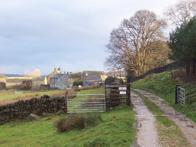
Accessible from several routes, Black Hill attracts outdoor enthusiasts and hikers who are drawn to its challenging terrain and picturesque landscapes. The Pennine Way, a popular long-distance footpath, passes near the summit, offering visitors the opportunity to explore the hill's rugged beauty. Although the climb can be demanding, the reward of reaching the top is well worth the effort.

Additionally, Black Hill holds historical significance as it was once a site of lead mining in the 19th century. The remains of old mine workings and spoil heaps can still be seen, serving as a reminder of the area's industrial past.

Overall, Black Hill in Yorkshire is a natural gem, combining stunning scenery, rich biodiversity, and a touch of history, making it a popular destination for nature lovers and adventure seekers alike.

If you have any feedback on the listing, please let us know in the comments section below.
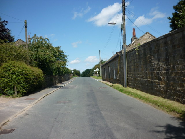
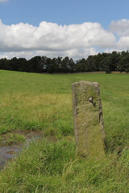
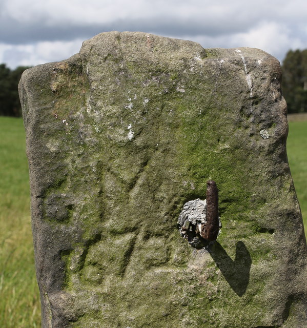
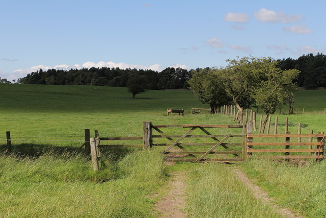
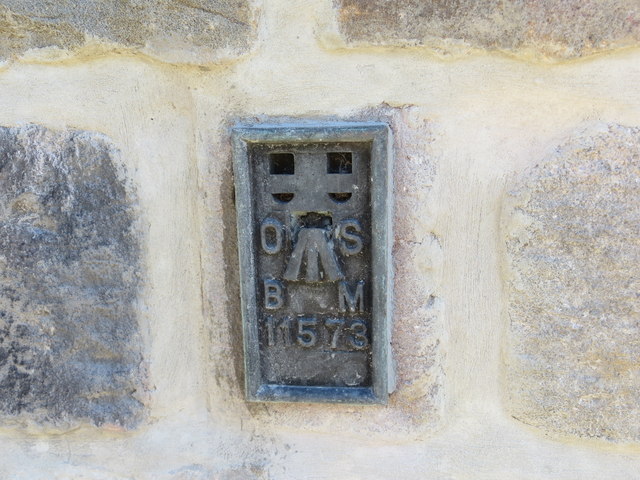
Black Hill Images

Images are sourced within 2km of 54.129101/-1.6740348 or Grid Reference SE2170. Thanks to Geograph Open Source API. All images are credited.

High Grantley, North Yorkshire
Drift Lane Walled track leading towards the Drovers Inn, Dallowgill now adopted by the Ripon Rowell Walk.
Drift Lane
Walled track leading towards the Drovers Inn, Dallowgill now adopted by the Ripon Rowell Walk.
Road on Skelding Moor Narrow moorland road crossing Skelding Moor - the gorse already starting to flower despite still in the month of January.
Road on Skelding Moor
Narrow moorland road crossing Skelding Moor - the gorse already starting to flower despite still in the month of January.
Road over Skelding Moor to Harper Hill Narrow road from Low Grantley to Harper Hill
Road over Skelding Moor to Harper Hill
Narrow road from Low Grantley to Harper Hill
Skelding Moor Moorland landscape near Grantley
Skelding Moor
Moorland landscape near Grantley
Old Gatepost. inscribed with the letters GM and numbers 1672. <a href="https://www.geograph.org.uk/photo/3056118">SE2270 : Old Gatepost (detail).</a>
Old Gatepost.
inscribed with the letters GM and numbers 1672. SE2270 : Old Gatepost (detail).
Old Gatepost (detail). <a href="https://www.geograph.org.uk/photo/3056115">SE2270 : Old Gatepost.</a>
Old Gatepost (detail).
Footpath from Redmires towards Lumley Moor.
Ordnance Survey Flush Bracket 11573 This re-sited Bracket can be found on the wall of a newly extended building at The Moorhouse - formerly the Drovers Inn.
For more detail see : <span class="nowrap"><a title="http://www.bench-marks.org.uk/bm22378" rel="nofollow ugc noopener" href="http://www.bench-marks.org.uk/bm22378">Link</a><img style="margin-left:2px;" alt="External link" title="External link - shift click to open in new window" src="https://s1.geograph.org.uk/img/external.png" width="10" height="10"/></span>
Ordnance Survey Flush Bracket 11573
This re-sited Bracket can be found on the wall of a newly extended building at The Moorhouse - formerly the Drovers Inn. For more detail see : LinkExternal link
The original location of the now re-sited Ordnance Survey Flush Bracket 11573 The wall of the former Drovers Inn.
For more detail see : <span class="nowrap"><a title="http://www.bench-marks.org.uk/bm22378" rel="nofollow ugc noopener" href="http://www.bench-marks.org.uk/bm22378">Link</a><img style="margin-left:2px;" alt="External link" title="External link - shift click to open in new window" src="https://s1.geograph.org.uk/img/external.png" width="10" height="10"/></span>
The original location of the now re-sited Ordnance Survey Flush Bracket 11573
The wall of the former Drovers Inn. For more detail see : LinkExternal link
New Building at the former Drovers Inn The re-position Ordnance Survey Flush Bracket 11573 is visible on the new wall.
For more detail see : <span class="nowrap"><a title="http://www.bench-marks.org.uk/bm22378" rel="nofollow ugc noopener" href="http://www.bench-marks.org.uk/bm22378">Link</a><img style="margin-left:2px;" alt="External link" title="External link - shift click to open in new window" src="https://s1.geograph.org.uk/img/external.png" width="10" height="10"/></span>
New Building at the former Drovers Inn
The re-position Ordnance Survey Flush Bracket 11573 is visible on the new wall. For more detail see : LinkExternal link
Dallow Collection of houses that make up the hamlet of Dallow, from the west.
Dallow
Collection of houses that make up the hamlet of Dallow, from the west.
Ducks at Dallow Sheltered from the wind by a wall, and protected from attack by a stern looking goose, these farm ducks ain't got a care in the world!
Ducks at Dallow
Sheltered from the wind by a wall, and protected from attack by a stern looking goose, these farm ducks ain't got a care in the world!
Track to Dallow Moor Beyond the sedges a surfaced track heads across Dallow Moor towards Kettlestang shooting house.
Track to Dallow Moor
Beyond the sedges a surfaced track heads across Dallow Moor towards Kettlestang shooting house.
Country road near Dallow (1) Heading north through Dallow Moor.
Country road near Dallow (1)
Heading north through Dallow Moor.
Country road near Dallow (2) Heading south through Dallow Moor.
Country road near Dallow (2)
Heading south through Dallow Moor.
Track  to  Wake  Hill  Farm Bonfire Hill on the right
Track to Wake Hill Farm
Bonfire Hill on the right
Road  over  Skelding  Moor A scenic route on a sunny day
Road over Skelding Moor
A scenic route on a sunny day
Show me another place!

Black Hill is located at Grid Ref: SE2170 (Lat: 54.129101, Lng: -1.6740348)

Division: West Riding

Administrative County: North Yorkshire

District: Harrogate

Police Authority: North Yorkshire

What 3 Words

///glorious.simulates.nervy. Near Pateley Bridge, North Yorkshire

Nearby Locations

Black Hill

Related Wikis

Grantley, North Yorkshire

Grantley is a village (also known as High Grantley) and civil parish in North Yorkshire, England. It lies 5 miles (8 km) west of Ripon. The parish also...

Eavestone

Eavestone is a hamlet and civil parish in the Harrogate district of North Yorkshire, England. It is situated near Brimham Rocks, 3 miles (4.8 km) east...

Laverton, North Yorkshire

Laverton is a village and civil parish in the Harrogate district of North Yorkshire, England, about 7 miles (11 km) west of Ripon. The population of this...

Grantley Hall

Grantley Hall is an English country house located in North Yorkshire, England. It is situated near Grantley, about 5 miles (8 km) to the west of Ripon...

Dallowgill

Dallowgill (historically also Dallaghill) is a village in Harrogate district in North Yorkshire, England. It consists of a number of scattered settlements...

Ripon and Pateley Bridge Rural District

Ripon and Pateley Bridge was a rural district in the West Riding of Yorkshire, England from 1937 to 1974. It was created in 1937 by a County Review Order...

Risplith

Risplith is a village in the civil parish of Sawley, in the Harrogate district of North Yorkshire, England. It is about 4 miles (6.4 km) west of Ripon...

Winksley

Winksley is a small village and civil parish in the district of Harrogate, North Yorkshire, England. It is situated west of Ripon, and is on the River...

Nearby Amenities

Located within 500m of 54.129101,-1.6740348
Black Hill
Natural: peak
Source: OS 1:25k
Lat/Long: 54.1283681/-1.6786189
The data included in this document is from www.openstreetmap.org. The data is made available under ODbL.

Have you been to Black Hill?

Leave your review of Black Hill below (or comments, questions and feedback).