Dost Hill
Hill, Mountain in Warwickshire Tamworth
England
Dost Hill
Dost Hill is a small hill located in Warwickshire, England. Situated near the town of Tamworth, it is part of the larger Cannock Chase Area of Outstanding Natural Beauty. Despite its modest elevation, Dost Hill offers beautiful panoramic views of the surrounding countryside.
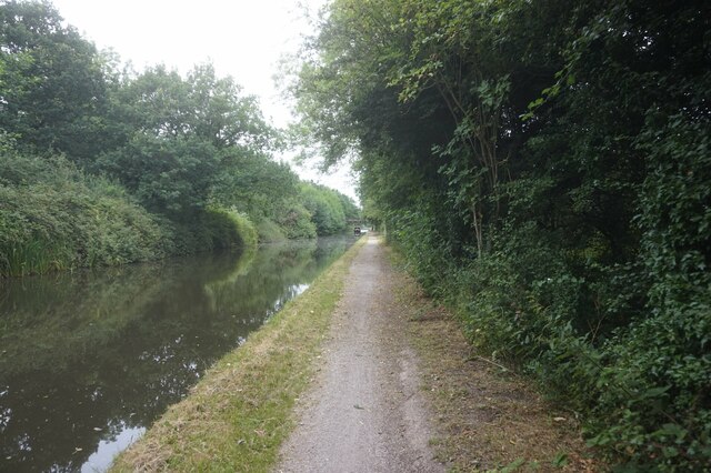
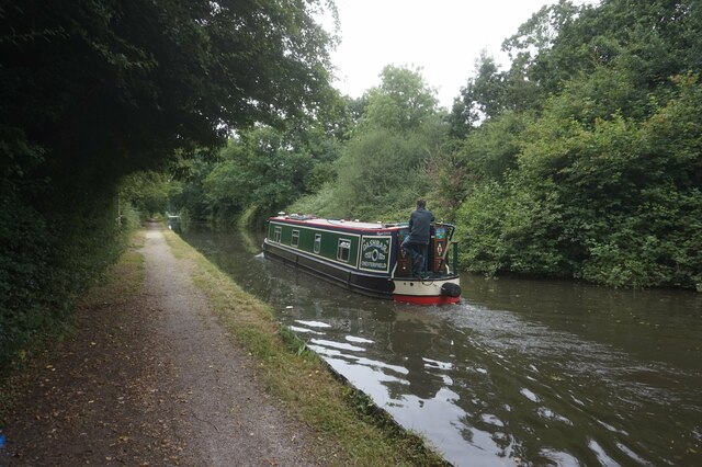
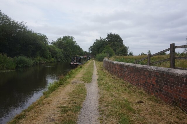
Covered in lush greenery, the hill is a popular spot for outdoor enthusiasts and nature lovers. Its location within the Cannock Chase forest means that it is home to a diverse range of flora and fauna. Visitors can enjoy peaceful walks along well-maintained trails, immersing themselves in the tranquility of the natural surroundings.
Dost Hill is also known for its historical significance. The area has evidence of human activity dating back to the Stone Age, and archaeological finds have included pottery fragments and tools. It is believed that the hill was once inhabited by ancient civilizations, adding to its cultural heritage.
There are no facilities or amenities directly on the hill itself, but nearby Tamworth offers a variety of services including accommodation, restaurants, and shops. The hill is easily accessible by car or public transportation, making it a convenient destination for day trips or longer stays.
Overall, Dost Hill in Warwickshire is a picturesque retreat that combines natural beauty with a rich history. Whether one is seeking outdoor adventures or a peaceful respite from the hustle and bustle of everyday life, this hill offers a captivating experience for all who visit.
If you have any feedback on the listing, please let us know in the comments section below.
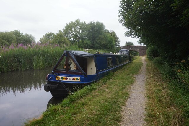
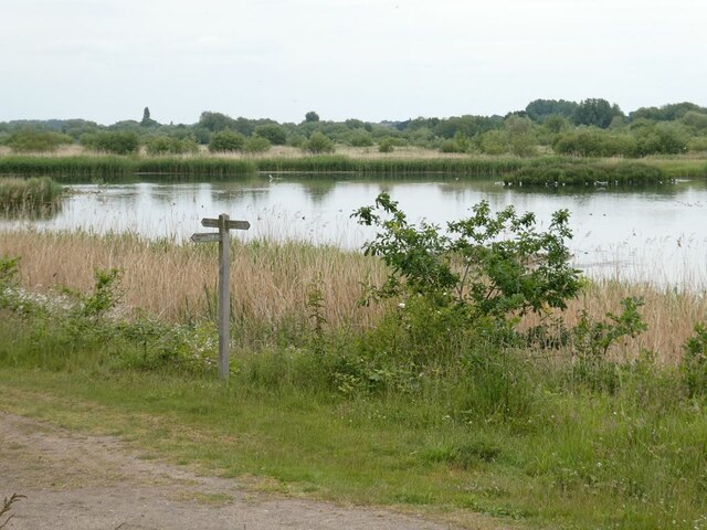
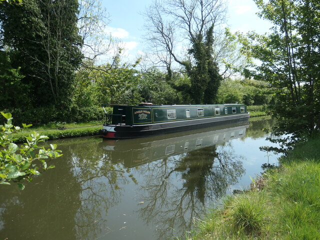
Dost Hill Images
Images are sourced within 2km of 52.593348/-1.688964 or Grid Reference SP2199. Thanks to Geograph Open Source API. All images are credited.
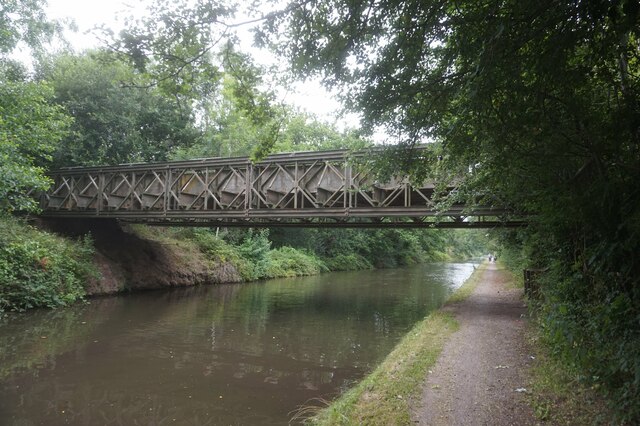


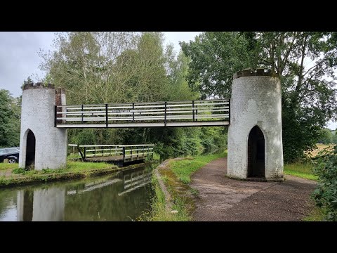
![Bridleway on Fishers Mill Bridge Heading west from the Birmingham & Fazeley canal. It forms the county boundary between Warwickshire [left/south] and Staffordshire [right/north]. Fishers Mill was a water-powered corn mill on the River Tame.](https://s0.geograph.org.uk/geophotos/07/20/92/7209284_7945c07c.jpg)

Dost Hill is located at Grid Ref: SP2199 (Lat: 52.593348, Lng: -1.688964)
Administrative County: Staffordshire
District: Tamworth
Police Authority: Staffordshire
What 3 Words
///book.shot.green. Near Fazeley, Staffordshire
Nearby Locations
Related Wikis
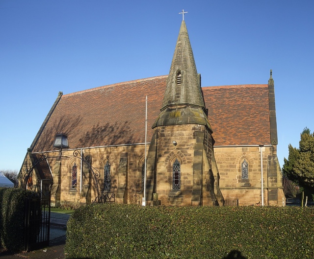
St Paul's Church, Dosthill
St Paul's Church, Dosthill is a Grade II listed parish church in the Church of England in Dosthill, Staffordshire, England. == History == The foundation...

Dosthill
Dosthill is an area of Tamworth, Staffordshire, 2.5 miles south of the town centre, and close to the River Tame. The area is mostly residential, centering...
Tamworth Rural District
Tamworth was a rural district in the English Midlands from 1894 to 1965. It was created under the Local Government Act 1894 from Tamworth rural sanitary...
Middleton Lakes RSPB reserve
Middleton Lakes RSPB reserve is a 160 hectares (400 acres) nature reserve, formally opened on 19 May 2011, created and run by the Royal Society for the...
Related Videos
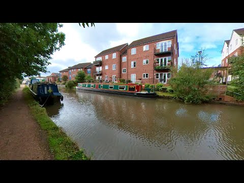
Peaceful Canal Walk to Fazeley Junction. English Countryside 4K. UK Walking Tour.
Peaceful Canal Walk to Fazeley Junction. English Countryside 4K. UK Walking Tour. Walk along the Birmingham & Fazeley Canal ...
Canal Walk from Fazeley Junction to Drayton Footbridge. 4K UK Walking Tour on the Canal Trail.
Canal Walk from Fazeley Junction to Drayton Footbridge. UK Walking Tour on the Canal Trail. English Countryside in 4K.

Walking The Birmingham and Fazeley Canal (Part 5)
The last part of my Walking the Birmingham and Fazeley Canal. Starting this part of the towpath walk at Kingsbury Water Park ...

Nearby Amenities
Located within 500m of 52.593348,-1.688964Have you been to Dost Hill?
Leave your review of Dost Hill below (or comments, questions and feedback).