Ditchford Hill

Hill, Mountain in Gloucestershire Cotswold

England

Ditchford Hill

Long lay-by on the A429
Long lay-by on the A429 Credit: Philip Jeffrey

Ditchford Hill, located in Gloucestershire, England, is a prominent hill that forms part of the Cotswold Range. Standing at an elevation of approximately 217 meters (712 feet), it offers magnificent panoramic views of the surrounding countryside. The hill is situated in the Cotswolds Area of Outstanding Natural Beauty, renowned for its stunning landscapes and picturesque villages.

Ditchford Hill is characterized by its gentle slopes and rolling terrain, covered in lush green meadows, patches of woodland, and scattered hedgerows. The hill is composed of limestone, a common geological feature found in the Cotswold Range, which gives it a distinctive appearance and contributes to its rich biodiversity.

The summit of Ditchford Hill boasts a trig point, a concrete pillar used in surveying, offering visitors a reference point to admire the breathtaking vistas. On a clear day, one can see for miles, with views extending over the Cotswold Hills, the River Severn, and even the distant Welsh mountains.

The hill is a popular destination for outdoor enthusiasts and nature lovers. It provides ample opportunities for hiking, walking, and wildlife observation. Ditchford Hill is home to diverse flora and fauna, with wildflowers dotting the landscape in spring and summer, and an array of bird species inhabiting the treetops.

Access to Ditchford Hill is available via public footpaths and bridleways, ensuring visitors can explore the area and enjoy its natural beauty. Whether it's a leisurely stroll, a challenging hike, or simply relishing the serenity of the countryside, Ditchford Hill offers an idyllic escape for all who venture to its summit.

If you have any feedback on the listing, please let us know in the comments section below.

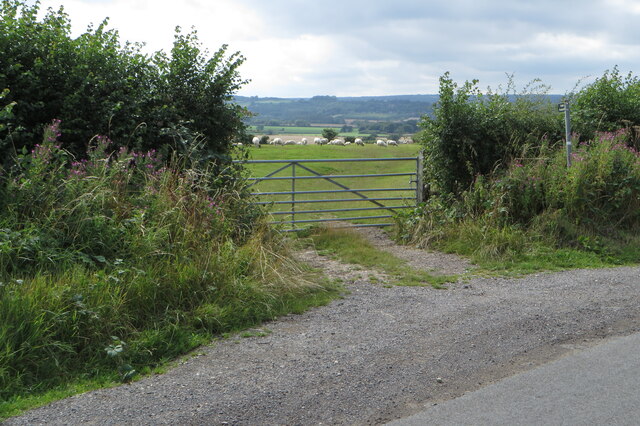
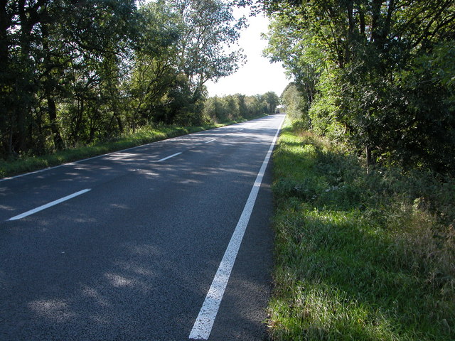
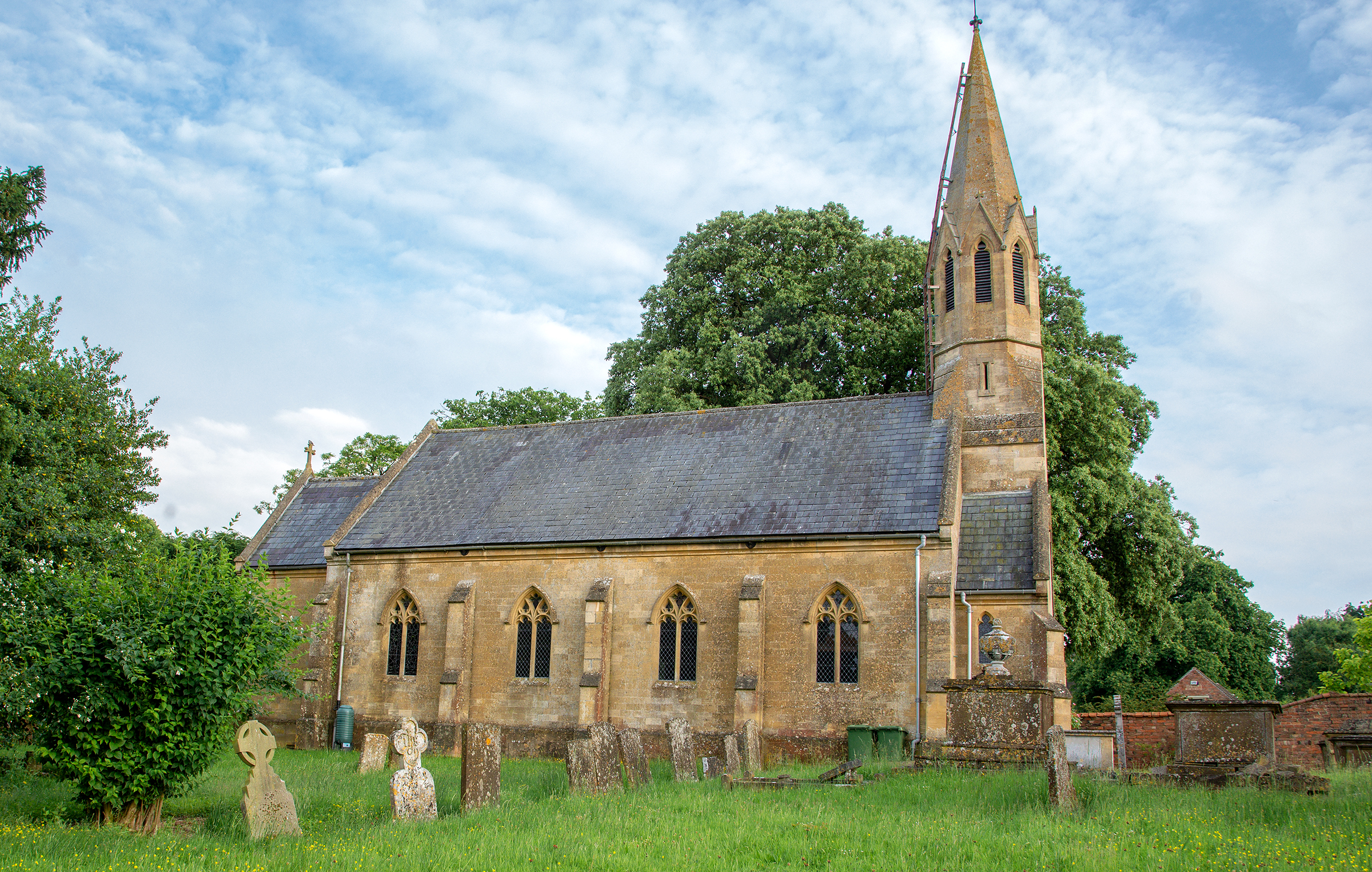
Ditchford Hill Images

Images are sourced within 2km of 52.0293/-1.6817 or Grid Reference SP2136. Thanks to Geograph Open Source API. All images are credited.

Long lay-by on the A429
Footpath to Oldborough Farm and Todenham
Footpath to Aston Magna
Trees by the stream
Trees by the stream
Rickety footbridge on the footpath towards the A429
Power lines over the stubble field
Lane towards Knee Bridge One of the few public roads I have come across that Google Streetview hasn't reached
Lane towards Knee Bridge
One of the few public roads I have come across that Google Streetview hasn't reached
Public footpath to Todenham
Footpath to Aston Magna
Curious sheep on the footpath into Todenham
Farmland by Ditchford Mill
Four solar panels by the footpath to Ditchford Frary
Field containing the remains of Lower Ditchford village
Track through the copse to Kneebridge barn The area behind the locked gate looked pretty derelict.
Track through the copse to Kneebridge barn
The area behind the locked gate looked pretty derelict.
Trees lining Knee Brook
Rudge and furrow Rudge and furrow in a field near Todenham,  The spire of Aston Magna church can be seen in the distance.
Rudge and furrow
Rudge and furrow in a field near Todenham, The spire of Aston Magna church can be seen in the distance.
Warwickshire/Gloucestershire  County Boundary The county boundary is where the road changes colour about 50 metres beyond the motor cyclist. The boundary is marked by the Paddle Brook which passes under the Fosse Way at that point.The motorcyclist  was speeding down the hill and braked hard when he saw me. He presumably thought I was law enforcement because of my Hi-Viz jacket. The road is dangerous due to its straightness and the high speeds that can be reached. The red sign in the middle states: HIGH RISK CRASH ROUTE.
Warwickshire/Gloucestershire County Boundary
The county boundary is where the road changes colour about 50 metres beyond the motor cyclist. The boundary is marked by the Paddle Brook which passes under the Fosse Way at that point.The motorcyclist was speeding down the hill and braked hard when he saw me. He presumably thought I was law enforcement because of my Hi-Viz jacket. The road is dangerous due to its straightness and the high speeds that can be reached. The red sign in the middle states: HIGH RISK CRASH ROUTE.
Cross-field through the wheat Below Dunsden Coppice
Cross-field through the wheat
Below Dunsden Coppice
Show me another place!

Ditchford Hill is located at Grid Ref: SP2136 (Lat: 52.0293, Lng: -1.6817)

Administrative County: Gloucestershire

District: Cotswold

Police Authority: Gloucestershire

What 3 Words

///mime.gradually.sprayed. Near Moreton in Marsh, Gloucestershire

Nearby Locations

Ditchford Hill

Related Wikis

A429 road

The A429 is a main road in England that runs in a north-northeasterly direction from junction 17 of the M4 motorway (4 miles (6.4 km) north of Chippenham...

Stretton-on-Fosse

Stretton-on-Fosse is a village in the Stratford District in Warwickshire, England. It is situated between the towns of Moreton-in-Marsh and Shipston-on...

Stretton-on-Fosse railway station

Stretton-on-Fosse railway station was a railway station which served the village of Stretton-on-Fosse, Warwickshire, England. It was located north-east...

Upper Ditchford

Upper Ditchford is an abandoned village to the west of the Fosse Way between Moreton-in-Marsh and Stretton on Fosse, now in the county of Gloucestershire...

Nearby Amenities

Located within 500m of 52.0293,-1.6817
Bus Stop
Ditchford On Fosse
Bench: no
Bin: no
Bus: yes
Lit: no
Naptan AtcoCode: 1600GLC601
Naptan Bearing: S
Naptan CommonName: Ditchford On Fosse
Naptan NaptanCode: glogjpam
Naptan Street: A429
Naptan Verified: no
Public Transport: platform
Shelter: no
Source: naptan_import
Tactile Paving: no
Lat/Long: 52.0311934/-1.6785409
Bus Stop
Ditchford On Fosse
Bench: no
Bin: no
Bus: yes
Lit: no
Naptan AtcoCode: 1600GLC602
Naptan Bearing: N
Naptan CommonName: Ditchford On Fosse
Naptan NaptanCode: glogjpaj
Naptan Street: A429
Naptan Verified: no
Public Transport: platform
Shelter: no
Source: naptan_import
Tactile Paving: no
Lat/Long: 52.0314273/-1.6785975
Tourism: guest_house
Lat/Long: 52.0319979/-1.6784664
Material: wood
Power: pole
Lat/Long: 52.0286033/-1.6745567
Material: wood
Power: pole
Lat/Long: 52.029209/-1.6755619
Material: wood
Power: pole
Lat/Long: 52.0298097/-1.6765644
Material: wood
Power: pole
Lat/Long: 52.0304077/-1.6775635
Material: wood
Power: pole
Lat/Long: 52.03099/-1.6785391
Material: wood
Power: pole
Lat/Long: 52.0311517/-1.6788271
Ditchford On Fosse
Material: wood
Power: pole
Transformer: distribution
Voltage Primary: 11000
Lat/Long: 52.0317445/-1.6791534
Material: wood
Power: pole
Lat/Long: 52.0312507/-1.6795778
Ditchford Hill
Material: wood
Power: pole
Transformer: distribution
Voltage Primary: 11000
Lat/Long: 52.0298237/-1.6821615
Material: wood
Power: pole
Lat/Long: 52.0302936/-1.6818202
Material: wood
Power: pole
Lat/Long: 52.0308559/-1.6814177
Material: wood
Power: pole
Lat/Long: 52.0314326/-1.6810048
Material: wood
Power: pole
Lat/Long: 52.0315766/-1.6821682
Material: wood
Power: pole
Lat/Long: 52.0319788/-1.6865703
Material: wood
Power: pole
Lat/Long: 52.0320081/-1.6855873
Material: wood
Power: pole
Lat/Long: 52.0317239/-1.6833289
Material: wood
Power: pole
Lat/Long: 52.0318641/-1.6844574
Material: wood
Power: pole
Lat/Long: 52.0319483/-1.6875862
The data included in this document is from www.openstreetmap.org. The data is made available under ODbL.

Have you been to Ditchford Hill?

Leave your review of Ditchford Hill below (or comments, questions and feedback).