Bull Hill
Hill, Mountain in Derbyshire Derbyshire Dales
England
Bull Hill
Bull Hill, located in the county of Derbyshire, England, is a prominent hill standing at an elevation of 440 meters (1,444 feet). It is part of the Peak District National Park, renowned for its stunning natural beauty and diverse landscapes. The hill is situated in the southern region of the national park, within close proximity to the picturesque village of Tideswell.
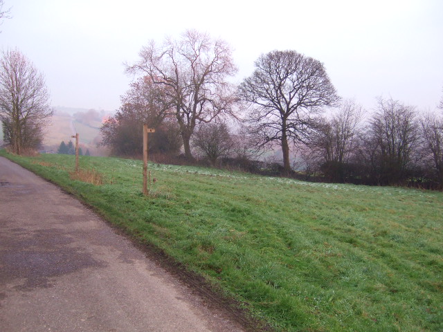
Bull Hill offers breathtaking panoramic views of the surrounding countryside, with its distinctive shape and prominent position making it a popular destination for hikers, nature enthusiasts, and photographers. The hill is characterized by its gentle slopes covered in a patchwork of fields, woodlands, and heather moorland, creating a diverse habitat for a variety of flora and fauna.
The summit of Bull Hill provides an excellent vantage point, offering uninterrupted views of the rolling Derbyshire Dales, the limestone dales of Tideswell and Miller's Dale, and the dramatic peaks of the Dark Peak to the north. On a clear day, it is even possible to catch a glimpse of the distant cityscape of Manchester.
In addition to its natural beauty, Bull Hill has a rich history, with ancient archaeological remains scattered across its slopes. The hill is believed to have been inhabited since the Bronze Age, and there are remnants of prehistoric settlement, including burial mounds and earthworks.
Access to Bull Hill is relatively easy, with a network of footpaths and trails crisscrossing the area, allowing visitors to explore its scenic surroundings. Whether it's a leisurely stroll or a challenging hike, Bull Hill offers an idyllic escape into nature, showcasing the diverse and captivating landscapes of Derbyshire's Peak District.
If you have any feedback on the listing, please let us know in the comments section below.
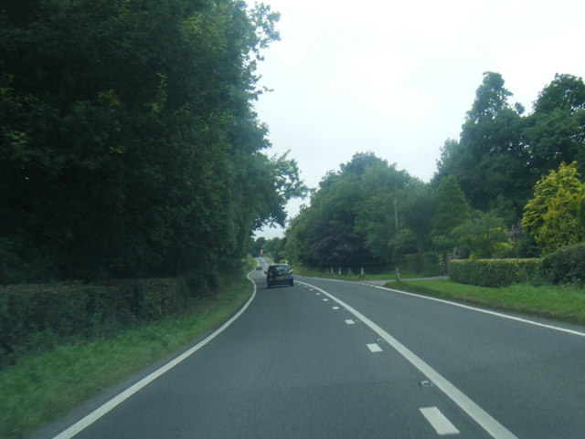
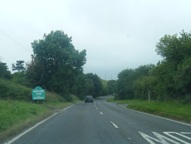
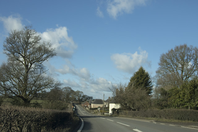
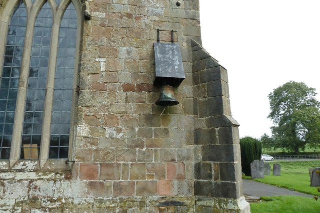
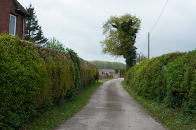
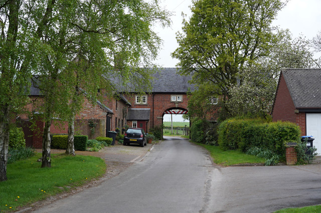
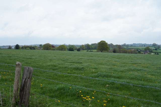
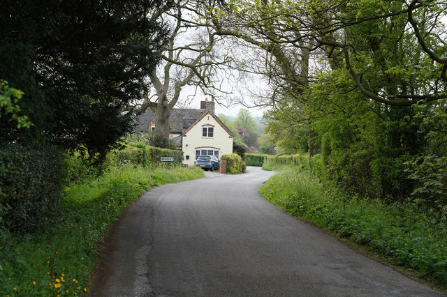
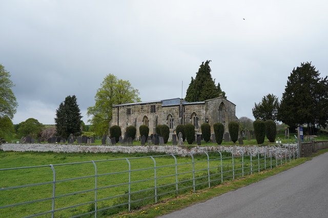
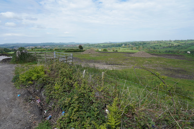
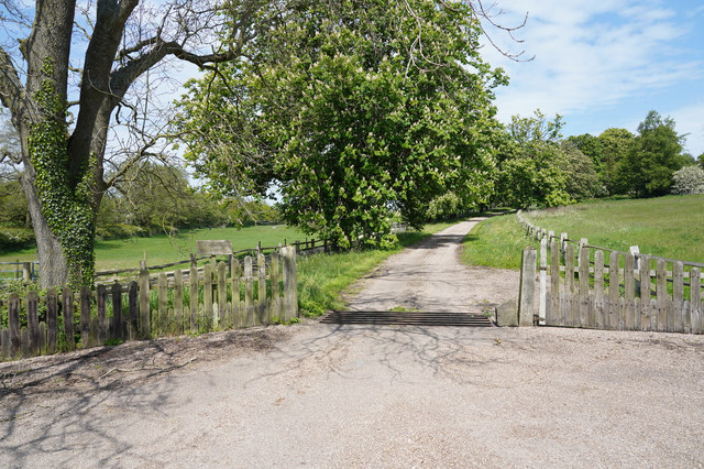
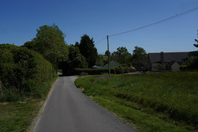
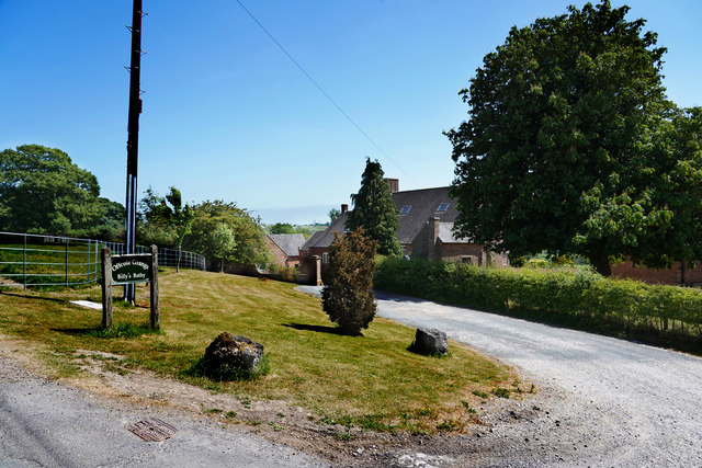
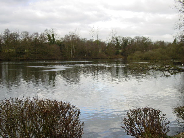
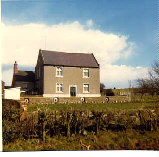
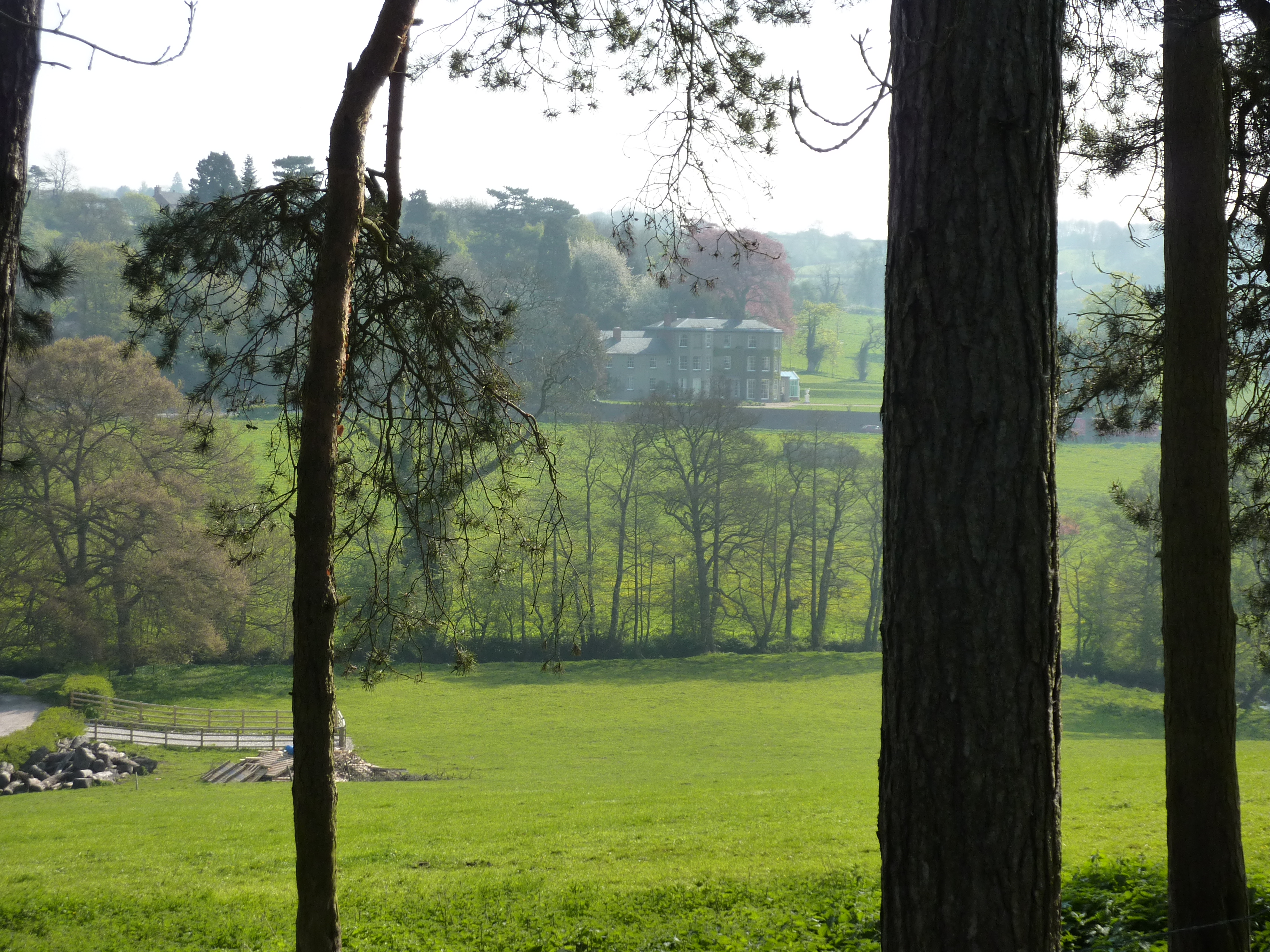
Bull Hill Images
Images are sourced within 2km of 53.011653/-1.6909456 or Grid Reference SK2046. Thanks to Geograph Open Source API. All images are credited.


Bull Hill is located at Grid Ref: SK2046 (Lat: 53.011653, Lng: -1.6909456)
Administrative County: Derbyshire
District: Derbyshire Dales
Police Authority: Derbyshire
What 3 Words
///skidding.wager.garages. Near Ashbourne, Derbyshire
Nearby Locations
Related Wikis
Sturston, Derbyshire
Sturston is a small area of settlement in Derbyshire, England. It is located on the A517 road, 1-mile (1.6 km) east of Ashbourne. It is in the civil parish...

RAF Ashbourne
Royal Air Force Ashbourne, or more simply RAF Ashbourne, is a former Royal Air Force station located approximately 1.5 miles (2.4 km) south-east of the...
Offcote and Underwood
Offcote and Underwood is a civil parish within the Derbyshire Dales district, in the county of Derbyshire, England. Largely rural, in 2011 the parish had...
Bradley, Derbyshire
Bradley is a village and civil parish in Derbyshire just east of Ashbourne. The population of the civil parish taken at the 2011 Census was 313. Other...

Yeldersley Hall, Derbyshire
Yeldersley Hall is a building of historical significance in Ashbourne, Derbyshire, England and is listed on the English Heritage Register. It was built...

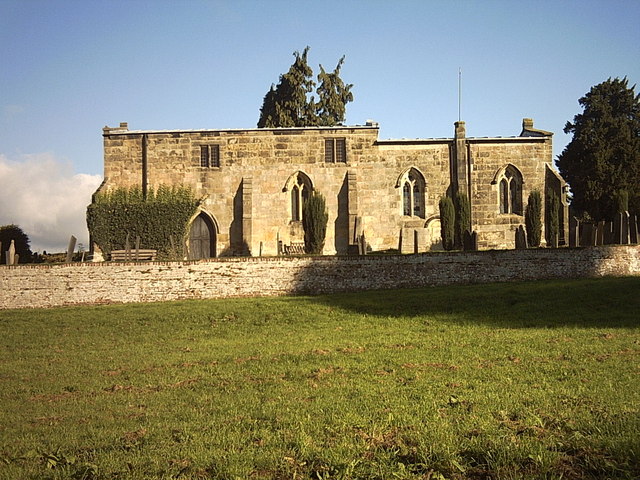
St Martin's Church, Osmaston
St Martin's Church, Osmaston is a Grade II* listed parish church in the Church of England: 295 in Osmaston, Derbyshire Dales. == History == The original...

Yeldersley
Yeldersley is a manor mentioned in the Domesday book. It is located near Ashbourne in Derbyshire. Today there is Yeldersley Hall. This hamlet had a population...
Ashbourne Green
Ashbourne Green is an area of Derbyshire, England. It is located in the Peak District, 1 mile north-east of Ashbourne in the Offcote and Underwood parish...
Nearby Amenities
Located within 500m of 53.011653,-1.6909456Have you been to Bull Hill?
Leave your review of Bull Hill below (or comments, questions and feedback).