Ewart's Hill

Hill, Mountain in Northumberland

England

Ewart's Hill

Doxford  Hall  built  in 1818  for  Henry  Taylor The house was enlarged and remodelled in 1910 and is now a hotel and spa, with large grounds and formal garden
Doxford Hall built in 1818 for Henry Taylor Credit: Martin Dawes

Ewart's Hill, located in Northumberland, England, is a prominent hill in the region. Standing at an elevation of approximately 245 meters (800 feet), it offers stunning views of the surrounding landscape. The hill is part of the Northumberland National Park, which is renowned for its picturesque scenery and diverse wildlife.

Ewart's Hill is characterized by its gentle slopes and grassy terrain, making it accessible to walkers and hikers of all abilities. The hill is crisscrossed by several footpaths and trails, allowing visitors to explore its natural beauty. On a clear day, one can admire panoramic views stretching across the Northumberland countryside, with rolling green hills, meandering rivers, and distant villages dotting the horizon.

The hill is also home to a variety of flora and fauna, making it a haven for nature enthusiasts. Rare plant species such as heather, bilberry, and wild orchids can be found on its slopes, providing a vibrant burst of color during the summer months. The birdlife is equally impressive, with sightings of kestrels, buzzards, and peregrine falcons being common.

Ewart's Hill holds historical significance as well. It is believed to have been named after a local landowner, and remnants of ancient settlements have been discovered in the vicinity. These archaeological finds add to the hill's allure, attracting history buffs and researchers alike.

Overall, Ewart's Hill in Northumberland offers a captivating blend of natural beauty, wildlife, and historical interest. Whether one seeks a leisurely walk, a wildlife-spotting expedition, or a glimpse into the region's past, this hill provides an ideal destination for outdoor enthusiasts and those seeking tranquility in a stunning setting.

If you have any feedback on the listing, please let us know in the comments section below.
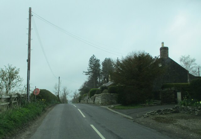
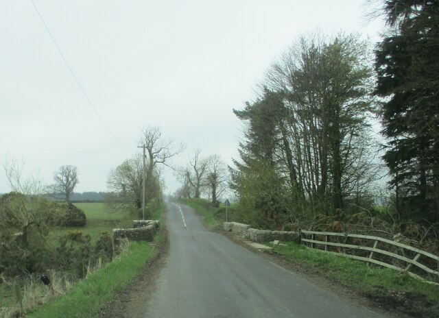
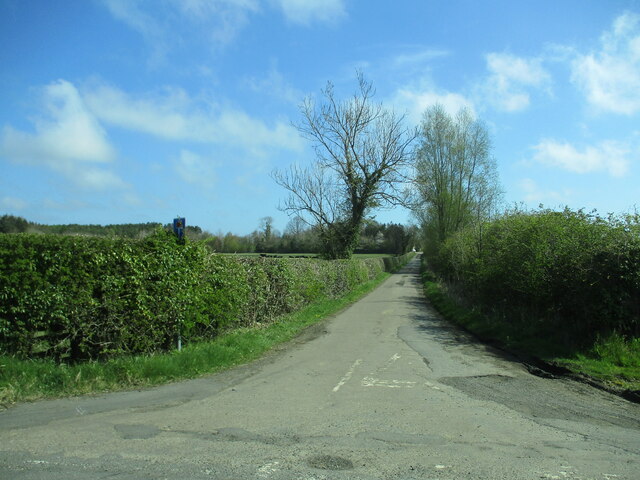
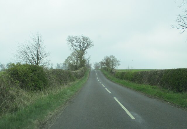
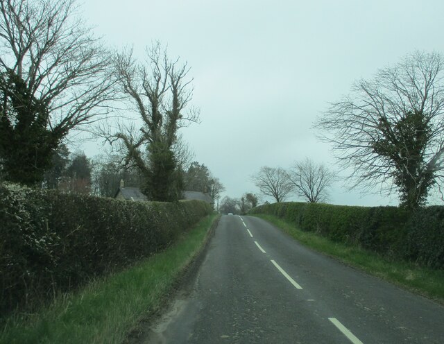
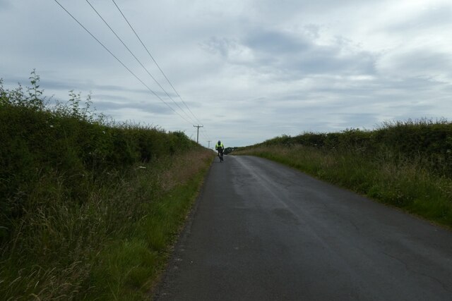
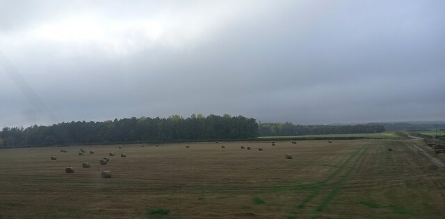
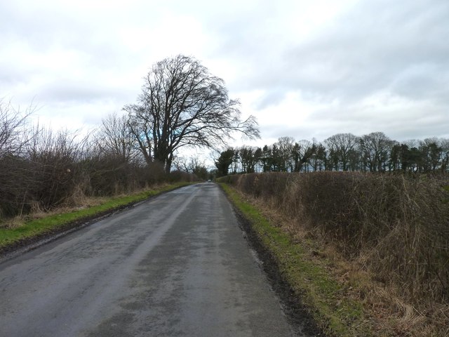
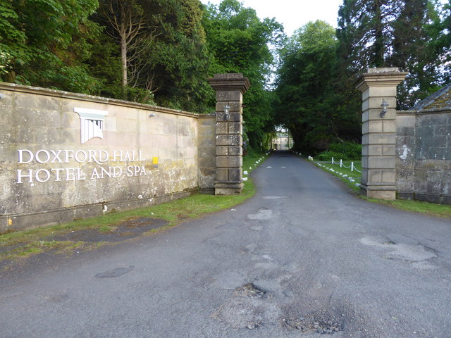
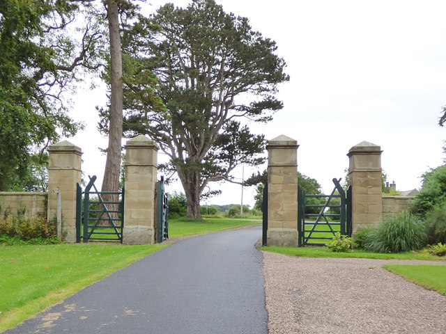
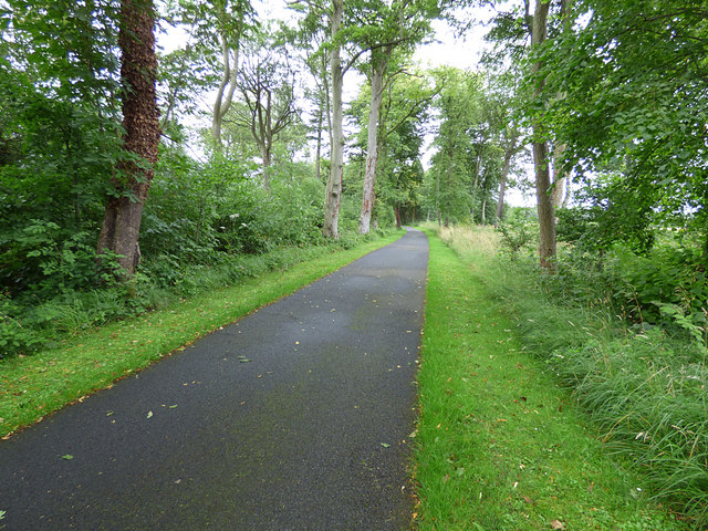
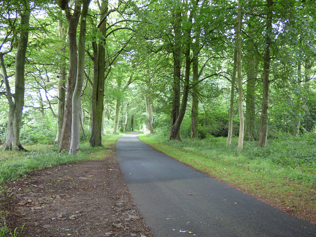
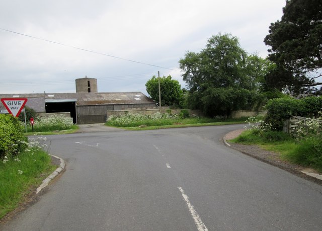
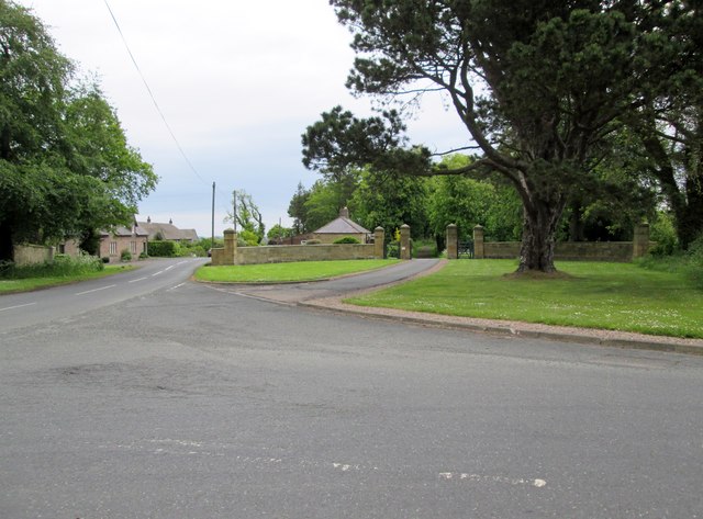
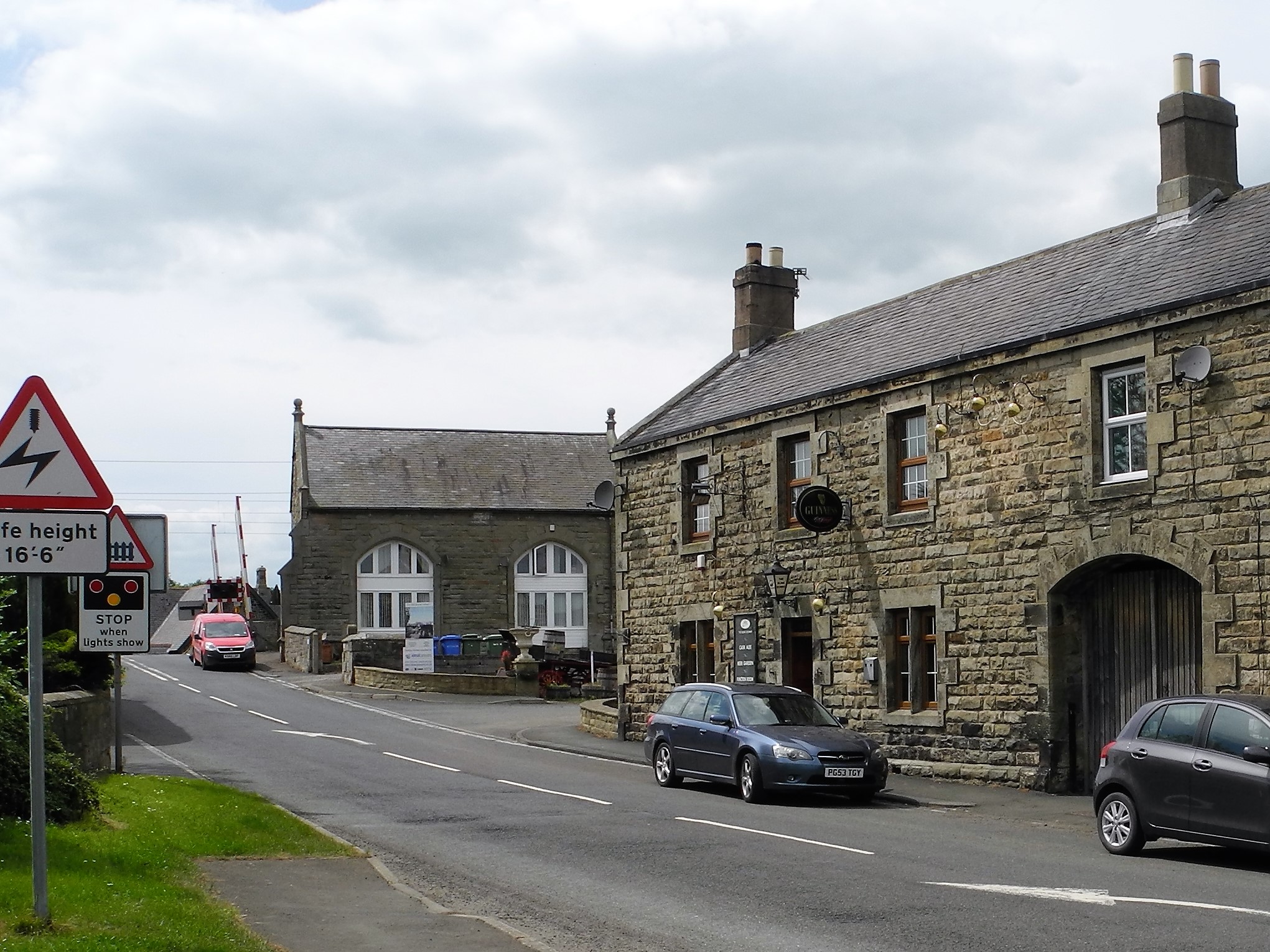
Ewart's Hill Images

Images are sourced within 2km of 55.507307/-1.6788076 or Grid Reference NU2023. Thanks to Geograph Open Source API. All images are credited.

Doxford  Hall  built  in 1818  for  Henry  Taylor The house was enlarged and remodelled in 1910 and is now a hotel and spa, with large grounds and formal garden
Doxford Hall built in 1818 for Henry Taylor
The house was enlarged and remodelled in 1910 and is now a hotel and spa, with large grounds and formal garden
Doxford  Hall  built  in 1818  view  through  the  formal  garden This garden was created when the house was enlarged in 1910
Doxford Hall built in 1818 view through the formal garden
This garden was created when the house was enlarged in 1910
Access  driveway  from  Doxford  Hall  hotel  to  main  gate The lodge can just be seen to the left of the gateway
Access driveway from Doxford Hall hotel to main gate
The lodge can just be seen to the left of the gateway
Power  lines   and  signpost
Power lines and signpost
Cottages  at  Burnhouses On the road to West Fallodon
Cottages at Burnhouses
On the road to West Fallodon
Stone  bridge  over  Mill  Burn  on  road  to  West  Fallodon
Stone bridge over Mill Burn on road to West Fallodon
Access  road  to  South  Broomford  farm From the minor road to Preston
Access road to South Broomford farm
From the minor road to Preston
Minor  country  road  going  south  to  West  Fallodon A long straight road but rising
Minor country road going south to West Fallodon
A long straight road but rising
Entering  West  Fallodon  from  the  north A number of cottages and a large farm could describe it
Entering West Fallodon from the north
A number of cottages and a large farm could describe it
Road near Burnhouses Looking along the road between Preston and Embleton. It also forms part of NCN1.
Road near Burnhouses
Looking along the road between Preston and Embleton. It also forms part of NCN1.
Fields between Preston and Brunton
Long Plantation North-east of Doxford Hall.
Long Plantation
North-east of Doxford Hall.
Entrance to Doxford Hall
Gates of Fallodon West Lodge Fallodon Hall - seat of the Grey family - is a private residence, but the mile-long avenue from the West Lodge is a public footpath.  The way that the sign for the footpath has been hidden behind a pillar on the inside of the gate suggests the landowner is trying to keep that fact quiet from those not in possession of a map.
Gates of Fallodon West Lodge
Fallodon Hall - seat of the Grey family - is a private residence, but the mile-long avenue from the West Lodge is a public footpath. The way that the sign for the footpath has been hidden behind a pillar on the inside of the gate suggests the landowner is trying to keep that fact quiet from those not in possession of a map.
Fallodon Avenue (1) Fallodon Hall - seat of the Grey family - is a private residence, but the mile-long avenue from the West Lodge is a public footpath.
Fallodon Avenue (1)
Fallodon Hall - seat of the Grey family - is a private residence, but the mile-long avenue from the West Lodge is a public footpath.
Fallodon Avenue (2) Fallodon Hall - seat of the Grey family - is a private residence, but the mile-long avenue from the West Lodge is a public footpath.  The road appears to have been deliberately set out to bend gently left and right within the belt of trees forming the avenue, perhaps to bring a sense of exploration rather than having a long straight vista.
Fallodon Avenue (2)
Fallodon Hall - seat of the Grey family - is a private residence, but the mile-long avenue from the West Lodge is a public footpath. The road appears to have been deliberately set out to bend gently left and right within the belt of trees forming the avenue, perhaps to bring a sense of exploration rather than having a long straight vista.
Road  junction  at  West  Fallodon Although a give way sign the B6347 swings left here and the road coming from the right is a minor road
Road junction at West Fallodon
Although a give way sign the B6347 swings left here and the road coming from the right is a minor road
West  Fallodon  and  the  entrance  to  West  Lodge The gateway at west lodge leads to The Avenue to Fallodon Hall
West Fallodon and the entrance to West Lodge
The gateway at west lodge leads to The Avenue to Fallodon Hall
Show me another place!

Ewart's Hill is located at Grid Ref: NU2023 (Lat: 55.507307, Lng: -1.6788076)

Unitary Authority: Northumberland

Police Authority: Northumbria

What 3 Words

///synthetic.wept.galloped. Near Embleton, Northumberland

Nearby Locations

Ewart's Hill Old Wood

Related Wikis

Fallodon

Fallodon is a hamlet and former civil parish, now in the parish of Newton-by-the-Sea, in the county of Northumberland, England. It is the territorial designation...

Fallodon railway station

Fallodon railway station was a private railway station built for Sir George Grey at Fallodon Hall, Northumberland, England from 1847 to 1934 on the East...

Brunton, Northumberland

Brunton is a village and former civil parish, now in the parish of Newton-by-the-Sea, in the county of Northumberland, England. It is about 7 miles (11...

Christon Bank railway station

Christon Bank railway station served the village of Christon Bank, Northumberland, England from 1847 to 1965 on the East Coast Main Line. == History... ==

Christon Bank

Christon Bank is a small village in Northumberland, England, 9 miles north of the town of Alnwick. Prior to 1847 it was a small farming hamlet, which was...

RAF Brunton

Royal Air Force Brunton or more simply RAF Brunton is a former Royal Air Force satellite airfield located in Northumberland, England. The following units...

Preston Tower, Northumberland

Preston Tower is a fourteenth-century pele tower in Preston, Northumberland, England built in 1392. The tower is now a private museum. == References... ==

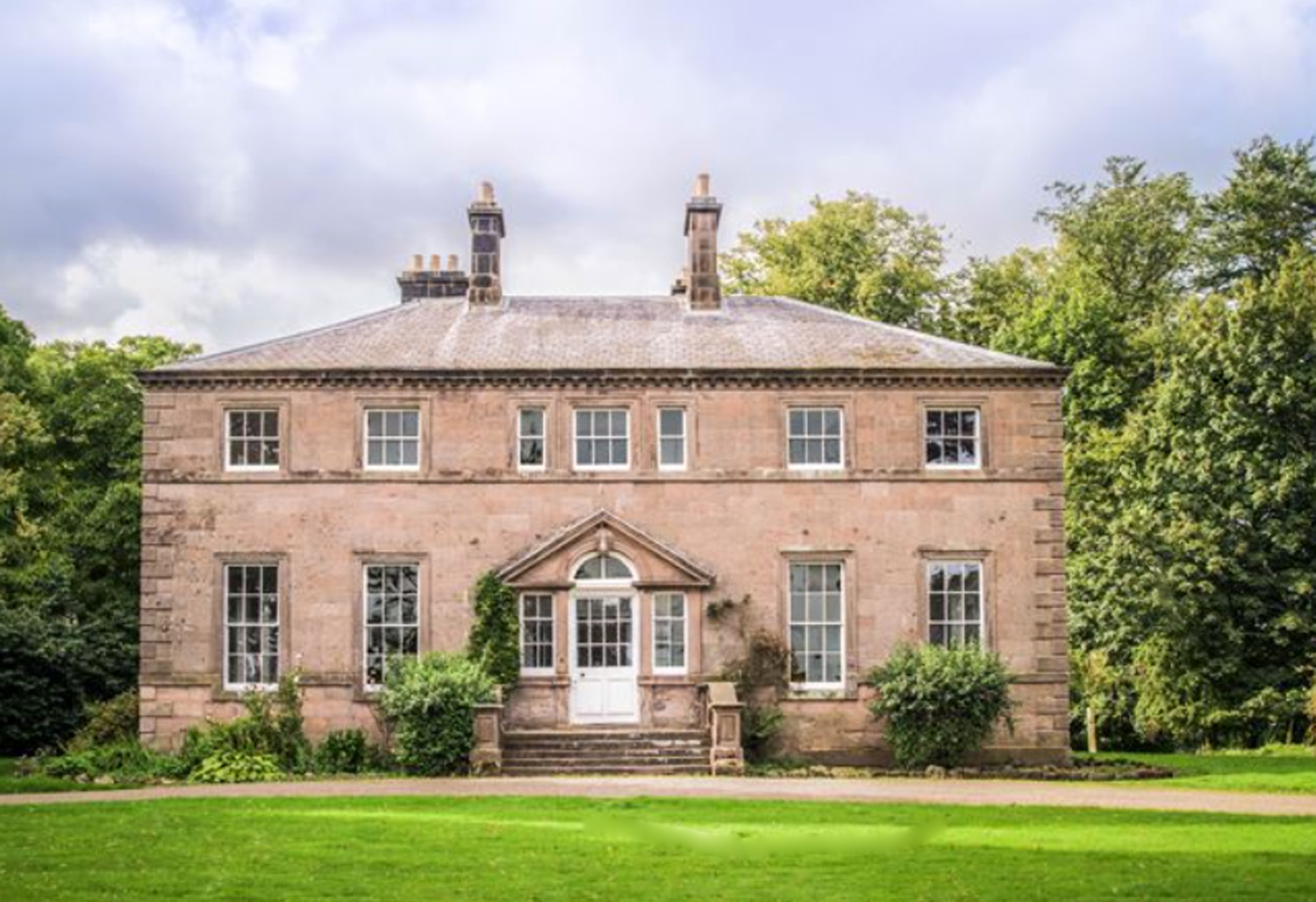
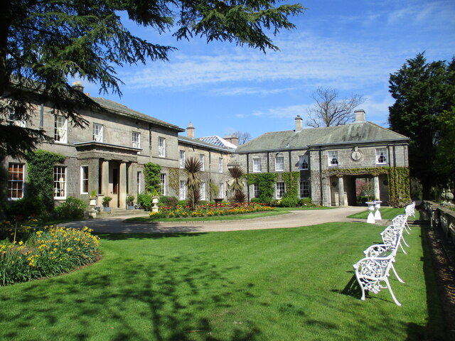
Charlton Hall, Northumberland

Charlton Hall near Ellingham, Northumberland is a building of historical significance and is listed Grade II* on the English Heritage Register. It was...

Nearby Amenities

Located within 500m of 55.507307,-1.6788076
Ewart's Hill
Place: locality
Lat/Long: 55.5074388/-1.678866
Power: pole
Lat/Long: 55.503308/-1.6819609
The data included in this document is from www.openstreetmap.org. The data is made available under ODbL.

Have you been to Ewart's Hill?

Leave your review of Ewart's Hill below (or comments, questions and feedback).