Blackamoor Hill
Hill, Mountain in Durham
England
Blackamoor Hill
Blackamoor Hill is a prominent natural landmark located in County Durham, England. Situated near the village of Sherburn Hill, it forms part of the beautiful landscape of the Durham Dales. The hill, known for its striking appearance and panoramic views, stands at an elevation of approximately 274 meters (899 feet) above sea level.
Covered in verdant vegetation, Blackamoor Hill is primarily composed of carboniferous limestone, which adds to its unique character. The hill's distinct shape, resembling a hunchback, is a result of years of erosion from wind and rain. This weathered surface gives the hill a rugged and picturesque allure.
The summit of Blackamoor Hill offers breathtaking views of the surrounding countryside. On a clear day, visitors can appreciate the sprawling fields, patchwork farmlands, and distant hills that stretch out before them. The hill is also a popular destination for hikers and nature enthusiasts, who enjoy exploring the various footpaths and trails that traverse its slopes.
Aside from its natural beauty, Blackamoor Hill is also steeped in local folklore and history. Some believe that the name "Blackamoor" derives from the presence of coal in the area, which would have been mined in the past. Others suggest that it may be linked to the presence of dark, moss-covered rocks on the hillside.
Overall, Blackamoor Hill is a captivating landmark that showcases the rugged charm of County Durham. Its stunning vistas, rich geological features, and cultural significance make it an appealing destination for both locals and tourists seeking a glimpse of the region's natural wonders.
If you have any feedback on the listing, please let us know in the comments section below.
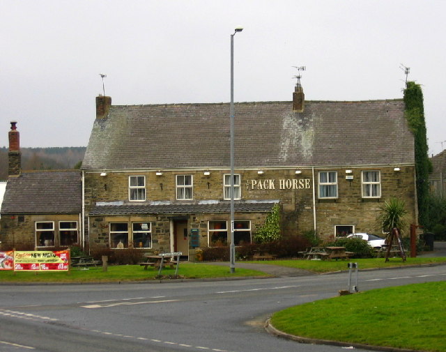
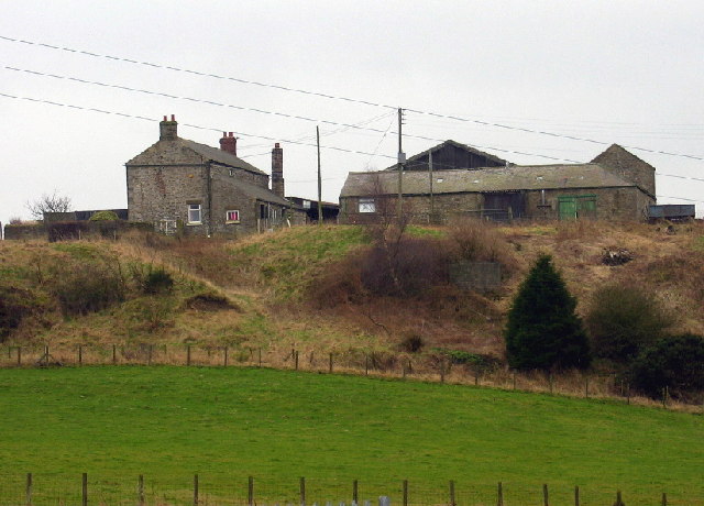
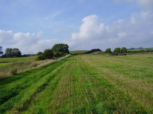
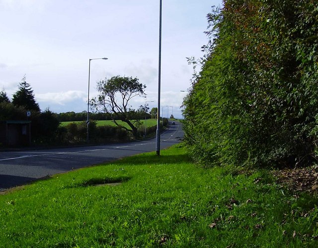
Blackamoor Hill Images
Images are sourced within 2km of 54.91435/-1.6981279 or Grid Reference NZ1957. Thanks to Geograph Open Source API. All images are credited.


Blackamoor Hill is located at Grid Ref: NZ1957 (Lat: 54.91435, Lng: -1.6981279)
Unitary Authority: Gateshead
Police Authority: Northumbria
What 3 Words
///starters.bespoke.logbook. Near Burnopfield, Co. Durham
Nearby Locations
Related Wikis

Byermoor
Byermoor is a village near Burnopfield and Sunniside in England. The village has a population of around 100 and contains a school (Sacred Heart) and a...
Marley Hill
Marley Hill is a former colliery village about six miles to the south west of Gateshead, near the border between Tyne and Wear and County Durham. It has...

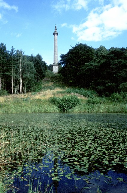
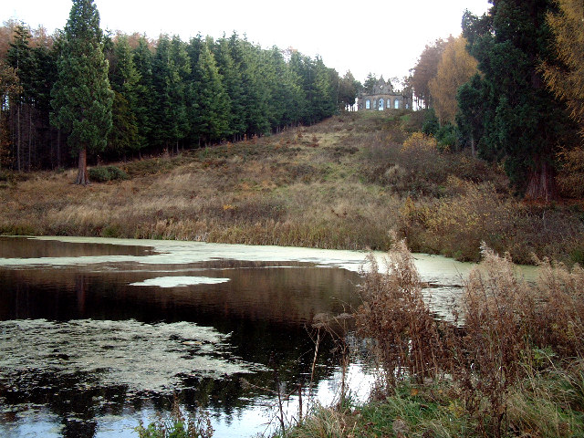
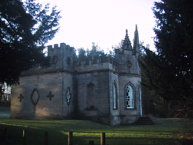
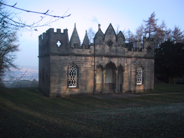
Banqueting House, Gibside
The Banqueting House is an 18th-century building, part of the Gibside estate, near Newcastle upon Tyne, England. Its style has been described as "Gothick...
Crookgate Bank
Crookgate Bank is a village in County Durham, in England. It is situated to the east of Burnopfield. == References ==
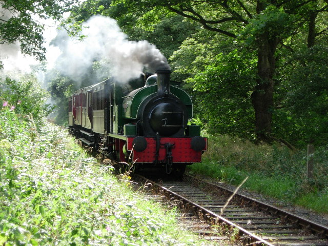
Tanfield Railway
The Tanfield Railway is a 4 ft 8+1⁄2 in (1,435 mm) standard gauge heritage railway in Gateshead and County Durham, England. Running on part of a former...
Sunniside, Gateshead
Sunniside is a village in the Metropolitan Borough of Gateshead, which is located around 5.5 miles (9 km) from Newcastle upon Tyne. Prior to the creation...
Causey Bank Mires
Causey Bank Mires is a Site of Special Scientific Interest in the Derwentside district of County Durham, England. It lies alongside and to the west of...
Causey, County Durham
Causey is a village in County Durham, in England. It is situated a short distance to the north of Stanley. == Demographic Information == Village contains...
Nearby Amenities
Located within 500m of 54.91435,-1.6981279Have you been to Blackamoor Hill?
Leave your review of Blackamoor Hill below (or comments, questions and feedback).