Carr Top

Hill, Mountain in Yorkshire Harrogate

England

Carr Top

Dob Park Seen from Snowden Carr Road, this farmland is the former site of Dob Park.  Dob Park Woods lie to the left and the ruined Dob Park Lodge is the speck on the skyline centre-right and just outside the gridsquare.
Dob Park Credit: David Spencer

Carr Top is a prominent hill located in the county of Yorkshire, England. Situated in the beautiful region of North Yorkshire, it is part of the larger Pennine range. Standing at an elevation of approximately 433 meters (1,421 feet), Carr Top offers breathtaking panoramic views of the surrounding landscape.

The hill is characterized by its gently sloping sides and is covered in lush green grass, making it an ideal spot for leisurely hikes and picnics. The summit is relatively flat, providing ample space for visitors to soak in the stunning vistas. On a clear day, one can see the rolling hills, valleys, and charming villages that dot the Yorkshire Dales.

Carr Top is a popular destination for outdoor enthusiasts and nature lovers alike. Its tranquil setting and natural beauty make it a perfect location for photography, birdwatching, or simply enjoying the serenity of the countryside. The hill also offers various walking trails, ranging from easy strolls to more challenging hikes, catering to all levels of fitness.

The surrounding area is rich in flora and fauna, with a diverse range of plant species and wildlife. Visitors may encounter rabbits, hares, and various bird species, including kestrels and pheasants, as they explore the hill and its surroundings.

Carr Top is easily accessible, with a car park located nearby, allowing visitors to conveniently reach the hilltop. It is a must-visit destination for those seeking a tranquil escape amidst the natural beauty of Yorkshire.

If you have any feedback on the listing, please let us know in the comments section below.
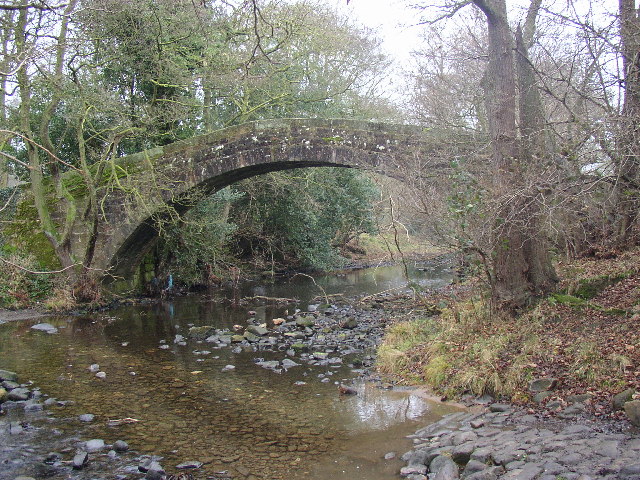
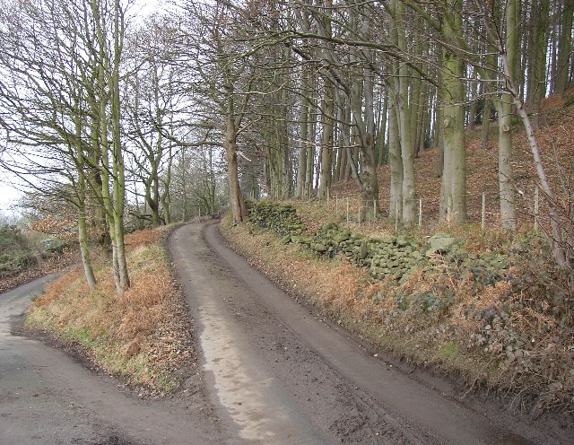
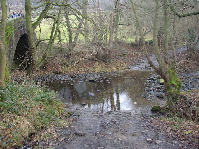
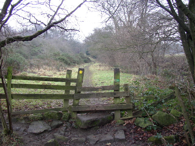
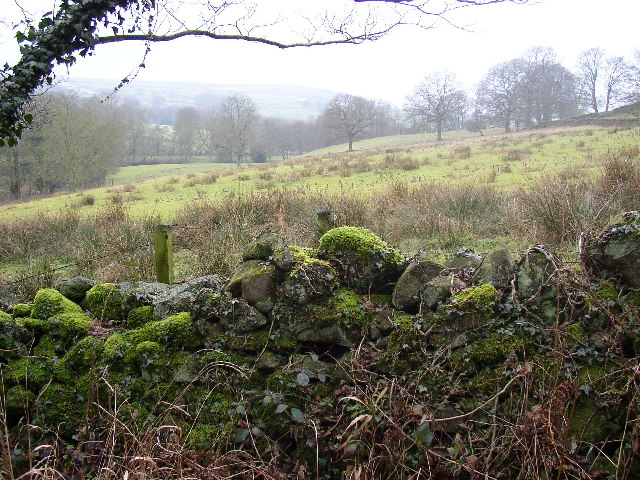
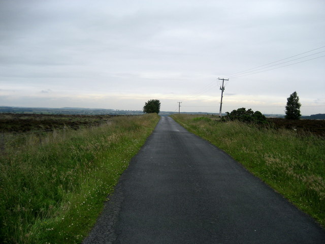
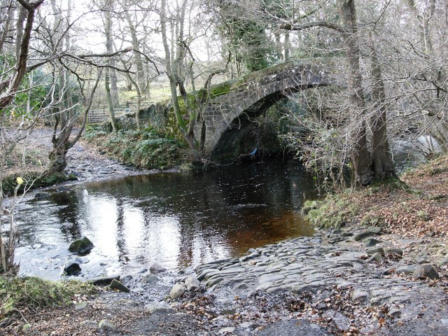
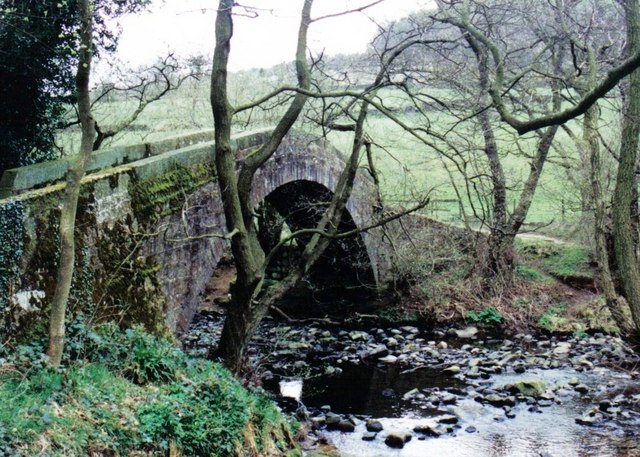
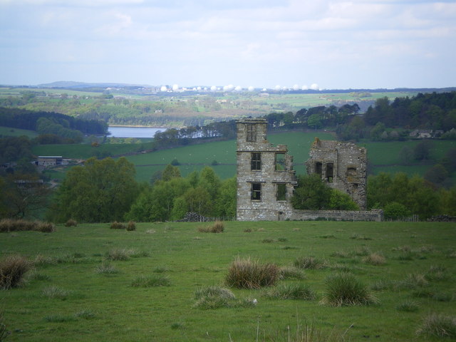
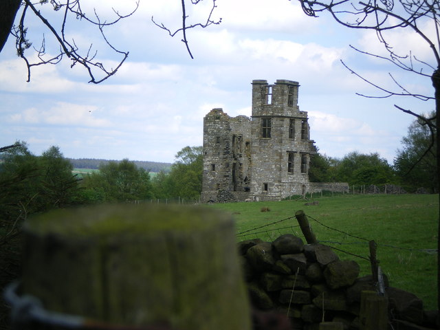
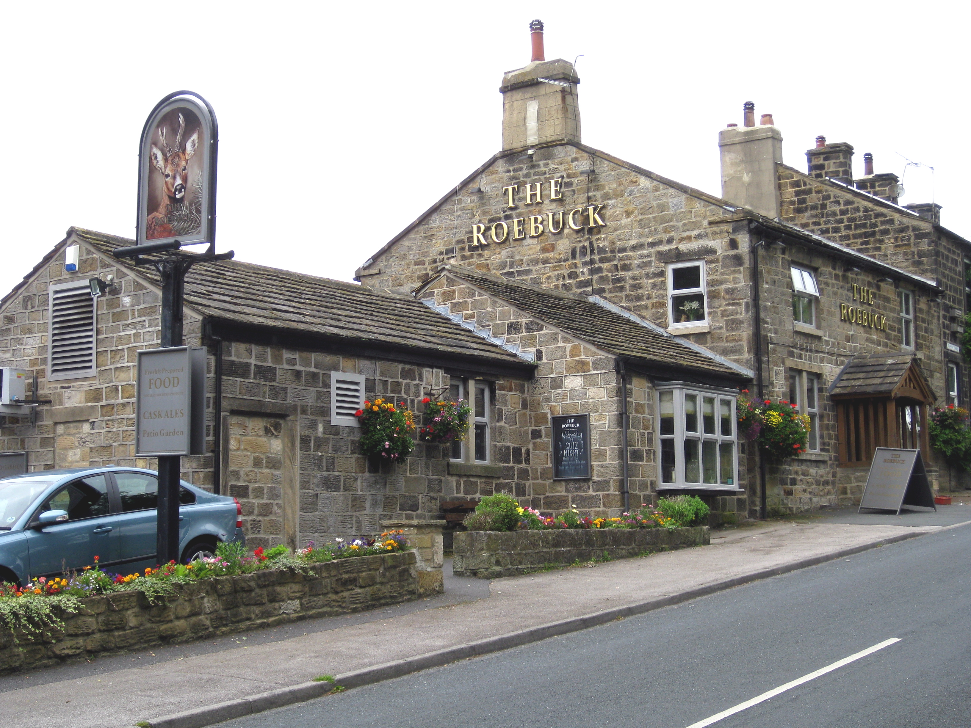
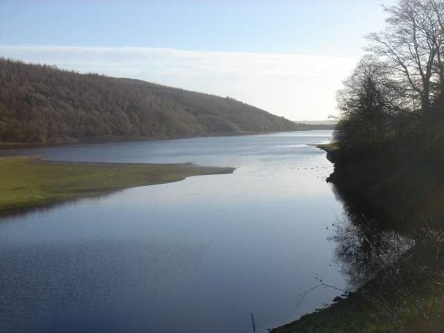
Carr Top Images

Images are sourced within 2km of 53.938828/-1.7069289 or Grid Reference SE1949. Thanks to Geograph Open Source API. All images are credited.

Dob Park Seen from Snowden Carr Road, this farmland is the former site of Dob Park.  Dob Park Woods lie to the left and the ruined Dob Park Lodge is the speck on the skyline centre-right and just outside the gridsquare.
Dob Park
Seen from Snowden Carr Road, this farmland is the former site of Dob Park. Dob Park Woods lie to the left and the ruined Dob Park Lodge is the speck on the skyline centre-right and just outside the gridsquare.
Dob Park Bridge, Norwood This magnificent packhorse bridge is on an unsurfaced lane from Norwood southwards towards Otley.  Vehicles have to use the rather rough ford.
Dob Park Bridge, Norwood
This magnificent packhorse bridge is on an unsurfaced lane from Norwood southwards towards Otley. Vehicles have to use the rather rough ford.
Road junction near Dob Park, Norwood, North Yorkshire This is a triangular junction, although the lane to the left (not visible in the photo) down to Dob Park Packhorse Bridge is not fit for modern traffic (other than bicycles!).  The wood is called Hanging Bank.
Road junction near Dob Park, Norwood, North Yorkshire
This is a triangular junction, although the lane to the left (not visible in the photo) down to Dob Park Packhorse Bridge is not fit for modern traffic (other than bicycles!). The wood is called Hanging Bank.
Dob Park Ford, Norwood, North Yorkshire This is the ford alongside the packhorse bridge.  The river is the Washburn.
Dob Park Ford, Norwood, North Yorkshire
This is the ford alongside the packhorse bridge. The river is the Washburn.
Footpath near Dob Park Bridge, Norwood, North Yorkshire This well-used public footpath follows the north-east bank of the River Washburn (looking to the south-east).
Footpath near Dob Park Bridge, Norwood, North Yorkshire
This well-used public footpath follows the north-east bank of the River Washburn (looking to the south-east).
Mossy wall and wet field, Norwood, North Yorkshire This is taken looking westward from the lane to Dob Park Bridge.
Mossy wall and wet field, Norwood, North Yorkshire
This is taken looking westward from the lane to Dob Park Bridge.
Snowden Carr Road Leads off the ridge, descending to Dob Park.
Snowden Carr Road
Leads off the ridge, descending to Dob Park.
Askwith Moor Road Part of the road that utilises the broad ridge of Snowden Carr between Otley and Blubberhouses.
Askwith Moor Road
Part of the road that utilises the broad ridge of Snowden Carr between Otley and Blubberhouses.
Lane towards Norwood Bottom Hall
Old ford and packhorse bridge
Snowden Beck Flooded with melting snow and blocking the footpath
Snowden Beck
Flooded with melting snow and blocking the footpath
Norwood Bottom Hall
Norwood Bottom Hall
Crossroads to Low Snowden A loop road leaves the moor road for Low Snowden descending into farming country.  Ilkley Moor dominates the view westwards.
Crossroads to Low Snowden
A loop road leaves the moor road for Low Snowden descending into farming country. Ilkley Moor dominates the view westwards.
Steep hill to Low Snowden The quiet and steep loop road to Low Snowden provides excellent walking and a route for horse riders, while allowing one to ponder on the need for the US/UK interception facility on Menwith Hill.
Steep hill to Low Snowden
The quiet and steep loop road to Low Snowden provides excellent walking and a route for horse riders, while allowing one to ponder on the need for the US/UK interception facility on Menwith Hill.
Dob Park Bridge A packhorse bridge across the river Washburn in the Washburn valley
Dob Park Bridge
A packhorse bridge across the river Washburn in the Washburn valley
Dobpark Lodge Remains of Dobpark Lodge with Swinsty reservoir & Menwith Hill in the background.
Dobpark Lodge
Remains of Dobpark Lodge with Swinsty reservoir & Menwith Hill in the background.
Dobpark Lodge
Dobpark Lodge
Difficult stile, Dobpark Wood Footpath 15 141/13/1 enters the wood via this tumbledown stile, with loose boulders.
Difficult stile, Dobpark Wood
Footpath 15 141/13/1 enters the wood via this tumbledown stile, with loose boulders.
Show me another place!

Carr Top is located at Grid Ref: SE1949 (Lat: 53.938828, Lng: -1.7069289)

Division: West Riding

Administrative County: North Yorkshire

District: Harrogate

Police Authority: North Yorkshire

What 3 Words

///hike.wisely.resolves. Near Otley, West Yorkshire

Related Wikis

Newall with Clifton

Newall with Clifton (historically also spelt Newell with Clifton) is a civil parish in North Yorkshire, England. It lies two miles north of Otley in West...

Lindley Wood Reservoir

Lindley Wood Reservoir is located in the Washburn valley north of Otley in Yorkshire, England. == History == The reservoir was built by navvies between...

Snowden Crags

Snowden Crags is a prehistoric archaeological site on Askwith Moor in North Yorkshire, England. Local antiquarian Eric Cowling recorded a stone circle...

Askwith

Askwith is a village and civil parish in North Yorkshire, England, with a population of 220 (2001 census), increasing to 240 at the 2011 Census. The village...

Nearby Amenities

Located within 500m of 53.938828,-1.7069289
Weston Moor
Description: Shown on as a cotton mill. Not know whether any buildings relate to that time
Historic: industrial
Output: cotton
Source: NLS-OS-NatGrid-110k-1940-60
Lat/Long: 53.9388237/-1.7123065
Natural: well
Source: OS 1:25k
Lat/Long: 53.9363354/-1.7073162
Barrier: stile
Lat/Long: 53.9395358/-1.7036025
Barrier: cattle_grid
Source: Bing
Lat/Long: 53.9411753/-1.711363
Barrier: cattle_grid
Source: Bing
Lat/Long: 53.9410388/-1.7114152
Information: guidepost
Tourism: information
Lat/Long: 53.9395398/-1.7036878
Barrier: stile
Material: stone
Stile: stepover
Lat/Long: 53.9378302/-1.7028738
Barrier: stile
Lat/Long: 53.9424614/-1.706388
Barrier: stile
Lat/Long: 53.9432657/-1.7069604
Barrier: stile
Lat/Long: 53.9423533/-1.705523
Historic: boundary_stone
Source: OS sheet 170, publ 1851
Lat/Long: 53.9374012/-1.7055261
Historic: boundary_stone
Source: OS sheet 170, publ 1851
Lat/Long: 53.9395294/-1.7035136
Historic: boundary_stone
Source: OS sheet 170, publ 1851
Lat/Long: 53.9395638/-1.7038843
The data included in this document is from www.openstreetmap.org. The data is made available under ODbL.

Have you been to Carr Top?

Leave your review of Carr Top below (or comments, questions and feedback).