Beacon Hill
Hill, Mountain in Northumberland
England
Beacon Hill
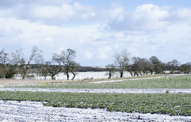
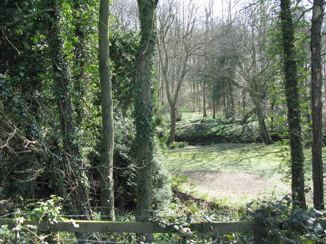
Beacon Hill is a prominent hill located in the county of Northumberland, England. Standing at an elevation of 345 meters (1,132 feet), it is one of the highest points in the region. Situated in the North Pennines Area of Outstanding Natural Beauty, Beacon Hill offers breathtaking panoramic views of the surrounding countryside.
The hill is known for its unique geological features, with exposed Whin Sill rock formations scattered across its slopes. These volcanic rocks, formed around 295 million years ago, contribute to the distinctive landscape of the area. The hill is also home to a diverse range of flora and fauna, including heather, bilberry, and various species of birds and insects.
Beacon Hill holds historical significance as well. In the past, it served as a beacon site, where fires were lit to signal warnings or celebrations. The hill's strategic location made it an ideal spot for communication over vast distances. Today, remnants of the beacon can still be seen, adding to the hill's historical charm.
For outdoor enthusiasts, Beacon Hill offers excellent opportunities for walking, hiking, and nature exploration. Numerous footpaths and trails crisscross the hill, allowing visitors to immerse themselves in its natural beauty. Additionally, the hill is part of the Pennine Way National Trail, a long-distance footpath that stretches across the Pennines.
Overall, Beacon Hill in Northumberland is a captivating destination that combines natural beauty, geological wonders, and historical significance. Whether seeking picturesque views, outdoor adventure, or a glimpse into the region's past, this hill is sure to captivate visitors with its diverse offerings.
If you have any feedback on the listing, please let us know in the comments section below.
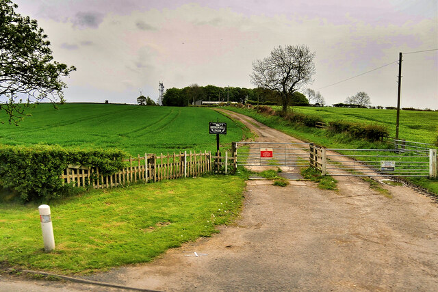
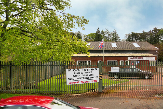
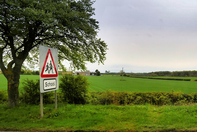
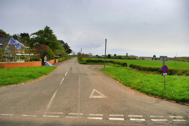
Beacon Hill Images
Images are sourced within 2km of 55.207117/-1.7052839 or Grid Reference NZ1890. Thanks to Geograph Open Source API. All images are credited.


Beacon Hill is located at Grid Ref: NZ1890 (Lat: 55.207117, Lng: -1.7052839)
Unitary Authority: Northumberland
Police Authority: Northumbria
What 3 Words
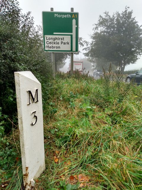
///keepers.shocks.unafraid. Near Hebron, Northumberland
Nearby Locations
Related Wikis
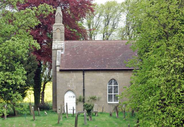
Hebron, Northumberland
Hebron is a village and civil parish 2 miles (3.2 km) north of Morpeth, in the county of Northumberland, England. In 2011 the parish had a population of...
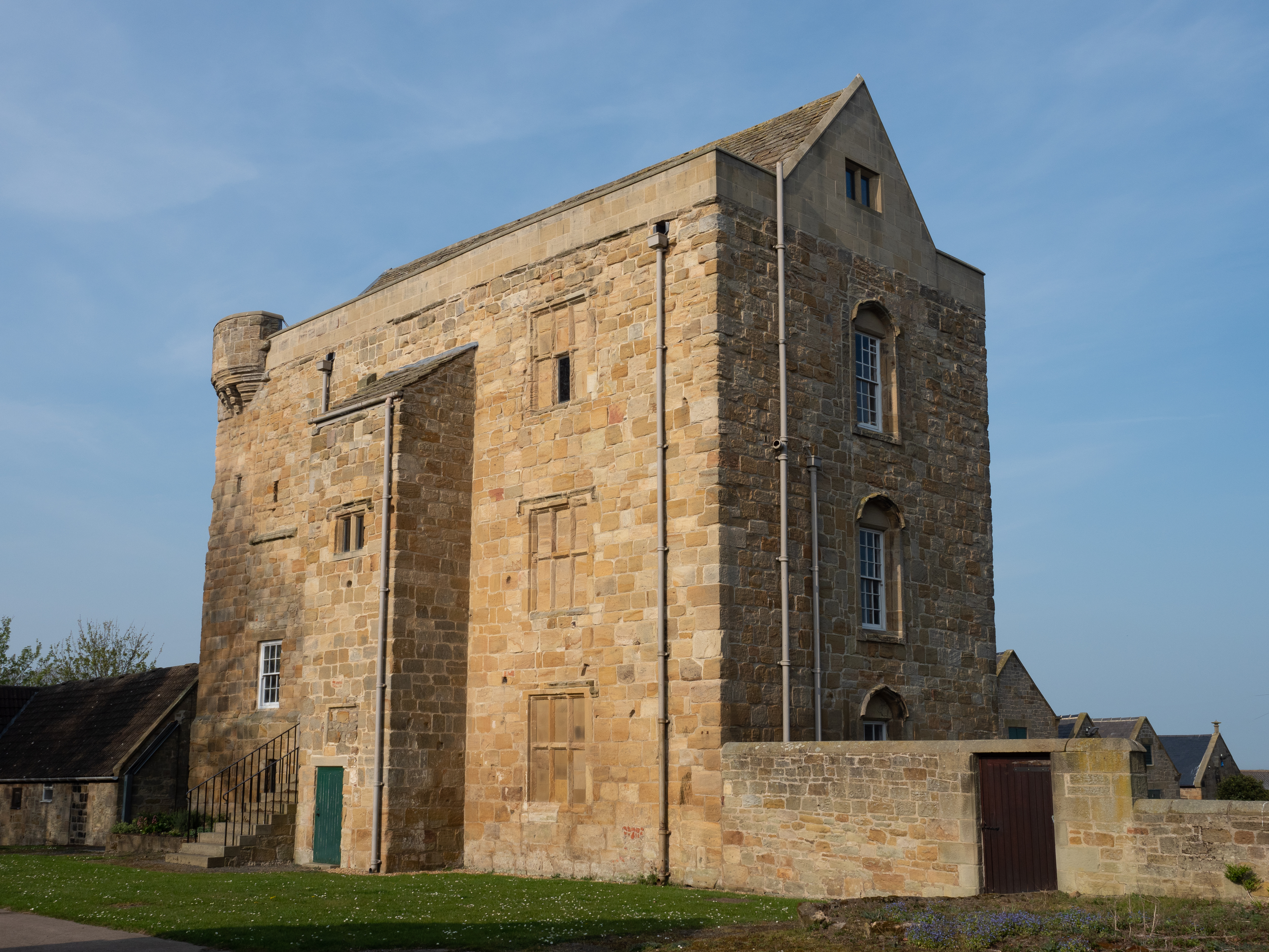
Cockle Park Tower
Cockle Park Tower is a Grade 1 listed building in the hamlet of Cockle Park, Northumberland, England, some 4 miles (6 km) to the north of Morpeth. This...

Tritlington
Tritlington is a hamlet and former civil parish about 4 miles from Morpeth, now in the parish of Tritlington and West Chevington, in the county of Northumberland...
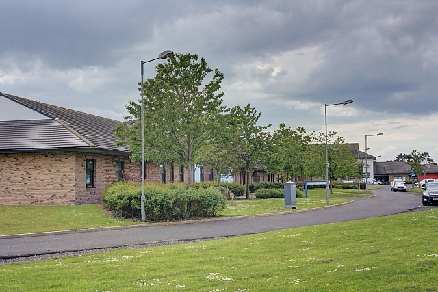
St George's Park, Morpeth
St George's Park is a mental health facility in Morpeth, Northumberland. It is managed by Cumbria, Northumberland, Tyne and Wear NHS Foundation Trust....

The King Edward VI School, Morpeth
King Edward VI School, Morpeth is a voluntary controlled academy high school in Morpeth, Northumberland, England. It was established by a royal charter...

St George's Hospital, Morpeth
St George's Hospital was a mental health facility in Morpeth, Northumberland. == History == The facility was designed by Henry Welch, the County Surveyor...

Longhirst
Longhirst is a village and civil parish in Northumberland, England, located approximately 2.5 miles (4.0 km) northeast of the town of Morpeth. It originally...
Bullers Green
Bullers Green is a part of the town of Morpeth and former civil parish, Northumberland, England. In 1881 the parish had a population of 346. == Governance... ==
Nearby Amenities
Located within 500m of 55.207117,-1.7052839Have you been to Beacon Hill?
Leave your review of Beacon Hill below (or comments, questions and feedback).