Drake Hill

Hill, Mountain in Yorkshire

England

Drake Hill

Horn Lane On the left miles and miles of sheep-grazed grass fields.
Horn Lane Credit: David Lally

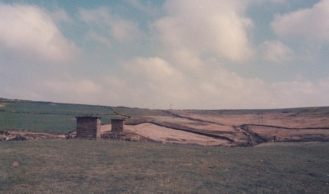
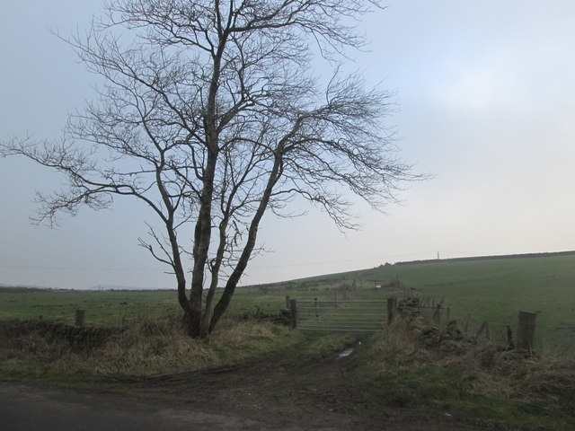
Drake Hill is a prominent hill located in the county of Yorkshire, England. Situated in the beautiful region of North Yorkshire, this hill stands proudly as part of the Pennines, a range of mountains and hills that extend across Northern England. Drake Hill is known for its commanding presence and offers breathtaking views of the surrounding countryside.

Rising to an impressive height of approximately 1,000 feet (305 meters), Drake Hill is a popular destination for hikers, nature enthusiasts, and outdoor adventurers. Its well-defined trails and footpaths make it accessible to both experienced mountaineers and casual walkers.

The hill is characterized by its rugged terrain, with steep slopes and rocky outcrops adding to its charm. Its diverse flora and fauna make it an ideal spot for nature lovers, who can spot various species of birds, small mammals, and indigenous plants during their visit.

Drake Hill is also steeped in local history, with traces of ancient settlements and burial mounds found in the vicinity. Archaeologists have discovered artifacts and remains from various periods, indicating human activity in the area dating back thousands of years.

Accessible from nearby villages and towns, Drake Hill attracts visitors throughout the year, with summer months being particularly popular. Its proximity to other attractions such as quaint villages, historic sites, and natural landmarks makes it an excellent base for exploring the wider Yorkshire region.

In conclusion, Drake Hill is a captivating natural landmark in Yorkshire, offering a combination of stunning vistas, challenging terrain, and rich historical significance. It is a must-visit destination for anyone seeking an immersive outdoor experience in this picturesque part of England.

If you have any feedback on the listing, please let us know in the comments section below.
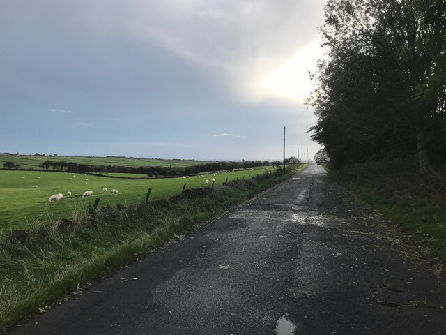
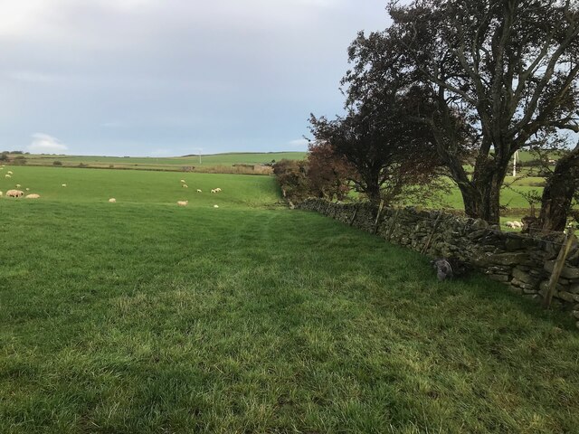
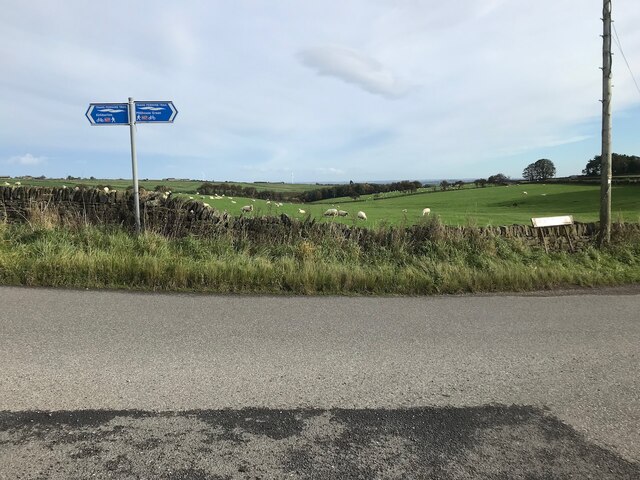
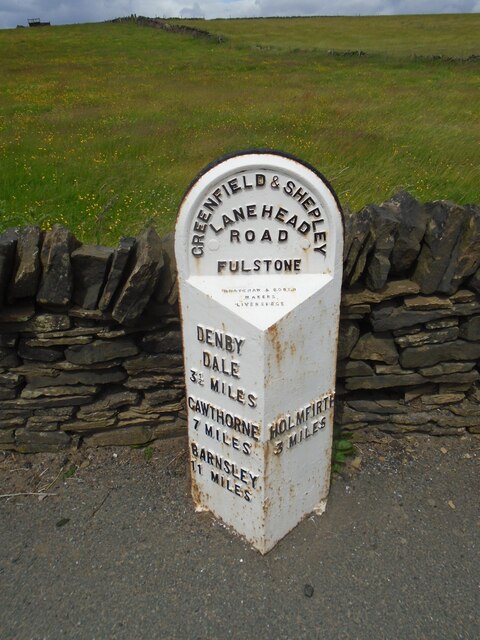
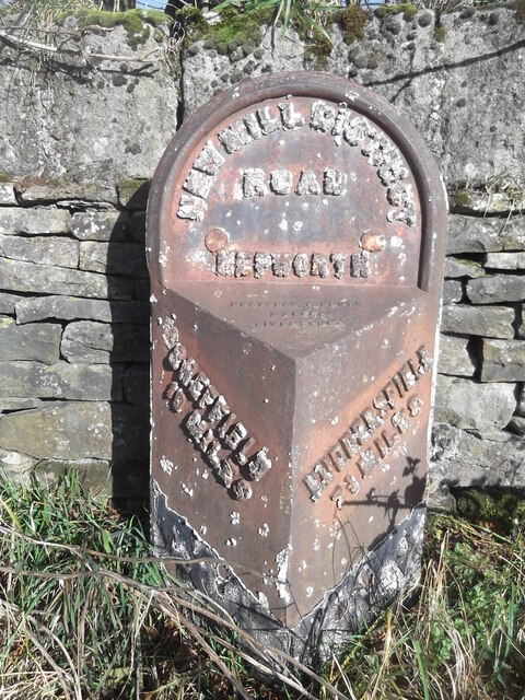
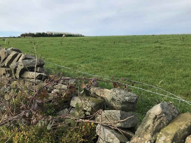
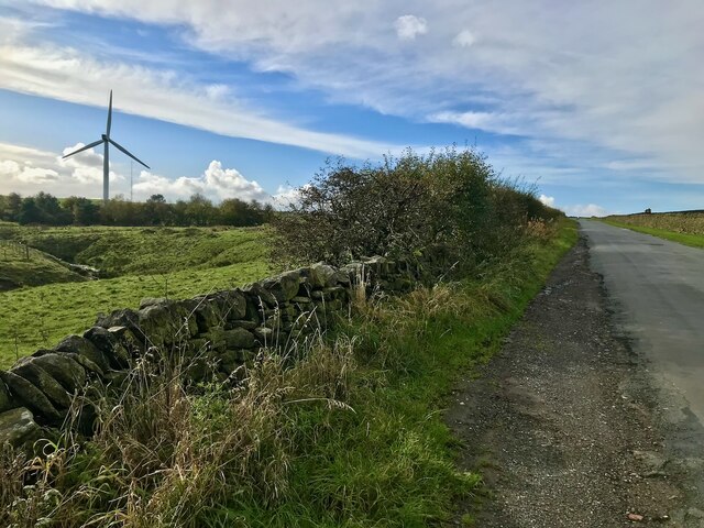
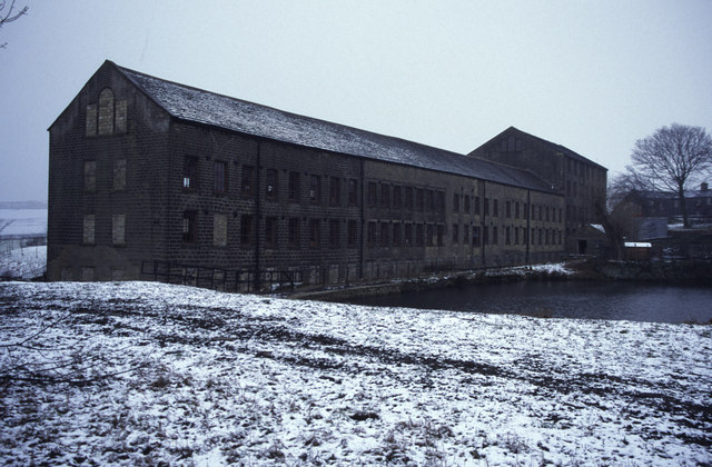
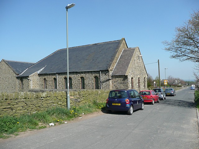
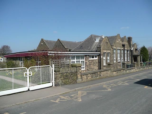
Drake Hill Images

Images are sourced within 2km of 53.55717/-1.7193071 or Grid Reference SE1806. Thanks to Geograph Open Source API. All images are credited.

Horn Lane On the left miles and miles of sheep-grazed grass fields.
Horn Lane
On the left miles and miles of sheep-grazed grass fields.
View toward Broadstone Lodge A public footpath follows the line of this wall
View toward Broadstone Lodge
A public footpath follows the line of this wall
Cycle route signs For The Trans-Pennine Trail and NCN route 627.
Cycle route signs
For The Trans-Pennine Trail and NCN route 627.
Old milestone On the A635 from Shepley Lane Head down into New Mills and Holmfirth is a West Riding CC 19C milestone which is the last in the series east from Greenfield which used to be in Yorkshire.  The tollroad from Greenfield to Shepley Lane Head was first enacted in 1823. The milestone is opposite Gate Foot Lane and a pub.   This used to be the Crossroads PH then renamed Toss 'o Coin now derelict.   This metal attachment has the name of the foundry on the bevel, Brayshaw & Booth/Makers/Liversedge.  The stone is painted black.  Grade II listed 1313617.
Old milestone
On the A635 from Shepley Lane Head down into New Mills and Holmfirth is a West Riding CC 19C milestone which is the last in the series east from Greenfield which used to be in Yorkshire. The tollroad from Greenfield to Shepley Lane Head was first enacted in 1823. The milestone is opposite Gate Foot Lane and a pub. This used to be the Crossroads PH then renamed Toss 'o Coin now derelict. This metal attachment has the name of the foundry on the bevel, Brayshaw & Booth/Makers/Liversedge. The stone is painted black. Grade II listed 1313617.
Old milestone In 2017 this West Riding CC milestone from 1893/94 had lost most of its paint.   It is not known who has painted it but it certainly looks much smarter.   It is nearly opposite Gate Head Lane and Gatehead Methodist Chapel which on the day of this photo was 'SOLD'. After passing the milestone going southwards there is a sharp left bend and a short distance up the road is a tollhouse from the Wadsley and Langsett, Holmfirth District, turnpike first enacted in 1823, closed in 1879.  The milestone is Grade II listed 1191204.
Old milestone
In 2017 this West Riding CC milestone from 1893/94 had lost most of its paint. It is not known who has painted it but it certainly looks much smarter. It is nearly opposite Gate Head Lane and Gatehead Methodist Chapel which on the day of this photo was 'SOLD'. After passing the milestone going southwards there is a sharp left bend and a short distance up the road is a tollhouse from the Wadsley and Langsett, Holmfirth District, turnpike first enacted in 1823, closed in 1879. The milestone is Grade II listed 1191204.
Old milestone The 1893/94 West Riding CC milestone on the A616 in Hepworth becomes more desperate for a repaint as years roll by.   It is on a narrow verge on a sharp bend, Sheffield Road, Hepworth.   Eight milestones were commissioned for the New Mill District of the Sheffield to Huddersfield route, 7 are still in situ.  This one is Grade II listed 1134817.
Old milestone
The 1893/94 West Riding CC milestone on the A616 in Hepworth becomes more desperate for a repaint as years roll by. It is on a narrow verge on a sharp bend, Sheffield Road, Hepworth. Eight milestones were commissioned for the New Mill District of the Sheffield to Huddersfield route, 7 are still in situ. This one is Grade II listed 1134817.
Field at Broadstone Farm
Brown's Edge Lane
Brown's Edge Lane
Broadstone Lodge This modern conversion of original farm buildings sits just inside West Yorkshire's boundary with South Yorkshire. Ingbirchworth Reservoir <a href="https://www.geograph.org.uk/gridref/SE2105">SE2105</a> and <a href="https://www.geograph.org.uk/gridref/SE2106">SE2106</a> lies in the distance.
Broadstone Lodge
This modern conversion of original farm buildings sits just inside West Yorkshire's boundary with South Yorkshire. Ingbirchworth Reservoir SE2105 and SE2106 lies in the distance.
Mill at Birds Edge Early 19th century textile mill and pond.
Mill at Birds Edge
Early 19th century textile mill and pond.
May blossom in June Looking up the footpath to Broadstone Lodge.
May blossom in June
Looking up the footpath to Broadstone Lodge.
Wesleyan Reform Chapel, Birds Edge Lane, Denby
Primary School, Birds Edge, Denby This presumably also serves Upper Cumberworth and the many scattered houses in the surrounding area.
Primary School, Birds Edge, Denby
This presumably also serves Upper Cumberworth and the many scattered houses in the surrounding area.
Broadstones Reservoir Pipeline investigations
Broadstones Reservoir
Pipeline investigations
Inverted siphon The two manholes are the shafts for an inverted siphon crossing Calf Hey Lane
Inverted siphon
The two manholes are the shafts for an inverted siphon crossing Calf Hey Lane
Bridleway towards Maythorn
Isolated building beside Brown's Edge Road
Site of Brown Edge Farm This short lane led to a farm, known until the late 1950s as Brown's Edge Top, later called Brown Edge Farm.   All the buildings have now gone.
Site of Brown Edge Farm
This short lane led to a farm, known until the late 1950s as Brown's Edge Top, later called Brown Edge Farm. All the buildings have now gone.
Show me another place!

Drake Hill is located at Grid Ref: SE1806 (Lat: 53.55717, Lng: -1.7193071)

Division: West Riding

Unitary Authority: Barnsley

Police Authority: South Yorkshire

What 3 Words

///interacts.jumps.appointed. Near Shepley, West Yorkshire

Nearby Locations

Drake Hill

Related Wikis

Barnside

Barnside is a hamlet on Barnside Lane approximately 3/4 mile to the southeast of Hepworth in West Yorkshire, England. It is in the civic parish of Holme...

Birdsedge

Birdsedge (or Birds Edge) is a small village in the borough of Kirklees in West Yorkshire, England, on the edge of Yorkshire's Pennine Hills, standing...

Crow Edge

Crow Edge is a hamlet in Dunford civil parish, situated on the A616, two miles southeast of Hepworth, West Yorkshire in the metropolitan borough of Barnsley...

Hepworth, West Yorkshire

Hepworth is a village and former civil parish, now in the parish of Holme Valley, in the metropolitan borough of Kirklees, in West Yorkshire, England....

Nearby Amenities

Located within 500m of 53.55717,-1.7193071
Give Way
Direction: backward
Lat/Long: 53.5598767/-1.722975
Give Way
Direction: backward
Lit: no
Maxspeed: 60 mph
Sidewalk: no
Lat/Long: 53.5598715/-1.7232735
Generator Method: wind_turbine
Generator Source: wind
Power: generator
Lat/Long: 53.5556886/-1.7151763
Low Common
Place: locality
Lat/Long: 53.5592688/-1.7230831
The data included in this document is from www.openstreetmap.org. The data is made available under ODbL.

Have you been to Drake Hill?

Leave your review of Drake Hill below (or comments, questions and feedback).