Bessy Bell Hill

Hill, Mountain in Durham

England

Bessy Bell Hill

St.Andrew's Church, Stanley, Co. Durham For a tragic story associated with the church see:
<span class="nowrap"><a title="http://www.thisisthenortheast.co.uk/the_north_east/news/campaigns/memorial/pages/160202_1.html" rel="nofollow ugc noopener" href="http://www.thisisthenortheast.co.uk/the_north_east/news/campaigns/memorial/pages/160202_1.html">Link</a><img style="margin-left:2px;" alt="External link" title="External link - shift click to open in new window" src="https://s1.geograph.org.uk/img/external.png" width="10" height="10"/></span>
St.Andrew's Church, Stanley, Co. Durham Credit: Alan Fearon

Bessy Bell Hill, located in Durham, is a prominent landmark in the county of County Durham, England. It is part of the Pennines, a range of hills and mountains that stretch across northern England. Standing at a height of 1,424 feet (434 meters), Bessy Bell Hill offers breathtaking panoramic views of the surrounding countryside.

The hill is renowned for its natural beauty and diverse wildlife, making it a popular destination for nature lovers and hikers. The landscape is characterized by rolling green fields, heather moorland, and rocky outcrops, creating a picturesque setting that attracts visitors throughout the year.

Bessy Bell Hill is steeped in history, with evidence of human activity dating back thousands of years. The hill is home to several ancient monuments, including Bronze Age burial cairns and stone circles, providing a glimpse into the area's rich past. The hill also played a role in local folklore, with tales of witches and supernatural beings associated with its name.

For outdoor enthusiasts, Bessy Bell Hill offers various walking trails and paths, catering to all levels of difficulty. These routes allow visitors to explore the hill's natural wonders and experience the tranquility of the surrounding countryside. The hill is also a popular spot for paragliding, attracting thrill-seekers who wish to soar through the skies and take in the breathtaking views from above.

Overall, Bessy Bell Hill in Durham is a captivating destination that combines natural beauty, historical significance, and recreational opportunities. Whether one seeks a peaceful hike, a glimpse into the past, or simply a place to appreciate the stunning scenery, Bessy Bell Hill offers a truly unforgettable experience.

If you have any feedback on the listing, please let us know in the comments section below.

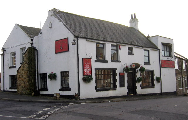
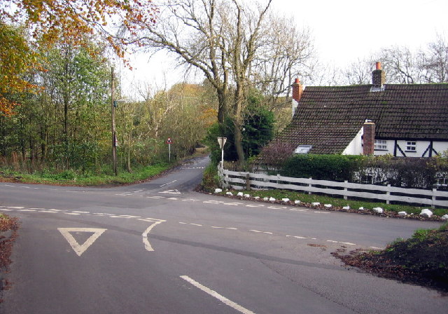
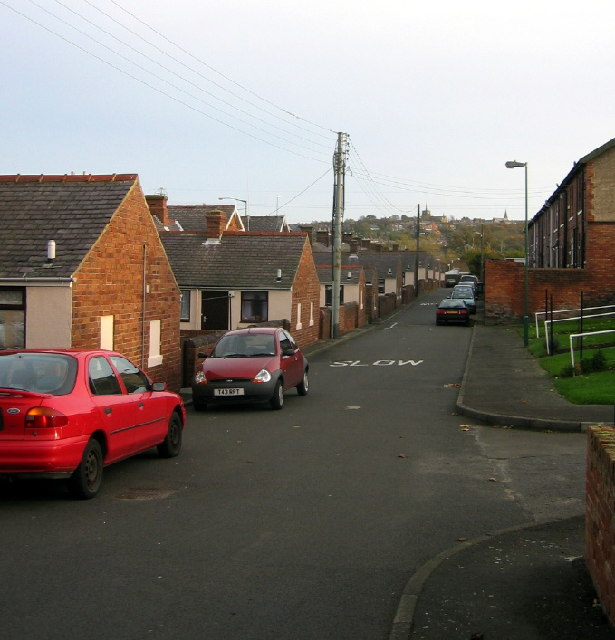
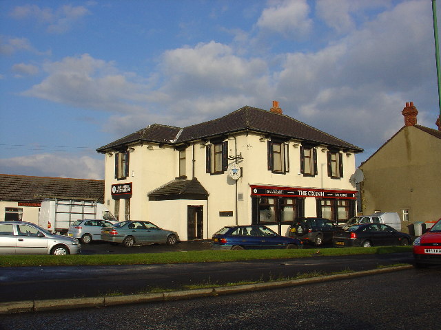
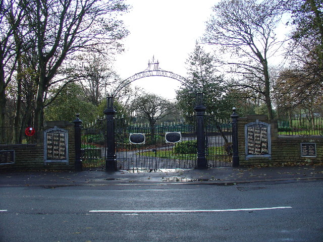
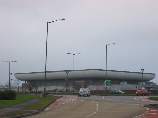
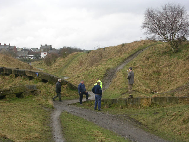
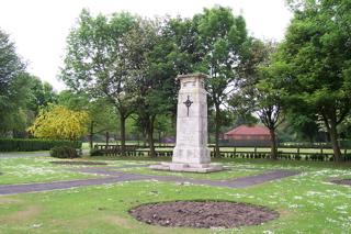
Bessy Bell Hill Images

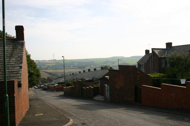
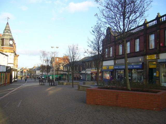
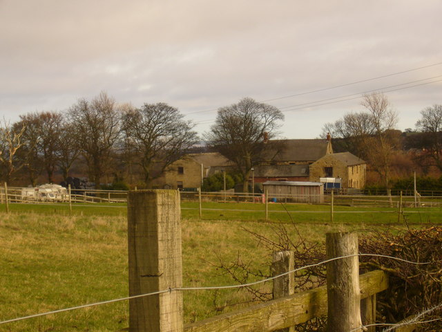
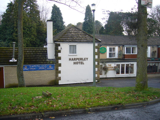
Images are sourced within 2km of 54.865838/-1.7110946 or Grid Reference NZ1852. Thanks to Geograph Open Source API. All images are credited.

St.Andrew's Church, Stanley, Co. Durham For a tragic story associated with the church see:
<span class="nowrap"><a title="http://www.thisisthenortheast.co.uk/the_north_east/news/campaigns/memorial/pages/160202_1.html" rel="nofollow ugc noopener" href="http://www.thisisthenortheast.co.uk/the_north_east/news/campaigns/memorial/pages/160202_1.html">Link</a><img style="margin-left:2px;" alt="External link" title="External link - shift click to open in new window" src="https://s1.geograph.org.uk/img/external.png" width="10" height="10"/></span>
St.Andrew's Church, Stanley, Co. Durham
For a tragic story associated with the church see: LinkExternal link
"Ye Old Earl Grey Inn", West Kyo, Co. Durham The word “kyo” means cows. John Buddle, the famous mining engineer, was born at Kyo in 1774, and later went on to work with the Marquis of Londonderry in the development of Seaham Harbour.
"Ye Old Earl Grey Inn", West Kyo, Co. Durham
The word “kyo” means cows. John Buddle, the famous mining engineer, was born at Kyo in 1774, and later went on to work with the Marquis of Londonderry in the development of Seaham Harbour.
Crossroads at Kyo Heugh, Co.Durham Peter's Bank (Bushblade's Lane) joins Kyo Heugh Lane on the right, Harperley Lane on the left and Kyo Lane straight on.
Crossroads at Kyo Heugh, Co.Durham
Peter's Bank (Bushblade's Lane) joins Kyo Heugh Lane on the right, Harperley Lane on the left and Kyo Lane straight on.
Back street in Tanfield Lea, Co. Durham Handsomely restored (but with the old coal holes still visible) these single storey houses must have looked rather different when the local colliery was open. St. Andrew's, Stanley, can just be seen on the horizon.
Back street in Tanfield Lea, Co. Durham
Handsomely restored (but with the old coal holes still visible) these single storey houses must have looked rather different when the local colliery was open. St. Andrew's, Stanley, can just be seen on the horizon.
Tanfield Lea Methodist Church and Hall Two splendid buildings in  a small village
Tanfield Lea Methodist Church and Hall
Two splendid buildings in a small village
The Ox Inn Oxhill, Stanley
The Ox Inn
Oxhill, Stanley
Quaking Houses Entrance to Quaking Houses, taken from the site of the old pit.
Quaking Houses
Entrance to Quaking Houses, taken from the site of the old pit.
South Moor Park Entrance gates to South Moor Memorial Park.
South Moor Park
Entrance gates to South Moor Memorial Park.
Asda View of one of the large prominent buildings when travelling through Stanley.
Asda
View of one of the large prominent buildings when travelling through Stanley.
"The ravines" at New Kyo "The ravines" are a series of artistic earthworks which form an interesting obstacle on the Consett and Sunderland railway path (part of the C2C Cycle Route)
"The ravines" at New Kyo
"The ravines" are a series of artistic earthworks which form an interesting obstacle on the Consett and Sunderland railway path (part of the C2C Cycle Route)
Annfield Plain War  Memorial War Memorial is located in the Annfield Plain Park. The monument commemorates WW1 and WW2.
Annfield Plain War Memorial
War Memorial is located in the Annfield Plain Park. The monument commemorates WW1 and WW2.
Annfield Plain Intermediate School, New Kyo Girls school upstairs, boys school downstairs. Mr. Horsefield - Headmaster, Chemistry - Mr Dawson, Physics - Mr Boggon, French - Miss Jackson, PT - Mr Langford, History - Mr Graham, English - Miss Hislop.
Annfield Plain Intermediate School, New Kyo
Girls school upstairs, boys school downstairs. Mr. Horsefield - Headmaster, Chemistry - Mr Dawson, Physics - Mr Boggon, French - Miss Jackson, PT - Mr Langford, History - Mr Graham, English - Miss Hislop.
South Stanley, Co. Durham Taken near Tweed Terrace, view to South.
South Stanley, Co. Durham
Taken near Tweed Terrace, view to South.
The Louisa Centre, Stanley Council owned sports and leisure centre
The Louisa Centre, Stanley
Council owned sports and leisure centre
Stanley Front Street looking towards the Imperial Hotel
Chapmans Well Nature Reserve
Stanleyburn farm
Stanleyburn farm
Harperley Hotel
Harperley Hotel
Show me another place!

Bessy Bell Hill is located at Grid Ref: NZ1852 (Lat: 54.865838, Lng: -1.7110946)

Unitary Authority: County Durham

Police Authority: Durham

What 3 Words

///family.jukebox.retailing. Near Stanley, Co. Durham

Related Wikis

Oxhill, County Durham

Oxhill is a small village in County Durham, in England. It is located to the west of Stanley, on the bottom of the hill which leads up to New Kyo and Annfield...

South Moor

South Moor is a village in County Durham, in England. It is located to the south-west of Stanley on the northern slope of the Craghead valley. It is a...

New Kyo

New Kyo is a village in County Durham, in England. It is situated close to the A693 road between Annfield Plain and Stanley, and is slightly larger than...

East Kyo

East Kyo is a small hamlet in County Durham, England. It is situated a short distance to the west of Stanley, close to Annfield Plain, West Kyo (15 minutes...

Nearby Amenities

Located within 500m of 54.865838,-1.7110946
Oxhill
Place: hamlet
Source: npe
Wikidata: Q7115620
Wikipedia: en:Oxhill, County Durham
Lat/Long: 54.8638144/-1.7090229
Traffic Signals
Traffic Signals Direction: both
Lat/Long: 54.866397/-1.7075732
Noexit: yes
Lat/Long: 54.8646708/-1.7152399
Historic: mine
Mineral: coal
Source: NPE
Lat/Long: 54.867603/-1.7055157
Bus Stop
Rydal Avenue
Bus: yes
Naptan AtcoCode: 13001284A
Naptan Bearing: N
Naptan CommonName: Rydal Avenue
Naptan Indicator: north bound
Naptan Landmark: Landmark not known
Naptan NaptanCode: duradmdj
Naptan Notes: 195 Park Road- Stanley
Naptan Street: B6313 - Park Road
Naptan Verified: no
Public Transport: platform
Source: naptan_import
Lat/Long: 54.8625703/-1.7063267
Bus Stop
Park Road
Naptan AtcoCode: 13001285A
Naptan Bearing: N
Naptan CommonName: Park Road
Naptan Indicator: north bound
Naptan Landmark: Landmark not known
Naptan NaptanCode: duradmdp
Naptan Notes: 111-113 Park Road- Stanley
Naptan Street: B6313 - Park Road
Naptan Verified: no
Source: naptan_import
Lat/Long: 54.8640184/-1.7068303
Bus Stop
Park Road
Bench: no
Bin: no
Bus: yes
Departures Board: timetable
Naptan AtcoCode: 13001285E
Naptan Bearing: S
Naptan CommonName: Park Road
Naptan Indicator: south bound
Naptan Landmark: Landmark not known
Naptan NaptanCode: duradmdt
Naptan Notes: 96 Park Road- Stanley
Naptan Street: B6313 - Park Road
Naptan Verified: no
Public Transport: platform
Shelter: no
Source: naptan_import
Lat/Long: 54.8635144/-1.7065068
Bus Stop
Arch-Park Road
Naptan AtcoCode: 13001286A
Naptan Bearing: N
Naptan CommonName: Arch (Park Road)
Naptan Indicator: north bound
Naptan Landmark: Landmark not known
Naptan NaptanCode: duradmdw
Naptan Notes: 7 Park Road- Stanley
Naptan Street: B6313 - Park Road
Naptan Verified: no
Source: naptan_import
Lat/Long: 54.8657812/-1.7074096
Bus Stop
Arch-Park Road
Bench: yes
Bin: yes
Bus: yes
Naptan AtcoCode: 13001286E
Naptan Bearing: S
Naptan CommonName: Arch (Park Road)
Naptan Indicator: south bound
Naptan Landmark: Landmark not known
Naptan NaptanCode: duradmga
Naptan Notes: Opposite 27 Park Road- Stanley
Naptan Street: B6313 - Park Road
Naptan Verified: no
Public Transport: platform
Shelter: yes
Source: naptan_import
Lat/Long: 54.8654031/-1.7071475
Bus Stop
Oxhill crossings
Bench: no
Bus: yes
Departures Board: timetable
Naptan AtcoCode: 13001460B
Naptan Bearing: NE
Naptan CommonName: Oxhill crossings
Naptan Indicator: north east bound
Naptan Landmark: Landmark not known
Naptan NaptanCode: duradtma
Naptan Notes: Opposite 66 Eden Terrace- Stanley
Naptan Street: A693
Naptan Verified: no
Public Transport: platform
Shelter: yes
Source: naptan_import
Lat/Long: 54.8651755/-1.7134748
Bus Stop
Oxhill crossings
Bus: yes
Departures Board: timetable
Naptan AtcoCode: 13001460F
Naptan Bearing: SW
Naptan CommonName: Oxhill crossings
Naptan Indicator: south west bound
Naptan Landmark: Landmark not known
Naptan NaptanCode: duradtmd
Naptan Notes: Between Eden Terrace and Lintz Terrace- Stanley
Naptan Street: A693
Naptan Verified: no
Public Transport: platform
Shelter: yes
Source: naptan_import
Lat/Long: 54.8646838/-1.7145534
Bus Stop
Arch (Eden Terrace)
Bench: yes
Bin: no
Bus: yes
Departures Board: timetable
Naptan AtcoCode: 13001612B
Naptan Bearing: NE
Naptan CommonName: Arch (Eden Terrace)
Naptan Indicator: north east bound
Naptan Landmark: Landmark not known
Naptan NaptanCode: duragpwg
Naptan Notes: opposite 6 eden terrace- stanley
Naptan Street: A693
Naptan Verified: no
Public Transport: platform
Shelter: yes
Source: naptan_import
Lat/Long: 54.8662736/-1.7085885
Bus Stop
Arch (Eden Terrace)
Bench: yes
Bus: yes
Departures Board: timetable
Naptan AtcoCode: 13001612F
Naptan Bearing: SW
Naptan CommonName: Arch (Eden Terrace)
Naptan Indicator: south west bound
Naptan Landmark: Landmark not known
Naptan NaptanCode: duragpwj
Naptan Notes: Between 8 and 13 Eden Terrace- Stanley
Naptan Street: A693
Naptan Verified: no
Public Transport: platform
Shelter: yes
Source: naptan_import
Lat/Long: 54.865992/-1.7091376
Noexit: yes
Lat/Long: 54.8686948/-1.7062589
Noexit: yes
Lat/Long: 54.8683378/-1.705189
Noexit: yes
Lat/Long: 54.867824/-1.7058198
Noexit: yes
Lat/Long: 54.8679175/-1.7083177
Noexit: yes
Lat/Long: 54.8684432/-1.7082284
Noexit: yes
Lat/Long: 54.8674779/-1.7077479
Noexit: yes
Lat/Long: 54.8663803/-1.7091048
Noexit: yes
Lat/Long: 54.866064/-1.704936
Power: pole
Lat/Long: 54.8638348/-1.7134707
Power: pole
Lat/Long: 54.8682076/-1.7151888
Power: pole
Lat/Long: 54.867351/-1.7159592
Power: pole
Lat/Long: 54.8672748/-1.7153909
Power: pole
Lat/Long: 54.8682744/-1.7159027
Power: pole
Lat/Long: 54.8669437/-1.7152109
Power: pole
Lat/Long: 54.8663621/-1.7149244
Power: pole
Lat/Long: 54.869752/-1.7127088
Power: pole
Lat/Long: 54.8627678/-1.7125934
Power: pole
Lat/Long: 54.8662888/-1.7160826
Power: pole
Lat/Long: 54.8648639/-1.7162211
Power: pole
Lat/Long: 54.8644061/-1.7139466
Power: pole
Lat/Long: 54.8694023/-1.712311
Power: pole
Lat/Long: 54.8687898/-1.7138159
Power: pole
Lat/Long: 54.8617142/-1.7118438
Power: pole
Lat/Long: 54.8627244/-1.7128135
Power: pole
Lat/Long: 54.8642226/-1.7140706
Noexit: yes
Lat/Long: 54.8654165/-1.7067612
Noexit: yes
Lat/Long: 54.8642686/-1.7056338
Noexit: yes
Lat/Long: 54.8662065/-1.7103369
Crossing
Crossing: unmarked
Crossing Island: yes
Crossing Markings: no
Lat/Long: 54.864889/-1.7142697
Addr Housenumber: 65
Addr Street: Eden Terrace
Lat/Long: 54.8650162/-1.7133868
Addr Housenumber: 64
Addr Street: Eden Terrace
Lat/Long: 54.8650381/-1.713304
Noexit: yes
Lat/Long: 54.8647778/-1.7137507
Addr Housenumber: 70
Addr Street: Eden Terrace
Lat/Long: 54.8649149/-1.7136987
Addr Housenumber: 72
Addr Street: Eden Terrace
Lat/Long: 54.8648517/-1.7139467
Addr Housenumber: 67
Addr Street: Eden Terrace
Lat/Long: 54.8649871/-1.7134965
Addr Housenumber: 42
Addr Street: Eden Terrace
Lat/Long: 54.8653741/-1.7120366
Addr Housenumber: 71
Addr Street: Eden Terrace
Lat/Long: 54.8648833/-1.7138227
Noexit: yes
Lat/Long: 54.8660587/-1.7063246
Noexit: yes
Lat/Long: 54.8654204/-1.7043389
Generator Method: photovoltaic
Generator Orientation: 170
Generator Output Electricity: yes
Generator Solar Modules: 14
Generator Source: solar
Generator Type: solar_photovoltaic_panel
Location: roof
Power: generator
Lat/Long: 54.8671588/-1.7070596
Generator Method: photovoltaic
Generator Orientation: 170
Generator Output Electricity: yes
Generator Solar Modules: 2
Generator Source: solar
Generator Type: solar_photovoltaic_panel
Location: roof
Power: generator
Lat/Long: 54.867222/-1.7066948
Generator Method: photovoltaic
Generator Orientation: 170
Generator Output Electricity: yes
Generator Solar Modules: 12
Generator Source: solar
Generator Type: solar_photovoltaic_panel
Location: roof
Power: generator
Lat/Long: 54.8672575/-1.7065124
Generator Method: photovoltaic
Generator Orientation: 170
Generator Output Electricity: yes
Generator Solar Modules: 18
Generator Source: solar
Generator Type: solar_photovoltaic_panel
Location: roof
Power: generator
Lat/Long: 54.8672699/-1.7064132
Generator Method: photovoltaic
Generator Orientation: 170
Generator Output Electricity: yes
Generator Solar Modules: 16
Generator Source: solar
Generator Type: solar_photovoltaic_panel
Location: roof
Power: generator
Lat/Long: 54.8677422/-1.7069416
Generator Method: photovoltaic
Generator Orientation: 170
Generator Output Electricity: yes
Generator Solar Modules: 15
Generator Source: solar
Generator Type: solar_photovoltaic_panel
Location: roof
Power: generator
Lat/Long: 54.8679398/-1.707293
Generator Method: photovoltaic
Generator Orientation: 260
Generator Output Electricity: yes
Generator Solar Modules: 5
Generator Source: solar
Generator Type: solar_photovoltaic_panel
Location: roof
Power: generator
Lat/Long: 54.8679892/-1.7070274
Generator Method: photovoltaic
Generator Orientation: 80
Generator Output Electricity: yes
Generator Solar Modules: 10
Generator Source: solar
Generator Type: solar_photovoltaic_panel
Location: roof
Power: generator
Lat/Long: 54.8680015/-1.7069657
Generator Method: photovoltaic
Generator Orientation: 260
Generator Output Electricity: yes
Generator Solar Modules: 10
Generator Source: solar
Generator Type: solar_photovoltaic_panel
Location: roof
Power: generator
Lat/Long: 54.8687115/-1.7070623
Generator Method: photovoltaic
Generator Orientation: 260
Generator Output Electricity: yes
Generator Solar Modules: 13
Generator Source: solar
Generator Type: solar_photovoltaic_panel
Location: roof
Power: generator
Lat/Long: 54.8690249/-1.7058955
Generator Method: photovoltaic
Generator Orientation: 260
Generator Output Electricity: yes
Generator Solar Modules: 8
Generator Source: solar
Generator Type: solar_photovoltaic_panel
Location: roof
Power: generator
Lat/Long: 54.868994/-1.7058258
Generator Method: photovoltaic
Generator Orientation: 80
Generator Output Electricity: yes
Generator Solar Modules: 7
Generator Source: solar
Generator Type: solar_photovoltaic_panel
Location: roof
Power: generator
Lat/Long: 54.8690094/-1.705748
Generator Method: photovoltaic
Generator Orientation: 260
Generator Output Electricity: yes
Generator Solar Modules: 8
Generator Source: solar
Generator Type: solar_photovoltaic_panel
Location: roof
Power: generator
Lat/Long: 54.8686236/-1.7052277
Generator Method: photovoltaic
Generator Orientation: 80
Generator Output Electricity: yes
Generator Solar Modules: 6
Generator Source: solar
Generator Type: solar_photovoltaic_panel
Location: roof
Power: generator
Lat/Long: 54.8686405/-1.705174
Generator Method: photovoltaic
Generator Orientation: 170
Generator Output Electricity: yes
Generator Solar Modules: 16
Generator Source: solar
Generator Type: solar_photovoltaic_panel
Location: roof
Power: generator
Lat/Long: 54.8670393/-1.7062195
Generator Method: photovoltaic
Generator Orientation: 160
Generator Output Electricity: yes
Generator Solar Modules: 14
Generator Source: solar
Generator Type: solar_photovoltaic_panel
Location: roof
Power: generator
Lat/Long: 54.8641952/-1.7163637
Noexit: yes
Lat/Long: 54.8614081/-1.7117684
Noexit: yes
Lat/Long: 54.8616898/-1.7120044
Noexit: yes
Lat/Long: 54.8627558/-1.7118958
Noexit: yes
Lat/Long: 54.8624818/-1.7116611
Power: pole
Lat/Long: 54.8698975/-1.7111497
Power: pole
Lat/Long: 54.8690073/-1.7143151
Power: pole
Lat/Long: 54.86545/-1.7144685
Power: pole
Lat/Long: 54.863753/-1.7136766
Give Way
Direction: forward
Lat/Long: 54.86352/-1.7169123
Noexit: yes
Lat/Long: 54.8662463/-1.709739
Noexit: yes
Lat/Long: 54.8661964/-1.7099926
Noexit: yes
Lat/Long: 54.8679501/-1.704899
Generator Method: photovoltaic
Generator Source: solar
Generator Type: solar_photovoltaic_panel
Location: roof
Power: generator
Lat/Long: 54.8660205/-1.7067342
Generator Method: photovoltaic
Generator Source: solar
Generator Type: solar_photovoltaic_panel
Location: roof
Power: generator
Lat/Long: 54.8647195/-1.7154404
Generator Method: photovoltaic
Generator Source: solar
Generator Type: solar_photovoltaic_panel
Location: roof
Power: generator
Lat/Long: 54.865213/-1.707289
Generator Method: photovoltaic
Generator Source: solar
Generator Type: solar_photovoltaic_panel
Location: roof
Power: generator
Lat/Long: 54.8650428/-1.7072632
Generator Method: photovoltaic
Generator Source: solar
Generator Type: solar_photovoltaic_panel
Location: roof
Power: generator
Lat/Long: 54.866162/-1.703826
Generator Method: photovoltaic
Generator Source: solar
Generator Type: solar_photovoltaic_panel
Location: roof
Power: generator
Lat/Long: 54.8661503/-1.7039413
Generator Method: photovoltaic
Generator Source: solar
Generator Type: solar_photovoltaic_panel
Location: roof
Power: generator
Lat/Long: 54.8661346/-1.7040498
Generator Method: photovoltaic
Generator Source: solar
Generator Type: solar_photovoltaic_panel
Location: roof
Power: generator
Lat/Long: 54.86576/-1.7053723
Generator Method: photovoltaic
Generator Source: solar
Generator Type: solar_photovoltaic_panel
Location: roof
Power: generator
Lat/Long: 54.8657404/-1.7054638
Generator Method: photovoltaic
Generator Source: solar
Generator Type: solar_photovoltaic_panel
Location: roof
Power: generator
Lat/Long: 54.8657268/-1.7055825
Generator Method: photovoltaic
Generator Source: solar
Generator Type: solar_photovoltaic_panel
Location: roof
Power: generator
Lat/Long: 54.8664/-1.7047653
Generator Method: photovoltaic
Generator Orientation: 170
Generator Output Electricity: yes
Generator Solar Modules: 16
Generator Source: solar
Generator Type: solar_photovoltaic_panel
Location: roof
Power: generator
Lat/Long: 54.8628044/-1.7101939
Crossing
Crossing: unmarked
Crossing Island: yes
Crossing Markings: no
Tactile Paving: yes
Lat/Long: 54.8655902/-1.711608
Crossing
Crossing: unmarked
Crossing Island: yes
Lat/Long: 54.8631862/-1.7171235
The data included in this document is from www.openstreetmap.org. The data is made available under ODbL.

Have you been to Bessy Bell Hill?

Leave your review of Bessy Bell Hill below (or comments, questions and feedback).