Beacon Hill

Hill, Mountain in Northumberland

England

Beacon Hill

Elmfield Terrace
Elmfield Terrace Credit: David Dixon

Beacon Hill is a prominent landmark located in the county of Northumberland, England. With an elevation of 345 meters (1,132 feet), it is classified as a hill rather than a mountain. The hill is situated within the Northumberland National Park, which spans an area of 1,049 square kilometers (405 square miles) of breathtaking natural beauty.

The summit of Beacon Hill offers stunning panoramic views of the surrounding countryside, including the Cheviot Hills to the west and the North Sea to the east. On clear days, it is even possible to see as far as the Scottish Borders. The hill is easily accessible via footpaths and trails, making it a popular destination for hikers and nature enthusiasts.

One of the notable features of Beacon Hill is the presence of an ancient beacon mound, which gives the hill its name. In the past, beacons were lit on such mounds to warn of approaching danger or to communicate important messages over long distances. The exact origins of the mound are unclear, but it is believed to have historical significance, possibly dating back to medieval times.

Beacon Hill is also home to a diverse range of flora and fauna, with heather, gorse, and grasses dominating the landscape. The hill provides habitat for various bird species, including skylarks and meadow pipits, as well as small mammals like rabbits and voles.

Overall, Beacon Hill is an exceptional natural landmark, offering breathtaking views, historical intrigue, and abundant wildlife. It continues to captivate visitors and locals alike, showcasing the beauty and diversity of Northumberland's countryside.

If you have any feedback on the listing, please let us know in the comments section below.
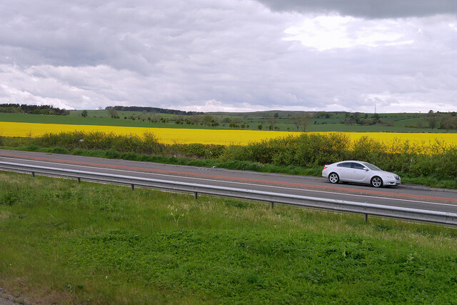
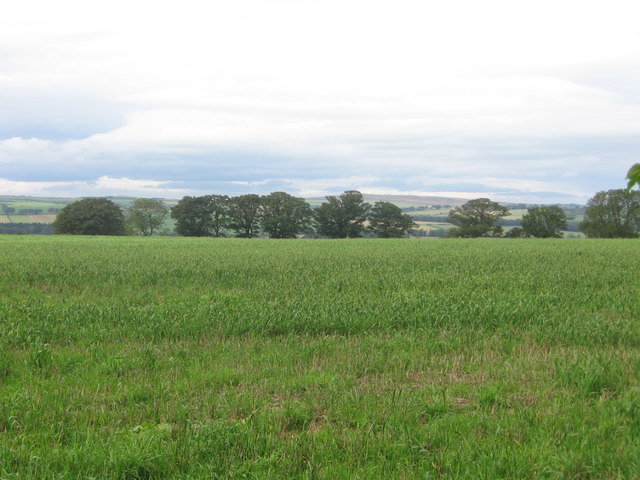
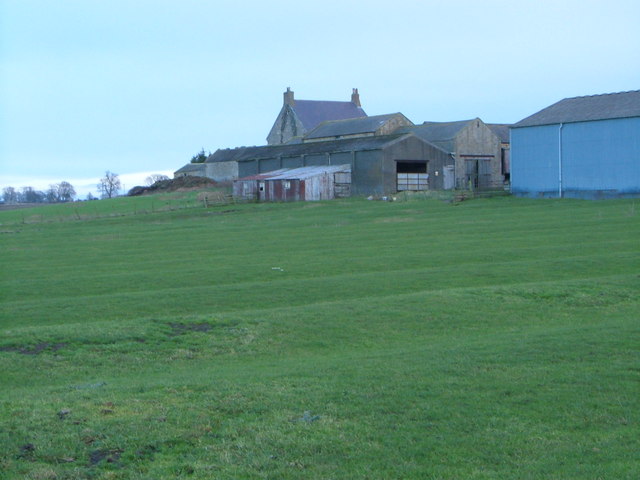
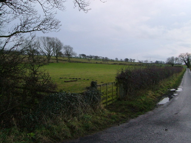
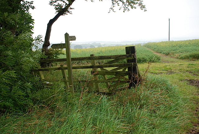
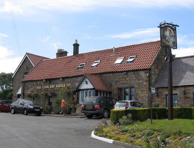
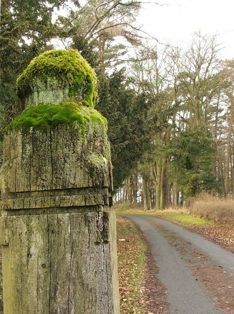
Beacon Hill Images

Images are sourced within 2km of 55.364159/-1.7080472 or Grid Reference NU1807. Thanks to Geograph Open Source API. All images are credited.

Elmfield Terrace
Elmfield Terrace
Road towards Newton on The Moor from the A1
Road towards Shilbottle
Layby on the A1 south of Alnwick The A1 is the longest numbered road in the UK at 410 miles long. It connects London with Edinburgh, via the east of England. 
For much of its path it follows the Great North Road the old coaching route between London and Edinburgh. Several sections of the route are classified as motorway A1(M). The modern A1 bypasses the towns the Great North Road passed through and is dual carriageway for most of its route through England.
Layby on the A1 south of Alnwick
The A1 is the longest numbered road in the UK at 410 miles long. It connects London with Edinburgh, via the east of England. For much of its path it follows the Great North Road the old coaching route between London and Edinburgh. Several sections of the route are classified as motorway A1(M). The modern A1 bypasses the towns the Great North Road passed through and is dual carriageway for most of its route through England.
Road Junction on the A1 near Shilbottle The road towards Whittingham.
Road Junction on the A1 near Shilbottle
The road towards Whittingham.
Public Weighbridge on the A1 near Shilbottle The A1 is the longest numbered road in the UK at 410 miles long. It connects London with Edinburgh, via the east of England. 
For much of its path it follows the Great North Road the old coaching route between London and Edinburgh. Several sections of the route are classified as motorway A1(M). The modern A1 bypasses the towns the Great North Road passed through and is dual carriageway for most of its route through England.
Public Weighbridge on the A1 near Shilbottle
The A1 is the longest numbered road in the UK at 410 miles long. It connects London with Edinburgh, via the east of England. For much of its path it follows the Great North Road the old coaching route between London and Edinburgh. Several sections of the route are classified as motorway A1(M). The modern A1 bypasses the towns the Great North Road passed through and is dual carriageway for most of its route through England.
Hampeth A row seen across arable land.
Hampeth
A row seen across arable land.
Yellow road, Whittle
Wheat field, Deanmoor
Deanmoor Heading south on the A1 (not driving)
Deanmoor
Heading south on the A1 (not driving)
Hazon High Houses The road in the foreground is the A1.  Photograph taken from Newton On The Moor.
Hazon High Houses
The road in the foreground is the A1. Photograph taken from Newton On The Moor.
Beacon Road, Hampeth Pit houses for the now redundant Whittle Colliery.
Beacon Road, Hampeth
Pit houses for the now redundant Whittle Colliery.
Shilbotel Church
Shilbotel Church
Beacon Hill Summit sown with wheat
Beacon Hill
Summit sown with wheat
Lane approaching A1 The lane from Rugley heads across flat land past wind-shaped trees to meet the A1 at Deansmoor.
Lane approaching A1
The lane from Rugley heads across flat land past wind-shaped trees to meet the A1 at Deansmoor.
Colliery Farm There were once six coal shafts operating in this area of Shilbottle, but the ridge and furrow field has survived any landscape changes. Taken from the bridleway from West Cawledge Park.
Colliery Farm
There were once six coal shafts operating in this area of Shilbottle, but the ridge and furrow field has survived any landscape changes. Taken from the bridleway from West Cawledge Park.
Field beside Deanmoor Road From the junction near Colliery Farm; the lane is heading to join the A1 at Deanmoor.
Field beside Deanmoor Road
From the junction near Colliery Farm; the lane is heading to join the A1 at Deanmoor.
Track through the oilseed rape field The track heads north to West Cawledge Park.
Track through the oilseed rape field
The track heads north to West Cawledge Park.
Show me another place!

Beacon Hill is located at Grid Ref: NU1807 (Lat: 55.364159, Lng: -1.7080472)

Unitary Authority: Northumberland

Police Authority: Northumbria

What 3 Words

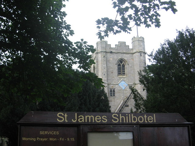
///station.visa.protected. Near Shilbottle, Northumberland

Nearby Locations

Beacon Hill

Related Wikis

Shilbottle

Shilbottle is a village in Northumberland, north-east England, 3 miles (4.8 km) south-east of Alnwick, and 5 miles (8 km) from the coast at Alnmouth, close...

Newton on the Moor

Newton on the Moor is a village and former civil parish in Northumberland, England. It is located 5 miles (8 km) south of Alnwick, on the old route of...

Bilton Banks, Northumberland

Bilton Banks was a village in Northumberland adjacent to the coal mines of Shilbottle and Longdyke. It was home to many miners’ families from the late...

Newton Hall, Northumberland

Newton Hall is an 18th-century country house at Newton on the Moor, near Alnwick, Northumberland, England. It is a Grade II listed building. == History... ==

Nearby Amenities

Located within 500m of 55.364159,-1.7080472
Power: pole
Source: Bing
Lat/Long: 55.363539/-1.7066125
Power: pole
Source: Bing
Lat/Long: 55.3642309/-1.7057702
Power: pole
Source: Bing
Lat/Long: 55.3663692/-1.7030898
Power: pole
Source: Bing
Lat/Long: 55.3649437/-1.7049402
Power: pole
Source: Bing
Lat/Long: 55.3628332/-1.7074486
Power: pole
Source: Bing
Lat/Long: 55.365653/-1.7040365
Power: pole
Lat/Long: 55.3670505/-1.7021691
Power: pole
Lat/Long: 55.3607602/-1.7099826
Power: pole
Lat/Long: 55.3614586/-1.7091348
Power: pole
Lat/Long: 55.3621419/-1.7083047
Power: pole
Lat/Long: 55.3601191/-1.7107912
Beacon Hill
Place: locality
Lat/Long: 55.3649379/-1.7082706
The data included in this document is from www.openstreetmap.org. The data is made available under ODbL.

Have you been to Beacon Hill?

Leave your review of Beacon Hill below (or comments, questions and feedback).