Gallows Hill

Hill, Mountain in Yorkshire Harrogate

England

Gallows Hill

Arl Cafe and Waste Not, Main Street, Burley-in-Wharfedale
Arl Cafe and Waste Not, Main Street, Burley-in-Wharfedale Credit: habiloid

Gallows Hill, located in Yorkshire, is an iconic hill known for its historical significance and breathtaking natural beauty. Rising to an elevation of approximately 300 meters, the hill is situated on the outskirts of a picturesque village, surrounded by lush greenery and offering panoramic views of the countryside.

The name Gallows Hill originates from its dark history as a site for public executions during the medieval period. It served as a place of punishment for criminals, where they met their unfortunate fate at the hands of the hangman. Today, remnants of the gallows are long gone, but the name and the somber atmosphere still linger, adding a mysterious allure to the hill.

A popular destination for hikers and nature enthusiasts, Gallows Hill offers a variety of well-maintained trails that wind through its slopes. These trails cater to all skill levels, providing options for relaxed walks or more challenging hikes. Along the way, visitors can appreciate the diverse flora and fauna, including ancient oak trees, vibrant wildflowers, and various bird species.

At the summit of Gallows Hill, visitors are rewarded with breathtaking views of the surrounding landscape. On clear days, one can see the rolling hills and meandering rivers that characterize the Yorkshire countryside. The hilltop also offers an ideal spot for picnics or simply basking in the tranquil atmosphere.

Gallows Hill is not only a place of historical significance but also a natural gem that showcases the beauty of Yorkshire. Its blend of history, nature, and awe-inspiring vistas make it a must-visit destination for those seeking both adventure and a glimpse into the past.

If you have any feedback on the listing, please let us know in the comments section below.
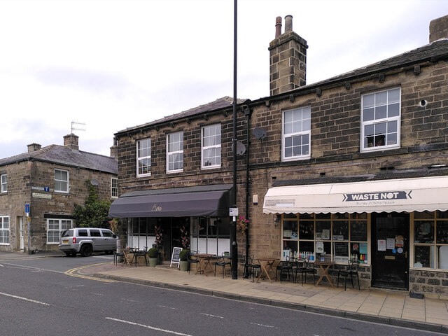
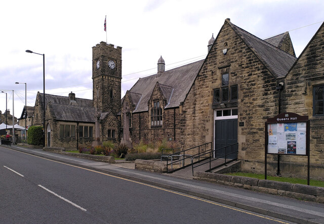
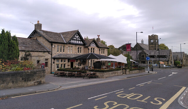
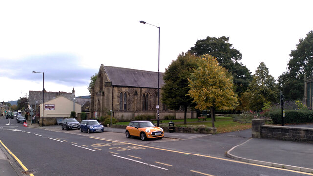
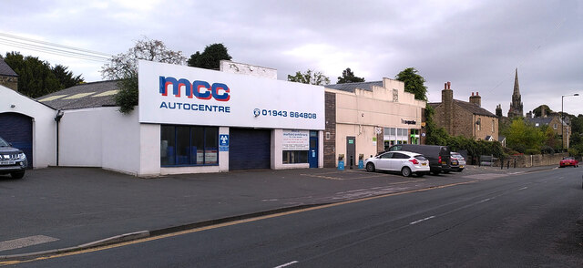
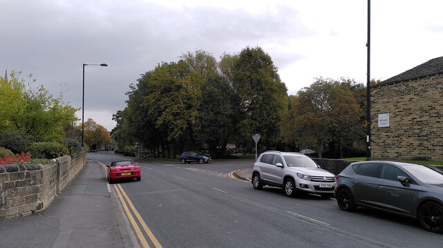
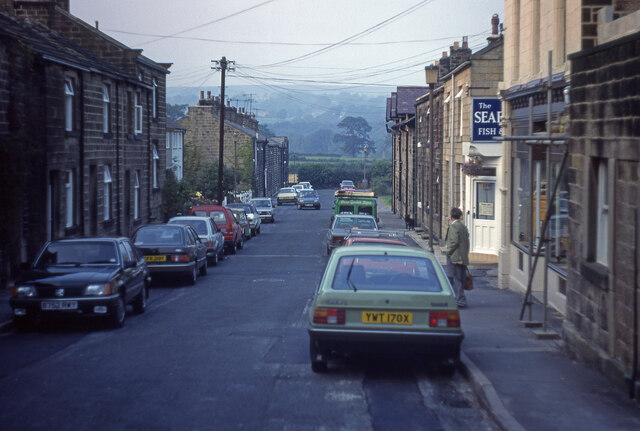
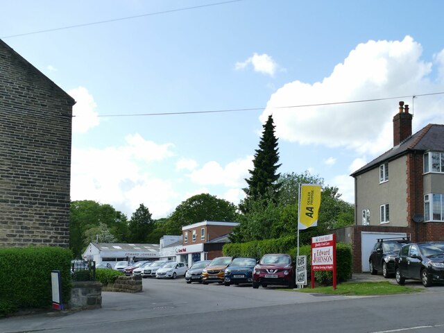
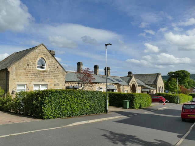
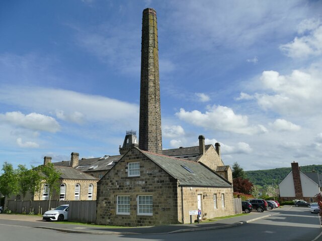
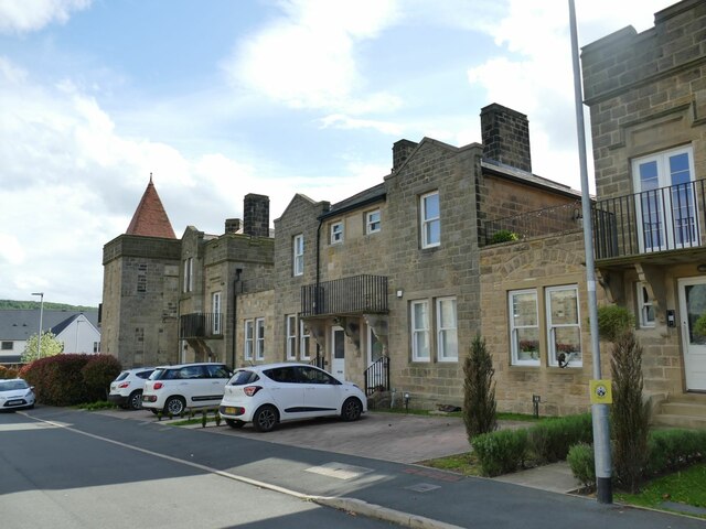
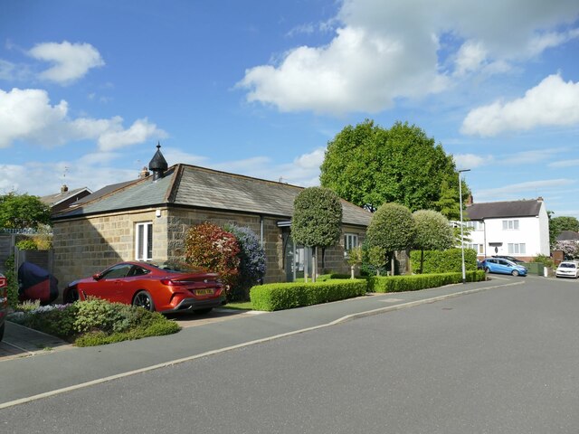
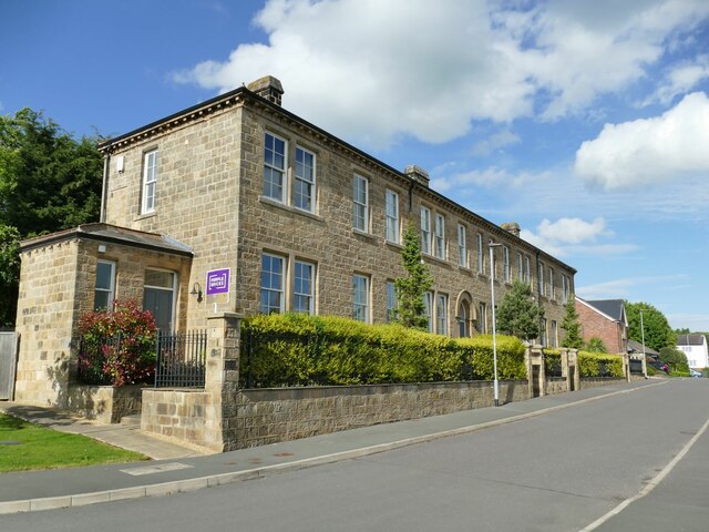
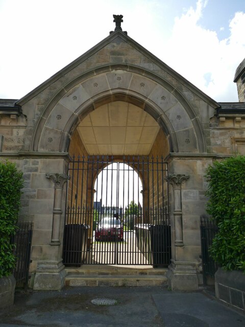
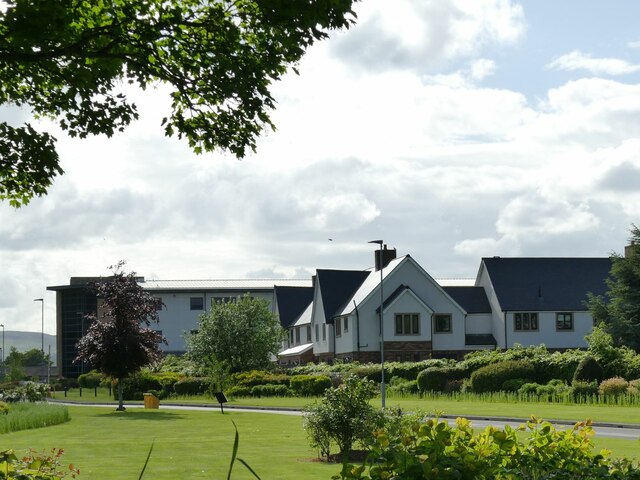
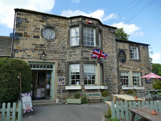
Gallows Hill Images

Images are sourced within 2km of 53.911772/-1.7209559 or Grid Reference SE1846. Thanks to Geograph Open Source API. All images are credited.

Arl Cafe and Waste Not, Main Street, Burley-in-Wharfedale
Main Street, Burley-in-Wharfedale
Queen's Hall, Main Street, Burley-in-Wharfedale
The Red Lion, Main Street, Burley-in-Wharfedale
Salem United Reformed Church, Main Street, Burley-in-Wharfedale
MCC Autocentre and the Co-Op, Main Street, Burley-in-Wharfedale
Main Street, Burley-in-Wharfedale
Peel Place, Burley-in-Wharfedale
Ginnel between North View and Park Row
Edward Johnson Car Sales, Otley Off Newall Carr Road.
Edward Johnson Car Sales, Otley
Off Newall Carr Road.
Middleton Court, Otley One of the buildings of the former Wharfedale Hospital, now converted to housing; there is a new hospital nearby to replace it. This is the rear of the entrance block and casual wards of 1871-73, by local architects C S and A J Nelson for the Wharfedale Poor Law Union and now listed grade II (list entry 1268416).  <a href="https://www.geograph.org.uk/photo/3887053">SE1946 : Former Wharfedale Hospital & Union Workhouse - Newall Carr Road</a> shows the front.
Middleton Court, Otley
One of the buildings of the former Wharfedale Hospital, now converted to housing; there is a new hospital nearby to replace it. This is the rear of the entrance block and casual wards of 1871-73, by local architects C S and A J Nelson for the Wharfedale Poor Law Union and now listed grade II (list entry 1268416). SE1946 : Former Wharfedale Hospital & Union Workhouse - Newall Carr Road shows the front.
Wharfedale Drive, Otley The main building and chimney of the former Wharfedale Hospital (originally a workhouse), now converted to housing. Built 1871-73, by local architects C S and A J Nelson for the Wharfedale Poor Law Union and now listed grade II (list entry 1268414). There is a new hospital nearby to replace it.
Wharfedale Drive, Otley
The main building and chimney of the former Wharfedale Hospital (originally a workhouse), now converted to housing. Built 1871-73, by local architects C S and A J Nelson for the Wharfedale Poor Law Union and now listed grade II (list entry 1268414). There is a new hospital nearby to replace it.
Former hospital building, Wharfedale Drive, Otley The rear block of the former Wharfedale Hospital (originally a workhouse), now converted to housing. Built 1871-73, by local architects C S and A J Nelson for the Wharfedale Poor Law Union. There is a new hospital nearby to replace it.
Former hospital building, Wharfedale Drive, Otley
The rear block of the former Wharfedale Hospital (originally a workhouse), now converted to housing. Built 1871-73, by local architects C S and A J Nelson for the Wharfedale Poor Law Union. There is a new hospital nearby to replace it.
Former hospital mortuary, Wharfedale Drive, Otley The Wharfedale Hospital (originally a workhouse) was built 1871-73, by local architects C S and A J Nelson for the Wharfedale Poor Law Union. There is a new hospital nearby to replace it. The buildings are now converted to housing and it was a resident who told us this had been the mortuary.
Former hospital mortuary, Wharfedale Drive, Otley
The Wharfedale Hospital (originally a workhouse) was built 1871-73, by local architects C S and A J Nelson for the Wharfedale Poor Law Union. There is a new hospital nearby to replace it. The buildings are now converted to housing and it was a resident who told us this had been the mortuary.
Former infirmary, Wharfedale Drive, Otley This was the infirmary block of the Wharfedale Hospital (originally a workhouse) built 1871-73, by local architects C S and A J Nelson for the Wharfedale Poor Law Union. There is a new hospital nearby to replace it. The buildings are now converted to housing. This one is listed grade II (list entry 1268415).
Former infirmary, Wharfedale Drive, Otley
This was the infirmary block of the Wharfedale Hospital (originally a workhouse) built 1871-73, by local architects C S and A J Nelson for the Wharfedale Poor Law Union. There is a new hospital nearby to replace it. The buildings are now converted to housing. This one is listed grade II (list entry 1268415).
Former hospital entrance, Newall Carr Road, Otley This was the entrance to the Wharfedale Hospital (originally a workhouse) built 1871-73, by local architects C S and A J Nelson for the Wharfedale Poor Law Union. There is a new hospital nearby to replace it. The buildings are now converted to housing. This is part of the entrance block, listed grade II (list entry 1268416).
Former hospital entrance, Newall Carr Road, Otley
This was the entrance to the Wharfedale Hospital (originally a workhouse) built 1871-73, by local architects C S and A J Nelson for the Wharfedale Poor Law Union. There is a new hospital nearby to replace it. The buildings are now converted to housing. This is part of the entrance block, listed grade II (list entry 1268416).
Wharfedale Hospital, Otley The old hospital buildings nearby have been converted to housing following the construction of this replacement facility, opened in 2004 and seen here from the main road.
Wharfedale Hospital, Otley
The old hospital buildings nearby have been converted to housing following the construction of this replacement facility, opened in 2004 and seen here from the main road.
The Yew Tree, Otley A pub on Newall Carr Road, which became a Tetley's pub in 1974. The interior in a traditional style earns it a place in CAMRA's regional listing.

The building is also listed by Historic England (Grade II, entry 1200479). According to the listing, it was originally called Yew Tree Cottage and described as an 18th century block of cottages, 'now partly demolished and much altered'. This is slightly at odds with CAMRA's description that describes it as a former farmhouse.  

The Union flag was flying for the forthcoming Platinum Jubilee.
The Yew Tree, Otley
A pub on Newall Carr Road, which became a Tetley's pub in 1974. The interior in a traditional style earns it a place in CAMRA's regional listing. The building is also listed by Historic England (Grade II, entry 1200479). According to the listing, it was originally called Yew Tree Cottage and described as an 18th century block of cottages, 'now partly demolished and much altered'. This is slightly at odds with CAMRA's description that describes it as a former farmhouse. The Union flag was flying for the forthcoming Platinum Jubilee.
Show me another place!

Gallows Hill is located at Grid Ref: SE1846 (Lat: 53.911772, Lng: -1.7209559)

Division: West Riding

Administrative County: North Yorkshire

District: Harrogate

Police Authority: North Yorkshire

What 3 Words

///rephrase.wider.scornful. Near Otley, West Yorkshire

Nearby Locations

Weston Park Gallows Hill

Related Wikis

Weston Hall, Yorkshire

Weston Hall is a country house and Grade I listed building in Weston, North Yorkshire, England. == History and architecture == The house has been in the...

Weston, North Yorkshire

Weston is a village and civil parish in the former Harrogate district of North Yorkshire, England. The village is 1.2 miles (2 km) north–west of Otley...

Wharfedale Hospital

Wharfedale Hospital (formerly known as Wharfedale General Hospital) is located in the market town of Otley, West Yorkshire, England, and is managed by...

Newall, West Yorkshire

Newall (historically also spelt Newell) is an area of Otley in West Yorkshire, England. It lies on the north bank of the River Wharfe, across Otley Bridge...

Burley in Wharfedale

Burley in Wharfedale is a village and civil parish in West Yorkshire, England, in the Wharfedale valley. In 2011, it had a population of 7,041. The village...

Prince Henry's Grammar School, Otley

Prince Henry's Grammar School (Specialist Language College), also known as Prince Henry's or PHGS, is a secondary school and sixth form established in...

All Saints' Church, Otley

All Saints' Church in Otley, West Yorkshire, England is an active Anglican parish church in the archdeaconry of Leeds and the Diocese of Leeds. == History... ==

Otley bus station

Otley bus station serves the town of Otley, West Yorkshire, England. The bus station consists of five stands in total. Stands 1 to 4 are in the bus station...

Nearby Amenities

Located within 500m of 53.911772,-1.7209559
Weston Drive Weston Park View
Bus: yes
Public Transport: stop_position
Lat/Long: 53.9144082/-1.7150269
Bus Stop
Weston Drive Weston Park View
Bus: yes
Local Ref: 45010469
Naptan AtcoCode: 450010469
Naptan Bearing: NW
Naptan CommonName: Weston Drive Weston Park View
Naptan Crossing: Weston Park View
Naptan Indicator: Stop 45010469
Naptan Notes: New TF shelter and 3P tt case fitted
Naptan PlusbusZoneRef: LEEDS
Naptan ShortCommonName: Weston Park View
Naptan Street: Weston Drive
Naptan Verified: no
Public Transport: platform
Shelter: yes
Source: naptan_import
Lat/Long: 53.9143749/-1.7151023
Bus Stop
Ilkley Road
Bench: no
Bus: yes
Local Ref: 45014765
Naptan AtcoCode: 450014765
Naptan Bearing: SE
Naptan CommonName: Ilkley Road
Naptan Crossing: Mapel Grange
Naptan Indicator: Stop 45014765
Naptan Landmark: Mapel Bank Farm
Naptan PlusbusZoneRef: LEEDS
Naptan ShortCommonName: Maple Bank Farm
Naptan Street: Ilkley Road
Naptan Verified: no
Public Transport: platform
Shelter: no
Source: naptan_import
Lat/Long: 53.9083113/-1.7221491
Bus Stop
Ilkley Road
Local Ref: 45014766
Naptan AtcoCode: 450014766
Naptan Bearing: NW
Naptan CommonName: Ilkley Road
Naptan Indicator: Stop 45014766
Naptan Landmark: Water Treatment Works
Naptan PlusbusZoneRef: LEEDS
Naptan ShortCommonName: Maple Bank Farm
Naptan Street: Ilkley Road
Naptan Verified: no
Public Transport: platform
Shelter: no
Source: naptan_import
Lat/Long: 53.9085118/-1.7233199
Meagill's Cottage
Archaeological Site: building
Historic: archaeological_site
Source: os_25k_firstseries;OS sheet 187,publ 1851
Lat/Long: 53.9125186/-1.7155265
Parking
Parking: layby
Lat/Long: 53.9095477/-1.7268429
Barrier: kissing_gate
Lat/Long: 53.9097117/-1.7272519
Dylan's Hill
Description: Burial Mound - Possible Fort overlooks Wharfe
Historic: archaeological_site
Source: My own eyes
Lat/Long: 53.9147372/-1.7206518
Gallows Hill
Fixme: may refer to the nearby "burial mound"
Natural: peak
Source: OS Yorkshire 187, 1851
Lat/Long: 53.9149508/-1.7202167
Waste Basket
Collection Times: We; Su
Condition: GOOD
Ref UK Leedscc Bin: 3585
Waste Basket Model: METAL SQUARE
Lat/Long: 53.914384/-1.71524
The data included in this document is from www.openstreetmap.org. The data is made available under ODbL.

Have you been to Gallows Hill?

Leave your review of Gallows Hill below (or comments, questions and feedback).