Broom Hill
Hill, Mountain in Durham
England
Broom Hill

Broom Hill is a small hill located in Durham, England. It is situated in the north of the city, near the neighborhoods of Neville's Cross and Crossgate Moor. Rising to an elevation of approximately 100 meters (330 feet), Broom Hill is considered a modest hill rather than a mountain.
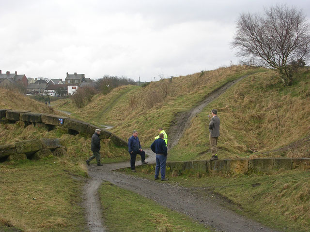
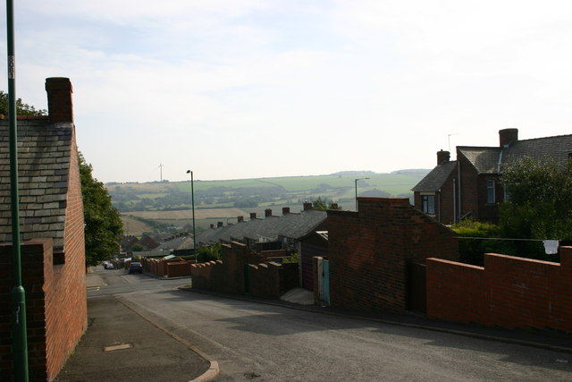
The hill is characterized by its lush greenery and panoramic views of the surrounding area. It is covered with a mix of grass, heather, and various wildflowers, creating a picturesque landscape. Broom Hill is a popular destination for hikers and nature enthusiasts, who can enjoy its gentle slopes and tranquil atmosphere.
At the summit of Broom Hill, visitors can admire stunning vistas of Durham and its iconic landmarks, such as Durham Cathedral and Durham Castle. On clear days, one can even catch a glimpse of the North Sea in the distance.
The hill is accessible by foot, with several footpaths leading up to its peak. These paths wind through the countryside, offering a peaceful and scenic route for walkers. Broom Hill is also home to a variety of wildlife, including rabbits, squirrels, and various bird species, providing nature lovers with ample opportunities for observation and photography.
Overall, Broom Hill offers a serene escape from the bustling city life of Durham, providing a place of natural beauty and tranquility for locals and visitors alike.
If you have any feedback on the listing, please let us know in the comments section below.
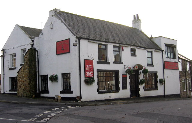
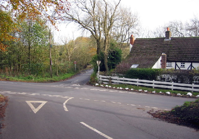
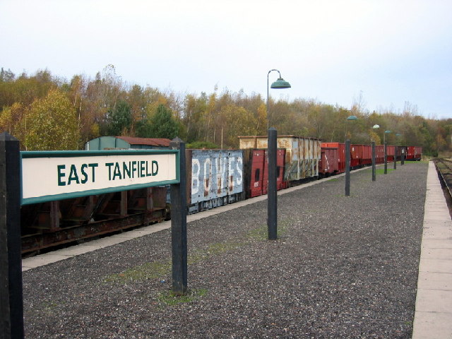
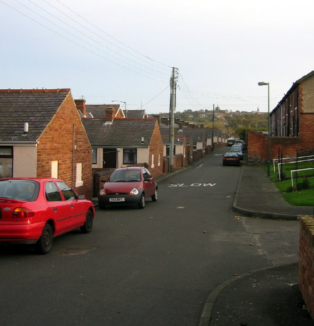
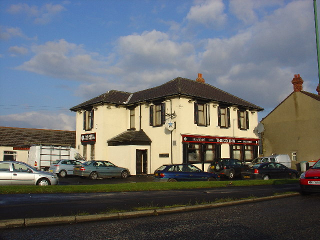
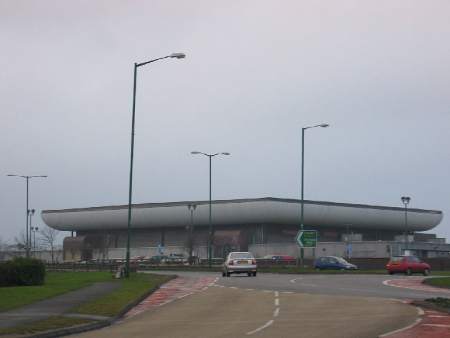
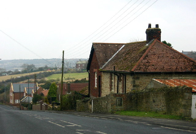
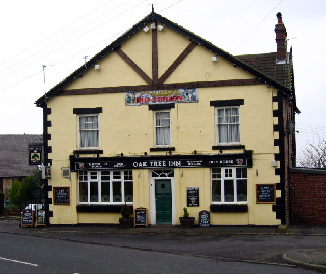
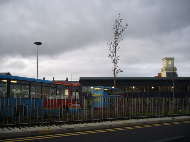
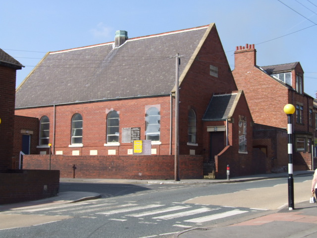
Broom Hill Images
Images are sourced within 2km of 54.875951/-1.720217 or Grid Reference NZ1853. Thanks to Geograph Open Source API. All images are credited.


Broom Hill is located at Grid Ref: NZ1853 (Lat: 54.875951, Lng: -1.720217)
Unitary Authority: County Durham
Police Authority: Durham
What 3 Words
///denoting.birthing.volunteered. Near Stanley, Co. Durham
Nearby Locations
Related Wikis

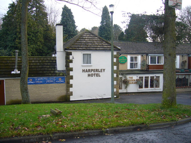
Harperley
Harperley is a small village in County Durham, England. It is situated between Tantobie to the north east, Tanfield Lea to the east, Stanley to the south...

Tanfield Lea
Tanfield Lea is a village north of Stanley, County Durham, England, and south of Tantobie. == Religious sites == There is a Methodist Church, which also...

Tanfield School
Tanfield School is a coeducational secondary school in Stanley, County Durham, England, by the border to Tanfield Lea. The school is part of the Eden Learning...
East Kyo
East Kyo is a small hamlet in County Durham, England. It is situated a short distance to the west of Stanley, close to Annfield Plain, West Kyo (15 minutes...
Shield Row
Shield Row is a village in County Durham, in England. It is situated immediately to the north of Stanley. To the north is Tanfield village. Pubs include...
White-le-Head
White-le-Head is a village in County Durham, in England, situated in close proximity to the village of Tantobie. It is located on the opposite side of...

West Kyo
West Kyo (also known locally as Old Kyo) is a small village in County Durham, England, United Kingdom. The name 'kyo' is derived from an old word for...

Oxhill, County Durham
Oxhill is a small village in County Durham, in England. It is located to the west of Stanley, on the bottom of the hill which leads up to New Kyo and Annfield...
Nearby Amenities
Located within 500m of 54.875951,-1.720217Have you been to Broom Hill?
Leave your review of Broom Hill below (or comments, questions and feedback).