Brazen Church Hill
Hill, Mountain in Gloucestershire Cotswold
England
Brazen Church Hill
Brazen Church Hill is a prominent geographical feature located in Gloucestershire, England. Situated in the Cotswolds, a range of rolling hills in the southwestern part of the country, Brazen Church Hill stands tall and commands attention with its imposing presence.
Rising to an elevation of approximately 250 meters (820 feet), Brazen Church Hill is classified as a hill rather than a mountain due to its modest height. However, it still offers breathtaking panoramic views of the surrounding countryside, making it a popular destination for hikers and nature enthusiasts alike.
The name "Brazen Church Hill" is derived from the nearby village of Churchdown, which lies at the foot of the hill. The origins of the term "brazen" remain unclear, but it is believed to refer to the hill's exposed and rugged nature.
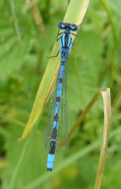
Covered in lush green vegetation, the hill is home to a diverse range of flora and fauna. It boasts a variety of wildflowers, including bluebells and primroses, which create a vibrant and colorful landscape during the spring and summer months. The hill also provides a habitat for various bird species, such as skylarks and kestrels, which can often be seen soaring through the skies above.
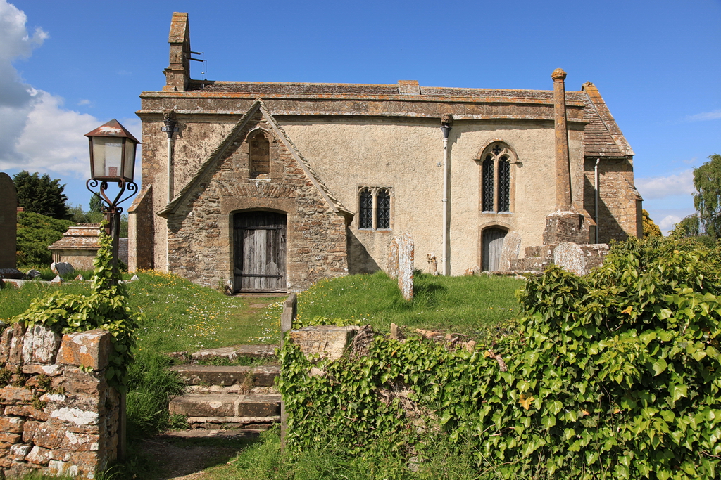
In addition to its natural beauty, Brazen Church Hill holds historical significance. It is thought to have been used as a lookout point during ancient times, providing an advantageous vantage point for monitoring the surrounding area. Today, remnants of an Iron Age hillfort can still be found on the hill, serving as a reminder of its rich past.
Overall, Brazen Church Hill offers a captivating blend of natural splendor, recreational opportunities, and historical intrigue, making it a cherished landmark in Gloucestershire's picturesque countryside.
If you have any feedback on the listing, please let us know in the comments section below.
Brazen Church Hill Images
Images are sourced within 2km of 51.670844/-1.7429928 or Grid Reference SU1796. Thanks to Geograph Open Source API. All images are credited.
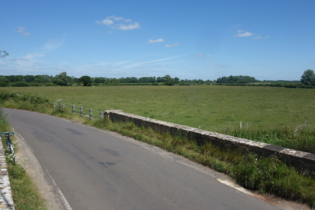


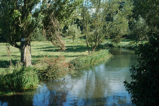
![A figure of eight walk from Lechlade-on-Thames [20] The track passes through Bowmoor Plantation and approaches Dudgrove Lane.
After leaving Lechlade, the route joins the long distance Thames and Severn Way and passes the southern edge of Bowmoor Lake. Turning north, and looping around the northern edge of the lake, the Thames and Severn Way is re-joined and followed to the banks of the River Thames and back to Lechlade. Slightly over 5 miles.](https://s0.geograph.org.uk/geophotos/07/26/41/7264140_d6e28036.jpg)
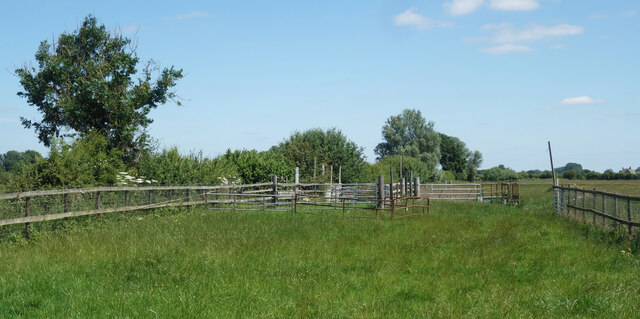
![A figure of eight walk from Lechlade-on-Thames [21] Seen from Dudgrove Lane, the track enters Bowmoor Plantation.
After leaving Lechlade, the route joins the long distance Thames and Severn Way and passes the southern edge of Bowmoor Lake. Turning north, and looping around the northern edge of the lake, the Thames and Severn Way is re-joined and followed to the banks of the River Thames and back to Lechlade. Slightly over 5 miles.](https://s1.geograph.org.uk/geophotos/07/26/41/7264141_472df29c.jpg)
![A figure of eight walk from Lechlade-on-Thames [22] Looking along Dudgrove Lane, seen from the point where the Thames and Severn Way leaves the road and enters Boxmoor Plantation.
After leaving Lechlade, the route joins the long distance Thames and Severn Way and passes the southern edge of Bowmoor Lake. Turning north, and looping around the northern edge of the lake, the Thames and Severn Way is re-joined and followed to the banks of the River Thames and back to Lechlade. Slightly over 5 miles.](https://s2.geograph.org.uk/geophotos/07/26/41/7264142_92b21c7c.jpg)
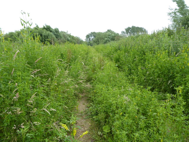
![A figure of eight walk from Lechlade-on-Thames [23] Looking along Dudgrove Lane as it continues, arrow straight, towards Whelford.
After leaving Lechlade, the route joins the long distance Thames and Severn Way and passes the southern edge of Bowmoor Lake. Turning north, and looping around the northern edge of the lake, the Thames and Severn Way is re-joined and followed to the banks of the River Thames and back to Lechlade. Slightly over 5 miles.](https://s1.geograph.org.uk/geophotos/07/26/41/7264177_2b2cece8.jpg)


Brazen Church Hill is located at Grid Ref: SU1796 (Lat: 51.670844, Lng: -1.7429928)
Administrative County: Gloucestershire
District: Cotswold
Police Authority: Gloucestershire
What 3 Words
///crumples.alarm.completed. Near Hannington, Wiltshire
Nearby Locations
Related Wikis

Hannington Bridge
Hannington Bridge is a road bridge across the River Thames in England. It carries a minor road between Kempsford in Gloucestershire and Hannington Wick...

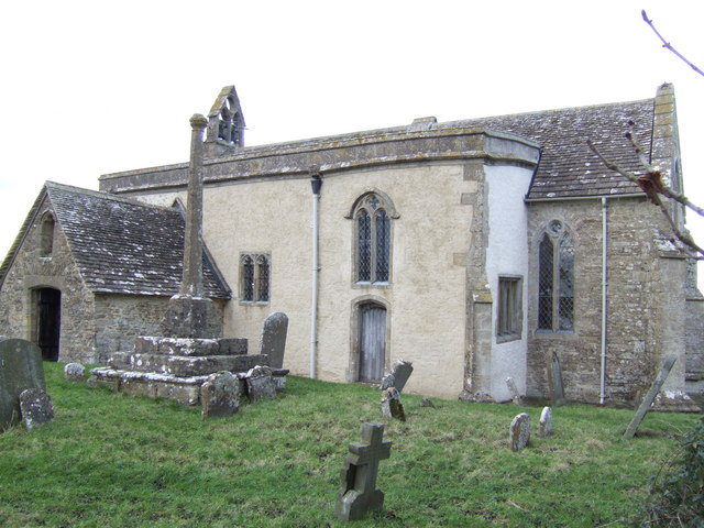
Church of St Mary the Virgin, Kempsford
The Anglican Church of St Mary the Virgin at Kempsford in the Cotswold District of Gloucestershire, England was built in the 12th century. It is a grade...
Kempsford
Kempsford is a village and civil parish in Gloucestershire, England, about 2.5 miles (4 km) south of Fairford. RAF Fairford is immediately north of the...
Whelford
Whelford is a village in the civil parish of Kempsford, in the Cotswold district, in the county of Gloucestershire, England. Whelford lies in the Cotswold...
St John the Baptist Church, Inglesham
St John the Baptist Church in Inglesham, near Swindon, Wiltshire, England, has Anglo-Saxon origins but most of the current structure was built around 1205...
Inglesham
Inglesham is a small village and civil parish in the Borough of Swindon, Wiltshire, England, notable for the Grade-I listed St John the Baptist Church...
River Coln
The River Coln is a river in Gloucestershire, England. It rises to the north of Brockhampton, a village to the east of Cheltenham, and flows in a south/south...

Whelford Meadow
Whelford Meadow (grid reference SP168000) is a 1.86-hectare (4.6-acre) biological Site of Special Scientific Interest in Gloucestershire, England, notified...
Have you been to Brazen Church Hill?
Leave your review of Brazen Church Hill below (or comments, questions and feedback).