Besford's Hill

Hill, Mountain in Northumberland

England

Besford's Hill

Jackson's Garage, Priestbridge
Jackson's Garage, Priestbridge Credit: David Dixon

Besford's Hill is a prominent natural landmark located in Northumberland, England. It is situated in the northern part of the county and forms part of the North Pennines Area of Outstanding Natural Beauty. This hill is known for its stunning panoramic views and diverse flora and fauna.

Rising to an elevation of approximately 500 meters, Besford's Hill is often referred to as a hill rather than a mountain due to its relatively modest height. However, its commanding presence and steep slopes make it a popular destination for hikers, nature enthusiasts, and photographers.

The hill is characterized by its rolling landscape and distinctive craggy peaks, which provide visitors with breathtaking vistas of the surrounding countryside. On clear days, it is possible to see as far as the Cheviot Hills to the north and the North Sea to the east.

Besford's Hill is also home to a rich variety of plant and animal life. The slopes are covered in heather and grasses, while the summit is adorned with scattered rocky outcrops. This diverse habitat supports a range of species, including red grouse, curlews, and adders.

Access to Besford's Hill is relatively straightforward, with several well-marked footpaths and trails leading to the summit. Visitors are advised to wear appropriate footwear and clothing, as the weather conditions can be changeable and the terrain can be challenging in some areas.

Overall, Besford's Hill offers a unique and captivating experience for those seeking natural beauty and outdoor adventure in Northumberland.

If you have any feedback on the listing, please let us know in the comments section below.

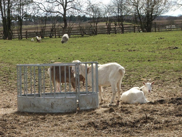
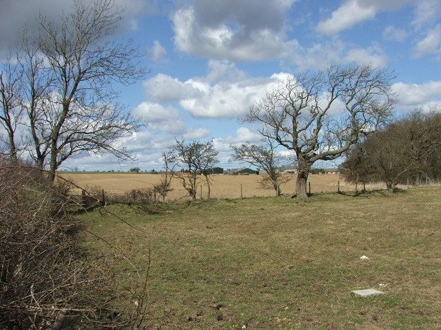
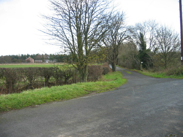
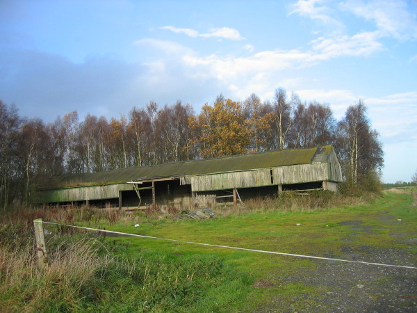
Besford's Hill Images

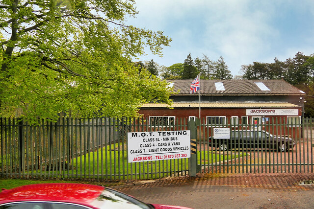
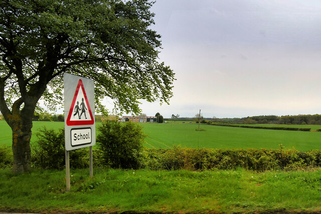
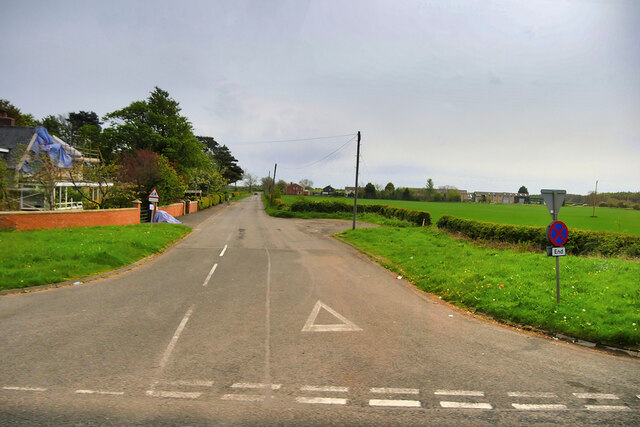
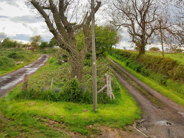
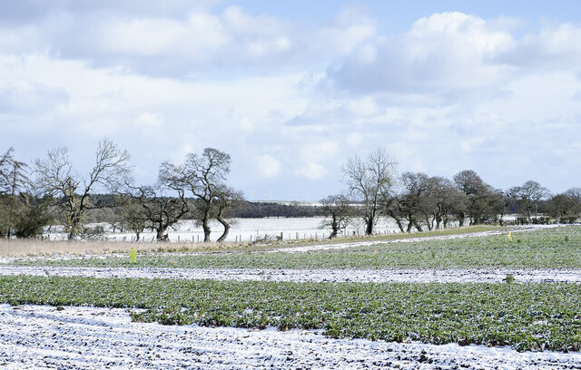
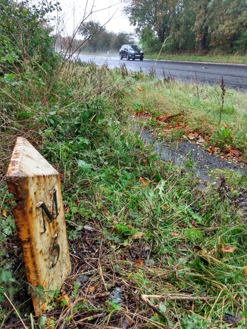
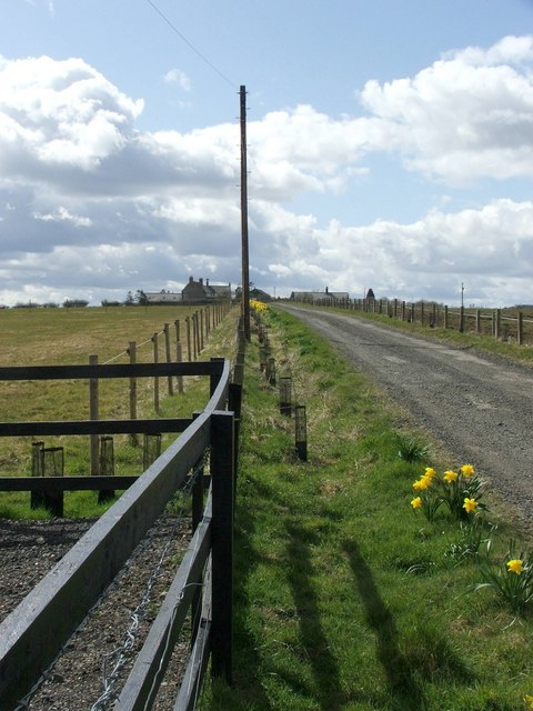
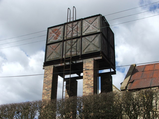
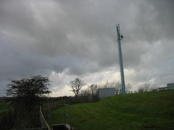
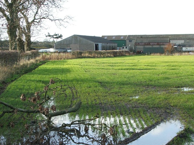
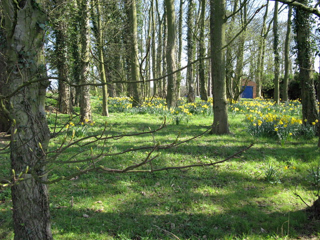
Images are sourced within 2km of 55.222186/-1.7243344 or Grid Reference NZ1792. Thanks to Geograph Open Source API. All images are credited.

Jackson's Garage, Priestbridge
Fields to the east of the A1 Just to the south of Tritlington Church Of England First School.
Fields to the east of the A1
Just to the south of Tritlington Church Of England First School.
Minor Road to Tritlington
Twin Farm Tracks at Earsdon Moor
High tension wires This telephone line was a victim of Storm Arwen two months ago but presumably is still working despite the tension in the cable.  Conversations might be a bit strained.
High tension wires
This telephone line was a victim of Storm Arwen two months ago but presumably is still working despite the tension in the cable. Conversations might be a bit strained.
Lightly snowed fields on eastern side of A1 The fields lie to the north of Hebron Hill in this view from a lay by on the road's east side. There are small, flat, yellow effigies of people standing erect in the near field... scarecrows?
Lightly snowed fields on eastern side of A1
The fields lie to the north of Hebron Hill in this view from a lay by on the road's east side. There are small, flat, yellow effigies of people standing erect in the near field... scarecrows?
Old Milepost by the A1, north of Morpeth Cast iron post by the A1, in parish of TRITLINGTON (CASTLE MORPETH District), Earsdon Moor, on grass verge back to stone wall, on East side of road. MA bevel iron casting, erected by the Cow-causey & Buckton-Burn turnpike trust in the 19th century. 

Inscription reads:-
: M / 5 : : A / 14 :
(To Morpeth & Alnwick)

Grade II listed. List Entry Number: 1303996
<span class="nowrap"><a title="https://historicengland.org.uk/listing/the-list/list-entry/1303996" rel="nofollow ugc noopener" href="https://historicengland.org.uk/listing/the-list/list-entry/1303996">Link</a><img style="margin-left:2px;" alt="External link" title="External link - shift click to open in new window" src="https://s1.geograph.org.uk/img/external.png" width="10" height="10"/></span>

Milestone Society National ID: NB_MPAN05.
Old Milepost by the A1, north of Morpeth
Cast iron post by the A1, in parish of TRITLINGTON (CASTLE MORPETH District), Earsdon Moor, on grass verge back to stone wall, on East side of road. MA bevel iron casting, erected by the Cow-causey & Buckton-Burn turnpike trust in the 19th century. Inscription reads:- : M / 5 : : A / 14 : (To Morpeth & Alnwick) Grade II listed. List Entry Number: 1303996 LinkExternal link Milestone Society National ID: NB_MPAN05.
Gorfen Letch Taken from the adjacent square because this looked like a private drive which lead only to the house. Half of the driveway and house are in the square.
Gorfen Letch
Taken from the adjacent square because this looked like a private drive which lead only to the house. Half of the driveway and house are in the square.
Storage Tank Fenrother
Storage Tank
Fenrother
Farmyard Animals A mixture of farmyard animals enjoying the Spring sunshine.
Farmyard Animals
A mixture of farmyard animals enjoying the Spring sunshine.
Farmland The fence separates two fields, one for growing arable crops and the other for grazing horses.
Farmland
The fence separates two fields, one for growing arable crops and the other for grazing horses.
Private drive leading to Heron's Close
Road to Fenrother from A697
Broom Plantation with dilapidated barn
Moor Edge Cottage
Moor Edge Cottage
Mobile telephone mast near Fieldhead
Shield Green Farm and waterlogged field
Shield Green
Farm and waterlogged field
Spring daffodils in the gardens of Priest Bridge House
Show me another place!

Besford's Hill is located at Grid Ref: NZ1792 (Lat: 55.222186, Lng: -1.7243344)

Unitary Authority: Northumberland

Police Authority: Northumbria

What 3 Words

///rave.pirates.flown. Near Longhorsley, Northumberland

Nearby Locations

Besford's Hill Fenrother

Related Wikis

Causey Park Bridge

Causey Park Bridge is a village in Northumberland, England. It is about 6 miles (10 km) to the north of Morpeth and a similar distance inland from the...
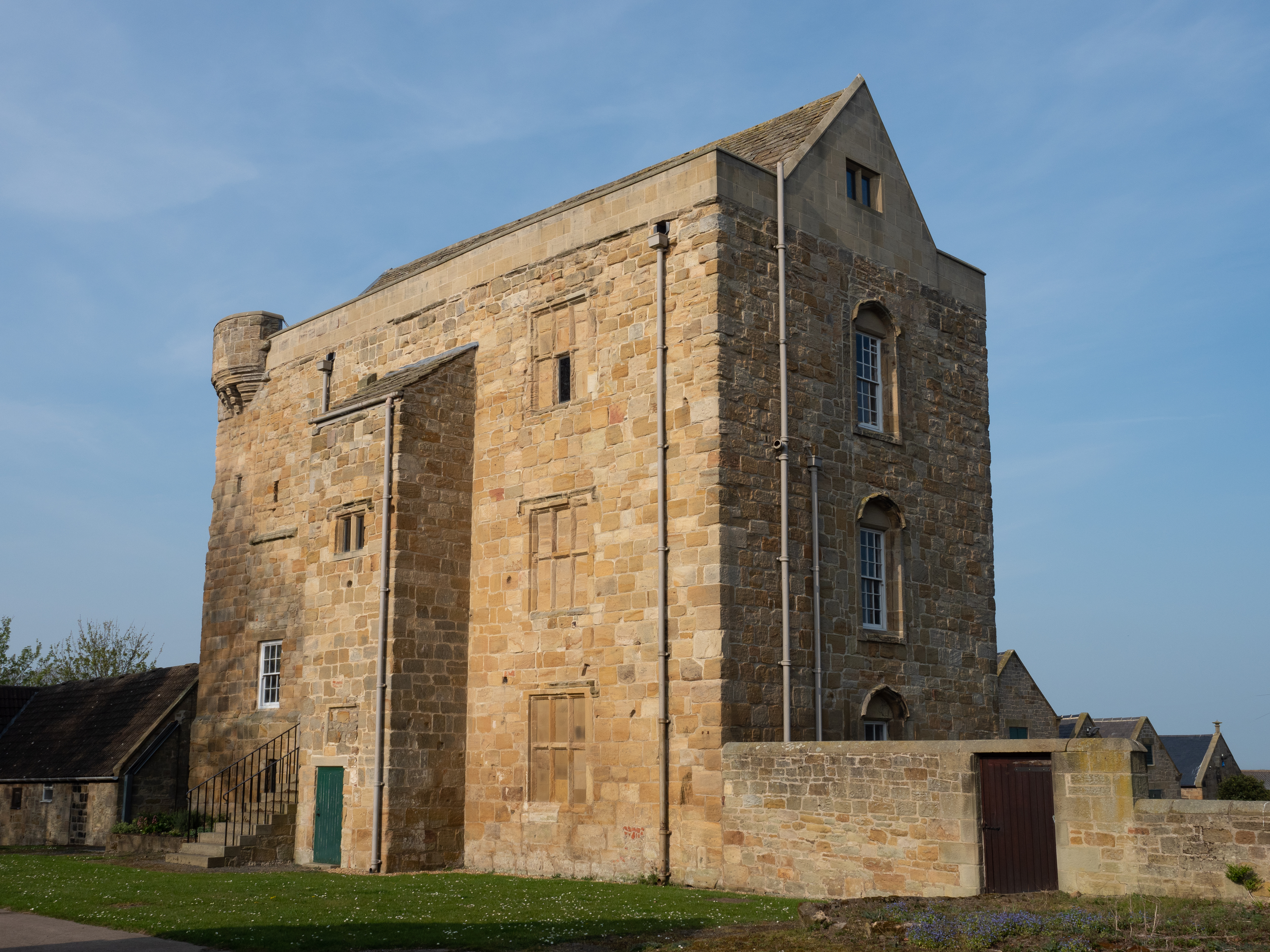
Cockle Park Tower

Cockle Park Tower is a Grade 1 listed building in the hamlet of Cockle Park, Northumberland, England, some 4 miles (6 km) to the north of Morpeth. This...

Causey Park House

Causey Park House is a 16th-century former manor house with Grade II listed building status situated at Causey Park, Northumberland, England. The Manors...

Tritlington

Tritlington is a hamlet and former civil parish about 4 miles from Morpeth, now in the parish of Tritlington and West Chevington, in the county of Northumberland...

Nearby Amenities

Located within 500m of 55.222186,-1.7243344
Fenrother
Place: hamlet
Lat/Long: 55.2225911/-1.7250497
Post Box
Collection Times: Mo-Fr 17:00; Sa 08:00
Operator: Royal Mail
Post Box Type: lamp
Ref: NE61 200
Royal Cypher: EIIR
Royal Cypher Wikidata: Q33102113
Lat/Long: 55.2223907/-1.7253289
The data included in this document is from www.openstreetmap.org. The data is made available under ODbL.

Have you been to Besford's Hill?

Leave your review of Besford's Hill below (or comments, questions and feedback).