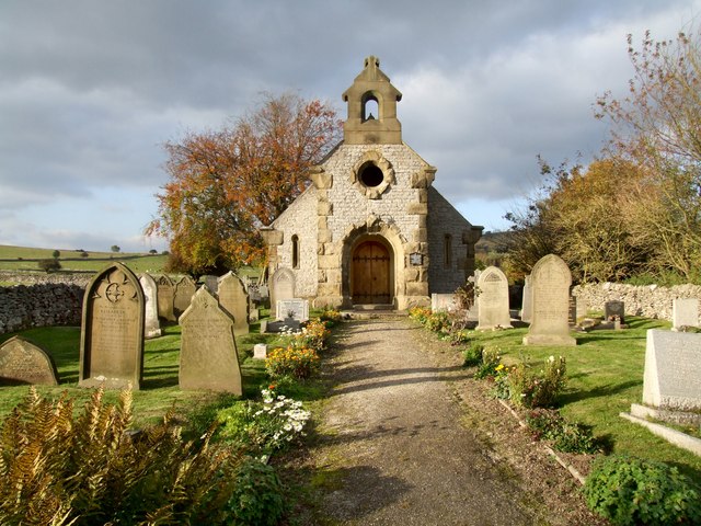
Fin Cop
Hill, Mountain in Derbyshire Derbyshire Dales
England
Fin Cop

Fin Cop is a prominent hill located in the county of Derbyshire, England, within the Peak District National Park. Rising to an elevation of 350 meters (1,148 feet), it is considered one of the notable landmarks in the region. Situated near the village of Monsal Head, Fin Cop offers stunning panoramic views of the surrounding countryside and is a popular destination for hikers, nature enthusiasts, and photographers.
The hill is composed of limestone, which gives it its characteristic rugged and rocky terrain. It is known for its distinctive shape, featuring a steep escarpment on its southern side and a more gentle slope on the northern side. The landscape is punctuated by craggy outcrops and scattered trees, providing a picturesque setting for visitors.
Historically, Fin Cop has also been of archaeological significance. It is home to an Iron Age hillfort, believed to have been constructed around 3,000 years ago. The fortifications, which encompass an area of approximately 1.3 hectares, consist of a series of earthworks and ditches. Excavations have revealed evidence of human activity, including pottery, tools, and animal bones, shedding light on the lives of the ancient inhabitants.
Today, Fin Cop remains a popular destination for outdoor activities. The hill offers various walking and hiking routes that cater to different skill levels. Its location within the Peak District National Park means that visitors can also explore the surrounding area, which boasts diverse wildlife, picturesque valleys, and charming villages. Whether it's to admire the breathtaking views or explore its historical significance, Fin Cop is a must-visit destination for those seeking natural beauty and cultural heritage in Derbyshire.
If you have any feedback on the listing, please let us know in the comments section below.
Fin Cop Images
Images are sourced within 2km of 53.235129/-1.7401286 or Grid Reference SK1770. Thanks to Geograph Open Source API. All images are credited.
Fin Cop is located at Grid Ref: SK1770 (Lat: 53.235129, Lng: -1.7401286)
Administrative County: Derbyshire
District: Derbyshire Dales
Police Authority: Derbyshire
What 3 Words
///snowstorm.sinkhole.improving. Near Tideswell, Derbyshire
Nearby Locations
Related Wikis
Fin Cop
Fin Cop is a hill and an associated Iron Age hill fort in Monsal Dale, close to Ashford in the Water in Derbyshire, England.The fort shows evidence of...
Monsal Dale railway station
Monsal Dale railway station was opened in 1866 by the Midland Railway on its line from Rowsley, extending the Manchester, Buxton, Matlock and Midlands...
Monsal Trail
The Monsal Trail is a cycling, horse riding and walking trail in the Derbyshire Peak District. It was constructed from a section of the former Manchester...
Monsal Dale
Monsal Dale is a valley in Derbyshire, England, in the White Peak limestone area of the Peak District National Park. It is a Site of Special Scientific...
Brushfield
Brushfield is a hamlet and civil parish in the Derbyshire Dales district of Derbyshire, England, in the Peak District National Park. It is about 8 miles...
Little Longstone
Little Longstone is a village and civil parish in Derbyshire, England. The village is on a minor road west of Great Longstone, just off the B6465 road...
St Michael and All Angels' Church, Sheldon
St Michael and All Angels’ Church, Sheldon is a Grade II listed parish church in the Church of England in Sheldon, Derbyshire. == History == The original...
Sheldon, Derbyshire
Sheldon is a village in the Derbyshire Peak District, England near Bakewell. It is best known for being the closest village to Magpie Mine, a lead mine...
Nearby Amenities
Located within 500m of 53.235129,-1.7401286Have you been to Fin Cop?
Leave your review of Fin Cop below (or comments, questions and feedback).


