Horn Hill
Hill, Mountain in Yorkshire
England
Horn Hill
Horn Hill is a prominent hill located in the county of Yorkshire, England. It is situated in the northern part of the county, in close proximity to the town of Skipton. Standing at an impressive height of 1,100 feet above sea level, Horn Hill is known for its commanding presence and picturesque views of the surrounding countryside.
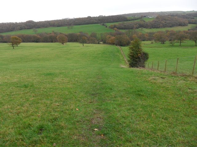
The hill is part of the larger Pennine Range, which stretches across northern England. It is characterized by its steep slopes and rugged terrain, making it a popular destination for outdoor enthusiasts and avid hikers. The hill offers a variety of trails and pathways, catering to different skill levels and interests.
At the summit of Horn Hill, visitors are rewarded with breathtaking panoramic vistas of the Yorkshire Dales National Park and the rolling hills that define the region. On clear days, it is possible to see as far as the distant peaks of the Lake District and even the Scottish Borders.
The hill is adorned with an array of flora and fauna, including heather, bracken, and a range of bird species. It is not uncommon to spot buzzards, kestrels, and peregrine falcons soaring through the sky above.
Horn Hill holds historical significance as well, with evidence of ancient settlements and burial mounds dating back thousands of years. Archaeological excavations have uncovered artifacts and remnants from Neolithic, Bronze Age, and Iron Age civilizations.
Overall, Horn Hill offers a captivating blend of natural beauty, outdoor adventure, and historical intrigue, making it a must-visit destination for anyone exploring the Yorkshire region.
If you have any feedback on the listing, please let us know in the comments section below.
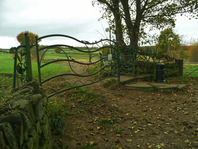
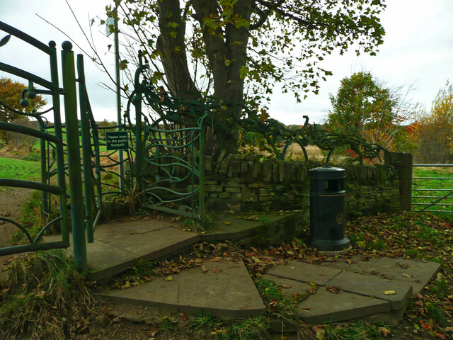
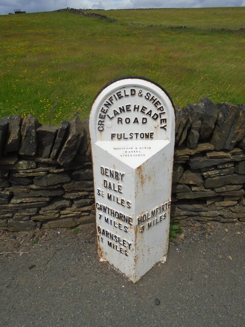
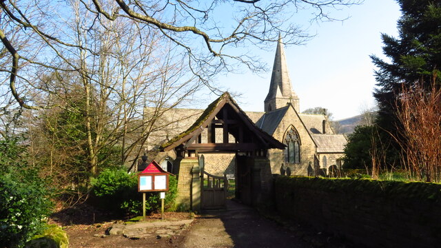
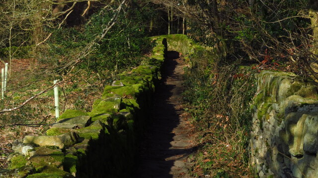
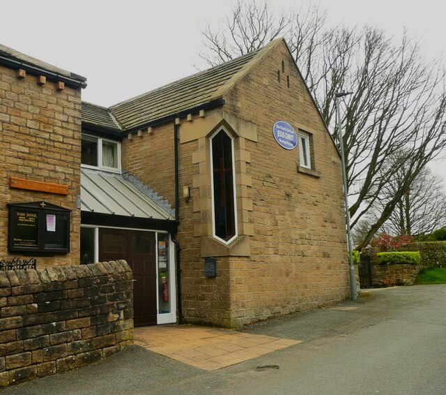
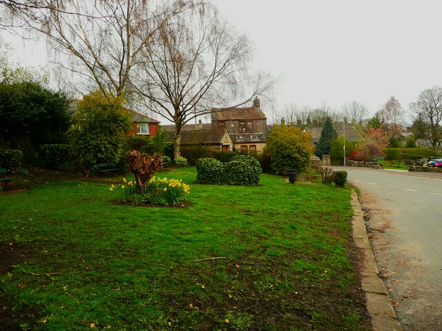
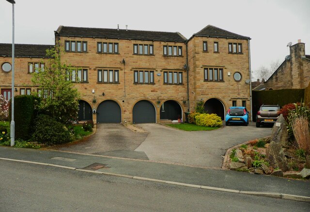
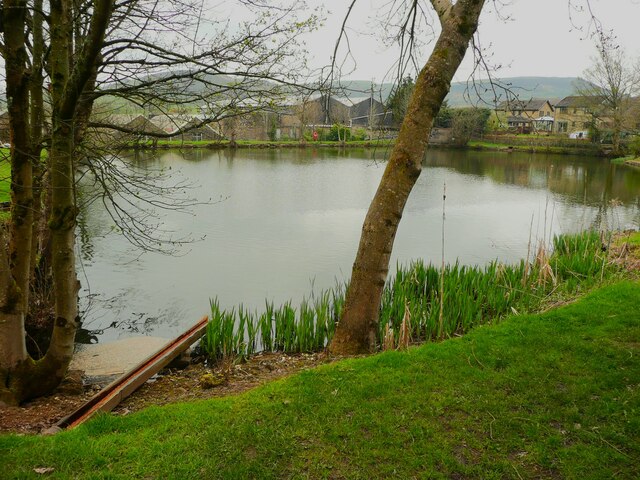
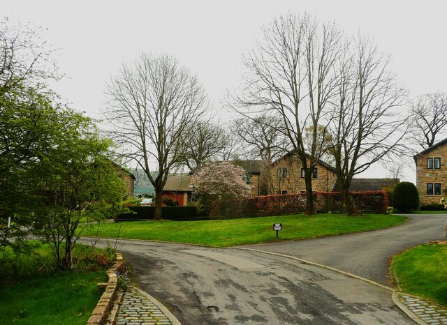
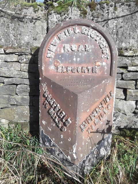
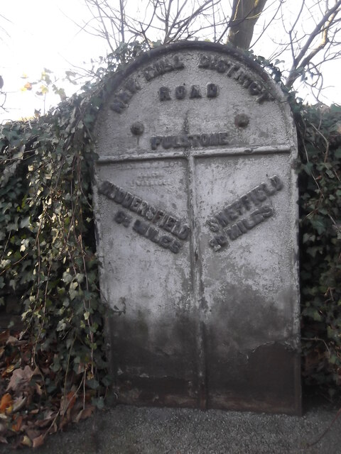
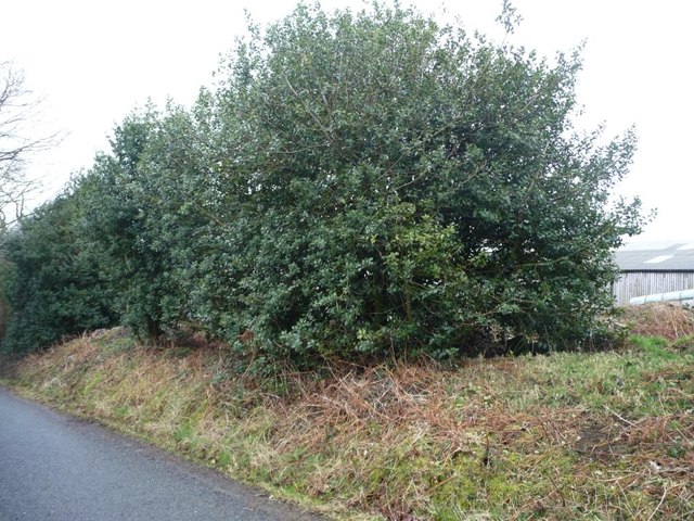
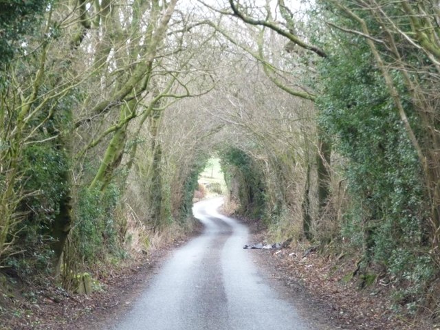
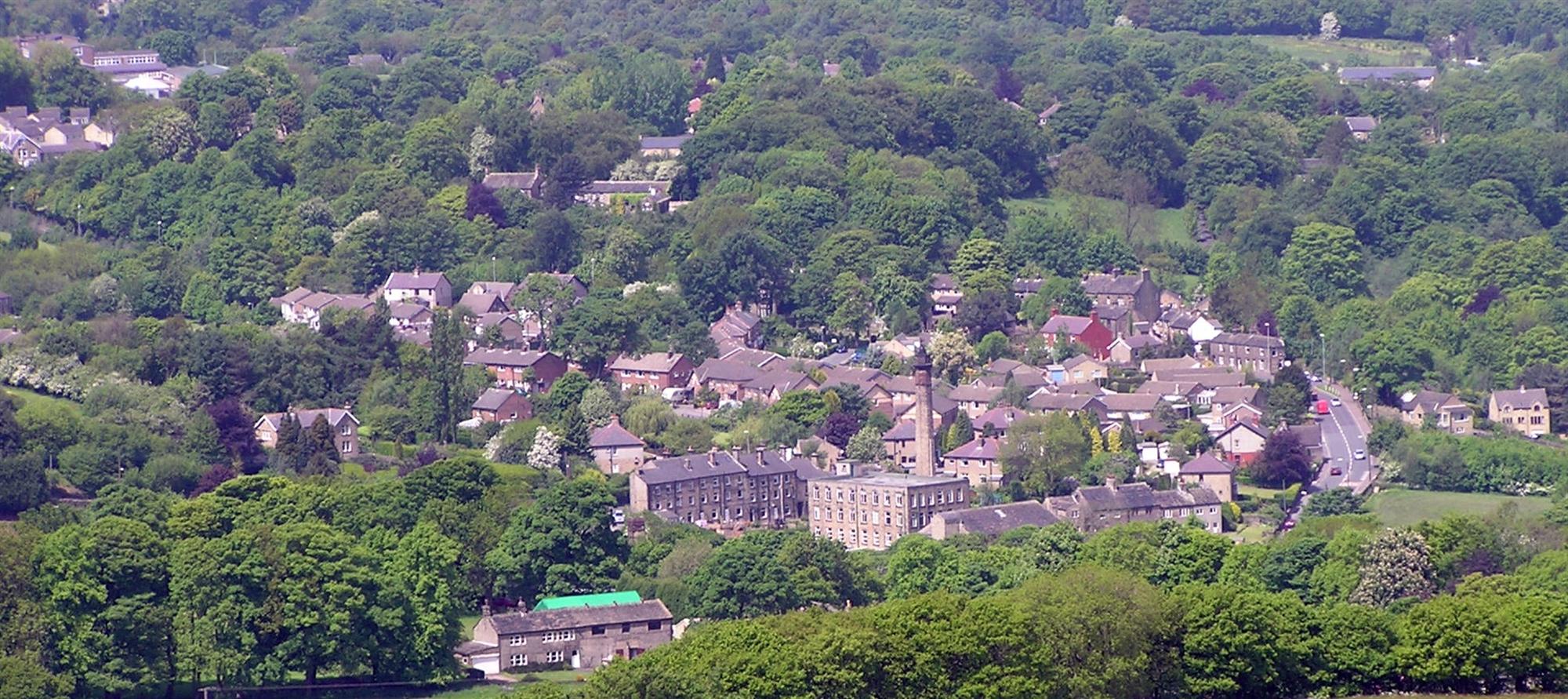
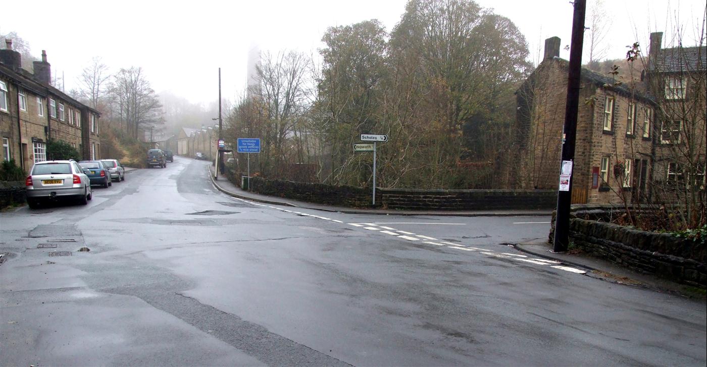
Horn Hill Images
Images are sourced within 2km of 53.573938/-1.7411235 or Grid Reference SE1708. Thanks to Geograph Open Source API. All images are credited.
Horn Hill is located at Grid Ref: SE1708 (Lat: 53.573938, Lng: -1.7411235)
Division: West Riding
Unitary Authority: Kirklees
Police Authority: West Yorkshire
What 3 Words
///inventors.drips.payout. Near Shepley, West Yorkshire
Nearby Locations
Related Wikis

A635 road
The A635 is a main road that runs between Manchester and Doncaster running east–west through Stalybridge, Saddleworth Moor, Holmfirth, Barnsley and the...
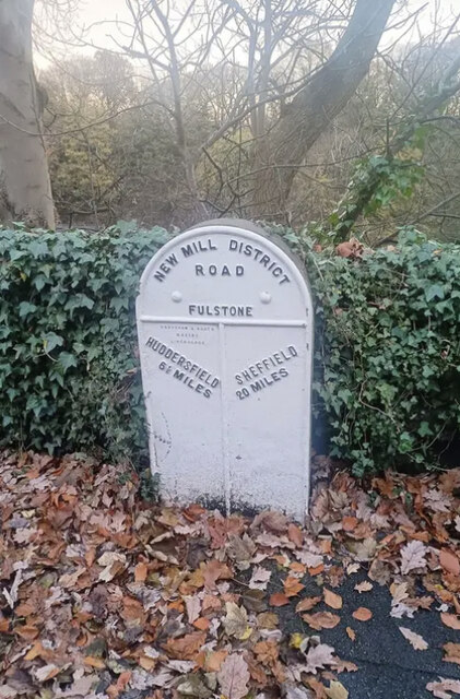
New Mill, West Yorkshire
New Mill, West Yorkshire, England, is a small, semi-rural village near the town of Holmfirth. It is in the metropolitan borough of Kirklees and the civil...
Jackson Bridge
Jackson Bridge is a small village in the civil parish of Holme Valley in the Metropolitan Borough of Kirklees in West Yorkshire, England and within the...

Totties
Totties is a hamlet between New Mill and Scholes near Holmfirth in West Yorkshire, England. Although it consists of no more than 70-80 houses, it has within...
Nearby Amenities
Located within 500m of 53.573938,-1.7411235Have you been to Horn Hill?
Leave your review of Horn Hill below (or comments, questions and feedback).