Clints Hill

Hill, Mountain in Yorkshire Harrogate

England

Clints Hill

Fishing on Leighton Reservoir The lake covers approximately 100 acres and in places is up to 100 feet deep.
Although not in Nidderdale, the reservoir is within the Nidderdale Area of Outstanding Natural Beauty and it takes its name from the nearby village of Leighton.
Fishing on Leighton Reservoir Credit: Maigheach-gheal

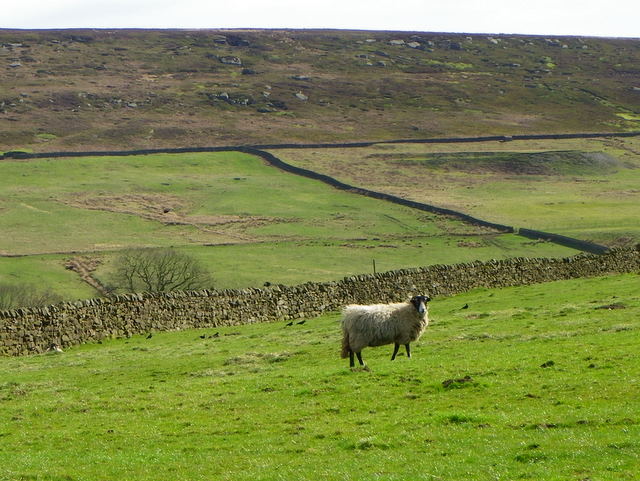
Clints Hill is a prominent peak located in the picturesque county of Yorkshire, England. Situated in the Howardian Hills Area of Outstanding Natural Beauty, this hill stands at an elevation of approximately 190 meters (620 feet) above sea level. It is part of a range of rolling hills that offer breathtaking views of the surrounding countryside.

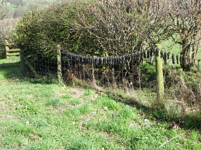
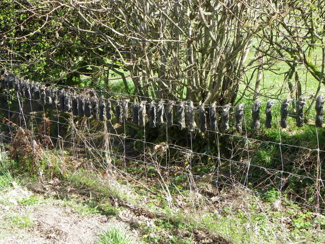
Covered in lush green vegetation, Clints Hill is known for its diverse flora and fauna. It is home to a variety of plant species, including heather, gorse, and wildflowers, creating a vibrant and colorful landscape. The hill also boasts a rich wildlife population, with sightings of birds, rabbits, and deer being quite common.

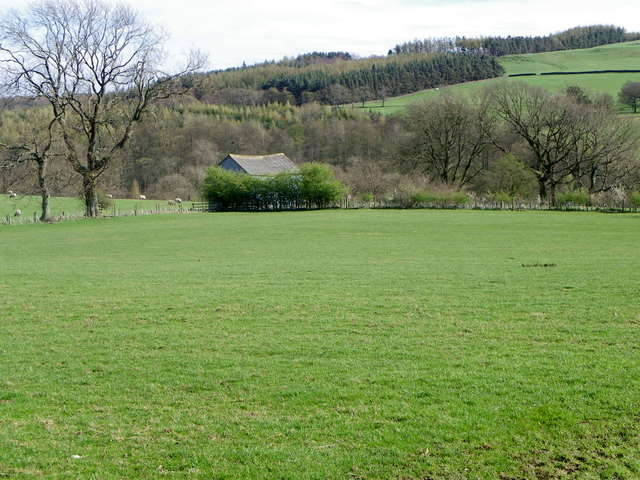
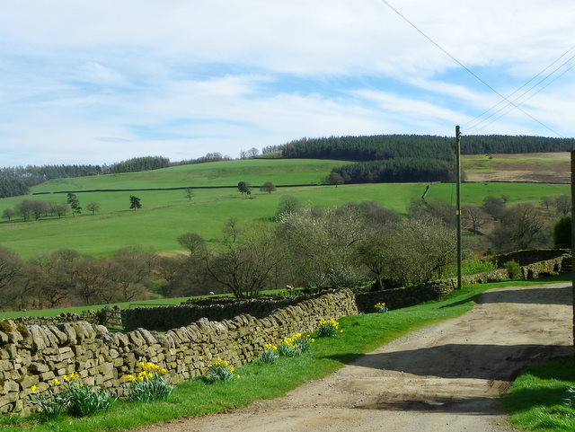
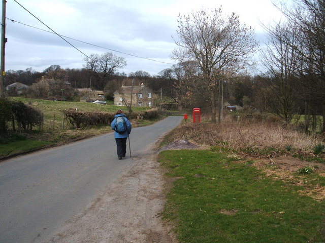
Clints Hill is a favorite destination for nature lovers and outdoor enthusiasts. The area offers numerous walking trails and paths that allow visitors to explore the hill and its surroundings. These trails offer stunning vistas of the Howardian Hills, with their patchwork of fields, woodlands, and charming villages.

At the summit of Clints Hill, visitors are rewarded with panoramic views that stretch for miles. On clear days, it is possible to see as far as the Vale of York and the distant North York Moors. The hilltop also serves as an excellent spot for picnics or simply taking in the tranquility of the countryside.

Overall, Clints Hill is a natural gem within Yorkshire, providing visitors with an opportunity to immerse themselves in the beauty of the British countryside and appreciate the diverse and breathtaking landscapes that the region has to offer.

If you have any feedback on the listing, please let us know in the comments section below.
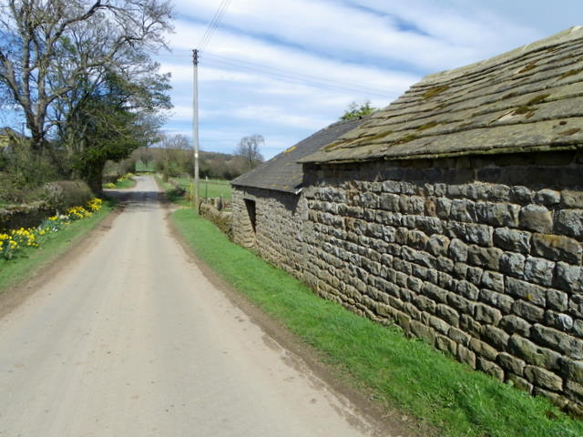
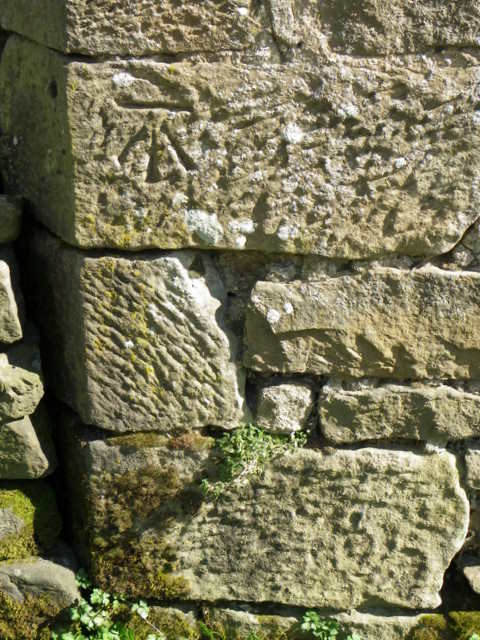
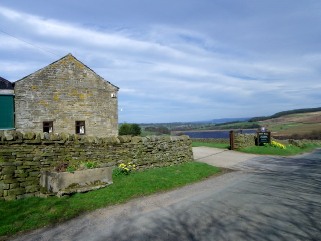
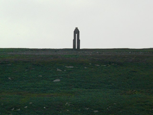
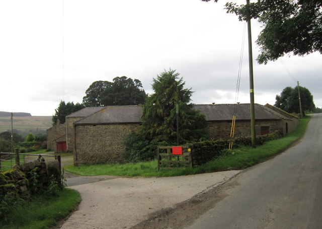
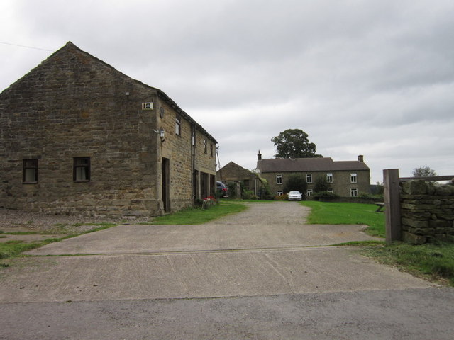
Clints Hill Images

Images are sourced within 2km of 54.195392/-1.7445243 or Grid Reference SE1677. Thanks to Geograph Open Source API. All images are credited.

Fishing on Leighton Reservoir The lake covers approximately 100 acres and in places is up to 100 feet deep.
Although not in Nidderdale, the reservoir is within the Nidderdale Area of Outstanding Natural Beauty and it takes its name from the nearby village of Leighton.
Fishing on Leighton Reservoir
The lake covers approximately 100 acres and in places is up to 100 feet deep. Although not in Nidderdale, the reservoir is within the Nidderdale Area of Outstanding Natural Beauty and it takes its name from the nearby village of Leighton.
Mole gibbet, Leighton Good to see bizarre medieval practices alive and well in Yorkshire.
Mole gibbet, Leighton
Good to see bizarre medieval practices alive and well in Yorkshire.
Mole gibbet, Leighton Molehills were very noticeable in many of the fields in this area of Yorkshire. This farmer is waging war against them and has exhibited the little black bodies on the fence. The moles are mainly killed using scissor traps or tunnel traps.
Mole gibbet, Leighton
Molehills were very noticeable in many of the fields in this area of Yorkshire. This farmer is waging war against them and has exhibited the little black bodies on the fence. The moles are mainly killed using scissor traps or tunnel traps.
Pasture near Leighton The fields in the area are mainly used for sheep grazing.
Pasture near Leighton
The fields in the area are mainly used for sheep grazing.
Drive, Leighton Hall Farm The driveway has a colourful display of daffodils along it.
Drive, Leighton Hall Farm
The driveway has a colourful display of daffodils along it.
Minor road, Leighton Hall Farm The minor road passes the farm buildings.  There is an Ordnance Survey bench mark on the building.
Minor road, Leighton Hall Farm
The minor road passes the farm buildings. There is an Ordnance Survey bench mark on the building.
Bench Mark, Leighton Hall The bench mark is on the north west angle of the farm building.  For a view of the building <a href="https://www.geograph.org.uk/photo/2551703">SE1679 : Minor road, Leighton Hall Farm</a> and for further information on the bench mark and others in the area <span class="nowrap"><a title="http://www.bench-marks.org.uk/bm39121" rel="nofollow ugc noopener" href="http://www.bench-marks.org.uk/bm39121">Link</a><img style="margin-left:2px;" alt="External link" title="External link - shift click to open in new window" src="https://s1.geograph.org.uk/img/external.png" width="10" height="10"/></span>
Bench Mark, Leighton Hall
The bench mark is on the north west angle of the farm building. For a view of the building SE1679 : Minor road, Leighton Hall Farm and for further information on the bench mark and others in the area LinkExternal link
Bridge, Leighton Reservoir The lake covers approximately 100 acres and in places is up to 100 feet deep.

Although not in Nidderdale, the reservoir is within the Nidderdale Area of Outstanding Natural Beauty and it takes its name from the nearby village of Leighton.
Bridge, Leighton Reservoir
The lake covers approximately 100 acres and in places is up to 100 feet deep. Although not in Nidderdale, the reservoir is within the Nidderdale Area of Outstanding Natural Beauty and it takes its name from the nearby village of Leighton.
Fishing on Leighton Reservoir The lake covers approximately 100 acres and in places is up to 100 feet deep.
 
Although not in Nidderdale, the reservoir is within the Nidderdale Area of Outstanding Natural Beauty and it takes its name from the nearby village of Leighton.
Fishing on Leighton Reservoir
The lake covers approximately 100 acres and in places is up to 100 feet deep. Although not in Nidderdale, the reservoir is within the Nidderdale Area of Outstanding Natural Beauty and it takes its name from the nearby village of Leighton.
Entrance to Pott Hall Farm Pott Hall is a working farm with both sheep and cattle.  There are also two holiday cottages one of which has an Ordnance Survey bench mark on it.
Entrance to Pott Hall Farm
Pott Hall is a working farm with both sheep and cattle. There are also two holiday cottages one of which has an Ordnance Survey bench mark on it.
Bench Mark, Pott Hall The Ordnance Survey bench mark is to be found on the south east angle of the building.  For a view of the building <a href="https://www.geograph.org.uk/photo/2552242">SE1578 : Entrance to Pott Hall Farm</a> and for further information on the cut mark and others in the area <span class="nowrap"><a title="http://www.bench-marks.org.uk/bm39149" rel="nofollow ugc noopener" href="http://www.bench-marks.org.uk/bm39149">Link</a><img style="margin-left:2px;" alt="External link" title="External link - shift click to open in new window" src="https://s1.geograph.org.uk/img/external.png" width="10" height="10"/></span>
Bench Mark, Pott Hall
The Ordnance Survey bench mark is to be found on the south east angle of the building. For a view of the building SE1578 : Entrance to Pott Hall Farm and for further information on the cut mark and others in the area LinkExternal link
Grazing land near Pott Hall Sheep graze on the small fields on the edge of the moor.
Grazing land near Pott Hall
Sheep graze on the small fields on the edge of the moor.
Colsterdale Sighting Tower, Leighton
Leighton Hall Farm
Leighton Hall Farm
The bridge over Leighton Reservoir
Leighton Reservoir
Leighton Reservoir
Pott Hall Farm on Pott Bank (road)
Wall below Clints Hill Between Clints Hill and Leighton Reservoir - winter still persists in spite of it being officially spring.
Wall below Clints Hill
Between Clints Hill and Leighton Reservoir - winter still persists in spite of it being officially spring.
Show me another place!

Clints Hill is located at Grid Ref: SE1677 (Lat: 54.195392, Lng: -1.7445243)

Division: North Riding

Administrative County: North Yorkshire

District: Harrogate

Police Authority: North Yorkshire

What 3 Words

///segmented.holiday.deployed. Near Masham, North Yorkshire

Nearby Locations

Clints Hill

Related Wikis

Leighton Reservoir

Leighton Reservoir is a reservoir which drains via the River Burn to the River Ure in North Yorkshire, England. It neighbours Roundhill Reservoir and is...

Leighton, North Yorkshire

Leighton is a hamlet in the civil parish of Healey in the Harrogate district of North Yorkshire, England. It is near Leighton Reservoir that provides for...

Roundhill Reservoir

Roundhill Reservoir is situated near Leighton Reservoir in North Yorkshire, England. It was constructed by Harrogate Corporation early in the 20th century...

Ilton, North Yorkshire

Ilton is a village in North Yorkshire, England, 3 miles south-west of Masham. It is the principal settlement in the civil parish of Ilton cum Pott, in...

Healey, North Yorkshire

Healey is a small village and civil parish in the Harrogate district of North Yorkshire, England. It is situated in the valley of the River Burn, to the...

Colsterdale Light Railway

The Colsterdale Light Railway (CLR) was a narrow-gauge railway line in Colsterdale, North Yorkshire, England. It was built between 1903 and 1905 to allow...

Gollinglith Foot

Gollinglith Foot (GOWN-li FOOT), historically also spelt Gownley Foot, is a hamlet in the civil parish of Healey in the Harrogate district of North Yorkshire...

Warthermarske

Warthermarske is a hamlet in the Harrogate borough of North Yorkshire, England. It is near Swinton, about 1 mile (2 km) south-west of Masham. The village...

Nearby Amenities

Located within 500m of 54.195392,-1.7445243
Clints Hill
Is In: UK,Yorkshire,North Yorkshire,Nidderdale
Is In Country: UK
Is In County: North Yorkshire
Is In Historical County: Yorkshire
Natural: peak
Source: NPE
Lat/Long: 54.1950798/-1.7451646
The data included in this document is from www.openstreetmap.org. The data is made available under ODbL.

Have you been to Clints Hill?

Leave your review of Clints Hill below (or comments, questions and feedback).