Scotch Hill
Hill, Mountain in Staffordshire East Staffordshire
England
Scotch Hill
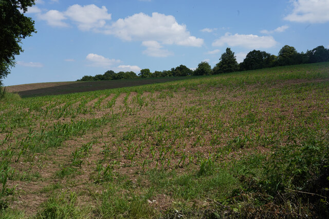
Scotch Hill, located in the county of Staffordshire, England, is a prominent hill that forms part of the picturesque landscape in the region. Standing at an elevation of approximately 272 meters (892 feet), it offers stunning panoramic views of the surrounding countryside.
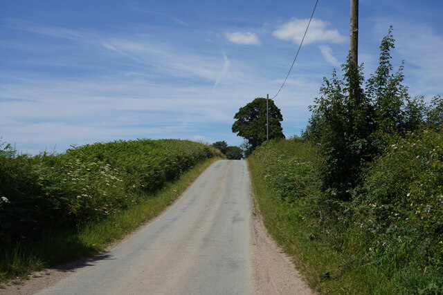
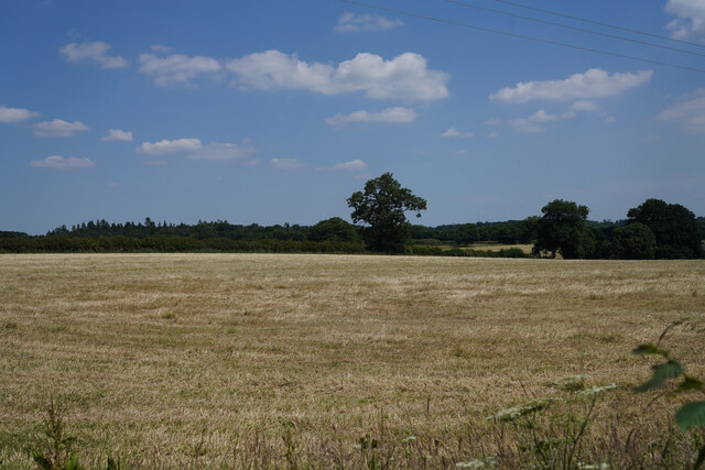
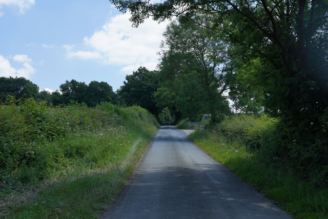
This hill is situated within the Staffordshire Moorlands district, near the village of Alton. It is predominantly composed of sandstone, which gives it a distinctive reddish hue. The area surrounding Scotch Hill is characterized by rolling hills, lush green fields, and scattered woodlands, creating a tranquil and idyllic setting.
Scotch Hill is renowned for its natural beauty and has become a popular destination for outdoor enthusiasts. Hiking and walking trails traverse the hill, allowing visitors to explore the scenic surroundings and enjoy the fresh countryside air. The summit of Scotch Hill offers an excellent vantage point, enabling visitors to appreciate the vast expanse of Staffordshire and its neighboring counties.
The hill is also home to a variety of wildlife, including birds, rabbits, and deer, making it an attractive spot for nature lovers and photographers alike. The peaceful ambiance and unspoiled natural environment of Scotch Hill make it an ideal location for those seeking solitude and tranquility.
Overall, Scotch Hill in Staffordshire is a picturesque and serene destination, offering breathtaking views, recreational opportunities, and a chance to immerse oneself in the beauty of the English countryside.
If you have any feedback on the listing, please let us know in the comments section below.
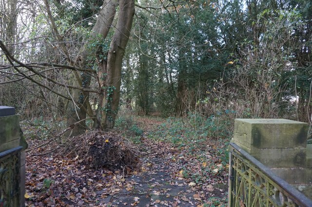
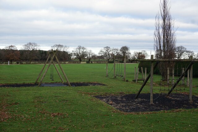
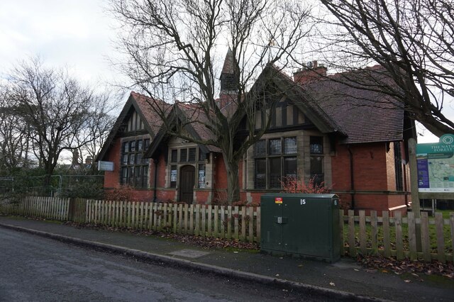
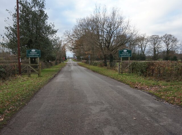
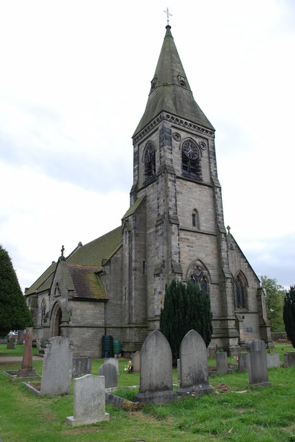
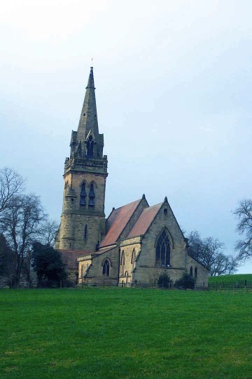
Scotch Hill Images
Images are sourced within 2km of 52.797349/-1.7576036 or Grid Reference SK1622. Thanks to Geograph Open Source API. All images are credited.


Scotch Hill is located at Grid Ref: SK1622 (Lat: 52.797349, Lng: -1.7576036)
Administrative County: Staffordshire
District: East Staffordshire
Police Authority: Staffordshire
What 3 Words
///clear.dancer.backtrack. Near Yoxall, Staffordshire
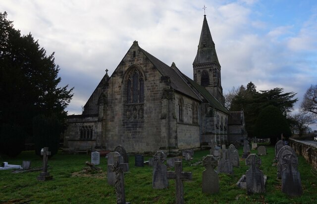
Nearby Locations
Related Wikis

Brankley Pastures
Brankley Pastures is a nature reserve of the Staffordshire Wildlife Trust. It is about 2.5 miles (4.0 km) miles north-west of Barton-under-Needwood, in...
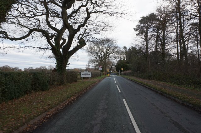
Rangemore
Rangemore is a village in the borough of East Staffordshire, situated approximately 4 miles (6 km) west of the town of Burton upon Trent, on a ridge of...

Byrkley Lodge
Byrkley Lodge was a country house and later racing horse stud farm, located close to Burton on Trent, Staffordshire. Demolished in 1953, its former grounds...
St George's Park National Football Centre
St George's Park (SGP) is the English Football Association's national football centre (NFC) built on a 330-acre (130 ha) site at Burton upon Trent, Staffordshire...
Tatenhill Airfield
Tatenhill Airfield (ICAO: EGBM) is a licensed airfield operated by Tatenhill Aviation Ltd. Its CAA Ordinary Licence (Number P813) allows flights for the...
RAF Tatenhill
RAF Tatenhill is a former Royal Air Force satellite airfield in Tatenhill, Staffordshire, England, 4 NM (7.4 km; 4.6 mi) west of Burton on Trent. It was...
Dunstall
Dunstall is a small village and civil parish in the borough of East Staffordshire, Staffordshire, England. It lies between Burton upon Trent and Barton...

Hoar Cross
Hoar Cross is a small village and civil parish in the Borough of East Staffordshire, situated approximately 7 miles (11 km) west of Burton upon Trent....
Have you been to Scotch Hill?
Leave your review of Scotch Hill below (or comments, questions and feedback).