Boxers' Hill
Hill, Mountain in Durham
England
Boxers' Hill

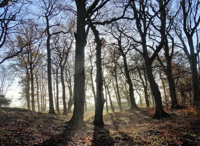
Boxers' Hill, located in Durham, England, is a prominent hill that offers breathtaking views of the surrounding landscape. Rising to an elevation of approximately 560 feet (170 meters), it is considered a notable landmark within the region. The hill is situated in the eastern part of Durham, near the small village of Sherburn Hill.
Boxers' Hill derives its name from the sport of boxing, as it was historically used as a training ground for local boxers. The hill's steep incline provided an ideal location for athletes to enhance their physical endurance and stamina. Today, it remains a popular spot for outdoor enthusiasts, hikers, and nature lovers.
The hill is primarily composed of limestone and offers a diverse range of flora and fauna. The surrounding area is rich in wildlife, with various species of birds, mammals, and insects inhabiting the region. As visitors ascend the hill, they are treated to stunning panoramic views of the Durham countryside, including rolling hills, lush green fields, and distant villages.
A footpath leads to the summit of Boxers' Hill, making it accessible for walkers of all abilities. The hill's location also provides an opportunity for visitors to explore nearby attractions, such as the historic city of Durham, with its iconic cathedral and castle, just a short distance away.
Overall, Boxers' Hill offers a unique blend of natural beauty, historical significance, and recreational opportunities, making it a must-visit destination for those exploring the Durham region.
If you have any feedback on the listing, please let us know in the comments section below.
Boxers' Hill Images
Images are sourced within 2km of 54.854549/-1.7596165 or Grid Reference NZ1551. Thanks to Geograph Open Source API. All images are credited.


Boxers' Hill is located at Grid Ref: NZ1551 (Lat: 54.854549, Lng: -1.7596165)
Unitary Authority: County Durham
Police Authority: Durham
What 3 Words
///compacts.instant.sloping. Near Annfield Plain, Co. Durham
Nearby Locations
Related Wikis
Greencroft
Greencroft is a village and separately a parish in County Durham, England. Together, they are situated between Lanchester and Annfield Plain. Greencroft...

Stony Heap
Stony Heap is a hamlet in County Durham, in England. It is situated between Leadgate and Annfield Plain. There used to be 6 houses and 2 farms plus the...

Catchgate
Catchgate is a former mining village in County Durham, England. It has a population of approximately 3,000 people. The nearest town is Stanley, also a...

Derwentside
Derwentside was, from 1974 to 2009, a local government district in County Durham, England. The district took its name from the River Derwent, which made...
Annfield Plain railway station
Annfield Plain railway station was in County Durham in Northern England, on the original south section of the industrial Stanhope and Tyne Railway, which...
Annfield Plain
Annfield Plain is a village in County Durham, in England. It is situated on a plateau between the towns of Stanley, 4 km (2.5 mi) to the north-east, and...
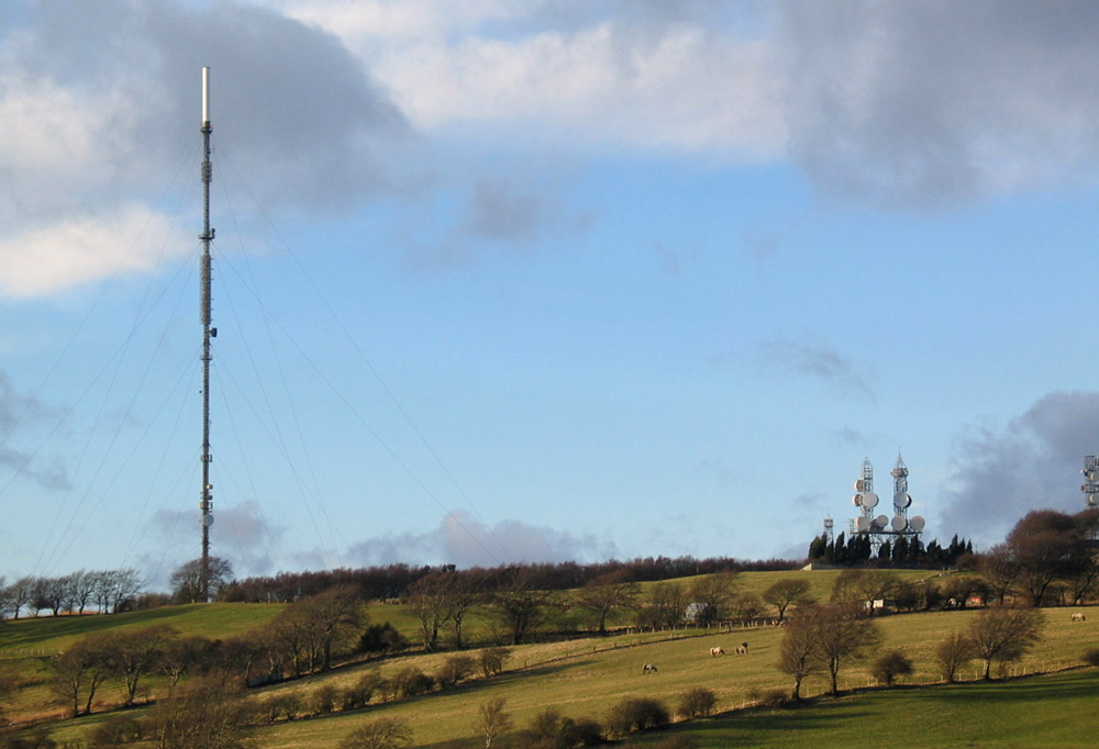
Pontop Pike transmitting station
The Pontop Pike transmitting station is a facility for telecommunications and broadcasting situated on a 312-metre (1,024-ft) high hill of the same name...
Green Croft and Langley Moor
'Green Croft and Langley Moor is a Site of Special Scientific Interest in the Derwentside district in north County Durham, England. It consists of three...
Nearby Amenities
Located within 500m of 54.854549,-1.7596165Have you been to Boxers' Hill?
Leave your review of Boxers' Hill below (or comments, questions and feedback).