Clearbury Ring
Heritage Site in Wiltshire
England
Clearbury Ring

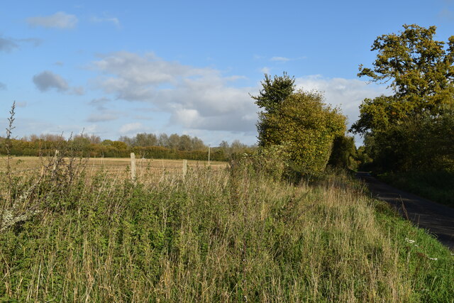
Clearbury Ring is an ancient hillfort located near the village of Downton in Wiltshire, England. This heritage site is situated on a chalk ridge, providing panoramic views of the surrounding countryside. It covers an area of approximately 2.7 hectares and is believed to have been constructed during the Iron Age, dating back to around 500 BC.
The hillfort is circular in shape and is surrounded by a series of earthwork ramparts and ditches, which were likely built as a defensive measure. The innermost rampart is the most substantial, with a height of around 5 meters in some areas. Excavations of the site have revealed evidence of occupation, including traces of roundhouses and storage pits.
Clearbury Ring is thought to have served as a settlement for a small farming community during the Iron Age. The location of the hillfort, on a prominent hilltop, would have provided its inhabitants with strategic advantages, such as being able to monitor the surrounding landscape for potential threats.
Today, Clearbury Ring is a popular destination for visitors interested in exploring its archaeological significance and enjoying the stunning views from its elevated position. The site is managed by English Heritage, who have implemented measures to preserve and protect the hillfort, ensuring its historical importance is maintained for future generations.
If you have any feedback on the listing, please let us know in the comments section below.
Clearbury Ring Images
Images are sourced within 2km of 51.019909/-1.7840858 or Grid Reference SU1524. Thanks to Geograph Open Source API. All images are credited.


Clearbury Ring is located at Grid Ref: SU1524 (Lat: 51.019909, Lng: -1.7840858)
Unitary Authority: Wiltshire
Police Authority: Wiltshire
What 3 Words
///sandpaper.feeds.resonated. Near Downton, Wiltshire
Nearby Locations
Related Wikis

Clearbury Ring
Clearbury Ring is a univallate Iron Age hillfort which is partly in the parish of Downton in the county of Wiltshire in south-west England, approximately...

Clearbury Down
Clearbury Down (grid reference SU152240) is a 13.3 hectare biological Site of Special Scientific Interest in Wiltshire, England. It is above the village...
Odstock Down
Odstock Down (grid reference SU139250) is a 12.1 hectare biological Site of Special Scientific Interest in Wiltshire, England, above the village of Odstock...

Odstock
Odstock is a village and civil parish 3 miles (4.8 km) south of Salisbury in Wiltshire, England. The parish includes the village of Nunton with its nearby...

Nunton
Nunton is a small village and former civil parish in Wiltshire, England, about 2.5 miles (4.0 km) south-east of Salisbury, which has been part of Odstock...
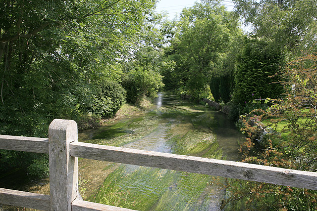
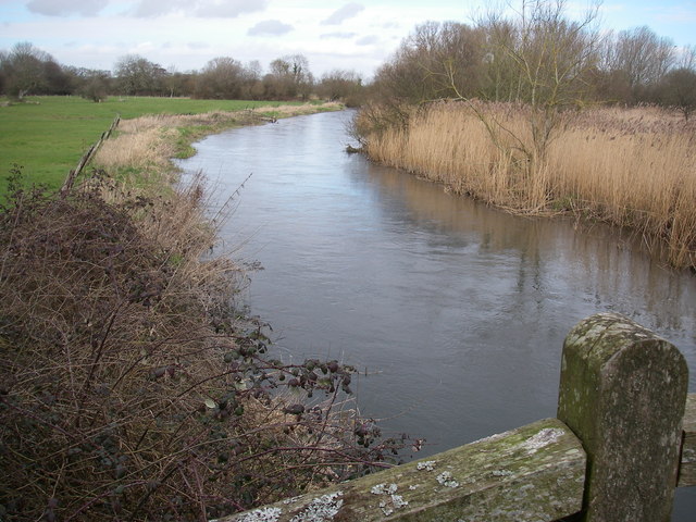
River Ebble
The River Ebble is one of the five rivers of the English city of Salisbury. Rising at Alvediston to the west of the city, it joins the River Avon at Bodenham...

Charlton-All-Saints
Charlton-All-Saints is a hamlet in the civil parish of Downton, in South Wiltshire, England. It lies immediately west of the River Avon, about 1.5 mi...
River Avon System
River Avon System is a 475.9-hectare (1,176-acre) biological Site of Special Scientific Interest in Hampshire and Wiltshire, southern England. It is a...
Nearby Amenities
Located within 500m of 51.019909,-1.7840858Have you been to Clearbury Ring?
Leave your review of Clearbury Ring below (or comments, questions and feedback).