Binsal Hill

Hill, Mountain in Northumberland

England

Binsal Hill

Minor Road to Rayheugh
Minor Road to Rayheugh Credit: David Dixon

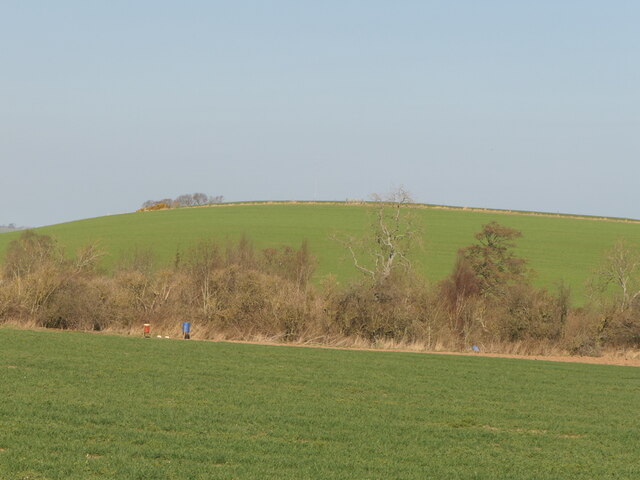
Binsal Hill is a prominent hill located in Northumberland, a county in the northeast of England. Standing at an elevation of 424 meters (1,391 feet), it is considered one of the highest points in the region, offering breathtaking panoramic views of the surrounding countryside.

Situated within the North Pennines Area of Outstanding Natural Beauty, Binsal Hill is renowned for its rugged beauty and unspoiled landscapes. The hill is characterized by its rolling moorland, heather-covered slopes, and rocky outcrops, which provide a habitat for various wildlife species.

Hikers and nature enthusiasts are drawn to Binsal Hill due to its extensive network of walking trails, including the popular Pennine Way, which passes through the area. These paths allow visitors to explore the hill's diverse flora and fauna, as well as enjoy the tranquility of the countryside.

At the summit of Binsal Hill, a trig point marks the highest point, providing a perfect spot for visitors to soak in the stunning scenery. On clear days, it is possible to see as far as the Cheviot Hills to the north and the North Sea coastline to the east.

Binsal Hill is also steeped in history, with evidence of ancient settlements and Bronze Age burial mounds found in the vicinity. The hill's strategic location has made it an important landmark throughout history, with remnants of medieval fortifications still visible today.

Overall, Binsal Hill offers a unique combination of natural beauty, outdoor activities, and historical significance, making it a must-visit destination for those exploring Northumberland.

If you have any feedback on the listing, please let us know in the comments section below.
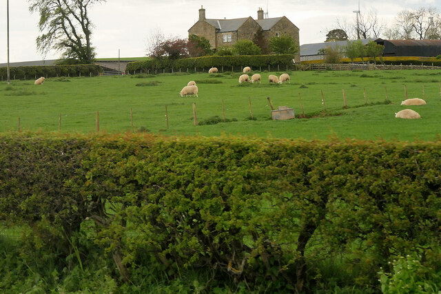
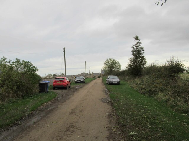
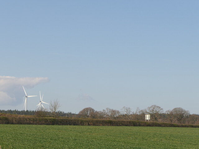
Binsal Hill Images

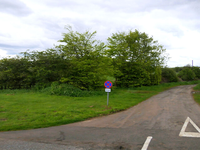
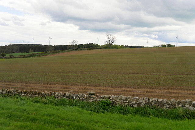
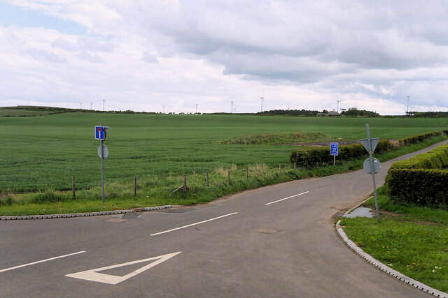
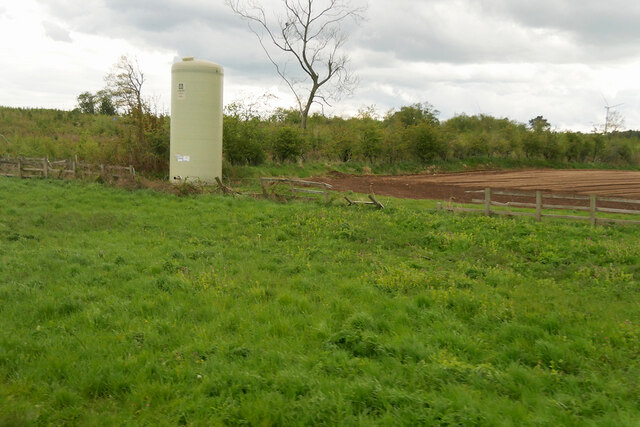
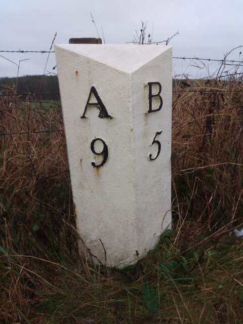
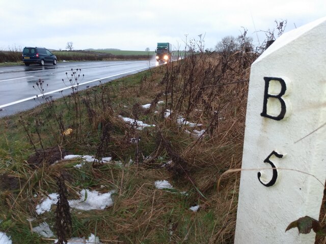
Images are sourced within 2km of 55.532159/-1.7608445 or Grid Reference NU1526. Thanks to Geograph Open Source API. All images are credited.

Minor Road to Rayheugh
Farmland west of the A1 near Rosebrough
Narrow Road off the A1
Storage Tank in a Field near Ellingham Yara Chafer storage tank for liquid fertiliser.
Storage Tank in a Field near Ellingham
Yara Chafer storage tank for liquid fertiliser.
Sheep in a Field near the A1 at Rosebrough
Rosebrough, The Rolling Pig Hog Roast and BBQ
Flash in Farmland A birding day and we came here to see a Wilson's Phalarope which is quite and there were several birders there.  Yes we did see it.
Flash in Farmland
A birding day and we came here to see a Wilson's Phalarope which is quite and there were several birders there. Yes we did see it.
Newstead Farm Cottages
Country Lane leading to Newstead
Binsal Hill Seen across Priest's Dean.
Binsal Hill
Seen across Priest's Dean.
A field across the A1 View from near Priest's Dean towards the A1.
A field across the A1
View from near Priest's Dean towards the A1.
Old Milepost by the A1, west of Ellingham Cast iron post by the A1, in parish of Adderstone with Lucker (Berwick upon Tweed District), East of Commonflat and West of Ellingham, 200m South of Newstead Road End, East of lay-by opposite, on grass verge back to wire fence, on Northeast side of road. AB bevel iron casting, erected by the Cow-causey & Buckton-Burn turnpike trust in the 19th century. 

Inscription reads:-
: A / 9 : : B / 5 :
(To Alnwick and Belford)

Grade II listed.
List Entry Number: 1206313 <span class="nowrap"><a title="https://historicengland.org.uk/listing/the-list/list-entry/1206313" rel="nofollow ugc noopener" href="https://historicengland.org.uk/listing/the-list/list-entry/1206313">Link</a><img style="margin-left:2px;" alt="External link" title="External link - shift click to open in new window" src="https://s1.geograph.org.uk/img/external.png" width="10" height="10"/></span>

Milestone Society National ID: NB_ANBF09
Old Milepost by the A1, west of Ellingham
Cast iron post by the A1, in parish of Adderstone with Lucker (Berwick upon Tweed District), East of Commonflat and West of Ellingham, 200m South of Newstead Road End, East of lay-by opposite, on grass verge back to wire fence, on Northeast side of road. AB bevel iron casting, erected by the Cow-causey & Buckton-Burn turnpike trust in the 19th century. Inscription reads:- : A / 9 : : B / 5 : (To Alnwick and Belford) Grade II listed. List Entry Number: 1206313 LinkExternal link Milestone Society National ID: NB_ANBF09
Old Milepost by the former A1, Rayheugh, south of Warenford Cast iron post by the UC road (was A1), in parish of Adderstone with Lucker (Berwick upon Tweed District), Rayheugh in loop of old road, against low stone wall under hedge, on East side of road. AB bevel iron casting, erected by the Cow-causey & Buckton-Burn turnpike trust in the 19th century. 

Inscription reads:-
: A / 10 : : B / 4 :
(To Alnwick and Belford)

Northumberland HER.
Reference number: N16857 <span class="nowrap"><a title="https://www.heritagegateway.org.uk/Gateway/Results_Single.aspx?uid=N16857&resourceID=110" rel="nofollow ugc noopener" href="https://www.heritagegateway.org.uk/Gateway/Results_Single.aspx?uid=N16857&resourceID=110">Link</a><img style="margin-left:2px;" alt="External link" title="External link - shift click to open in new window" src="https://s1.geograph.org.uk/img/external.png" width="10" height="10"/></span>

Milestone Society National ID: NB_ANBF10
Old Milepost by the former A1, Rayheugh, south of Warenford
Cast iron post by the UC road (was A1), in parish of Adderstone with Lucker (Berwick upon Tweed District), Rayheugh in loop of old road, against low stone wall under hedge, on East side of road. AB bevel iron casting, erected by the Cow-causey & Buckton-Burn turnpike trust in the 19th century. Inscription reads:- : A / 10 : : B / 4 : (To Alnwick and Belford) Northumberland HER. Reference number: N16857 LinkExternal link Milestone Society National ID: NB_ANBF10
Choose your route A minor crossroads with directions to Lucker, Seahouses, Ellingham and Alnwick.
Choose your route
A minor crossroads with directions to Lucker, Seahouses, Ellingham and Alnwick.
Newham Hagg An isolated farmhouse.
Newham Hagg
An isolated farmhouse.
Road south of Newstead Newstead farm buildings in the bacjground.
Road south of Newstead
Newstead farm buildings in the bacjground.
Show me another place!

Binsal Hill is located at Grid Ref: NU1526 (Lat: 55.532159, Lng: -1.7608445)

Unitary Authority: Northumberland

Police Authority: Northumbria

What 3 Words

///corrode.waffle.fracture. Near Ellingham, Northumberland

Nearby Locations

Binsal Hill

Related Wikis

Ellingham, Northumberland

Ellingham is a civil parish in Northumberland, England. The population taken at the 2001 Census was 282, increasing slightly to 288 at the 2011 Census...

Newham railway station

Newham railway station was a railway station that served the hamlet of Newham Hall, Northumberland, England from 1851 to 1950 on the East Coast Main Line...

Brownieside

Brownieside is a hamlet in Northumberland, in England. It is situated between Alnwick and Berwick-upon-Tweed, on the A1 a short distance to the north of...

Chathill

Chathill is a hamlet and former civil parish, now in the parish of Ellingham, in Northumberland, England. It is about 9 miles (14 km) north of Alnwick...

Nearby Amenities

Located within 500m of 55.532159,-1.7608445
Binsal Hill
Place: locality
Lat/Long: 55.531801/-1.7604236
Priest's Dean
Place: locality
Lat/Long: 55.5292321/-1.7579021
Barrier: stile
Foot: no
Lat/Long: 55.5357832/-1.764678
The data included in this document is from www.openstreetmap.org. The data is made available under ODbL.

Have you been to Binsal Hill?

Leave your review of Binsal Hill below (or comments, questions and feedback).