Cackle Hill
Hill, Mountain in Derbyshire Derbyshire Dales
England
Cackle Hill
Cackle Hill is a prominent hill located in Derbyshire, England. Situated in the Peak District National Park, it forms part of the picturesque landscape that attracts tourists and nature enthusiasts alike. With an elevation of approximately 400 meters (1,312 feet), it is considered a notable landmark in the region.
The hill's name, Cackle Hill, is derived from the Old English word "cackle," which means a loud, raucous noise. This name is believed to originate from the cacophony of bird sounds that can be heard in the area, particularly during the breeding season.
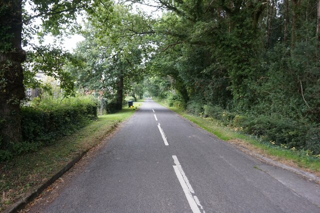
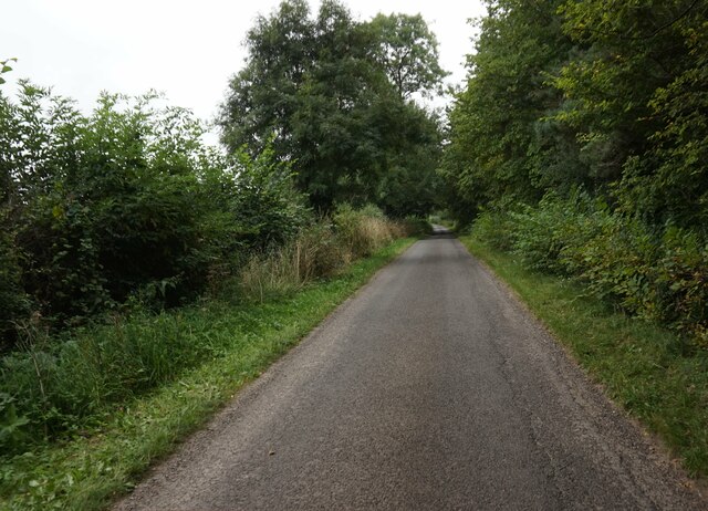
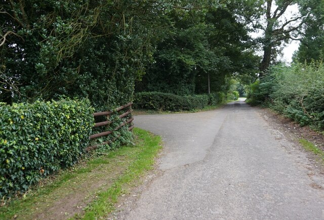
Cackle Hill offers stunning panoramic views of the surrounding countryside, with its slopes covered in lush green vegetation during the summer months. It is a popular destination for walkers, hikers, and photographers, who can enjoy the breathtaking vistas and capture the natural beauty of the area.
The hill is also home to a variety of wildlife, including birds, rabbits, and foxes. Rare species of plants can also be found on its slopes, adding to its ecological significance.
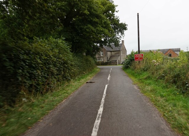
Access to Cackle Hill is relatively easy, with several footpaths and trails leading to its summit. The climb is considered moderate in difficulty, making it suitable for both experienced hikers and casual visitors.
Overall, Cackle Hill in Derbyshire stands as a picturesque and ecologically diverse destination that offers visitors the chance to immerse themselves in the stunning natural beauty of the Peak District National Park.
If you have any feedback on the listing, please let us know in the comments section below.
Cackle Hill Images
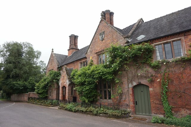
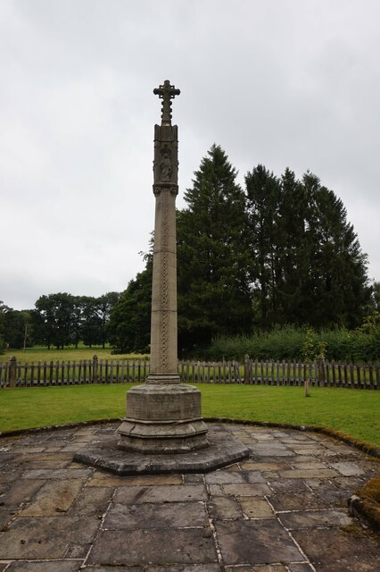
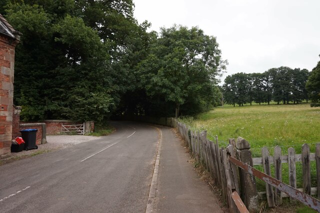
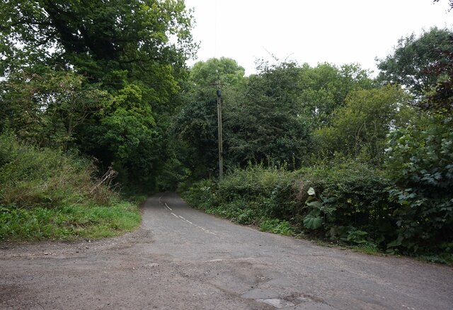
Images are sourced within 2km of 52.984686/-1.7753998 or Grid Reference SK1543. Thanks to Geograph Open Source API. All images are credited.
Cackle Hill is located at Grid Ref: SK1543 (Lat: 52.984686, Lng: -1.7753998)
Administrative County: Derbyshire
District: Derbyshire Dales
Police Authority: Derbyshire
What 3 Words
///scaffold.pastels.overused. Near Mayfield, Staffordshire
Nearby Locations
Related Wikis

Roston
Roston is a hamlet in Derbyshire, England. It is located north of Rocester. The Roston Inn (known locally as 'The Shant') is at the junction of Mill Lane...
Snelston
Snelston is a village and civil parish three miles south-west of Ashbourne in Derbyshire, England. It includes Anacrehill. The population of the civil...

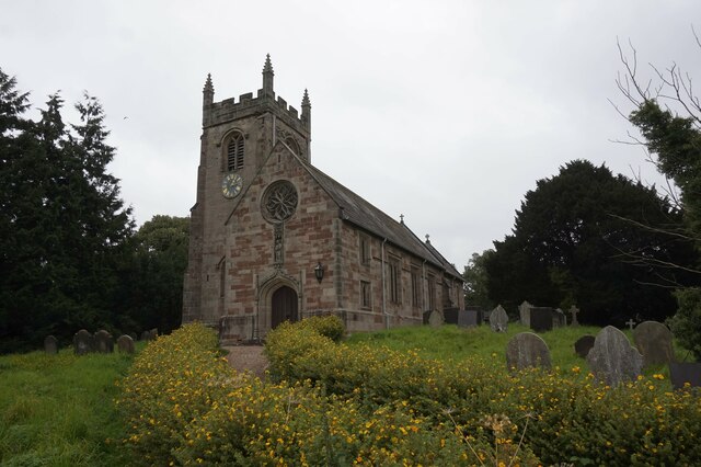
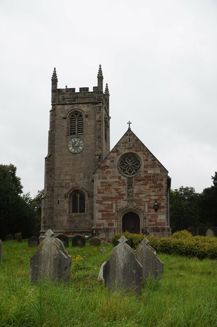
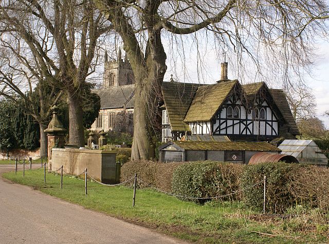
St Peter's Church, Snelston
St Peter's Church, Snelston is a Grade II* listed parish church in the Church of England: 319 in Snelston, Derbyshire. == History == The church dates...

Anacrehill
Anacrehill is an area of Snelston parish, to the south of the village. The area contains a small number of cottages and farmhouses located on Virginsalley...
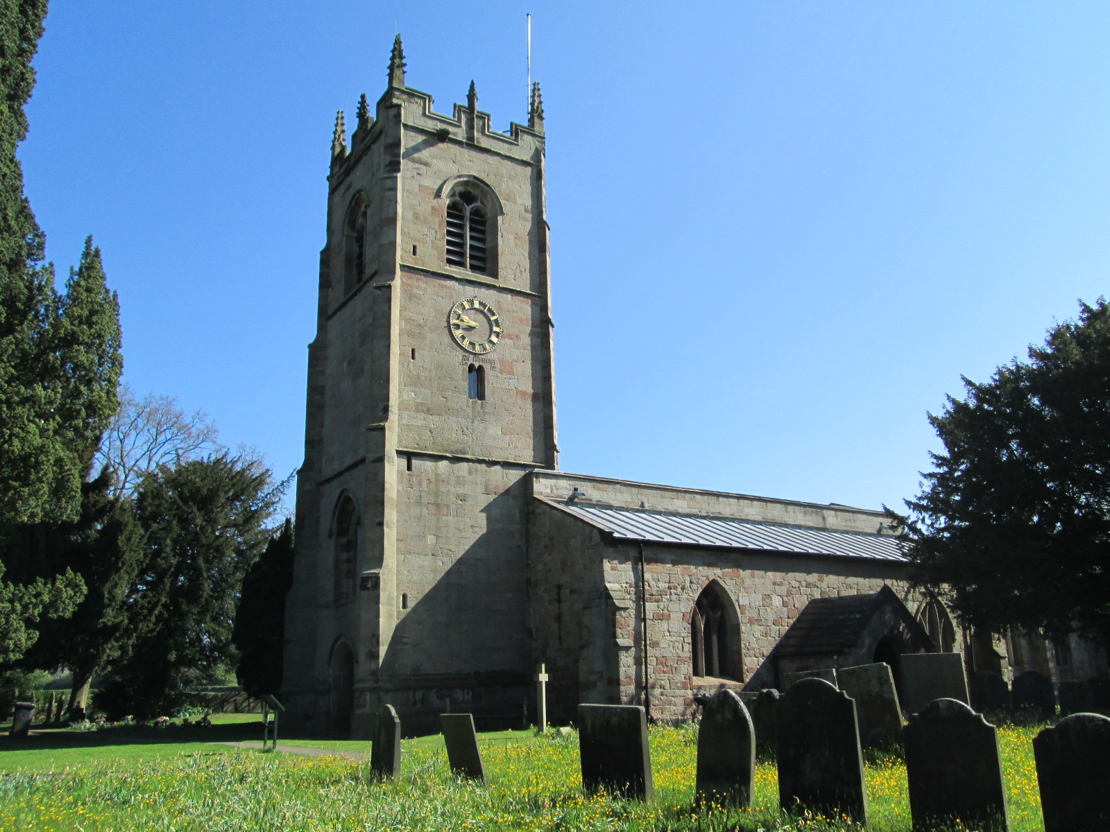
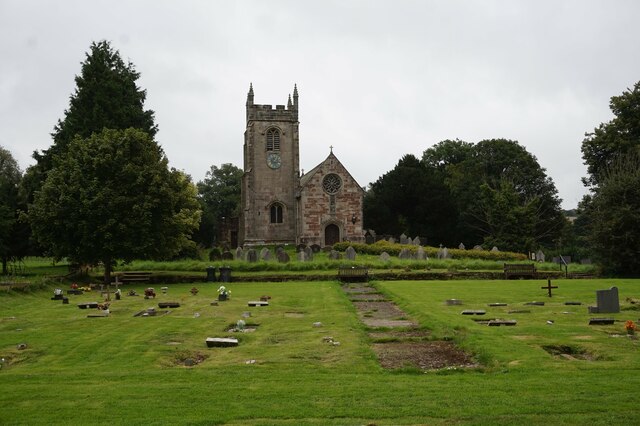
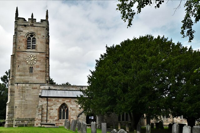
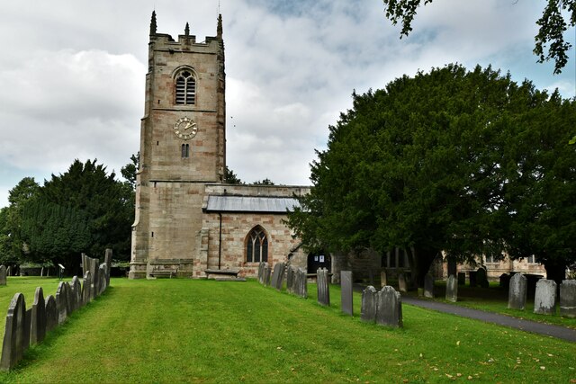
St John the Baptist's Church, Mayfield
St John the Baptist's Church is an Anglican church in the village of Mayfield, Staffordshire, England. It is a Grade I listed building. The core is a Norman...

Henmore Brook
The Henmore Brook or the River Henmore is a tributary of the River Dove in Derbyshire, England, and is 20 km (12 miles) in length.In its upper reaches...

Clifton (Mayfield) railway station
Clifton (Mayfield) railway station was opened on 3 May 1852 by the North Staffordshire Railway at Clifton on the southern fringes of Ashbourne, Derbyshire...

Calwich Abbey
Calwich Abbey, previously Calwich Priory, was in turn the name of a medieval Augustinian priory and two successive country houses built on the same site...
Nearby Amenities
Located within 500m of 52.984686,-1.7753998Have you been to Cackle Hill?
Leave your review of Cackle Hill below (or comments, questions and feedback).