Burnt Hill
Hill, Mountain in Yorkshire Harrogate
England
Burnt Hill

Burnt Hill, located in Yorkshire, is a prominent hill that forms part of the Pennine range in England. Rising to an elevation of approximately 1,420 feet (433 meters), it is considered a significant landmark in the region. Situated in the midst of the stunning Yorkshire Dales National Park, Burnt Hill offers breathtaking panoramic views of the surrounding countryside.
The hill's name, Burnt Hill, is derived from the presence of burnt heather on its slopes, a common sight in the area due to controlled moorland burning practices. This process helps to promote the growth of new heather shoots, benefiting the local ecosystem.
Burnt Hill is a popular destination for hikers, nature enthusiasts, and adventure seekers alike. Its diverse terrain, consisting of steep slopes, rocky outcrops, and grassy meadows, offers a challenging yet rewarding experience for those venturing to its summit. Many well-marked trails and footpaths traverse the hill, making it accessible for both novice and experienced walkers.
Wildlife is abundant in the area surrounding Burnt Hill, with sightings of various bird species, including peregrine falcons and curlews. Additionally, the hill is home to a variety of plant species, such as bilberry and cotton grass, which flourish in the upland environment.
Visitors to Burnt Hill can revel in the tranquility and natural beauty of the Yorkshire Dales, while also enjoying the opportunity to engage in outdoor activities such as hiking, birdwatching, and photography. The hill serves as a testament to the awe-inspiring landscapes that Yorkshire has to offer.
If you have any feedback on the listing, please let us know in the comments section below.
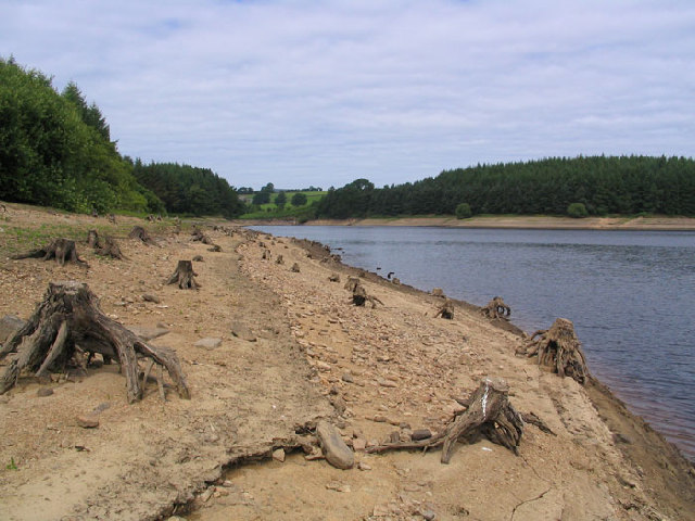
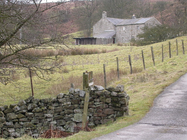
Burnt Hill Images
Images are sourced within 2km of 54.007854/-1.7738854 or Grid Reference SE1456. Thanks to Geograph Open Source API. All images are credited.


Burnt Hill is located at Grid Ref: SE1456 (Lat: 54.007854, Lng: -1.7738854)
Division: West Riding
Administrative County: North Yorkshire
District: Harrogate
Police Authority: North Yorkshire
What 3 Words
///food.roadblock.drew. Near Pateley Bridge, North Yorkshire
Nearby Locations
Related Wikis

Thruscross Reservoir
Thruscross Reservoir is the northernmost of four reservoirs in the Washburn valley, lying north of Otley and west of Harrogate in North Yorkshire, England...

Thruscross
Thruscross is a small settlement and civil parish in the Harrogate district of North Yorkshire, England. It lies in the Washburn Valley, 11 miles (18...

Kex Gill Bypass
The Kex Gill Bypass is a future stretch of A-road across Kex Gill Moor to Blubberhouses in North Yorkshire, England. The route is part of the A59 road...

Blubberhouses
Blubberhouses is a small village and civil parish in the Washburn Valley in North Yorkshire, England. The population as at the 2011 Census was less than...

Thornthwaite, North Yorkshire
Thornthwaite is a small village in the Harrogate district of North Yorkshire, England. It lies in the valley of Padside Beck, a side valley on the south...

HMS Forest Moor
HMS Forest Moor was a Royal Navy land base located in Nidderdale in the borough of Harrogate, North Yorkshire, England. == History == The establishment...

Fewston Reservoir
Fewston Reservoir is located in the Washburn valley north of Otley and west of Harrogate in Yorkshire, England. It was built in 1879. The capacity is about...

Fewston
Fewston is a village and civil parish in the Harrogate district of North Yorkshire, England. It is situated north of Otley and close to Swinsty and Fewston...
Nearby Amenities
Located within 500m of 54.007854,-1.7738854Have you been to Burnt Hill?
Leave your review of Burnt Hill below (or comments, questions and feedback).