Skinners Hill
Hill, Mountain in Gloucestershire Cotswold
England
Skinners Hill

Skinners Hill is a prominent hill located in Gloucestershire, England. Situated in the picturesque Cotswolds region, it forms part of the stunning landscape that characterizes this area. With an elevation of approximately 305 meters (1,000 feet), Skinners Hill offers breathtaking panoramic views of the surrounding countryside.
The hill is primarily composed of limestone, which is a common geological feature in the Cotswolds. This natural composition contributes to the unique charm and beauty of the area. The landscape is characterized by rolling hills, lush green fields, and scattered woodlands, creating a peaceful and idyllic setting.
Skinners Hill is a popular destination for outdoor enthusiasts and nature lovers. It offers a variety of walking trails and hiking routes, allowing visitors to explore the surrounding countryside and enjoy the stunning vistas. The hill's summit provides an excellent vantage point, offering uninterrupted views of the Cotswolds' stunning natural beauty.
The area surrounding Skinners Hill is also rich in wildlife, including various bird species, mammals, and flora. It is not uncommon to spot deer, foxes, and numerous bird species during a visit to the hill.
For those interested in history, Skinners Hill has its own historical significance. It is known to have been used as a settlement site in ancient times, with remnants of prehistoric earthworks and burial mounds found in the vicinity.
Overall, Skinners Hill in Gloucestershire is a remarkable natural feature, offering visitors a chance to immerse themselves in the beauty of the Cotswolds' countryside, experience its rich wildlife, and delve into its ancient history.
If you have any feedback on the listing, please let us know in the comments section below.
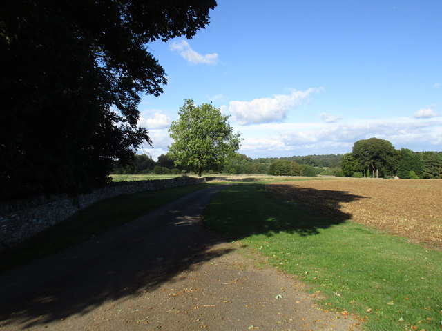
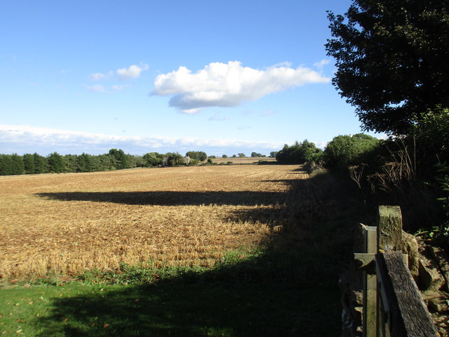
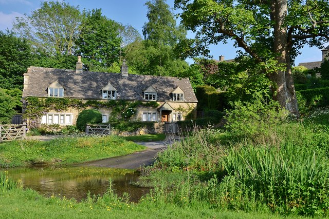
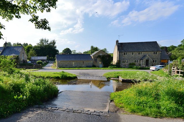
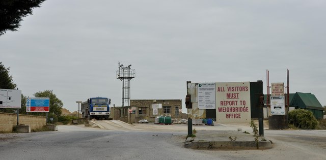
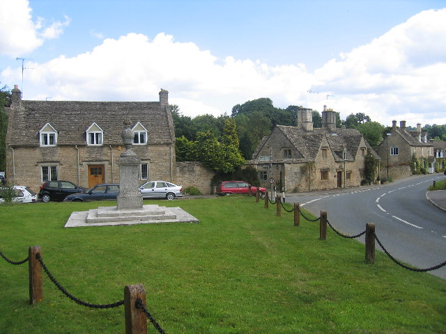
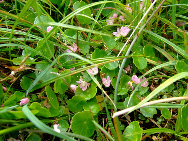
Skinners Hill Images
Images are sourced within 2km of 51.923876/-1.7867903 or Grid Reference SP1425. Thanks to Geograph Open Source API. All images are credited.


Skinners Hill is located at Grid Ref: SP1425 (Lat: 51.923876, Lng: -1.7867903)
Administrative County: Gloucestershire
District: Cotswold
Police Authority: Gloucestershire
What 3 Words
///sheets.fells.remaking. Near Stow on the Wold, Gloucestershire
Nearby Locations
Related Wikis

Upper Slaughter
Upper Slaughter is a village in the Cotswold district of Gloucestershire, England, 4 miles (6.4 km) south west of Stow-on-the-Wold. The village lies off...

Lower Slaughter
Lower Slaughter is a village in the Cotswold district of Gloucestershire, England, 4 miles (6.4 km) south west of Stow-on-the-Wold. The village is built...
Huntsman's Quarry
Huntsman's Quarry (grid reference SP125259) is a 1.6-hectare (4.0-acre) geological Site of Special Scientific Interest in Gloucestershire, notified in...
Lower Swell
Lower Swell is a village and former civil parish, now in the parish of Swell, in the Cotswold district, in the county of Gloucestershire, England. It is...
Lower Swell War Memorial
Lower Swell War Memorial is a First World War memorial in the centre of the village of Lower Swell in Gloucestershire in south-western England. The memorial...
Brassey SSSI
Brassey (grid reference SP139223) is a 2.1-hectare (5.2-acre) biological Site of Special Scientific Interest in Gloucestershire, notified in 1954 and renotified...

Condicote
Condicote is a small village in Gloucestershire, England. It is near the A424 road. It has a small church dedicated to St Nicholas. It has evidence of...

Swell, Gloucestershire
Swell is a civil parish in the Cotswold district, in the county of Gloucestershire, England. The population of the civil parish taken at the 2011 census...
Nearby Amenities
Located within 500m of 51.923876,-1.7867903Have you been to Skinners Hill?
Leave your review of Skinners Hill below (or comments, questions and feedback).