Gorsey Hill

Hill, Mountain in Staffordshire Lichfield

England

Gorsey Hill

St Bartholomews Church, Hints. Hints in Staffordshire is a quaint rural backwater just off the A5 west of Tamworth
St Bartholomews Church, Hints. Credit: Sam Styles

Gorsey Hill is a prominent landmark located in the county of Staffordshire, England. Situated near the village of Cheslyn Hay, it is a small hill that stands at an elevation of approximately 200 meters (656 feet) above sea level. While not classified as a mountain, it is often referred to as Gorsey Hill Mountain due to its prominence in the surrounding area.

The hill is characterized by its gently sloping sides, covered in a dense growth of gorse bushes, from which it derives its name. These vibrant yellow flowering shrubs provide a stunning display during the spring and summer months, attracting various species of butterflies and bees.

Gorsey Hill offers panoramic views of the surrounding Staffordshire countryside, with vistas stretching as far as the eye can see. On a clear day, it is possible to spot other notable landmarks such as Cannock Chase, the largest surviving area of lowland heathland in the country.

The hill is a popular destination for walkers, hikers, and nature enthusiasts, who enjoy exploring its tranquil surroundings and taking in the breathtaking scenery. A network of footpaths and trails allows visitors to navigate the area easily, while picnic spots provide a place to rest and enjoy a meal amidst the picturesque landscape.

Overall, Gorsey Hill, with its stunning views, abundant wildlife, and peaceful atmosphere, offers a serene escape for those seeking a connection with nature in the heart of Staffordshire.

If you have any feedback on the listing, please let us know in the comments section below.
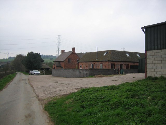
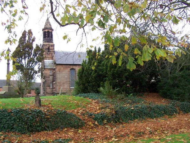
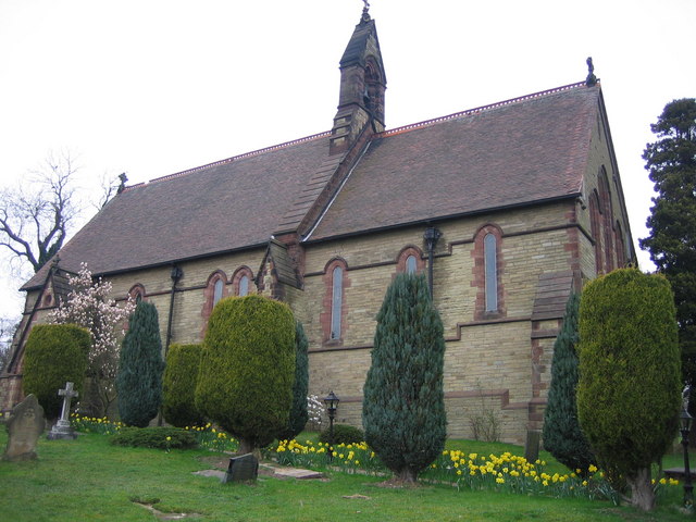
Gorsey Hill Images

Images are sourced within 2km of 52.620358/-1.7841503 or Grid Reference SK1402. Thanks to Geograph Open Source API. All images are credited.

St Bartholomews Church, Hints. Hints in Staffordshire is a quaint rural backwater just off the A5 west of Tamworth
St Bartholomews Church, Hints.
Hints in Staffordshire is a quaint rural backwater just off the A5 west of Tamworth
M6 main toll booths The main toll booths on the southbound M6 Toll Road
M6 main toll booths
The main toll booths on the southbound M6 Toll Road
Hints Church This small church is in a very quiet village. The surroundings are rural. The church is very near the Heart of England footpath.
Hints Church
This small church is in a very quiet village. The surroundings are rural. The church is very near the Heart of England footpath.
Rookery Farm The Heart of England Way passes between the buildings of this farm. There is very little sound of traffic here as the farm is quite distant from any roads.
Rookery Farm
The Heart of England Way passes between the buildings of this farm. There is very little sound of traffic here as the farm is quite distant from any roads.
Stile on the Heart of England Way This stile is the perfect resting place for lunch. Pheasants can be seen and heard along the edges of the woods.
Stile on the Heart of England Way
This stile is the perfect resting place for lunch. Pheasants can be seen and heard along the edges of the woods.
Stile near the old A5 Although there are lots of signs such as these on the Heart of England Way, there are places where a map is needed to decide which way to go.
Stile near the old A5
Although there are lots of signs such as these on the Heart of England Way, there are places where a map is needed to decide which way to go.
Bridge over the new A5. This is how the Heart of England Way crosses the new A5 bypass.
Bridge over the new A5.
This is how the Heart of England Way crosses the new A5 bypass.
Old A5 at Hints This road was once very busy. With the completion of the new A5 bypass the road has become much more pleasant.
Old A5 at Hints
This road was once very busy. With the completion of the new A5 bypass the road has become much more pleasant.
Sand and Gravel pit near Hints, Staffs.
M6 Toll at Weeford
M6 Toll at Weeford
Weeford, St. Mary Rebuilt in 1802
Weeford, St. Mary
Rebuilt in 1802
Rear of The Old Schoolhouse Restaurant Link  - <span class="nowrap"><a title="www.oldschoolhouse.co.uk" rel="nofollow ugc noopener" href="http://www.oldschoolhouse.co.uk">Link</a><img style="margin-left:2px;" alt="External link" title="External link - shift click to open in new window" src="https://s1.geograph.org.uk/img/external.png" width="10" height="10"/></span>
Rear of The Old Schoolhouse Restaurant
Link - LinkExternal link
Footbridge Near The Old Schoolhouse
Bridges over the Black Brook A sandstone bridge with concrete bridge behind carry the A38 dual carriageway. The more modern bridge leads up to the steel truss bridge carrying a bridleway over the A38. These new bridges have not yet been picked up on the OS mapping. I am told that the metal ledges are for otters who don't like getting their feet wet when it floods!
Bridges over the Black Brook
A sandstone bridge with concrete bridge behind carry the A38 dual carriageway. The more modern bridge leads up to the steel truss bridge carrying a bridleway over the A38. These new bridges have not yet been picked up on the OS mapping. I am told that the metal ledges are for otters who don't like getting their feet wet when it floods!
Blackbrook Antiques Village This farm and its outbuildings on the busy A38 are now used as an antiques saleroom.
Blackbrook Antiques Village
This farm and its outbuildings on the busy A38 are now used as an antiques saleroom.
New foot and bridleway bridge over A38 This bridge has not yet made the OS mapping. The steel plate decking will be particularly noisy for horses. Dismounting blocks have been provided on the approaches.
New foot and bridleway bridge over A38
This bridge has not yet made the OS mapping. The steel plate decking will be particularly noisy for horses. Dismounting blocks have been provided on the approaches.
Old entrance to Thickbroom Farm A narrow bridge over the Black Brook leads up to the farm.
Old entrance to Thickbroom Farm
A narrow bridge over the Black Brook leads up to the farm.
New entrance to Thickbroom Farm The farm has acquired a new entrance and river bridge as part of the accommodation works for the M6 Toll Motorway. Tree and hedge planting will soften the impact of the works in a few years.
New entrance to Thickbroom Farm
The farm has acquired a new entrance and river bridge as part of the accommodation works for the M6 Toll Motorway. Tree and hedge planting will soften the impact of the works in a few years.
Show me another place!

Gorsey Hill is located at Grid Ref: SK1402 (Lat: 52.620358, Lng: -1.7841503)

Administrative County: Staffordshire

District: Lichfield

Police Authority: Staffordshire

What 3 Words

///spurted.recently.income. Near Shenstone, Staffordshire

Nearby Locations

New Plantation Gorsey Hill

Related Wikis

Weeford

Weeford is a village and civil parish in the Lichfield district of Staffordshire, England. According to the 2011 Census, the parish had a population of...

Hints, Staffordshire

Hints is a small village and civil parish between Lichfield and Tamworth in southeastern Staffordshire, within Lichfield local government district. The...

Manley Hall, Staffordshire

Manley Hall (also known as Thickbroom Hall) was an English Tudor-style country house in Weeford, near Lichfield in Staffordshire. The house was built in...

Lichfield transmitting station

The Lichfield transmitting station is situated close to Tamworth in Staffordshire in the West Midlands between the A5 and A51. The nearest geographical...

Nearby Amenities

Located within 500m of 52.620358,-1.7841503
Barrier: stile
Foot: yes
Lat/Long: 52.6201083/-1.7843348
Barrier: stile
Lat/Long: 52.6185453/-1.7855975
Barrier: stile
Lat/Long: 52.6185572/-1.7852081
The data included in this document is from www.openstreetmap.org. The data is made available under ODbL.

Have you been to Gorsey Hill?

Leave your review of Gorsey Hill below (or comments, questions and feedback).