Bore Hill
Hill, Mountain in Yorkshire Harrogate
England
Bore Hill
Bore Hill is a prominent hill located in the county of Yorkshire in northern England. Situated in the picturesque Yorkshire Dales, it is part of the Pennines, a range of mountains and hills that stretch across the region. Bore Hill stands at an elevation of approximately 526 meters (1,726 feet) above sea level, making it one of the highest points in the area.
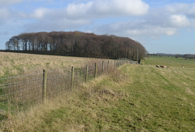
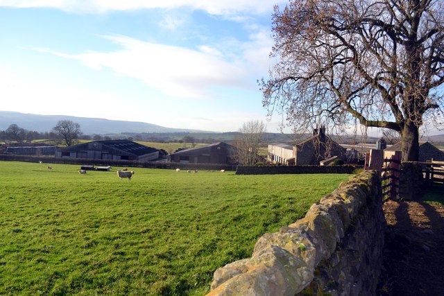
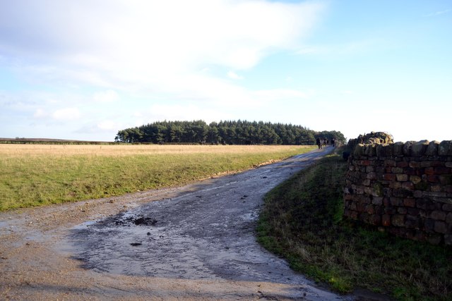
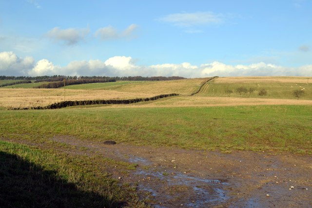
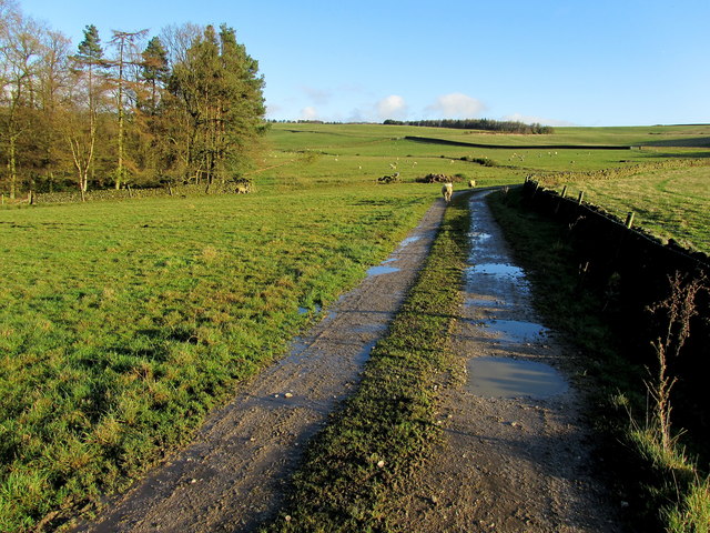
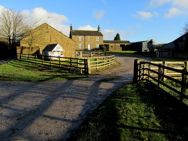
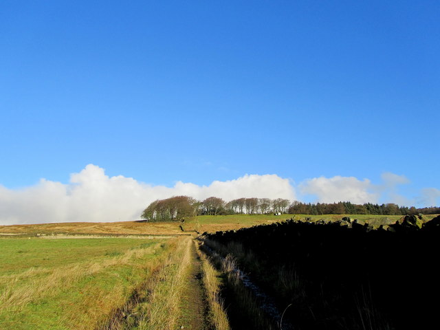
The hill is known for its stunning panoramic views of the surrounding countryside, offering vistas of rolling green fields, moorland, and distant peaks. On a clear day, it is possible to see as far as the North York Moors and the Lake District. Bore Hill is a popular destination for hikers and nature enthusiasts who are drawn to its natural beauty and tranquility.
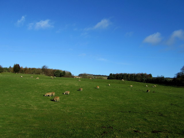
The area surrounding Bore Hill is rich in biodiversity, with flora and fauna unique to the Yorkshire Dales. Visitors may encounter various species of birds, including peregrine falcons and curlews, as well as wildflowers such as purple saxifrage and heather. The hill is also home to a variety of mammals, including rabbits and hares.
In addition to its natural attractions, Bore Hill has historical significance. It is believed to have been used as a burial ground during the Bronze Age, with several ancient burial mounds located nearby. The hill has also been used for grazing livestock for centuries, contributing to the agricultural heritage of the area.
Overall, Bore Hill offers a captivating blend of natural beauty, ecological diversity, and historical significance, making it a must-visit destination for those exploring the Yorkshire Dales.
If you have any feedback on the listing, please let us know in the comments section below.
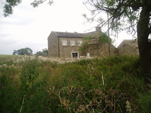
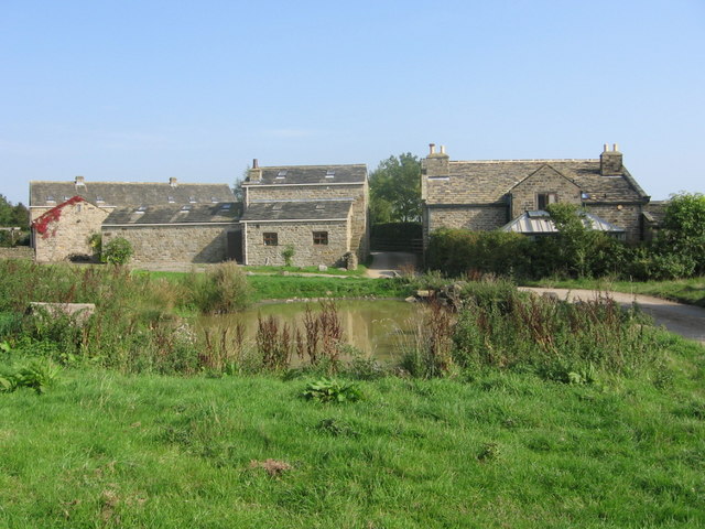
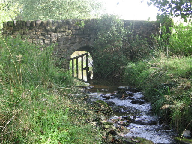
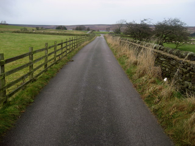
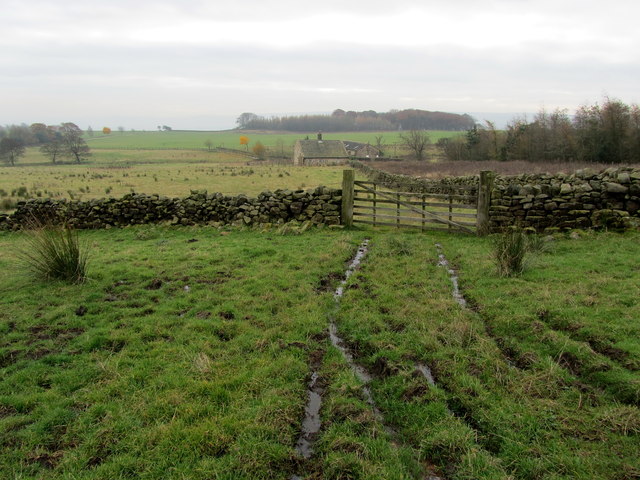
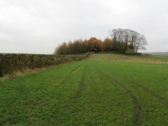
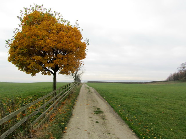
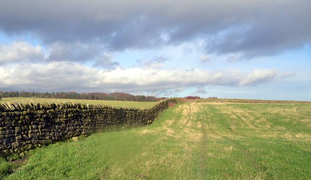
Bore Hill Images
Images are sourced within 2km of 53.942212/-1.785818 or Grid Reference SE1449. Thanks to Geograph Open Source API. All images are credited.


Bore Hill is located at Grid Ref: SE1449 (Lat: 53.942212, Lng: -1.785818)
Division: West Riding
Administrative County: North Yorkshire
District: Harrogate
Police Authority: North Yorkshire
What 3 Words
///banana.basket.absorb. Near Ilkley, West Yorkshire
Nearby Locations
Related Wikis

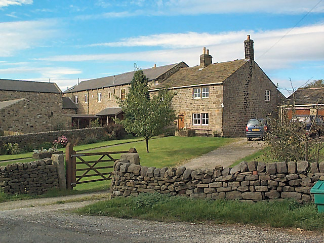
Denton, North Yorkshire
Denton is a hamlet and civil parish in the Harrogate district of North Yorkshire, England. At the 2011 Census the population of this civil parish was less...
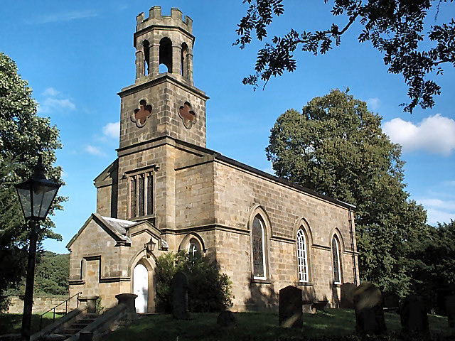
Church of St Helen, Denton
The Church of St Helen, Denton is a parish church in the hamlet of Denton, near Otley, in North Yorkshire, England. The church was built in 1776 by the...

Denton Hall, Wharfedale
Denton Hall is an English country house located to the north of the River Wharfe, at Denton, Borough of Harrogate, North Yorkshire, England between Otley...

Ilkley Town A.F.C.
Ilkley Town Association Football Club is a football club based in Ilkley, England. They are currently members of the North West Counties League Division...
Yorkshire Heritage Way
The Yorkshire Heritage Way is a 42-mile (68 km) footpath in northern England. It links the contrasting cities of Bradford in West Yorkshire and Ripon in...
Middleton-on-Wharfe
Middleton is a hamlet and civil parish in the Harrogate district of North Yorkshire, England. It is on the border with West Yorkshire and 1 mile north...

Ben Rhydding railway station
Ben Rhydding railway station serves the Ben Rhydding area of Ilkley, West Yorkshire; it is situated about a mile east of the town centre. It is on the...

Ben Rhydding
Ben Rhydding is a village in the City of Bradford, West Yorkshire, England. It is part of the Ilkley urban area and civil parish. The village is situated...
Nearby Amenities
Located within 500m of 53.942212,-1.785818Have you been to Bore Hill?
Leave your review of Bore Hill below (or comments, questions and feedback).