Beacon Hill
Hill, Mountain in Northumberland
England
Beacon Hill

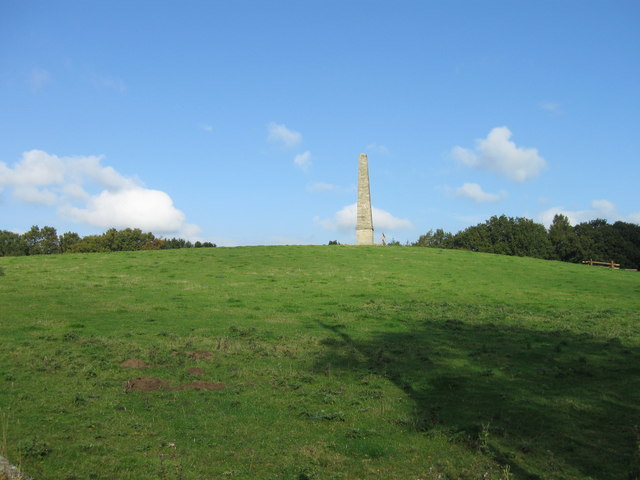
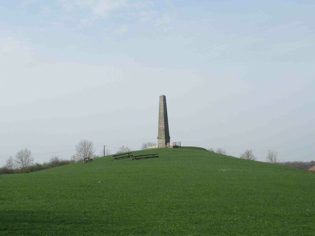
Beacon Hill is a prominent hill located in Northumberland, England. Standing at an impressive height of 345 meters (1,132 feet), it is one of the highest points in the county. Situated near the village of Longhorsley, Beacon Hill offers stunning panoramic views of the surrounding countryside.
The hill earned its name due to the presence of a beacon that was historically used as a signal tower to warn of impending danger or to communicate important messages. The beacon played a crucial role during times of conflict and was particularly significant during the Anglo-Scottish wars.
Today, Beacon Hill is a popular destination for outdoor enthusiasts and nature lovers. The hill boasts a diverse range of flora and fauna, making it an ideal spot for wildlife watching and bird spotting. Visitors can expect to see a variety of species, including red grouse, curlews, and skylarks.
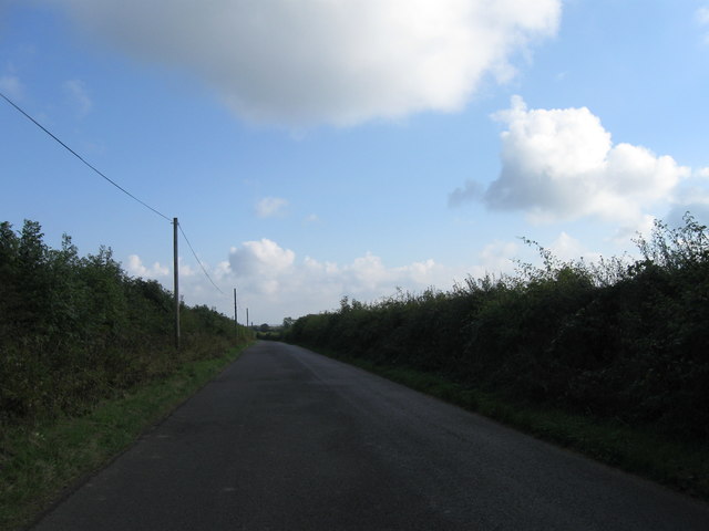
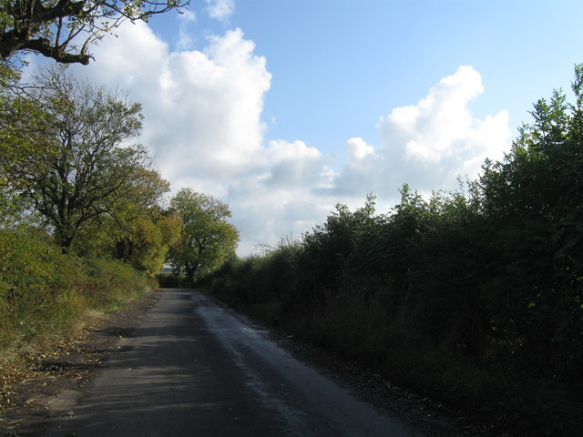
A network of footpaths and trails crisscross the hill, allowing visitors to explore its natural beauty. Hiking to the summit is a popular activity, rewarding climbers with breathtaking views of the Northumberland National Park, Cheviot Hills, and the coastline.
Beacon Hill also holds historical significance, with the remains of an Iron Age hillfort found on its slopes. This archaeological site provides an insight into the region's ancient past and offers a glimpse into the lives of its early inhabitants.
With its rich history, stunning vistas, and abundant wildlife, Beacon Hill is a must-visit destination for those seeking to immerse themselves in the beauty of Northumberland's countryside.
If you have any feedback on the listing, please let us know in the comments section below.
Beacon Hill Images
Images are sourced within 2km of 55.077663/-1.7807578 or Grid Reference NZ1475. Thanks to Geograph Open Source API. All images are credited.


Beacon Hill is located at Grid Ref: NZ1475 (Lat: 55.077663, Lng: -1.7807578)
Unitary Authority: Northumberland
Police Authority: Northumbria
What 3 Words
///lessening.leader.resonated. Near Ponteland, Northumberland
Nearby Locations
Related Wikis

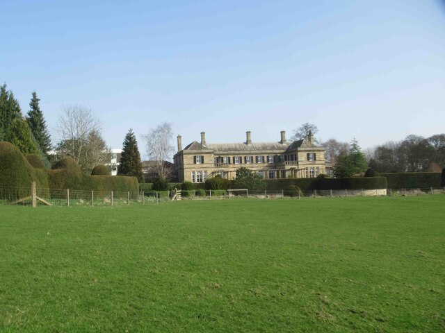
Kirkley Hall
Kirkley Hall is a 17th-century historic country mansion and Grade II listed building in Northumberland, England. The estate is over 190 acres (0.77 km2...
Ogle, Northumberland
Ogle is a village in and former civil parish, now in the parish of Whalton, Northumberland, England, north-west of Ponteland and south-west of Morpeth...

Ogle Castle
Ogle Castle (grid reference NZ14057908) is a former fortified manor house at Ogle, near Whalton, Northumberland. It is a Scheduled Ancient Monument and...
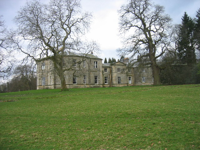
Milbourne Hall
Milbourne Hall is a privately owned mansion house at Milbourne, near Ponteland, Northumberland, England, which has Grade I listed building status.The Bates...
Nearby Amenities
Located within 500m of 55.077663,-1.7807578Have you been to Beacon Hill?
Leave your review of Beacon Hill below (or comments, questions and feedback).