Bedale Hill

Hill, Mountain in Yorkshire Richmondshire

England

Bedale Hill

Leyburn Food Festival crowds enjoy the food A view at the Food festival of the crowds enjoying the sunshine and food.
Leyburn Food Festival crowds enjoy the food Credit: roger geach

Bedale Hill is a prominent geographical feature located in the beautiful county of Yorkshire, England. Situated near the market town of Bedale, this hill is an integral part of the Pennines, a range of rugged mountains and hills that stretch across northern England.

Standing at an impressive height of approximately 300 meters, Bedale Hill offers breathtaking panoramic views of the surrounding countryside. Its distinctive shape and lush green slopes make it a popular destination for hikers, nature enthusiasts, and photographers alike.

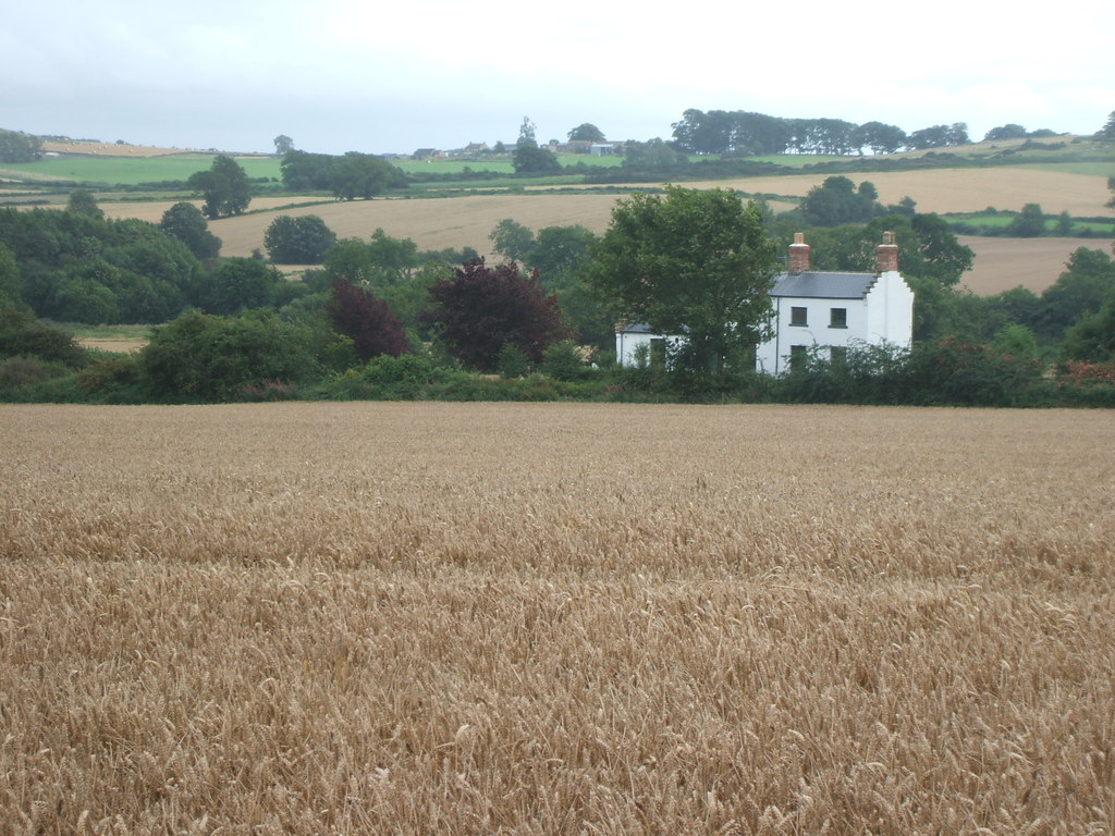
Covered in a patchwork of fields, woodlands, and moorland, Bedale Hill boasts a diverse range of flora and fauna. From vibrant wildflowers to grazing sheep, the hill is a haven for wildlife and offers a glimpse into the natural beauty of Yorkshire. The hilltop is adorned with a cluster of ancient trees, adding to its charm and providing a picturesque backdrop for visitors.

For those seeking adventure, Bedale Hill offers various walking trails that cater to all levels of fitness. The paths wind their way through the hill's undulating terrain, providing an opportunity to explore the area's rich history and archaeological sites. One notable feature is the remnants of an Iron Age hillfort, which stands as a testament to the area's ancient past.

Whether it's a leisurely stroll, an invigorating hike, or simply a desire to immerse oneself in the tranquility of nature, Bedale Hill offers an unforgettable experience. Its proximity to the town of Bedale ensures that visitors can easily access amenities and enjoy the warm hospitality of the local community.

If you have any feedback on the listing, please let us know in the comments section below.
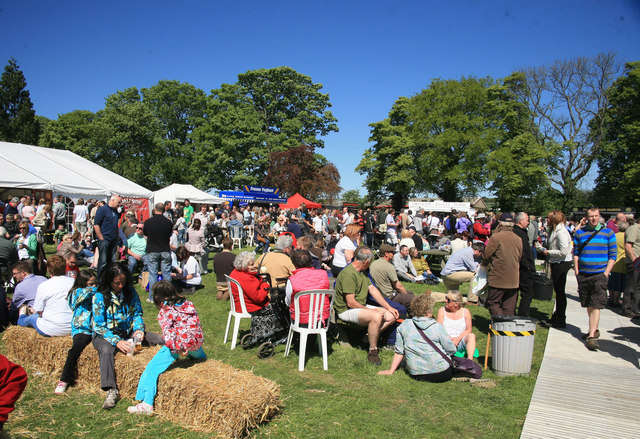
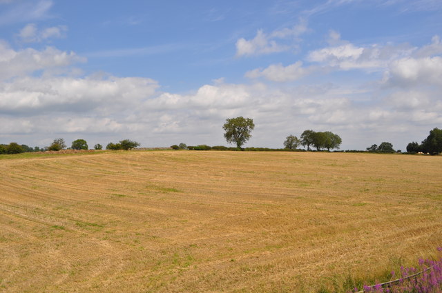
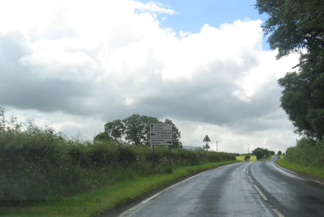
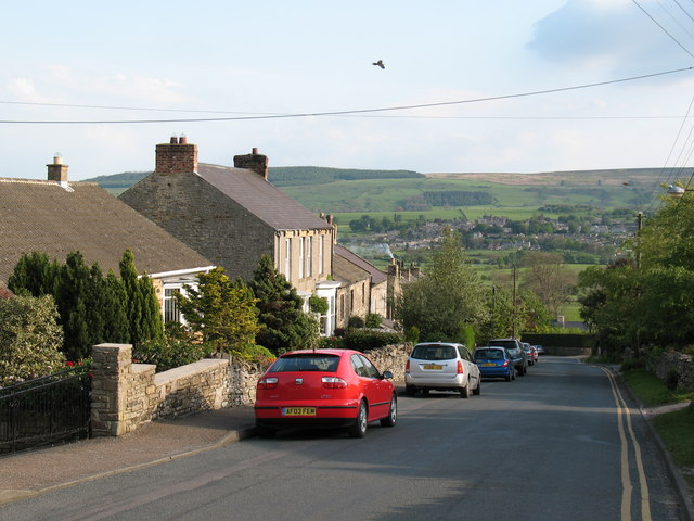
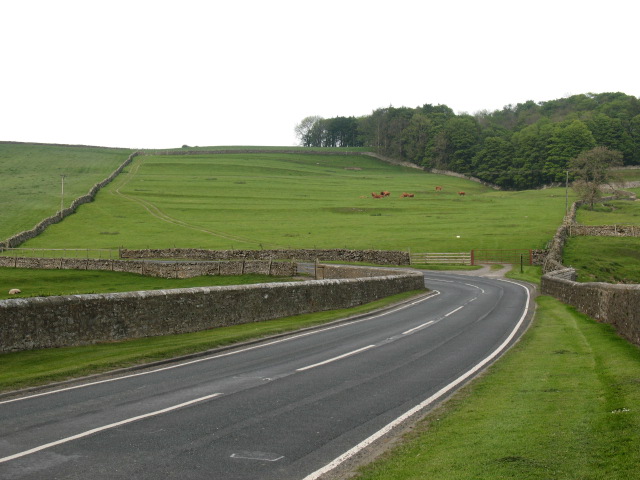
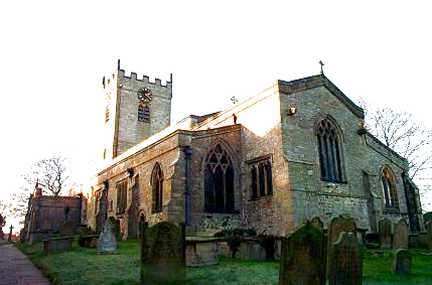
Bedale Hill Images

Images are sourced within 2km of 54.299864/-1.787948 or Grid Reference SE1389. Thanks to Geograph Open Source API. All images are credited.

Leyburn Food Festival crowds enjoy the food A view at the Food festival of the crowds enjoying the sunshine and food.
Leyburn Food Festival crowds enjoy the food
A view at the Food festival of the crowds enjoying the sunshine and food.
Nearing a Small Crossing A crossing to the campsite just after Leyburn station.
Nearing a Small Crossing
A crossing to the campsite just after Leyburn station.
Bridge over the Wensleydale A later stone and steel supported road bridge carrying a C road.
Bridge over the Wensleydale
A later stone and steel supported road bridge carrying a C road.
View from the Wensleydale Railway The road can just about be seen.
View from the Wensleydale Railway
The road can just about be seen.
Middlefields Farm Well its exactly as it says it is, in the middle of a field!
Middlefields Farm
Well its exactly as it says it is, in the middle of a field!
View from the Wensleydale Railway The Wensleydale railway is a preserved railway in North Yorkshire. The line currently runs 22 miles (35 km) between Northallerton on the East Coast Main Line and Redmire. This makes the line the longest heritage railway in Great Britain. Occasional freight services and excursions travel the full length of the line, however regular passenger services currently only operate between Leeming Bar and Redmire, a distance of 16.5 miles (27 km). Formerly the line ran from Northallerton to Garsdale on the Settle-Carlisle Railway. However the track between Redmire and Garsdale was lifted and several bridges and viaducts were demolished in the past. (Wikipedia)
<span class="nowrap"><a title="http://www.wensleydalerailwayassociation.com/" rel="nofollow ugc noopener" href="http://www.wensleydalerailwayassociation.com/">Link</a><img style="margin-left:2px;" alt="External link" title="External link - shift click to open in new window" src="https://s1.geograph.org.uk/img/external.png" width="10" height="10"/></span>
View from the Wensleydale Railway
The Wensleydale railway is a preserved railway in North Yorkshire. The line currently runs 22 miles (35 km) between Northallerton on the East Coast Main Line and Redmire. This makes the line the longest heritage railway in Great Britain. Occasional freight services and excursions travel the full length of the line, however regular passenger services currently only operate between Leeming Bar and Redmire, a distance of 16.5 miles (27 km). Formerly the line ran from Northallerton to Garsdale on the Settle-Carlisle Railway. However the track between Redmire and Garsdale was lifted and several bridges and viaducts were demolished in the past. (Wikipedia) LinkExternal link
Trimming the verge Man at work on the A684 between Leyburn and Harmby.
Trimming the verge
Man at work on the A684 between Leyburn and Harmby.
Wensleydale Railway DMU approaching crossing
Stoop House Farm crossroads
Approaching traffic lights at Railway bridge From A684 eastbound
Approaching traffic lights at Railway bridge
From A684 eastbound
Spennithorne railway station (site), Yorkshire Opened in 1855 by the Bedale & Leyburn Railway as an extension of the line from Northallerton. Closed in 1954, and although the Wensleydale Railway now runs through the site, the station remained closed at the time this image was taken. View south from the main road.
Spennithorne railway station (site), Yorkshire
Opened in 1855 by the Bedale & Leyburn Railway as an extension of the line from Northallerton. Closed in 1954, and although the Wensleydale Railway now runs through the site, the station remained closed at the time this image was taken. View south from the main road.
Light controlled bridge on A684 The road crosses the Wensleydale railway here, east of Harmby
Light controlled bridge on A684
The road crosses the Wensleydale railway here, east of Harmby
Lime kiln near Leyburn This kiln makes an attractive addition to this campsite just outside Leyburn
Lime kiln near Leyburn
This kiln makes an attractive addition to this campsite just outside Leyburn
Track to Middlefields Farm Possibly the most secluded farm ever?
Track to Middlefields Farm
Possibly the most secluded farm ever?
Spennithorne Station As with many railway stations, this appears to be of use to neither man nor beast. In the middle of nowhere. Evidence of recent additions alterations.
Spennithorne Station
As with many railway stations, this appears to be of use to neither man nor beast. In the middle of nowhere. Evidence of recent additions alterations.
Railway bridge near Spennithorne Originally the Bedale and Leyburn Railway, now reopened buy the Wensleydale Railway
Railway bridge near Spennithorne
Originally the Bedale and Leyburn Railway, now reopened buy the Wensleydale Railway
Argill Farm Farm at Harmby
Argill Farm
Farm at Harmby
Argill Single track road near Harmby.
Argill
Single track road near Harmby.
Show me another place!

Bedale Hill is located at Grid Ref: SE1389 (Lat: 54.299864, Lng: -1.787948)

Division: North Riding

Administrative County: North Yorkshire

District: Richmondshire

Police Authority: North Yorkshire

What 3 Words

///october.access.prove. Near Leyburn, North Yorkshire

Related Wikis

Spennithorne

Spennithorne is a village and civil parish in lower Wensleydale in North Yorkshire, England. The village is situated 2 miles (3.2 km) south-east of the...

Spennithorne railway station

Spennithorne railway station was on the Wensleydale Railway, in North Yorkshire, England. The station was opened by the Bedale and Leyburn Railway on 19...

Harmby

Harmby is a village and civil parish in Lower Wensleydale very near to Leyburn, in North Yorkshire, England. It is closely connected with Spennithorne...

A6108 road

The A6108 road is an A road in North Yorkshire, England. It runs from the south of Scotch Corner to Ripon going via Richmond and Leyburn across the moors...

Tennants (auctioneers)

Tennants is an auction house based at Leyburn in North Yorkshire, England. It claims to be the largest family-owned fine art auctioneers in the United...

Church of St Mary and St Alkelda, Middleham

The Church of St Mary and St Alkelda is a Church of England parish church in Middleham, Richmondshire, North Yorkshire. The church is a grade I listed...

Middleham

Middleham is a market town and civil parish in the district and county of North Yorkshire, England. It lies in Wensleydale in the Yorkshire Dales, on...

Middleham Castle

Middleham Castle is a ruined castle in Middleham in Wensleydale, in the county of North Yorkshire, England. It was built by Robert Fitzrandolph, 3rd Lord...

Nearby Amenities

Located within 500m of 54.299864,-1.787948
Spennithorne
Is In: UK, England, Yorkshire, Wensleydale
Place: hamlet
Lat/Long: 54.2971064/-1.7917079
Defibrillator
Access: yes
Booth: KX100
Covered: booth
Defibrillator Location: in old phone box in Spennithorne
Disused Amenity: telephone
Emergency: defibrillator
Man Made: telephone_box
Lat/Long: 54.2981567/-1.7921548
Power: pole
Lat/Long: 54.3010555/-1.7944201
Power: pole
Lat/Long: 54.3005949/-1.7931746
Power: pole
Lat/Long: 54.3001397/-1.7918925
Power: pole
Lat/Long: 54.2994022/-1.7912766
Power: pole
Lat/Long: 54.2988338/-1.7907451
Power: pole
Lat/Long: 54.2985276/-1.7938658
Power: pole
Lat/Long: 54.298903/-1.7941555
Power: pole
Lat/Long: 54.2993276/-1.7945113
Power: pole
Lat/Long: 54.2997456/-1.7948626
Power: pole
Lat/Long: 54.3001556/-1.7952185
The data included in this document is from www.openstreetmap.org. The data is made available under ODbL.

Have you been to Bedale Hill?

Leave your review of Bedale Hill below (or comments, questions and feedback).