New Hill

Hill, Mountain in Worcestershire Wychavon

England

New Hill

Old Dutch barn in a field An old Dutch barn in an arable field near Norton Hall to the west of the village of Mickleton.  Meon Hill can be seen in the background.
Old Dutch barn in a field Credit: Philip Halling

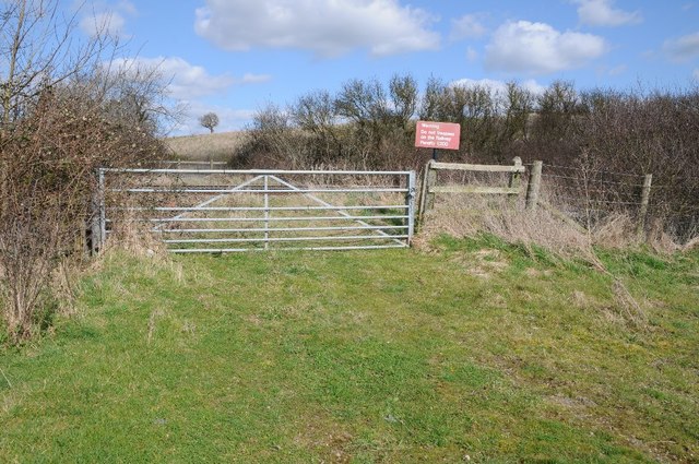
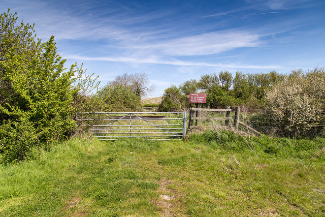
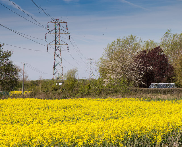
New Hill is a prominent geographical feature located in the county of Worcestershire, England. Situated near the town of Malvern, New Hill is a well-known hill/mountain that is part of the Malvern Hills range. It stands at an elevation of approximately 425 meters (1,394 feet) above sea level, making it one of the highest points in the region.

The hill is characterized by its distinctive shape and steep slopes, which offer breathtaking views of the surrounding countryside. Its summit provides a panoramic vista of the Malvern Hills, the nearby towns, and the picturesque Worcestershire countryside.

New Hill is composed mainly of ancient igneous rocks, such as granite and diorite, which are remnants of volcanic activity that occurred millions of years ago. These rocks contribute to the hill's rugged and rocky terrain.

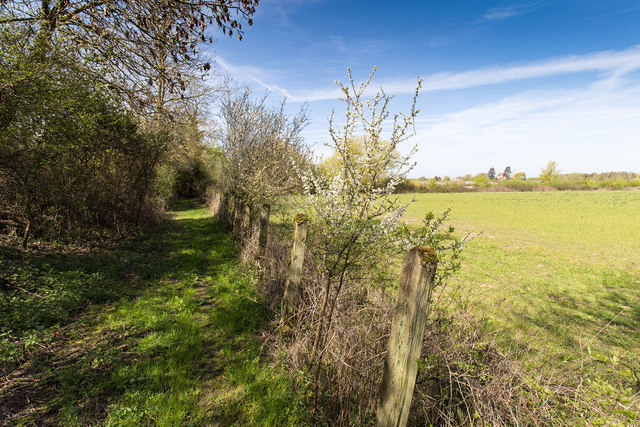
The area surrounding New Hill is rich in biodiversity, with a diverse range of flora and fauna. The hill is home to various species of plants, including heather, gorse, and grasses, which create a colorful and vibrant landscape throughout the year. The hillside also supports a variety of wildlife, including birds, mammals, and insects.

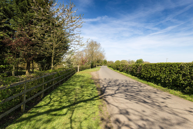
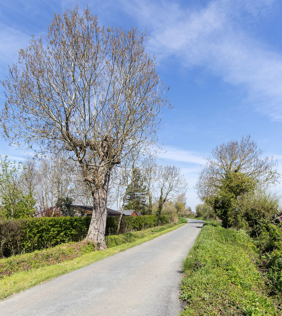
New Hill attracts outdoor enthusiasts, hikers, and nature lovers who come to explore its network of footpaths and trails. The hill offers opportunities for recreational activities such as walking, hiking, and even rock climbing for the more adventurous. It is also a popular spot for photography, providing stunning vistas and a chance to capture the beauty of the Worcestershire countryside.

Overall, New Hill in Worcestershire is a natural gem that offers both locals and visitors a chance to connect with nature, enjoy breathtaking views, and experience the tranquility of the outdoors.

If you have any feedback on the listing, please let us know in the comments section below.
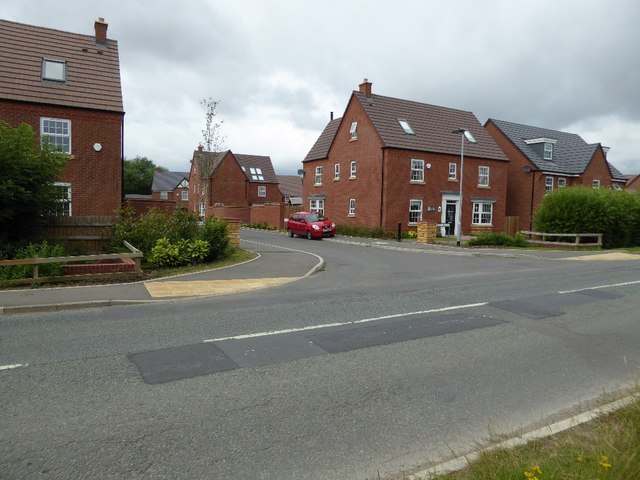
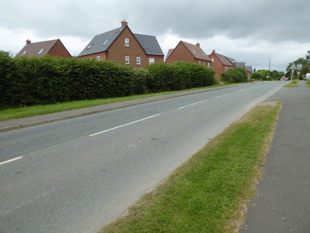
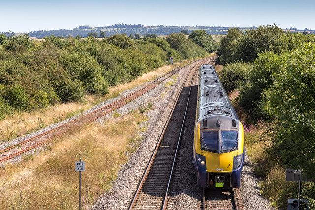
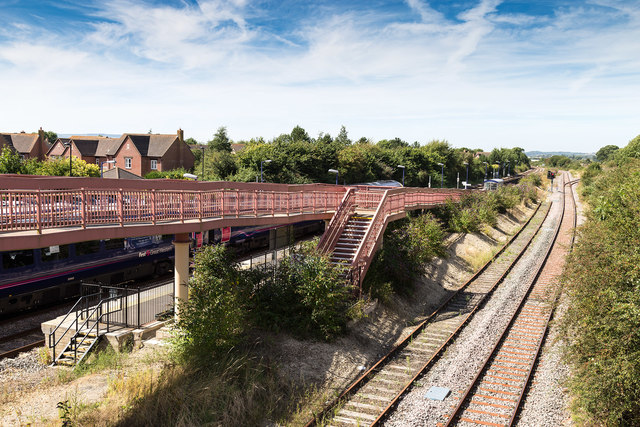
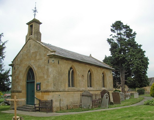
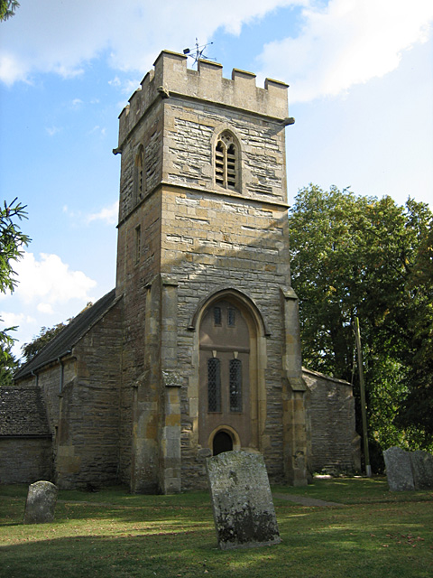
New Hill Images

Images are sourced within 2km of 52.095139/-1.8071562 or Grid Reference SP1344. Thanks to Geograph Open Source API. All images are credited.

Old Dutch barn in a field An old Dutch barn in an arable field near Norton Hall to the west of the village of Mickleton.  Meon Hill can be seen in the background.
Old Dutch barn in a field
An old Dutch barn in an arable field near Norton Hall to the west of the village of Mickleton. Meon Hill can be seen in the background.
Farmland beside Mickleton Road The field inclines to the hedgerow to the left behind which is the Oxford to Worcester railway line.
Farmland beside Mickleton Road
The field inclines to the hedgerow to the left behind which is the Oxford to Worcester railway line.
Farm access crossing Farm access crossing over the Oxford to Worcester railway near Honeybourne.  This crossing appears to be little used compared to when first photographed in 2005 <a href="https://www.geograph.org.uk/photo/180689">SP1344 : Level Crossing</a>.
Farm access crossing
Farm access crossing over the Oxford to Worcester railway near Honeybourne. This crossing appears to be little used compared to when first photographed in 2005 SP1344 : Level Crossing.
The Oxford to Worcester railway The Oxford to Worcester railway photographed from Mickleton Road near the entrance to Norton Hall.  The track on this line was upgraded to a double track some five years ago.  Originally when built it was double track.
The Oxford to Worcester railway
The Oxford to Worcester railway photographed from Mickleton Road near the entrance to Norton Hall. The track on this line was upgraded to a double track some five years ago. Originally when built it was double track.
Temporary footpath closure Notification that this footpath through to Mickleton is currently closed due to building work in the village of Mickleton.
Temporary footpath closure
Notification that this footpath through to Mickleton is currently closed due to building work in the village of Mickleton.
Entrance and pair of gate piers, Norton Hall Entrance to the privately owned Norton Hall near Mickleton. To the left is a cattle grid and the modern entrance, the original gate and 18th century gate piers are on the right.  The piers are Grade II listed.

Historic England description
Pair of gate piers. C18, of limestone. Square with moulded cornice and surmounted by twisted flaming urns, topped by a ball finial.
Source: <span class="nowrap"><a title="https://www.historicengland.org.uk/listing/the-list/list-entry/1088511" rel="nofollow ugc noopener" href="https://www.historicengland.org.uk/listing/the-list/list-entry/1088511">Link</a><img style="margin-left:2px;" alt="External link" title="External link - shift click to open in new window" src="https://s1.geograph.org.uk/img/external.png" width="10" height="10"/></span>
Entrance and pair of gate piers, Norton Hall
Entrance to the privately owned Norton Hall near Mickleton. To the left is a cattle grid and the modern entrance, the original gate and 18th century gate piers are on the right. The piers are Grade II listed. Historic England description Pair of gate piers. C18, of limestone. Square with moulded cornice and surmounted by twisted flaming urns, topped by a ball finial. Source: LinkExternal link
Gate piers, Norton Hall The original 18th century gate piers and gate to Norton Hall near Mickleton.  The piers are Grade II listed.

Historic England description
Pair of gate piers. C18, of limestone. Square with moulded cornice and surmounted by twisted flaming urns, topped by a ball finial.
Source: <span class="nowrap"><a title="https://www.historicengland.org.uk/listing/the-list/list-entry/1088511" rel="nofollow ugc noopener" href="https://www.historicengland.org.uk/listing/the-list/list-entry/1088511">Link</a><img style="margin-left:2px;" alt="External link" title="External link - shift click to open in new window" src="https://s1.geograph.org.uk/img/external.png" width="10" height="10"/></span>
Gate piers, Norton Hall
The original 18th century gate piers and gate to Norton Hall near Mickleton. The piers are Grade II listed. Historic England description Pair of gate piers. C18, of limestone. Square with moulded cornice and surmounted by twisted flaming urns, topped by a ball finial. Source: LinkExternal link
Broad Marston Road Near Pitchall Farm.
Broad Marston Road
Near Pitchall Farm.
Bridleway to Honeybourne The bridleway runs alongside the railway, inside of the old railway boundary fence.
Bridleway to Honeybourne
The bridleway runs alongside the railway, inside of the old railway boundary fence.
Closed level crossing The crossing that was here has been removed and the gate padlocked shut.
Closed level crossing
The crossing that was here has been removed and the gate padlocked shut.
Pylons and oil seed rape View west from Broad Marston Road near Lower Cottages.
The yellow flowers of the oil seed rape are well in flower.
Pylons and oil seed rape
View west from Broad Marston Road near Lower Cottages. The yellow flowers of the oil seed rape are well in flower.
Broad Marston Road Near to Abbots Ground Farm.
Broad Marston Road
Near to Abbots Ground Farm.
New housing estate in Honeybourne This housing estate has been built on what used to be the site of sheep sales.  See <a href="https://www.geograph.org.uk/photo/1985487">SP1144 : Honeybourne Sheep Sale</a> for a similar view of the same site.
New housing estate in Honeybourne
This housing estate has been built on what used to be the site of sheep sales. See SP1144 : Honeybourne Sheep Sale for a similar view of the same site.
New housing estate in Honeybourne Until recently this was the site of annual sheep sales which took place on this site, see <a href="https://www.geograph.org.uk/photo/1985487">SP1144 : Honeybourne Sheep Sale</a> back in July 2010.
New housing estate in Honeybourne
Until recently this was the site of annual sheep sales which took place on this site, see SP1144 : Honeybourne Sheep Sale back in July 2010.
New houses in Honeybourne These houses have been built recently on a site which used to be the site of annual sheep sales <a href="https://www.geograph.org.uk/photo/1985492">SP1144 : Sheep sale site, Honeybourne</a>.  The roads are named after sheep breeds such as Herdwick and Clun.
New houses in Honeybourne
These houses have been built recently on a site which used to be the site of annual sheep sales SP1144 : Sheep sale site, Honeybourne. The roads are named after sheep breeds such as Herdwick and Clun.
The route of an old Roman Road in Honeybourne This straight road in Honeybourne follows the route of Ryknild Street, a former Roman Road.  The houses behind the hedge are a recent development, built on what was the site of annual sheep sales <a href="https://www.geograph.org.uk/photo/1985492">SP1144 : Sheep sale site, Honeybourne</a>.
The route of an old Roman Road in Honeybourne
This straight road in Honeybourne follows the route of Ryknild Street, a former Roman Road. The houses behind the hedge are a recent development, built on what was the site of annual sheep sales SP1144 : Sheep sale site, Honeybourne.
Train approaches Honeybourne Station A First Great Western train approaches Honeybourne from the ESE.
Taken from the Buckle Street road bridge over the railway.
Train approaches Honeybourne Station
A First Great Western train approaches Honeybourne from the ESE. Taken from the Buckle Street road bridge over the railway.
Honeybourne Station A First Great Western train stands in Honeybourne Station.
Taken from the Buckle Street road bridge over the railway.
Honeybourne Station
A First Great Western train stands in Honeybourne Station. Taken from the Buckle Street road bridge over the railway.
Show me another place!

New Hill is located at Grid Ref: SP1344 (Lat: 52.095139, Lng: -1.8071562)

Administrative County: Worcestershire

District: Wychavon

Police Authority: West Mercia

What 3 Words

///unite.claims.bathtubs. Near Honeybourne, Worcestershire

Related Wikis

Honeybourne

Honeybourne is a village and civil parish about 5 miles (8 km) east of Evesham in Worcestershire, England. Much of the parish is farmland. RAF Honeybourne...

Pebworth Halt railway station

Pebworth Halt railway station served the village of Pebworth, Worcestershire, England from 1937 to 1966 on the Gloucestershire Warwickshire Railway....

Honeybourne railway station

Honeybourne railway station serves the village of Honeybourne in Worcestershire, England. Opened in 1853, it is on the Cotswold Line and was formerly a...

Mickleton Halt railway station

Mickleton Halt was a railway station on the Great Western Railway line between Oxford and Worcester Shrub Hill to serve Mickleton and the surrounding villages...

The Priory, Pebworth

The Priory, Pebworth (Broad Marston Priory) is a listed building in the village of Pebworth, in Worcestershire, England. == References ==

Aston-sub-Edge

Aston Subedge (also written Aston-sub-Edge) is a village and civil parish in the Cotswold district of Gloucestershire, England, close by the border with...

Pebworth

Pebworth is a village and civil parish in the county of Worcestershire, lying about 5 miles north-north-west of the town of Chipping Campden in Gloucestershire...

Three Ways House Hotel

Three Ways House Hotel is a hotel in Mickleton, Gloucestershire, England. Built in 1871 as a house for a doctor, the now hotel features a weekly dining...

Nearby Amenities

Located within 500m of 52.095139,-1.8071562
Railway: level_crossing
Lat/Long: 52.094656/-1.8105316
Railway: level_crossing
Lat/Long: 52.0946814/-1.810503
Communication Gsm-r: yes
Man Made: mast
Source: bing
Tower Type: communication
Lat/Long: 52.0937797/-1.8083762
Man Made: tower
Source: bing
Tower Type: communication
Lat/Long: 52.0944405/-1.8090588
Honeybourne South Loop Junction
Railway: junction
Lat/Long: 52.095308/-1.8119868
Bushy Hill Cell Site
Power: pole
Transformer: distribution
Voltage Primary: 11000
Lat/Long: 52.0945731/-1.8097481
The data included in this document is from www.openstreetmap.org. The data is made available under ODbL.

Have you been to New Hill?

Leave your review of New Hill below (or comments, questions and feedback).