Carder Low
Hill, Mountain in Derbyshire Derbyshire Dales
England
Carder Low

Carder Low is a prominent hill located in the county of Derbyshire, England. Situated in the Peak District National Park, it forms part of the White Peak area, known for its picturesque landscapes and limestone formations. Standing at an elevation of approximately 475 meters (1,560 feet), Carder Low offers breathtaking views of the surrounding countryside.
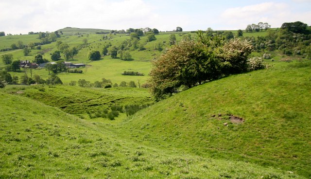
The hill is characterized by its gently sloping sides, covered in lush green grass and scattered with patches of heather and bracken. It is primarily composed of limestone, which gives it a distinct pale appearance. Carder Low is home to a rich variety of plant and animal species, including rare orchids, birds, and insects, making it a popular destination for nature enthusiasts and birdwatchers.
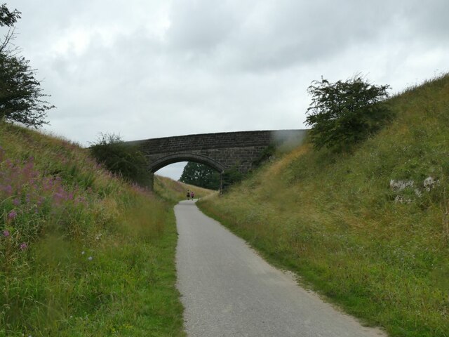
The summit of Carder Low provides panoramic views of the neighboring hills and dales, with the prominent Tissington Trail passing nearby. The trail, a former railway line, is now a popular route for walkers, cyclists, and horse riders, offering easy access to Carder Low.
The hill is also steeped in history, with evidence of human activity dating back to prehistoric times. Archaeological finds in the area suggest that Carder Low was once used as a burial site during the Bronze Age.
Overall, Carder Low is a stunning natural landmark in Derbyshire, boasting scenic beauty, diverse wildlife, and a rich cultural heritage. Its accessibility and proximity to the Peak District National Park make it a must-visit destination for outdoor enthusiasts and those seeking a tranquil escape in nature.
If you have any feedback on the listing, please let us know in the comments section below.
Carder Low Images
Images are sourced within 2km of 53.160675/-1.8069229 or Grid Reference SK1362. Thanks to Geograph Open Source API. All images are credited.


Carder Low is located at Grid Ref: SK1362 (Lat: 53.160675, Lng: -1.8069229)
Administrative County: Derbyshire
District: Derbyshire Dales
Police Authority: Derbyshire
What 3 Words
///superhero.tinted.rebel. Near Newhaven, Derbyshire
Nearby Locations
Related Wikis
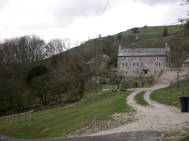
Pilsbury
Pilsbury is a hamlet in the English county of Derbyshire, approximately 2 miles north of Hartington. It is on the side of the valley of the River Dove...

Parsley Hay railway station
Parsley Hay railway station served Parsley Hay, a hamlet within Hartington Middle Quarter civil parish, about 9.3 miles (15 km) south east of Buxton, Derbyshire...
Pilsbury Castle
Pilsbury Castle was a Norman castle in Derbyshire near the present-day village of Pilsbury, overlooking the River Dove. == Details == Pilsbury Castle occupied...
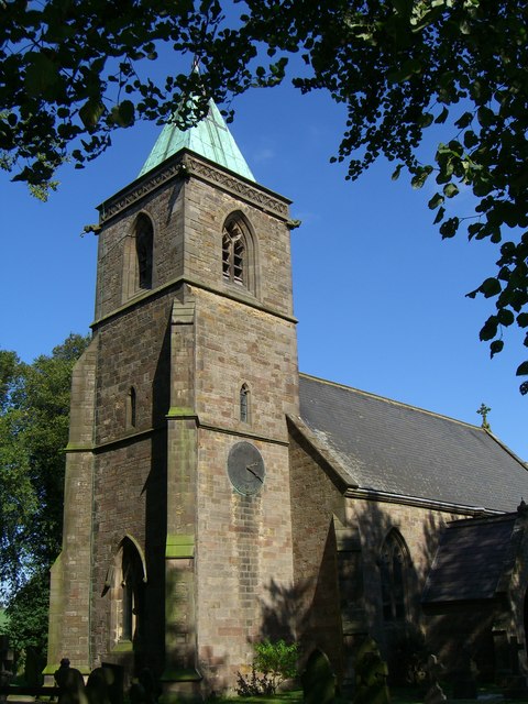
Church of St Luke, Sheen, Staffordshire
The Church of St Luke, Sheen, Staffordshire is a Grade II* listed Anglican church. Its origins are of the 14th century, but it was largely rebuilt in the...
Nearby Amenities
Located within 500m of 53.160675,-1.8069229Have you been to Carder Low?
Leave your review of Carder Low below (or comments, questions and feedback).