East's Hill

Hill, Mountain in Gloucestershire Wychavon

England

East's Hill

Pebworth Fire Station On Stratford Road south of Pebworth.
Pebworth Fire Station Credit: David P Howard

East's Hill is a prominent landmark located in Gloucestershire, England. Rising to an elevation of 297 meters (974 feet), it is considered a hill rather than a mountain due to its relatively modest height. Situated in the western part of the county, East's Hill is part of the Cotswold Range, a series of rolling hills that stretches across six counties in the southwest of England.

The hill is predominantly composed of limestone, a characteristic feature of the Cotswolds region. This geology has led to the formation of unique flora and fauna on East's Hill, making it an important site for conservation. The area supports a variety of plant species, including rare orchids and wildflowers, while its grassy slopes provide a habitat for a range of insects, birds, and small mammals.

East's Hill offers breathtaking panoramic views of the surrounding countryside, offering visitors a chance to appreciate the natural beauty of the area. On clear days, it is possible to see as far as the Severn Estuary and the distant Welsh mountains. The hill is a popular destination for hikers and walkers, with several footpaths and trails crisscrossing its slopes.

Historically, East's Hill has played a significant role in the local community. It is believed that the hill was utilized as a defensive site during ancient times, evidenced by the presence of an Iron Age hillfort on its summit. The hillfort, known as Hetty Pegler's Tump, consists of earthworks and ramparts and provides a glimpse into the region's past.

In conclusion, East's Hill in Gloucestershire is a picturesque and ecologically important hill in the Cotswolds. With its diverse flora and fauna, stunning views, and historical significance, it offers both natural and cultural attractions to visitors.

If you have any feedback on the listing, please let us know in the comments section below.
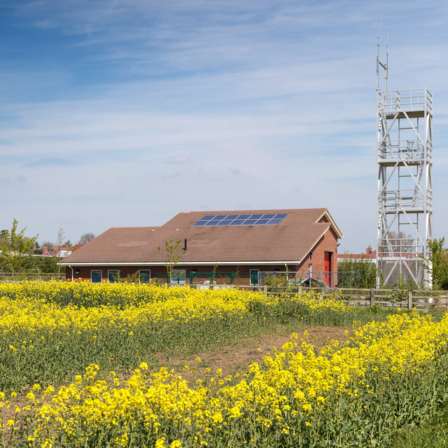
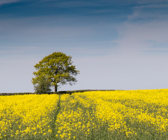
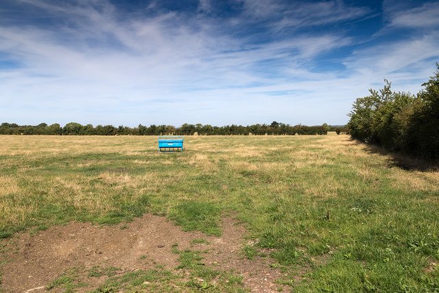
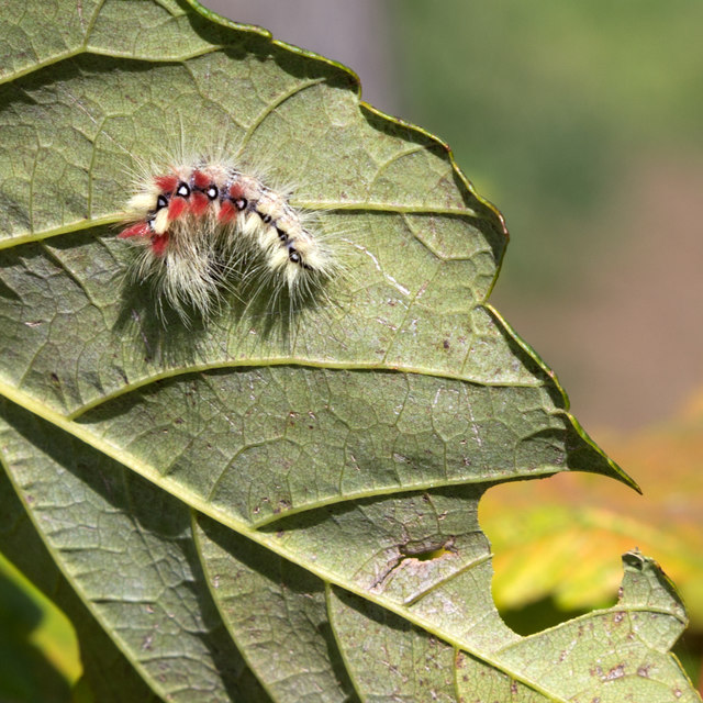
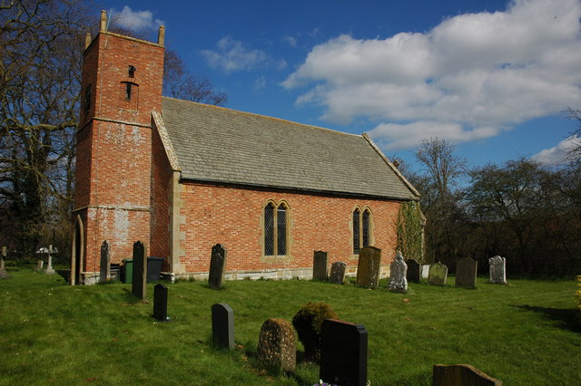
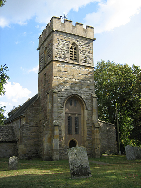
East's Hill Images

Images are sourced within 2km of 52.132568/-1.8133207 or Grid Reference SP1248. Thanks to Geograph Open Source API. All images are credited.

Pebworth Fire Station On Stratford Road south of Pebworth.
Pebworth Fire Station
On Stratford Road south of Pebworth.
Tree near Oakhouse Farm View west from Stratford Road across a field of oil seed rape in flower, towards a lone tree on the horizon.
Tree near Oakhouse Farm
View west from Stratford Road across a field of oil seed rape in flower, towards a lone tree on the horizon.
Field west of Pebworth View north across a grazing field.
Field west of Pebworth
View north across a grazing field.
Driveway to Crabtree Farm The driveway to Crabtree Farm which is also a public footpath, leaves Dorsington Lane heading west.
Driveway to Crabtree Farm
The driveway to Crabtree Farm which is also a public footpath, leaves Dorsington Lane heading west.
Gate number 99 View south west on the footpath from Crabtree Farm.
All the gates in this area have numbers on them.
Gate number 99
View south west on the footpath from Crabtree Farm. All the gates in this area have numbers on them.
View north west from the footpath to Crabtree Farm Looking north west across a recently ploughed stubble field.
The farm buildings near Bickmarsh Hall can be seen in the distance.
View north west from the footpath to Crabtree Farm
Looking north west across a recently ploughed stubble field. The farm buildings near Bickmarsh Hall can be seen in the distance.
Driveway to Crabtree Farm The driveway to the farm is also a public footpath.
Driveway to Crabtree Farm
The driveway to the farm is also a public footpath.
Outbuildings at Crabtree Farm View east from the public footpath running through the farm.
Outbuildings at Crabtree Farm
View east from the public footpath running through the farm.
Footpath through fields near Crabtree Farm Looking WSW along the route of a footpath across the field.
Footpath through fields near Crabtree Farm
Looking WSW along the route of a footpath across the field.
Beck's Wood, Heart of England Forest This area of native forest planted in 2010 is part of the Heart of England Forest Project.<span class="nowrap"><a title="https://www.heartofenglandforest.com/" rel="nofollow ugc noopener" href="https://www.heartofenglandforest.com/">Link</a><img style="margin-left:2px;" alt="External link" title="External link - shift click to open in new window" src="https://s1.geograph.org.uk/img/external.png" width="10" height="10"/></span>
"to plant and preserve a large native forest in the heart of England"
Taken from the footpath to Crabtree Farm.
Beck's Wood, Heart of England Forest
This area of native forest planted in 2010 is part of the Heart of England Forest Project.LinkExternal link "to plant and preserve a large native forest in the heart of England" Taken from the footpath to Crabtree Farm.
View from the bench A lone bench beside the footpath to Crabtree Farm looks to the south across Beck's Wood, a recently planted area of native forest as part of the Heart of England Forest Project.<span class="nowrap"><a title="https://www.heartofenglandforest.com/" rel="nofollow ugc noopener" href="https://www.heartofenglandforest.com/">Link</a><img style="margin-left:2px;" alt="External link" title="External link - shift click to open in new window" src="https://s1.geograph.org.uk/img/external.png" width="10" height="10"/></span>.
View from the bench
A lone bench beside the footpath to Crabtree Farm looks to the south across Beck's Wood, a recently planted area of native forest as part of the Heart of England Forest Project.LinkExternal link.
Footbridge over a stream Footbridge on the footpath to Crabtree Farm.
Footbridge over a stream
Footbridge on the footpath to Crabtree Farm.
Alternative footpath route The route of the footpath as marked on the map goes tight round an isolated dwelling. This more direct route has been provided south of the small stream.
Alternative footpath route
The route of the footpath as marked on the map goes tight round an isolated dwelling. This more direct route has been provided south of the small stream.
Vast stubble field View southwest across a vast field with a huge sky.
Vast stubble field
View southwest across a vast field with a huge sky.
Footpath to Little Dorsington The footpath at this point is tightly constrained by the fence, which makes navigating round overgrowing bushes quite tricky.
Footpath to Little Dorsington
The footpath at this point is tightly constrained by the fence, which makes navigating round overgrowing bushes quite tricky.
Hairy caterpillar I think this might be the caterpillar of the Sycamore Moth?
Hairy caterpillar
I think this might be the caterpillar of the Sycamore Moth?
Bracket fungi on Horse Chestnut tree (Top view) A Horse Chestnut tree by the side of Buckle Street, with two very large bracket fungi.
For bottom view see <a href="https://www.geograph.org.uk/photo/5090236">SP1147 : Bracket fungi on Horse Chestnut tree (Bottom view)</a>
Bracket fungi on Horse Chestnut tree (Top view)
A Horse Chestnut tree by the side of Buckle Street, with two very large bracket fungi. For bottom view see SP1147 : Bracket fungi on Horse Chestnut tree (Bottom view)
Show me another place!

East's Hill is located at Grid Ref: SP1248 (Lat: 52.132568, Lng: -1.8133207)

Administrative County: Worcestershire

District: Wychavon

Police Authority: West Mercia

What 3 Words

///grudges.intervene.wooden. Near Honeybourne, Worcestershire

Nearby Locations

East's Hill Pebworth Downs

Related Wikis

Dorsington

Dorsington is a village and civil parish in the Stratford-on-Avon district, in the county of Warwickshire, England. Dorsington was in Gloucestershire until...

Pebworth

Pebworth is a village and civil parish in the county of Worcestershire, lying about 5 miles north-north-west of the town of Chipping Campden in Gloucestershire...

The Priory, Pebworth

The Priory, Pebworth (Broad Marston Priory) is a listed building in the village of Pebworth, in Worcestershire, England. == References ==

Long Marston, Warwickshire

Long Marston is a village and civil parish about 5 miles (8 km) southwest of Stratford-upon-Avon in Warwickshire, England. The southern and western boundaries...

Marston Sicca Rural District

Marston Sicca was, from 1894 to 1931, a rural district in the administrative county of Gloucestershire, England. The district formed part of a salient...

Heart of England Forest

The Heart of England Forest is a charitable organisation in England, focussed on the conservation and restoration of native woodland in Warwickshire and...

Long Marston railway station

Long Marston railway station was a station at Long Marston, Warwickshire on the Great Western Railway line between Stratford-upon-Avon and Honeybourne...

Pebworth Halt railway station

Pebworth Halt railway station served the village of Pebworth, Worcestershire, England from 1937 to 1966 on the Gloucestershire Warwickshire Railway....

Nearby Amenities

Located within 500m of 52.132568,-1.8133207
The data included in this document is from www.openstreetmap.org. The data is made available under ODbL.

Have you been to East's Hill?

Leave your review of East's Hill below (or comments, questions and feedback).