Narrowdale Hill
Hill, Mountain in Staffordshire Staffordshire Moorlands
England
Narrowdale Hill
Narrowdale Hill is a prominent geographical feature located in the county of Staffordshire, England. It is situated in the Peak District National Park, specifically within the area known as the Staffordshire Moorlands. Rising to an elevation of approximately 282 meters (925 feet), Narrowdale Hill is a noteworthy hill that offers stunning panoramic views of the surrounding countryside.
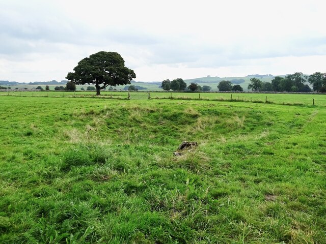
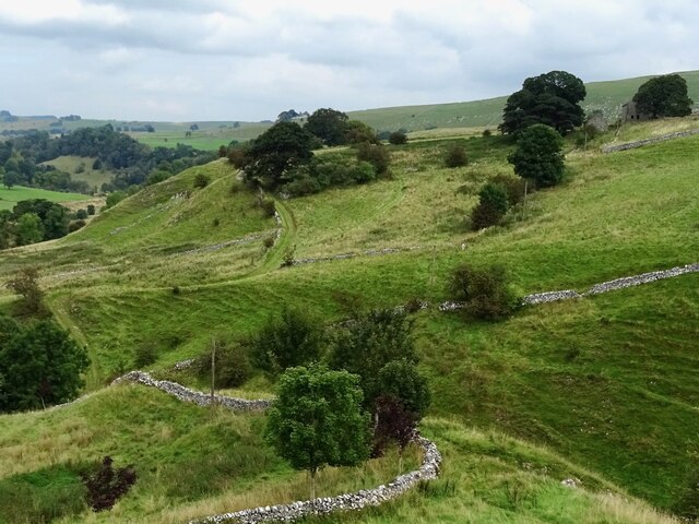
The hill is characterized by its distinctive narrow ridge, which gives it its name. It is composed mainly of gritstone, a type of sedimentary rock commonly found in the Peak District area. The landscape surrounding Narrowdale Hill is a mix of rolling green hills, deep valleys, and scattered woodlands, providing a picturesque backdrop for visitors.
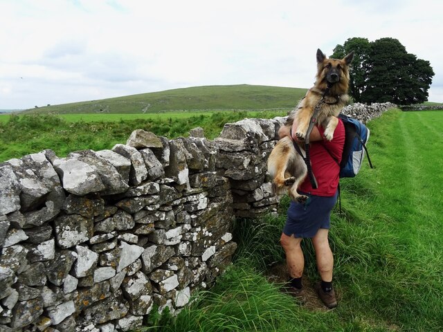
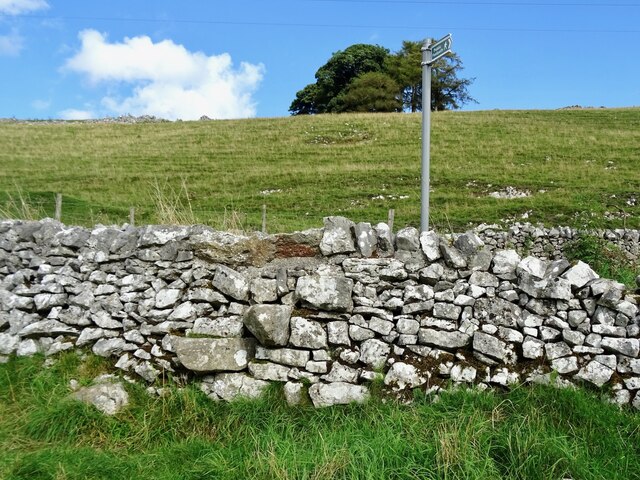
The location of Narrowdale Hill makes it a popular destination for outdoor enthusiasts and nature lovers. There are several walking trails that lead to the summit, allowing visitors to explore the area's natural beauty. The hill is also frequented by climbers who are drawn to its challenging rock faces.
In addition to its natural beauty, Narrowdale Hill is also rich in history. The area has evidence of human activity dating back to the prehistoric era, with archaeological finds suggesting that it was once inhabited by early settlers. The hill's strategic position overlooking the surrounding countryside also made it an important vantage point during various historical periods.
Overall, Narrowdale Hill in Staffordshire offers a captivating blend of natural beauty, outdoor recreational opportunities, and historical significance, making it a must-visit destination for those seeking to explore the wonders of the Peak District National Park.
If you have any feedback on the listing, please let us know in the comments section below.
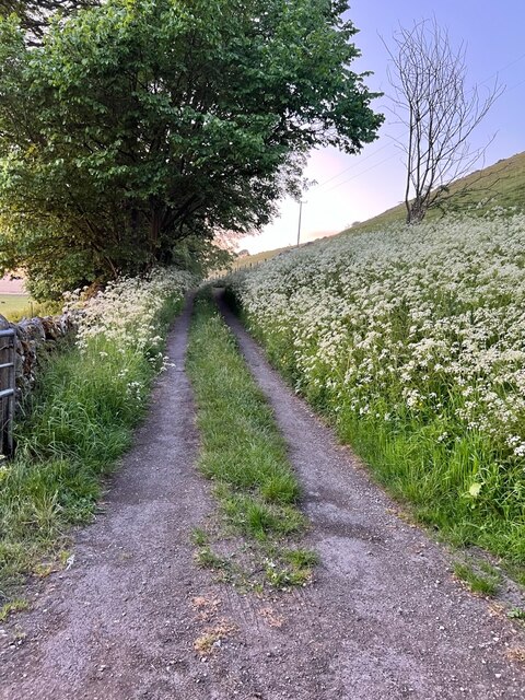
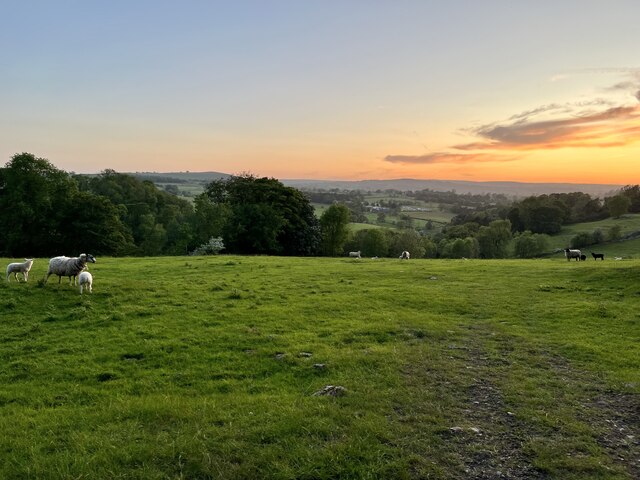
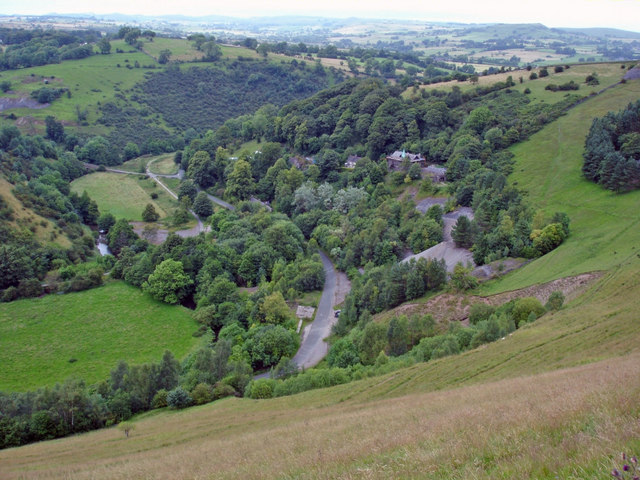
Narrowdale Hill Images
Images are sourced within 2km of 53.112268/-1.817089 or Grid Reference SK1257. Thanks to Geograph Open Source API. All images are credited.


Narrowdale Hill is located at Grid Ref: SK1257 (Lat: 53.112268, Lng: -1.817089)
Administrative County: Staffordshire
District: Staffordshire Moorlands
Police Authority: Staffordshire
What 3 Words
///sparkle.fakes.snoozing. Near Newhaven, Derbyshire
Nearby Locations
Related Wikis

Wolfscote Hill
Wolfscote Hill is a limestone hill near the village of Hartington in the Derbyshire Peak District. The summit is 388 metres (1,273 ft) above sea level...

Alstonefield
Alstonefield (alternative spelling: Alstonfield) is a village and civil parish in the Peak District National Park and the Staffordshire Moorlands district...

St Peter's Church, Alstonefield
The Church of St Peter in Alstonefield, Staffordshire Moorlands, England is a grade I listed Anglican parish church. The oldest parts are 12th century...

Wetton, Staffordshire
Wetton is a village in the Peak District National Park, North Staffordshire, at the top of the east side of the Manifold Valley. The population recorded...
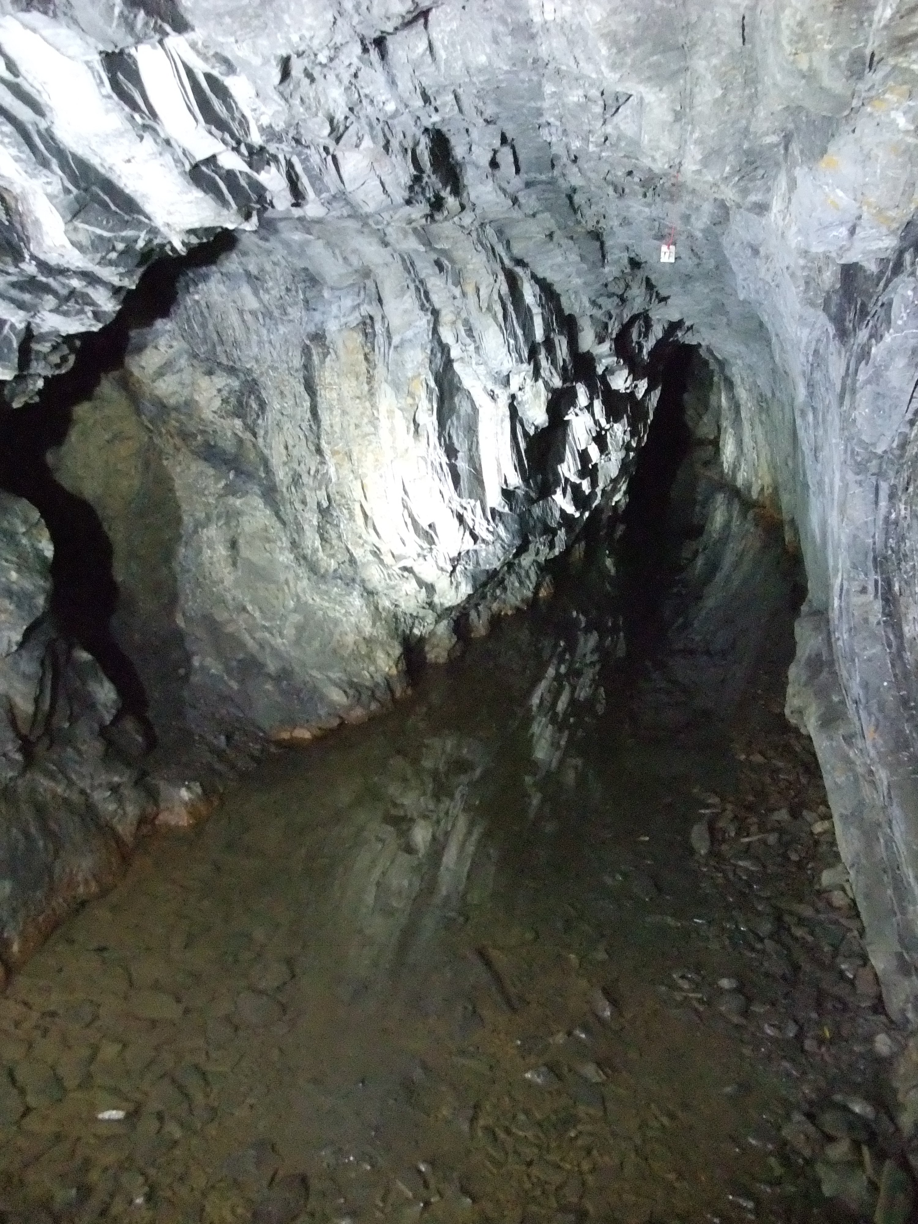
Ecton Mines
A group of mines on Ecton Hill, Staffordshire, are unusual for the Peak District in producing predominantly copper rather than lead and zinc. The most...

Hulme End
Hulme End () is a small hamlet in Staffordshire, England, in the Peak District National Park 10 miles north of Ashbourne, Derbyshire. A natural gateway...
Ecton, Staffordshire
Ecton is a hamlet in the Staffordshire Peak District (grid reference SK096584). It is on the Manifold Way, an 8-mile (13 km) walk and cycle path that follows...
Hulme End railway station
Hulme End railway station is a disused railway station in Staffordshire, England. The station was the terminus of the 2 ft 6 in (762 mm) Leek and Manifold...
Nearby Amenities
Located within 500m of 53.112268,-1.817089Have you been to Narrowdale Hill?
Leave your review of Narrowdale Hill below (or comments, questions and feedback).