Cockle Hill

Hill, Mountain in Yorkshire Harrogate

England

Cockle Hill

Moorland view Looking NEE towards the Lofthouse moorland road from the bridlepath at MR: SE11027505.
Moorland view Credit: Andy Beecroft

Cockle Hill is a prominent geographical feature located in the county of Yorkshire, England. Situated in the northern part of the county, it is considered a hill rather than a mountain due to its elevation of approximately 320 meters (1,050 feet) above sea level. The hill forms part of the wider North York Moors National Park, a renowned area of natural beauty.

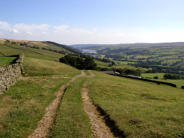
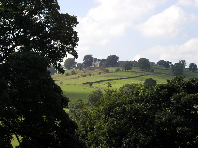
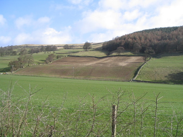
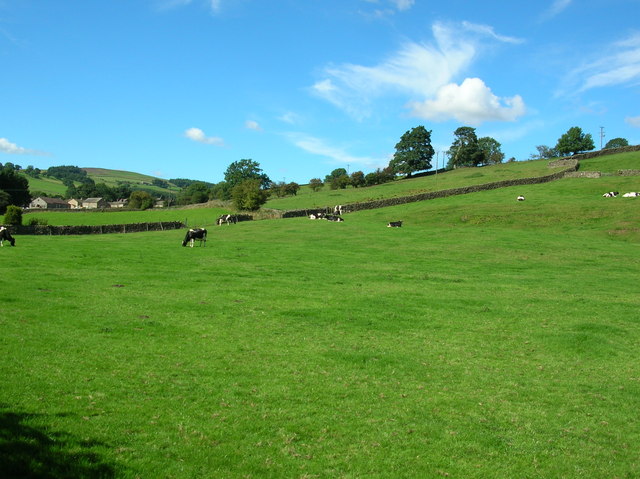
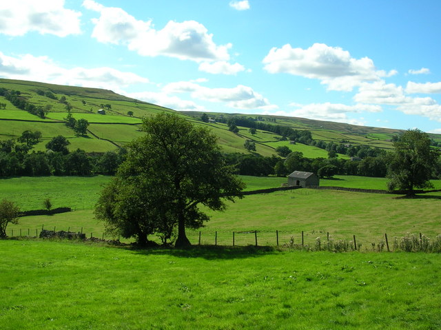
Cockle Hill boasts stunning panoramic views of the surrounding countryside, making it a popular spot for outdoor enthusiasts and nature lovers. Its location at the edge of the national park allows for unobstructed vistas stretching across vast expanses of rolling hills, picturesque valleys, and scattered woodland.

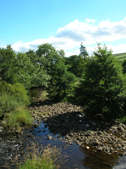
The hill itself is characterized by its gentle slopes, covered in heather and patches of grass. These open spaces provide habitat for a variety of wildlife, including birds, rabbits, and occasional grazing sheep. The area is also known for its diverse flora, with a wide range of wildflowers and plant species found along the hillside.

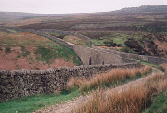
A network of footpaths and bridleways crisscrosses Cockle Hill, offering opportunities for hikers and cyclists to explore the area. The hill is a favorite destination for outdoor activities such as walking, jogging, picnicking, and photography. The surrounding landscape lends itself to a peaceful and tranquil atmosphere, attracting visitors seeking solace and a connection with nature.

Overall, Cockle Hill in Yorkshire is a captivating natural landmark, offering visitors a chance to immerse themselves in the stunning scenery and experience the tranquility of the North York Moors National Park.

If you have any feedback on the listing, please let us know in the comments section below.
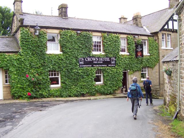
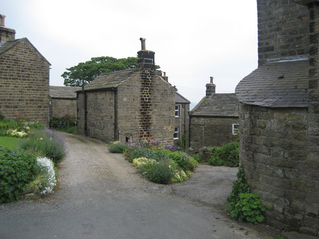
Cockle Hill Images

Images are sourced within 2km of 54.161886/-1.8185627 or Grid Reference SE1174. Thanks to Geograph Open Source API. All images are credited.

Moorland view Looking NEE towards the Lofthouse moorland road from the bridlepath at MR: SE11027505.
Moorland view
Looking NEE towards the Lofthouse moorland road from the bridlepath at MR: SE11027505.
Moorland road Taken at MR: SE11307475 looking in a north easterly direction.
Moorland road
Taken at MR: SE11307475 looking in a north easterly direction.
Looking towards Blayshaw Gill Taken from the minor road at the other side of the valley towards Blayshaw Gill at MR: SE10927428 looking in a south westerly direction.
Looking towards Blayshaw Gill
Taken from the minor road at the other side of the valley towards Blayshaw Gill at MR: SE10927428 looking in a south westerly direction.
The view over to Gouthwaite Reservoir Picture looking southwards from MR: SE10737388 towards Gouthwaite Reservoir from the minor road.
The view over to Gouthwaite Reservoir
Picture looking southwards from MR: SE10737388 towards Gouthwaite Reservoir from the minor road.
Looking towards Middlesmoor Picture taken from MR: SE10137356 looking NWW towards Middlesmoor.
Looking towards Middlesmoor
Picture taken from MR: SE10137356 looking NWW towards Middlesmoor.
Nidderdale Looking North East from road between Ramsgill and Lofthouse
Nidderdale
Looking North East from road between Ramsgill and Lofthouse
High Ash Head Moor The road from Lofthouse to Leighton Reservoir goes through Heather moorland.  Similar view both sides of the road.  Good place to see Red Grouse.
High Ash Head Moor
The road from Lofthouse to Leighton Reservoir goes through Heather moorland. Similar view both sides of the road. Good place to see Red Grouse.
Thrope Laithe, Lofthouse Laithe (barn) at Thrope Farm by the River Nidd near Lofthouse.  The name Thrope dates back to monks at Fountain Abbey time as it was one of the granges. The name use to be Thope or Toope on the 1775 map.
Thrope Laithe, Lofthouse
Laithe (barn) at Thrope Farm by the River Nidd near Lofthouse. The name Thrope dates back to monks at Fountain Abbey time as it was one of the granges. The name use to be Thope or Toope on the 1775 map.
Thrope Edge Taken from the Scar House road. The shooting lodge stands just right of centre along the top of Thrope Edge.
Thrope Edge
Taken from the Scar House road. The shooting lodge stands just right of centre along the top of Thrope Edge.
Lofthouse The village of Lofthouse in the Nidd valley. This is taken from the road junction.
Lofthouse
The village of Lofthouse in the Nidd valley. This is taken from the road junction.
Cows near Lofthouse Looking back towards the village of Lofthouse.
Cows near Lofthouse
Looking back towards the village of Lofthouse.
Across Nidderdale Taken from the bend in the road, this is the view towards the Nidderdale way from between Lofthouse and Ramsgill.
Across Nidderdale
Taken from the bend in the road, this is the view towards the Nidderdale way from between Lofthouse and Ramsgill.
River Nidd Taken from next to the entrance to West House Farm. The Nidd runs from Scar House reservoir along the Nidd Valley through Patley Bridge and Knaresborough and joins with the River Ouse at Nun Monkton. The confluence is seen here: <a href="https://www.geograph.org.uk/photo/184550">SE5157 : Nun Monkton Priory</a>.
River Nidd
Taken from next to the entrance to West House Farm. The Nidd runs from Scar House reservoir along the Nidd Valley through Patley Bridge and Knaresborough and joins with the River Ouse at Nun Monkton. The confluence is seen here: SE5157 : Nun Monkton Priory.
Lulbeck Head Small tract of moorland that marks the source of Lul Beck
Lulbeck Head
Small tract of moorland that marks the source of Lul Beck
Sypeland Crags Rocky outcrops on Fountains Earth Moor
Sypeland Crags
Rocky outcrops on Fountains Earth Moor
Benjy Guide An old stone guidepost on Lofthouse Moor near a junction of old packhorse tracks across the moors.
Benjy Guide
An old stone guidepost on Lofthouse Moor near a junction of old packhorse tracks across the moors.
Lul Beck Bridge, Fountains Earth Moor.
Jenny Twigg and her daughter Tib Two fantastic 15 and 20 feet high eroded stone edifices in the middle of a remote open moor. Jenny & her daughter can be seen for miles around and are well worth a visit.
Jenny Twigg and her daughter Tib
Two fantastic 15 and 20 feet high eroded stone edifices in the middle of a remote open moor. Jenny & her daughter can be seen for miles around and are well worth a visit.
Show me another place!

Cockle Hill is located at Grid Ref: SE1174 (Lat: 54.161886, Lng: -1.8185627)

Division: West Riding

Administrative County: North Yorkshire

District: Harrogate

Police Authority: North Yorkshire

What 3 Words

///dolly.oldest.reclaimed. Near Pateley Bridge, North Yorkshire

Nearby Locations

Cockle Hill

Related Wikis

Skipton and Ripon (UK Parliament constituency)

Skipton and Ripon is a constituency in North Yorkshire represented in the House of Commons of the UK Parliament since 2010 by Julian Smith, a Conservative...

Lofthouse, North Yorkshire

Lofthouse is a small village in Nidderdale in the Harrogate district of North Yorkshire, England about a mile south of Middlesmoor. It is the principal...

Lofthouse-in-Nidderdale railway station

Lofthouse-in-Nidderdale railway station was the northernmost regular passenger terminus on the Nidd Valley Light Railway (NVLR), in Lofthouse, then in...

Middlesmoor

Middlesmoor is a small hill village at the head of Nidderdale in the Harrogate district of North Yorkshire, England. Middlesmoor is the principal settlement...

Nearby Amenities

Located within 500m of 54.161886,-1.8185627
Cockle Hill
Is In: UK,Yorkshire,North Yorkshire,Nidderdale
Is In Country: UK
Is In County: North Yorkshire
Is In Historical County: Yorkshire
Natural: peak
Source: NPE
Lat/Long: 54.1599658/-1.8182066
The data included in this document is from www.openstreetmap.org. The data is made available under ODbL.

Have you been to Cockle Hill?

Leave your review of Cockle Hill below (or comments, questions and feedback).