White Hill

Hill, Mountain in Northumberland

England

White Hill

Gorse and ploughed field Near Smeafield.
Gorse and ploughed field Credit: Walter Baxter

White Hill is a prominent hill located in the county of Northumberland, England. Standing at an elevation of approximately 345 meters (1,132 feet), it is a notable feature of the region's landscape. The hill is situated within the Northumberland National Park, which is renowned for its picturesque beauty and diverse wildlife.

White Hill is characterized by its distinct white appearance, which is attributed to the presence of limestone on its slopes. This geological feature adds to the hill's unique charm and makes it easily distinguishable from its surrounding landscape. The hill offers breathtaking panoramic views of the surrounding countryside, including the Cheviot Hills to the north and the rolling hills of Northumberland to the south.

As part of the Northumberland National Park, White Hill provides an ideal location for outdoor enthusiasts and nature lovers. The hill is traversed by various walking trails, making it a popular destination for hikers and walkers. The surrounding area is also home to a variety of flora and fauna, including heather, bilberry, and diverse bird species such as curlews and skylarks.

White Hill is easily accessible, with a car park located nearby, providing visitors with convenient access to the hill's summit. From the top, one can enjoy breathtaking views of the surrounding countryside, offering a sense of tranquility and connection with nature.

Overall, White Hill is a stunning natural landmark in Northumberland, offering visitors a chance to experience the region's natural beauty and enjoy outdoor activities in a picturesque setting.

If you have any feedback on the listing, please let us know in the comments section below.
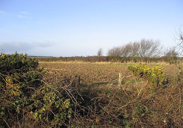
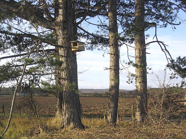
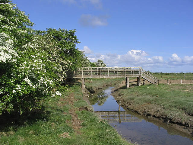
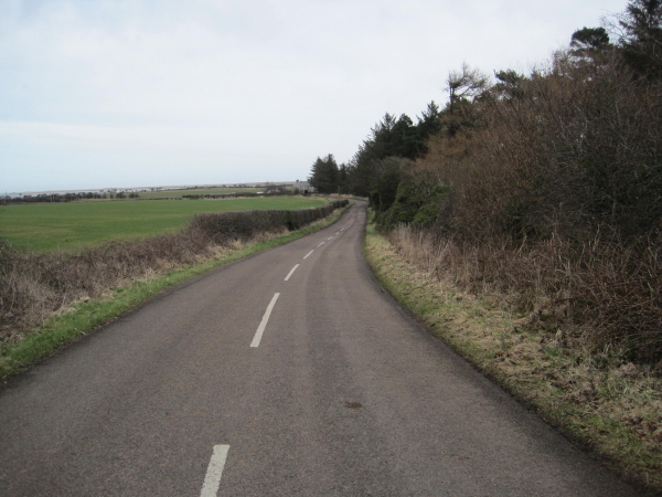
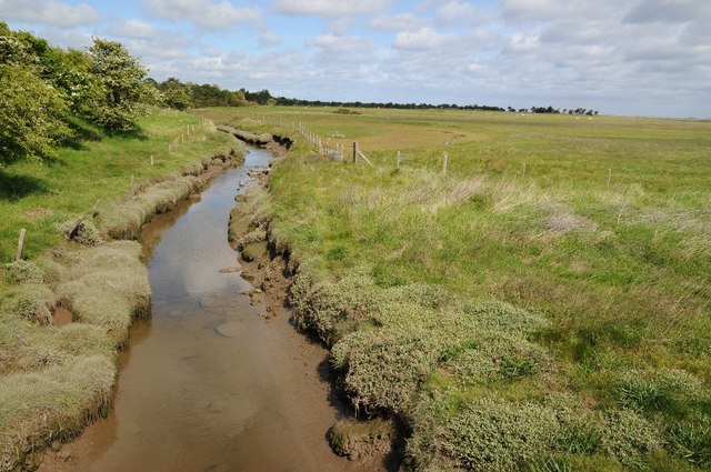
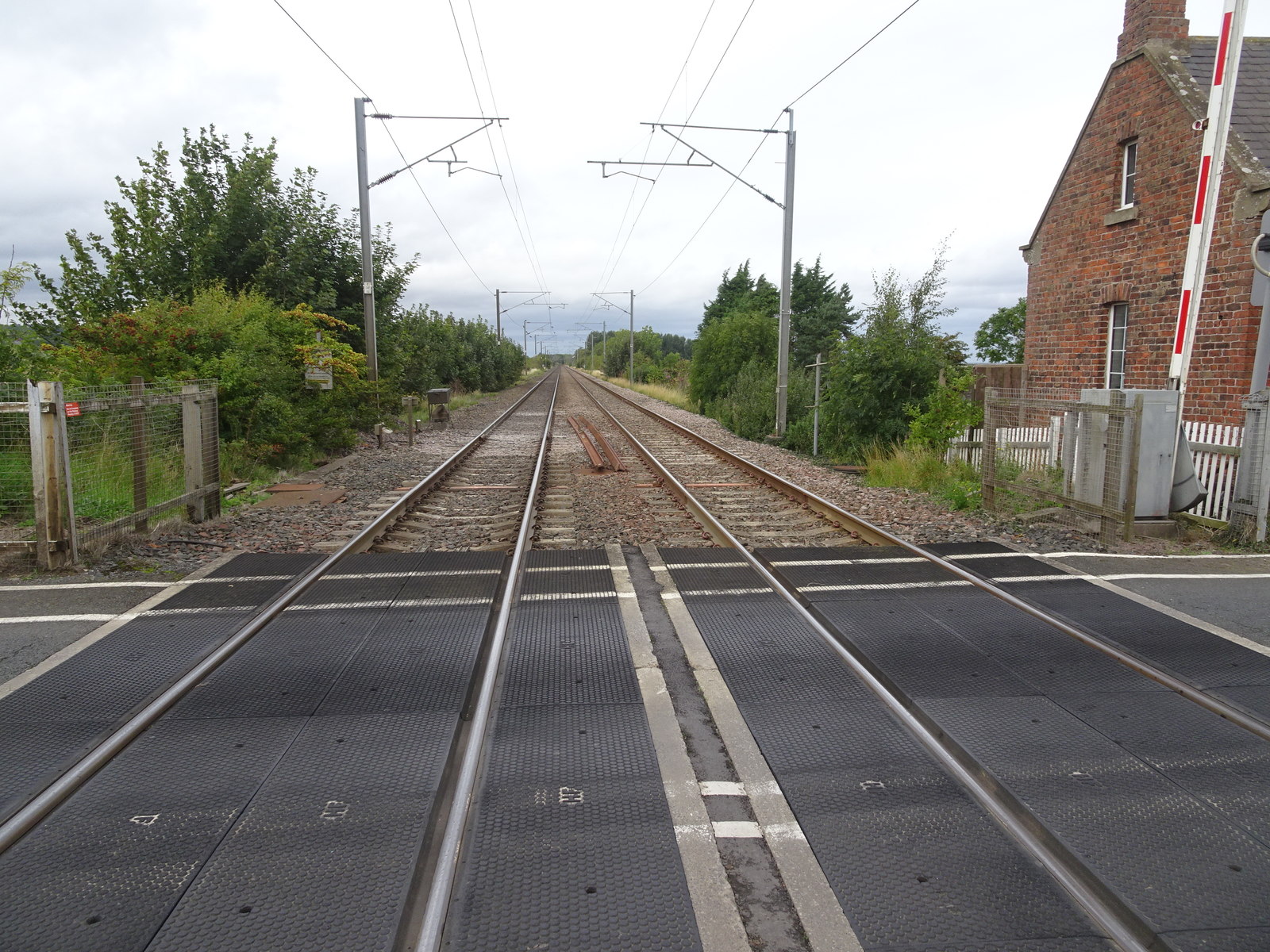
White Hill Images

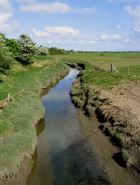
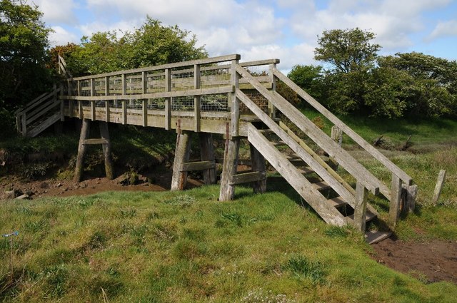
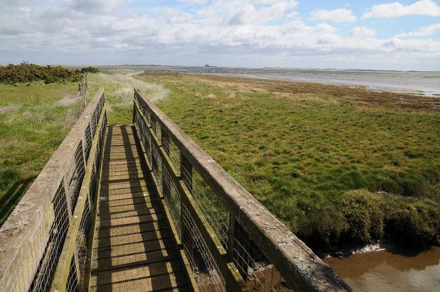
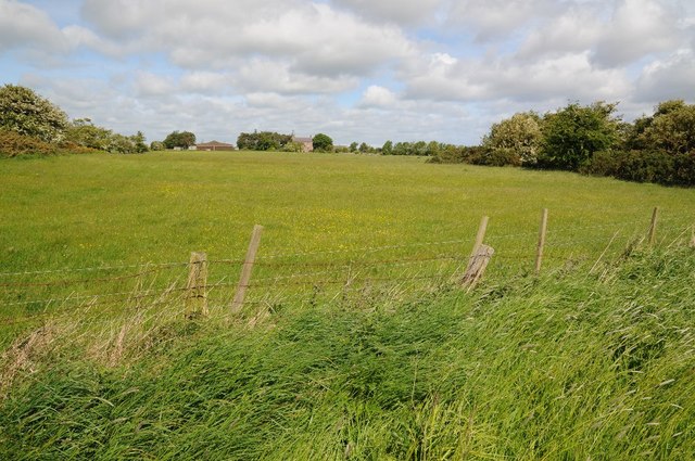
Images are sourced within 2km of 55.634667/-1.820485 or Grid Reference NU1137. Thanks to Geograph Open Source API. All images are credited.

Gorse and ploughed field Near Smeafield.
Gorse and ploughed field
Near Smeafield.
Kestrel box on a pine tree This nest box is in a small clump of pines by the road to Elwick Farm.
Kestrel box on a pine tree
This nest box is in a small clump of pines by the road to Elwick Farm.
Footbridge over the Fenham Burn Provides access near a public footpath to the shoreline at Tealhole Point. In the northeast corner of the square and the grid references confirmed by GPS.
Footbridge over the Fenham Burn
Provides access near a public footpath to the shoreline at Tealhole Point. In the northeast corner of the square and the grid references confirmed by GPS.
Road to Elwick and Bamburgh
The Fenham Burn At the corner of the square, viewed from a footbridge <a href="https://www.geograph.org.uk/photo/444280">NU0938 : Footbridge over the Fenham Burn</a>.
The Fenham Burn
At the corner of the square, viewed from a footbridge NU0938 : Footbridge over the Fenham Burn.
Footbridge over Fenham Burn
View to Lindisfarne View to Lindisfarne over Fenham Flats.  The footbridge crosses Fenham Burn.
View to Lindisfarne
View to Lindisfarne over Fenham Flats. The footbridge crosses Fenham Burn.
Fenham-le-Moor Fenham-le-Moor viewed from the footpath to the south-east.
Fenham-le-Moor
Fenham-le-Moor viewed from the footpath to the south-east.
Fenham Burn Fenham Burn viewed from a footbridge crossing it near Fenham-le-Moor.
Fenham Burn
Fenham Burn viewed from a footbridge crossing it near Fenham-le-Moor.
Pasture near Smeafield
Sheep pasture near Smeafield A grass field with White Clover.
Sheep pasture near Smeafield
A grass field with White Clover.
Arable land, Fenham le Moor Wide headlands on fields beside the coast opposite Holy Island.
Arable land, Fenham le Moor
Wide headlands on fields beside the coast opposite Holy Island.
Salt marsh, Fenham le Moor
Public bridleway towards Fenham-le-Moor
Derelict barn by East Coast Main Line
Railway Plantation Viewed from the railway.
Railway Plantation
Viewed from the railway.
Railway Plantation Patch of woodland alongside a small stream marked on old maps as Kettle Burn.  The track in the foreground is byway 238/010 linking the C59 Elwick-A1 road with C58 at Detchant Lodge.  The overhead wires of the East Coast Main Line, after which the wood is presumably named, can just be seen on the right of the photo.
Railway Plantation
Patch of woodland alongside a small stream marked on old maps as Kettle Burn. The track in the foreground is byway 238/010 linking the C59 Elwick-A1 road with C58 at Detchant Lodge. The overhead wires of the East Coast Main Line, after which the wood is presumably named, can just be seen on the right of the photo.
Railway Plantation Looking along the edge of a patch of woodland named Railway Plantation.
Railway Plantation
Looking along the edge of a patch of woodland named Railway Plantation.
Show me another place!

White Hill is located at Grid Ref: NU1137 (Lat: 55.634667, Lng: -1.820485)

Unitary Authority: Northumberland

Police Authority: Northumbria

What 3 Words

///pinging.bristle.local. Near Belford, Northumberland

Nearby Locations

White Hill Middleton

Related Wikis

Smeafield railway station

Smeafield railway station served the farmstead of Smeafield, Northumberland, England from 1871 to 1930 on the East Coast Main Line. == History == The station...

Crag Mill railway station

Crag Mill railway station served the village of Belford, Northumberland, England from around 1862 to 1877 on the East Coast Main Line. == History == The...

Middleton Hall, Middleton, Northumberland

Middleton Hall is a country house near the settlement of Middleton, Northumberland, in that parish, that dates from 1871. It is listed Grade II on the...

Easington, Northumberland

Easington is a place and former civil parish, now in the parish of Belford about 14 miles from Alnwick, in the county of Northumberland, England. In 2011...

Nearby Amenities

Located within 500m of 55.634667,-1.820485
White Hill
Place: locality
Lat/Long: 55.6352711/-1.8261361
The data included in this document is from www.openstreetmap.org. The data is made available under ODbL.

Have you been to White Hill?

Leave your review of White Hill below (or comments, questions and feedback).