Gallows Hill
Hill, Mountain in Gloucestershire Cotswold
England
Gallows Hill

Gallows Hill is a prominent geographical feature located in Gloucestershire, England. Standing at an elevation of approximately 300 meters, it is classified as a hill rather than a mountain due to its modest height. The hill is situated in the southern part of the county, near the town of Stroud, and is a notable landmark in the region.
The name Gallows Hill has historical significance, as it is thought to have been the site of public executions in the past. This macabre past is reflected in the name, which suggests a place where gallows were erected for the purpose of hanging criminals. However, no concrete evidence exists to verify these claims, and the true origin of the name remains a subject of speculation.
From a geographical standpoint, Gallows Hill offers stunning panoramic views of the surrounding countryside. Its elevated position provides a vantage point from which visitors can admire the rolling hills, verdant valleys, and picturesque villages that define the Gloucestershire landscape. The hill is also adorned with lush greenery, making it a popular spot for nature enthusiasts and hikers.
Access to Gallows Hill is relatively straightforward, with several footpaths leading up to its summit. These trails are well-maintained, allowing visitors to enjoy a leisurely stroll or a more challenging hike, depending on their preferences. The hill attracts a diverse range of visitors, including locals seeking outdoor recreation and tourists looking to experience the natural beauty of Gloucestershire.
Overall, Gallows Hill is a captivating location that offers both historical intrigue and stunning views, making it a noteworthy destination for those exploring the Gloucestershire countryside.
If you have any feedback on the listing, please let us know in the comments section below.
Gallows Hill Images
Images are sourced within 2km of 51.844656/-1.8360975 or Grid Reference SP1116. Thanks to Geograph Open Source API. All images are credited.


![A circular walk around Northleach [31] The track, a restricted byway and part of the long distance Monarch's Way, descends gently past this fine Copper Beech.
The route heads south from Northleach before heading west to Winterwell Barn and across the Fosse Way. The way is then north towards the picturesque village of Hampnett where the route turns east to run alongside the A40 road before a turn to the south to return to Northleach. Just over 4½ miles.](https://s0.geograph.org.uk/geophotos/07/34/22/7342276_c91d994e.jpg)
![A circular walk around Northleach [32] A view from the track with the village of Hampnett in the distance.
The route heads south from Northleach before heading west to Winterwell Barn and across the Fosse Way. The way is then north towards the picturesque village of Hampnett where the route turns east to run alongside the A40 road before a turn to the south to return to Northleach. Just over 4½ miles.](https://s3.geograph.org.uk/geophotos/07/34/22/7342279_822a26f0.jpg)
![A circular walk around Northleach [33] From the track, a bridleway ascends towards Hampnett House.
The route heads south from Northleach before heading west to Winterwell Barn and across the Fosse Way. The way is then north towards the picturesque village of Hampnett where the route turns east to run alongside the A40 road before a turn to the south to return to Northleach. Just over 4½ miles.](https://s1.geograph.org.uk/geophotos/07/34/22/7342281_9a049378.jpg)
![A circular walk around Northleach [34] The track continues towards Hampnett.
The route heads south from Northleach before heading west to Winterwell Barn and across the Fosse Way. The way is then north towards the picturesque village of Hampnett where the route turns east to run alongside the A40 road before a turn to the south to return to Northleach. Just over 4½ miles.](https://s0.geograph.org.uk/geophotos/07/34/22/7342284_1d5717c6.jpg)
![A circular walk around Northleach [35] Hampnett House, seen from the bridleway. Formerly the village rectory, the house was rebuilt circa 1872 with later additions and alterations. Constructed of dressed, coursed rubble stone and ashlar under a tile roof.
The route heads south from Northleach before heading west to Winterwell Barn and across the Fosse Way. The way is then north towards the picturesque village of Hampnett where the route turns east to run alongside the A40 road before a turn to the south to return to Northleach. Just over 4½ miles.](https://s3.geograph.org.uk/geophotos/07/34/22/7342291_a5147100.jpg)
![A circular walk around Northleach [36] Hampnett House, formerly the village rectory, the house was rebuilt circa 1872 with later additions and alterations. Constructed of dressed, coursed rubble stone and ashlar under a tile roof.
The route heads south from Northleach before heading west to Winterwell Barn and across the Fosse Way. The way is then north towards the picturesque village of Hampnett where the route turns east to run alongside the A40 road before a turn to the south to return to Northleach. Just over 4½ miles.](https://s0.geograph.org.uk/geophotos/07/34/22/7342296_7d62fbee.jpg)
![A circular walk around Northleach [37] A handwritten sign in Hampnett.
The route heads south from Northleach before heading west to Winterwell Barn and across the Fosse Way. The way is then north towards the picturesque village of Hampnett where the route turns east to run alongside the A40 road before a turn to the south to return to Northleach. Just over 4½ miles.](https://s1.geograph.org.uk/geophotos/07/34/31/7343133_fe2749bb.jpg)
![A circular walk around Northleach [38] A Victorian letter box in Hampnett.
The route heads south from Northleach before heading west to Winterwell Barn and across the Fosse Way. The way is then north towards the picturesque village of Hampnett where the route turns east to run alongside the A40 road before a turn to the south to return to Northleach. Just over 4½ miles.](https://s2.geograph.org.uk/geophotos/07/34/31/7343134_220cf194.jpg)
![A circular walk around Northleach [39] As its name implies, Stable House has been converted from former stables. Built in the late 18th or early 19th century of rubble stone under a tile roof, it became a house in the late 20th century.
The route heads south from Northleach before heading west to Winterwell Barn and across the Fosse Way. The way is then north towards the picturesque village of Hampnett where the route turns east to run alongside the A40 road before a turn to the south to return to Northleach. Just over 4½ miles.](https://s0.geograph.org.uk/geophotos/07/34/31/7343136_a469d5bc.jpg)


Gallows Hill is located at Grid Ref: SP1116 (Lat: 51.844656, Lng: -1.8360975)
Administrative County: Gloucestershire
District: Cotswold
Police Authority: Gloucestershire
What 3 Words
///lyricism.published.hockey. Near Northleach, Gloucestershire
Nearby Locations
Related Wikis

RAF Northleach
Royal Air Force Northleach or more simply RAF Northleach is a former Royal Air Force satellite airfield near the Cotswold town of Northleach, Gloucestershire...

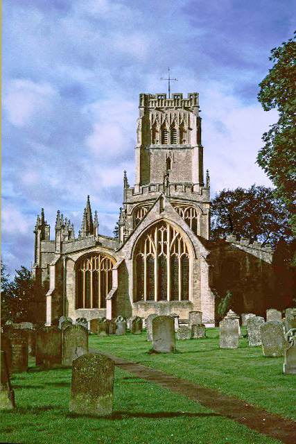
Church of All Saints, Turkdean
The Anglican Church of All Saints at Turkdean in the Cotswold District of Gloucestershire, England was built in the 12th century. It is a grade I listed...
Hampnett
Hampnett is a small village and civil parish in Gloucestershire, England, just west of the Fosse Way. It is situated west of the junction of the A40 and...
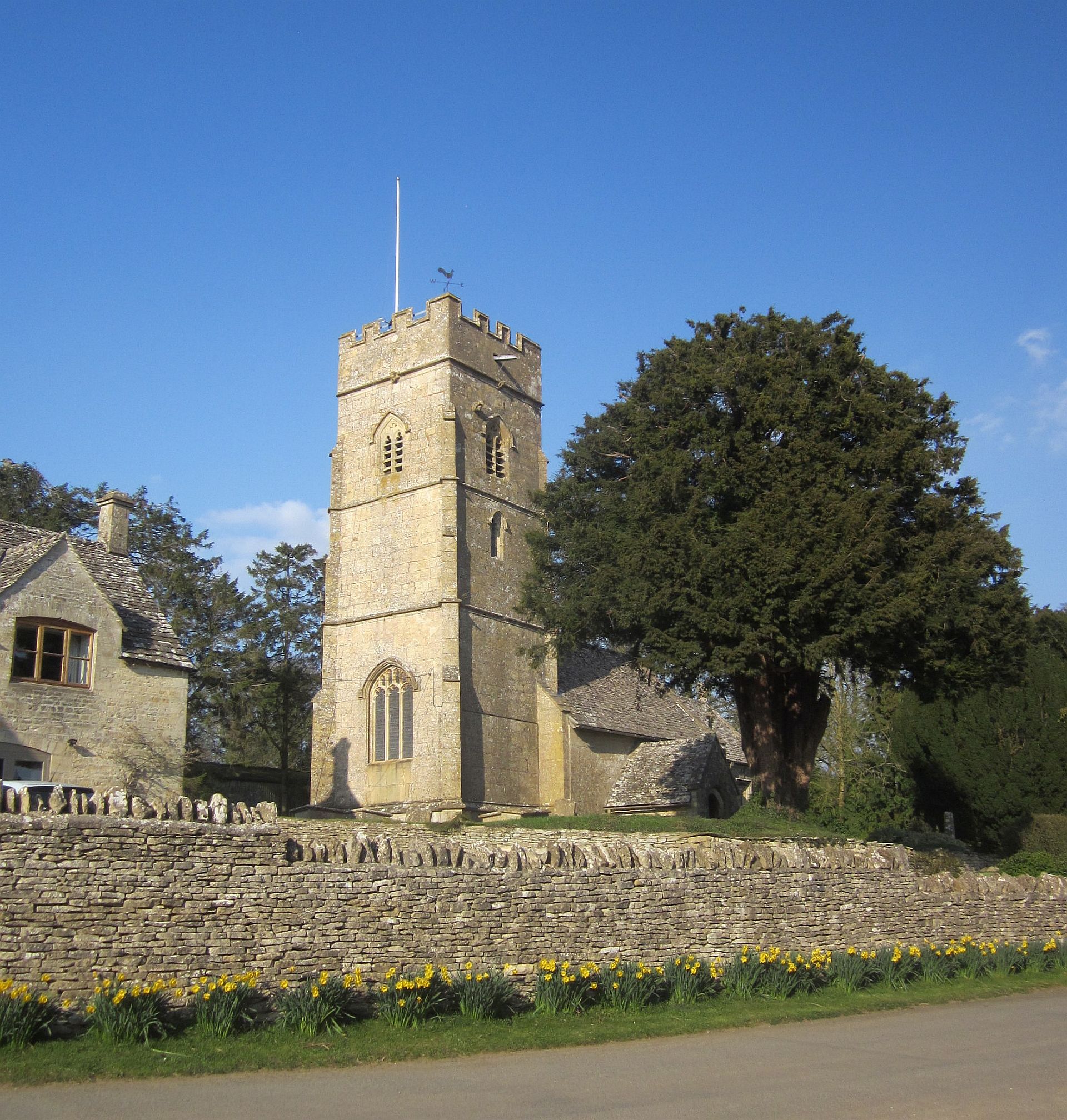
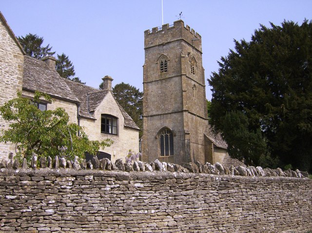
Church of St George, Hampnett
The Anglican Church of St George at Hampnett in the Cotswold District of Gloucestershire, England was built in 12th century. It is a grade I listed building...

Turkdean
Turkdean is a village and civil parish in Gloucestershire, England, approximately 30 km (19 mi) to the east of Gloucester. It lies in the Cotswolds, an...
Northleach
Northleach is a market town and former civil parish, now in parish Northleach with Eastington, in the Cotswold district, in Gloucestershire, England. The...
Farmington, Gloucestershire
Farmington is a village located in the county of Gloucestershire, in England. As of 2011 the village had 112 residents. It is mentioned in the Domesday...

Church of St Peter, Farmington
The Anglican Church of St Peter at Farmington in the Cotswold District of Gloucestershire, England was built in the 12th century. It is a grade I listed...
Related Videos
A Heavenly Morning Walk in the Peaceful Cotswold Village of Hazleton
So, today we are out and about walking in the Cotswold village and civil parish of Hazleton which is located 14 km south-east of ...

A Morning Walk in the Countryside Cotswold Village of Turkdean
So, today we are out and about walking in the Cotswold and civil parish village of Turkdean which is located in the county of ...
A Morning Walk and a Close Encounter of the Bird Kind in a Village | Cotswolds
So, today we are out and about walking in the Cotswold village & civil parish of Cold Aston which is located in Gloucestershire, ...

A Mesmerising Autumnal Morning Walk in the Cotswold Village of Notgrove
So, today we are out and about walking in the Cotswold village & civil parish of Notgrove, which is located in the county of ...
Nearby Amenities
Located within 500m of 51.844656,-1.8360975Have you been to Gallows Hill?
Leave your review of Gallows Hill below (or comments, questions and feedback).