Mere Hill
Hill, Mountain in Staffordshire Staffordshire Moorlands
England
Mere Hill
Mere Hill is a prominent hill located in Staffordshire, England. It is situated near the village of Mere, hence its name. The hill stands at an elevation of approximately 275 meters (902 feet) above sea level, making it a notable landmark in the surrounding area.
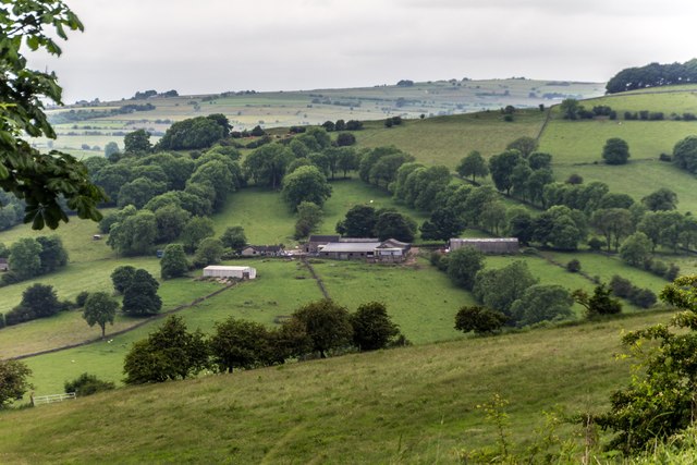
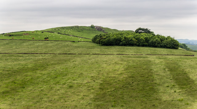
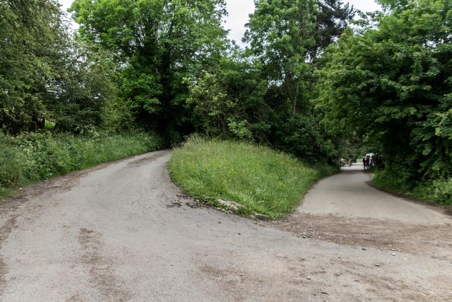
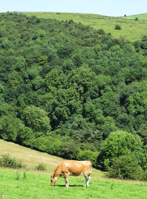
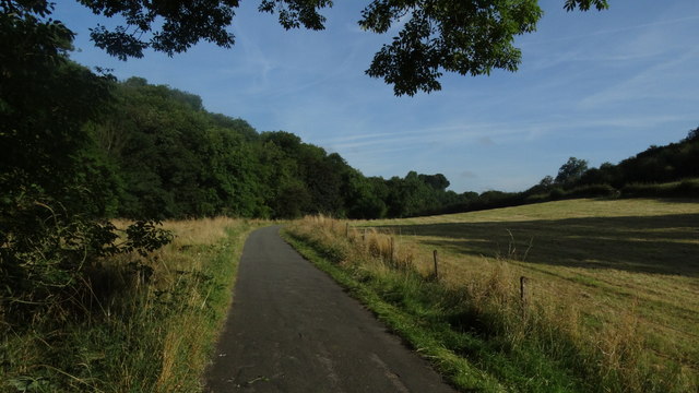
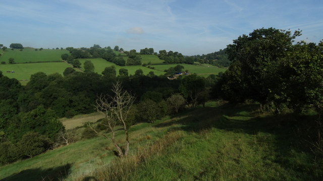
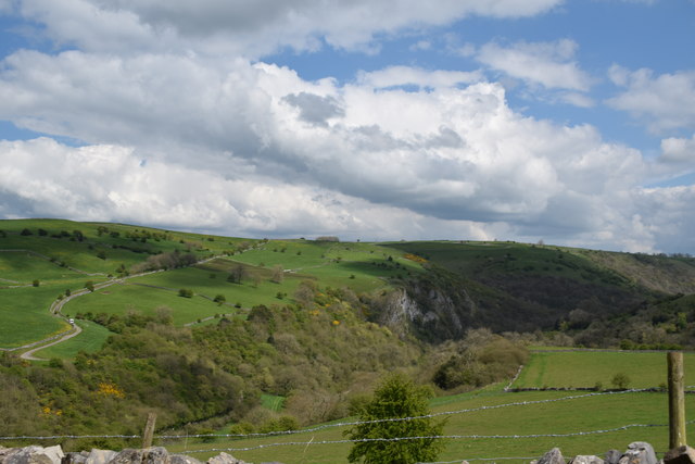
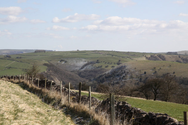
Mere Hill is known for its stunning panoramic views of the Staffordshire countryside and beyond. On a clear day, visitors can see as far as the Peak District National Park to the north and the Shropshire Hills to the west. The hill is a popular destination for hikers and nature enthusiasts, offering a variety of walking trails that cater to all skill levels.
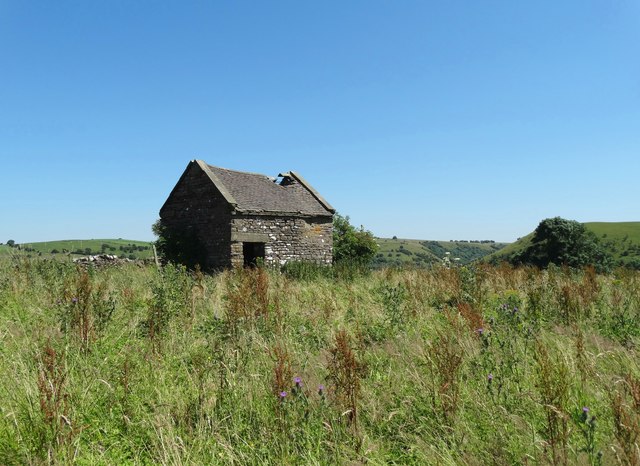
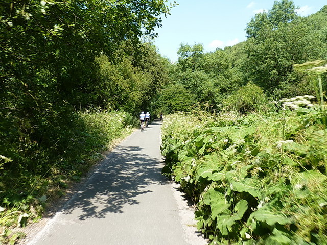
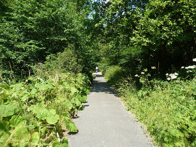
The area surrounding Mere Hill is rich in biodiversity, with a mix of woodland, grassland, and heathland habitats. This provides a home to a diverse range of plant and animal species, making it a great spot for wildlife watching.
Overall, Mere Hill is a picturesque and tranquil location that offers visitors the opportunity to immerse themselves in nature and enjoy the beauty of the Staffordshire countryside.
If you have any feedback on the listing, please let us know in the comments section below.
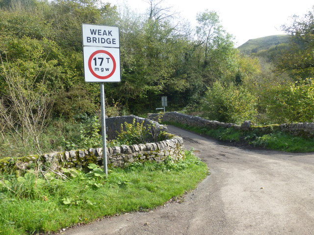
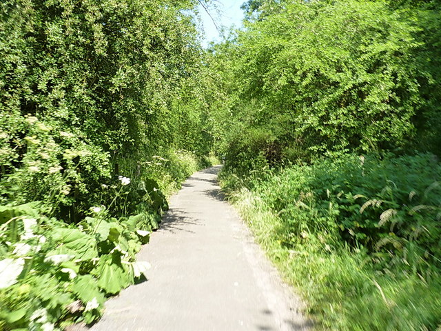
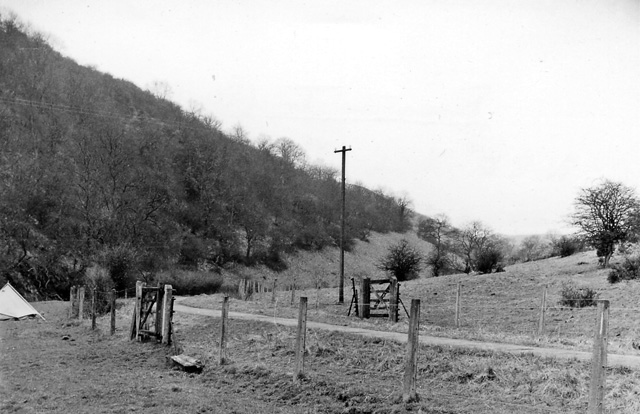
Mere Hill Images
Images are sourced within 2km of 53.070462/-1.8443244 or Grid Reference SK1052. Thanks to Geograph Open Source API. All images are credited.


Mere Hill is located at Grid Ref: SK1052 (Lat: 53.070462, Lng: -1.8443244)
Administrative County: Staffordshire
District: Staffordshire Moorlands
Police Authority: Staffordshire
What 3 Words
///bids.consults.poses. Near Mayfield, Staffordshire
Nearby Locations
Related Wikis
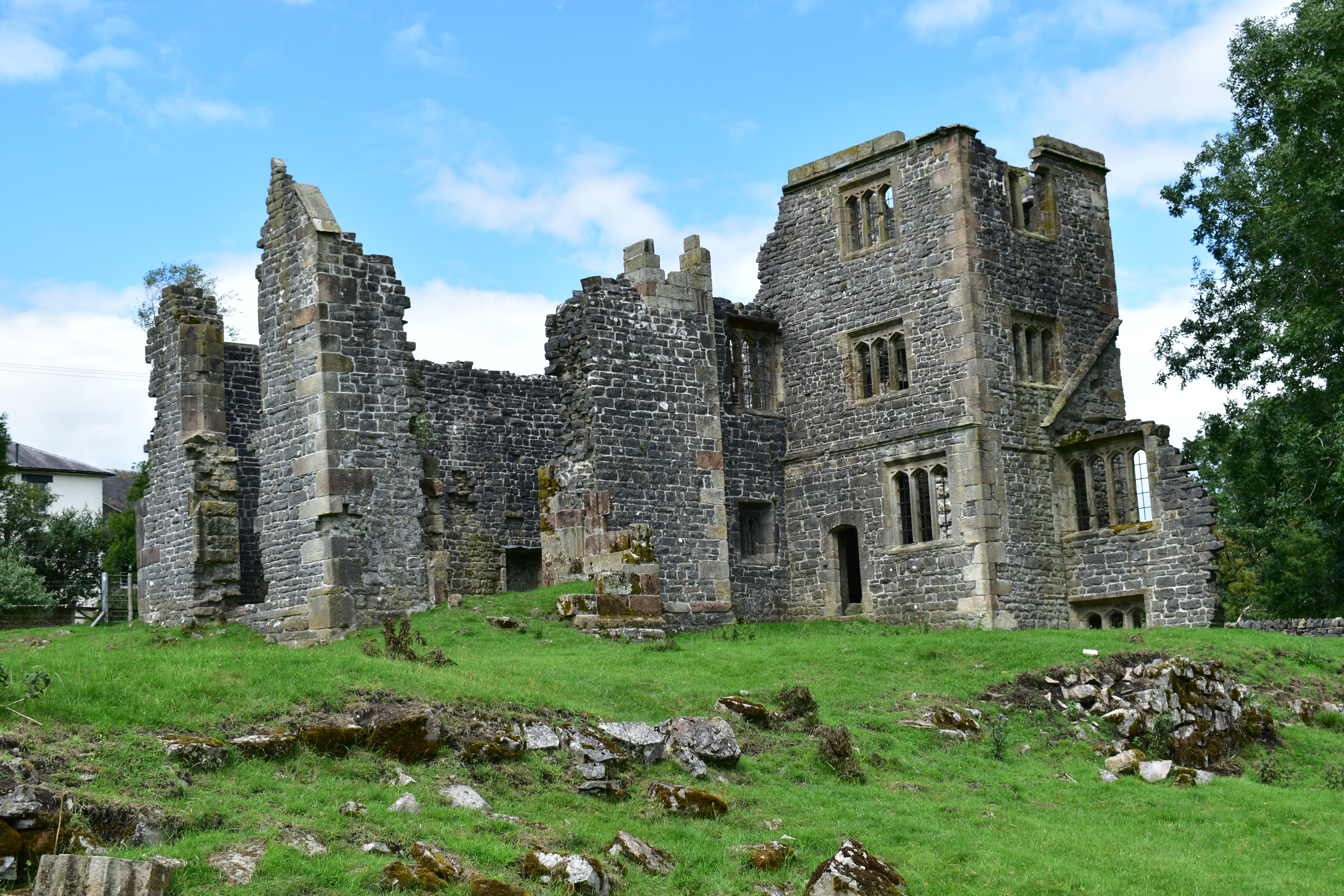
Throwley Old Hall
Throwley Old Hall is a ruined stately home near the village of Calton and adjacent to the River Manifold, in north-east Staffordshire, England. It is a...
Beeston Tor railway station
Beeston Tor railway station was a minor station which served the Beeston Tor in Grindon, Staffordshire. The site is now part of the Manifold Way. ��2...

Sparrowlee railway station
Sparrowlee was the name of a railway station on the Leek and Manifold Valley Light Railway, a 2 ft 6 in (762 mm) narrow gauge line which ran for 8 miles...

Castern Wood
Castern Wood is a nature reserve of the Staffordshire Wildlife Trust. It is an ancient woodland, with scrub and grassland, on the eastern slopes of the...
Nearby Amenities
Located within 500m of 53.070462,-1.8443244Have you been to Mere Hill?
Leave your review of Mere Hill below (or comments, questions and feedback).