Bleaklow Hill
Hill, Mountain in Derbyshire High Peak
England
Bleaklow Hill
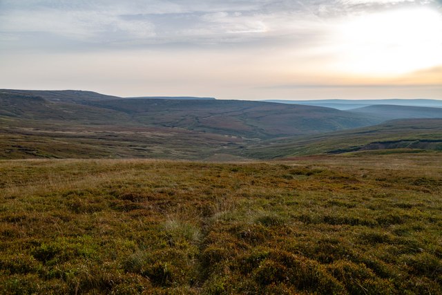
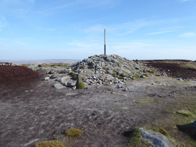
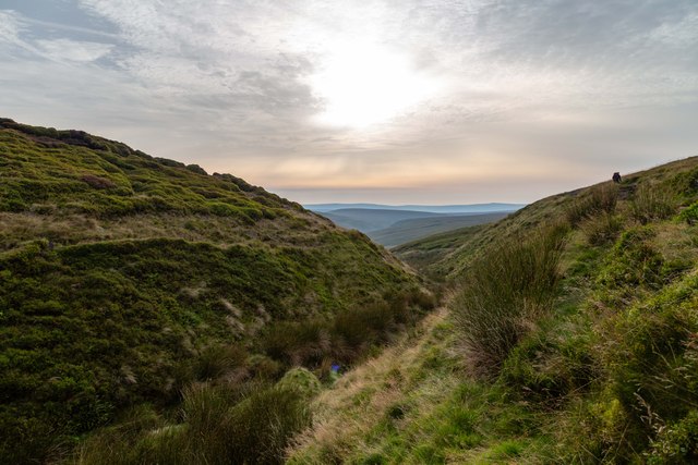
Bleaklow Hill is a prominent and rugged hill located in the Peak District National Park in Derbyshire, England. Standing at an elevation of 633 meters (2,077 feet), it is one of the highest peaks in the area and offers breathtaking panoramic views of the surrounding landscape.
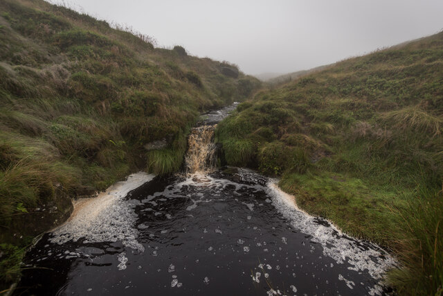
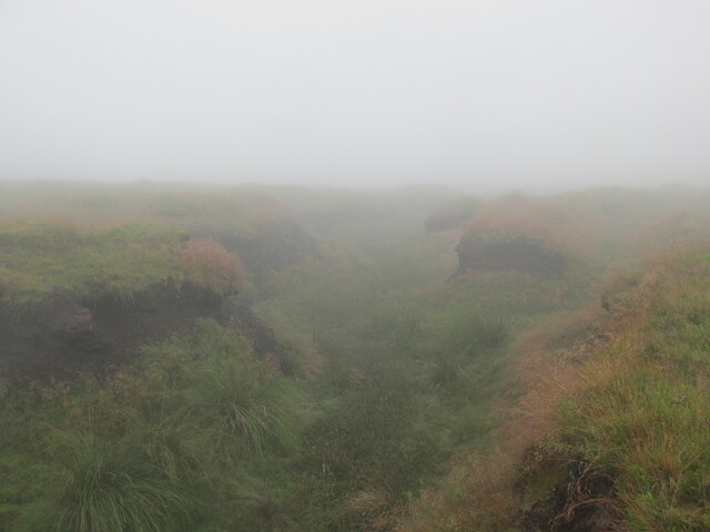
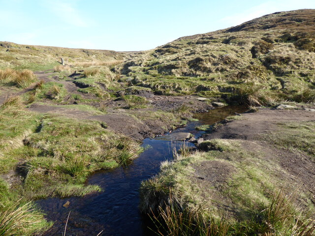
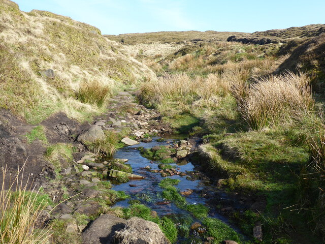
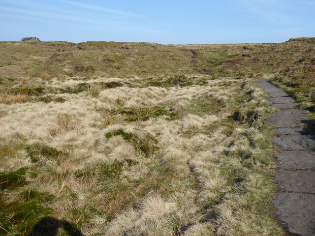
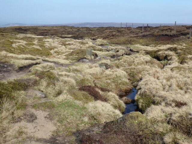
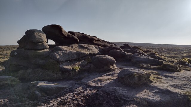
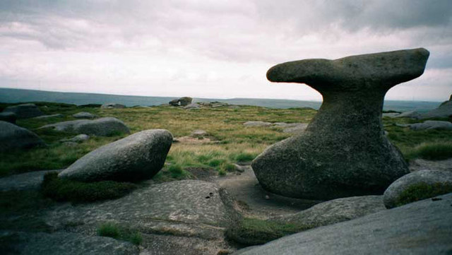
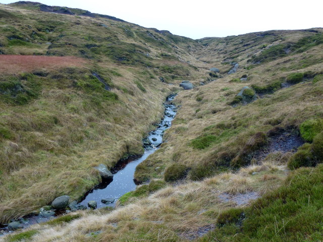
The hill is characterized by its distinctive peat moorland terrain, which gives it a desolate and barren appearance. Bleaklow is often shrouded in mist and fog, creating an eerie and melancholic atmosphere that adds to its name. Despite its bleakness, the hill is home to a diverse range of flora and fauna, including mosses, heathers, and a variety of bird species.
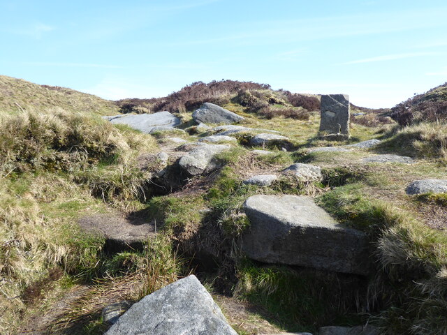
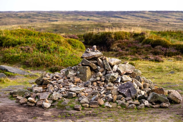
Bleaklow Hill has a rich history, with evidence of human activity dating back thousands of years. The area is dotted with ancient burial mounds, known as cairns, and remnants of prehistoric settlements. Additionally, the hill played a significant role in the development of aviation, as it was used as a training ground for the famous Dambusters during World War II.
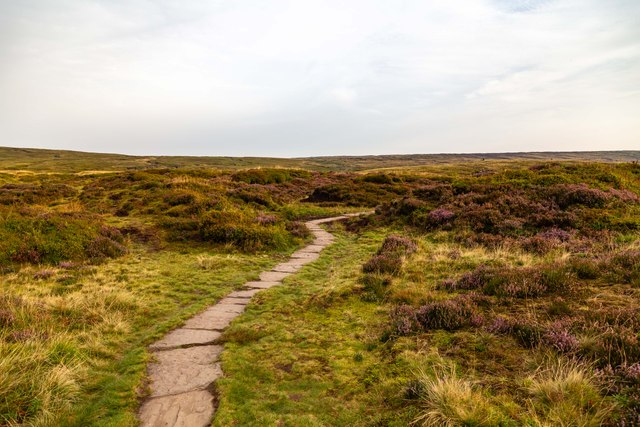
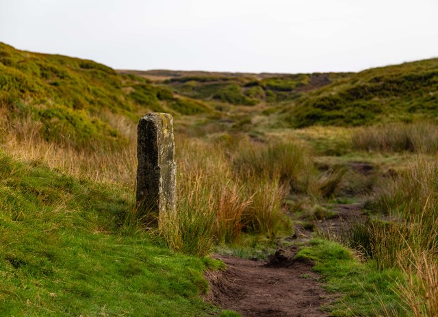
Today, Bleaklow Hill is a popular destination for hikers, nature enthusiasts, and photographers who are drawn to its rugged beauty and wild atmosphere. Several walking routes and trails traverse the hill, allowing visitors to explore its vast expanse and discover its hidden treasures. However, caution must be exercised as the weather on Bleaklow Hill can be unpredictable, and the terrain can be challenging, particularly in winter.
If you have any feedback on the listing, please let us know in the comments section below.
Bleaklow Hill Images
Images are sourced within 2km of 53.463576/-1.8434799 or Grid Reference SK1096. Thanks to Geograph Open Source API. All images are credited.


Bleaklow Hill is located at Grid Ref: SK1096 (Lat: 53.463576, Lng: -1.8434799)
Administrative County: Derbyshire
District: High Peak
Police Authority: Derbyshire
What 3 Words
///initiates.copiers.calibrate. Near Glossop, Derbyshire
Nearby Locations
Related Wikis

Bleaklow
Bleaklow is a high, largely peat-covered, gritstone moorland in the Derbyshire High Peak near the town of Glossop. It is north of Kinder Scout, across...

Bleaklow Bomber
The Bleaklow Bomber was a US Air Force (USAF) Boeing RB-29A Superfortress that crashed near Higher Shelf Stones on Bleaklow in the Peak District in 1948...
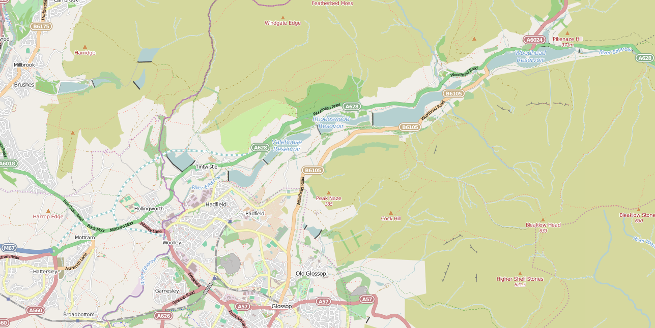
Longdendale Chain
The Longdendale Chain is a sequence of six reservoirs on the River Etherow in the Longdendale Valley, in northern Derbyshire. They were constructed between...
Woodhead railway station
Woodhead railway station was a railway station that served the hamlet of Woodhead on the Woodhead Line. == History == The station was opened on 8 April...
Nearby Amenities
Located within 500m of 53.463576,-1.8434799Have you been to Bleaklow Hill?
Leave your review of Bleaklow Hill below (or comments, questions and feedback).