Oldpark Hill

Hill, Mountain in Staffordshire Staffordshire Moorlands

England

Oldpark Hill

The bed of the River Manifold The river has run completely dry, probably flowing through limestone underground somewhere.
The bed of the River Manifold Credit: Bill Boaden

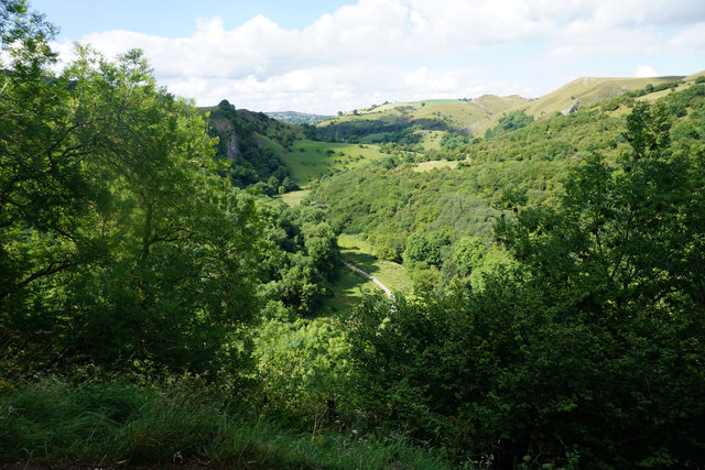
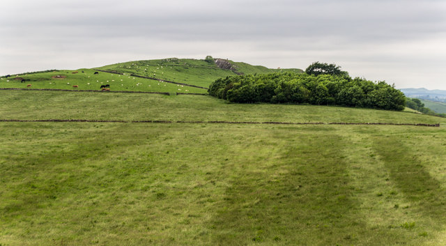
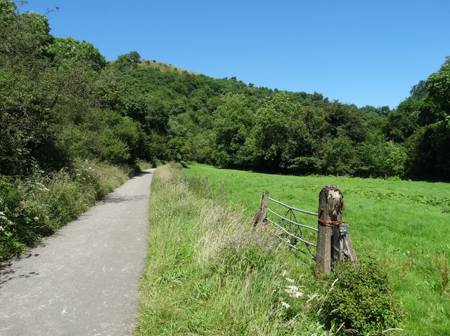
Oldpark Hill, located in Staffordshire, England, is a prominent geographical feature that stands at an elevation of approximately 315 meters above sea level. It is classified as a hill rather than a mountain due to its moderate height. Situated in the northern part of Staffordshire, Oldpark Hill forms part of the beautiful countryside landscape that characterizes the region.

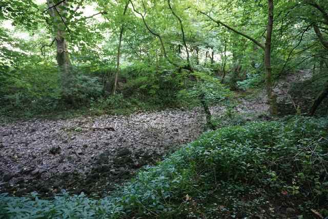
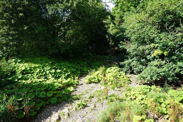
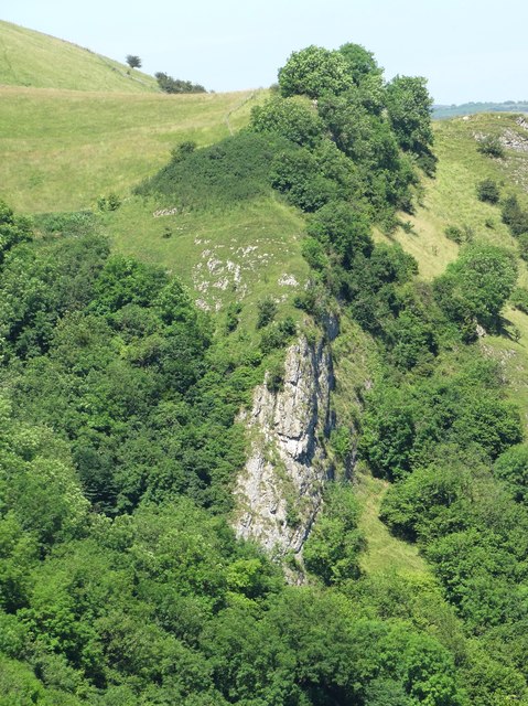
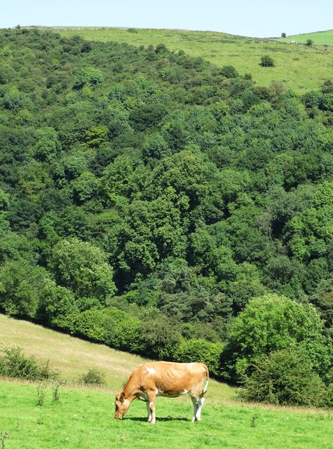
The hill's unique topography showcases a mix of rolling green slopes, rocky outcrops, and patches of dense woodland. Its elevation provides visitors with stunning panoramic views of the surrounding countryside, including the nearby villages and fields that extend for miles.

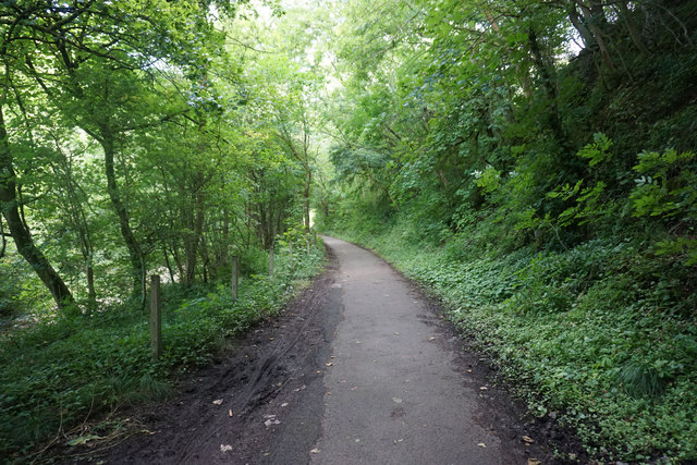
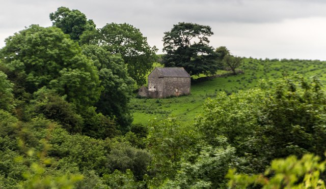
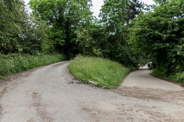
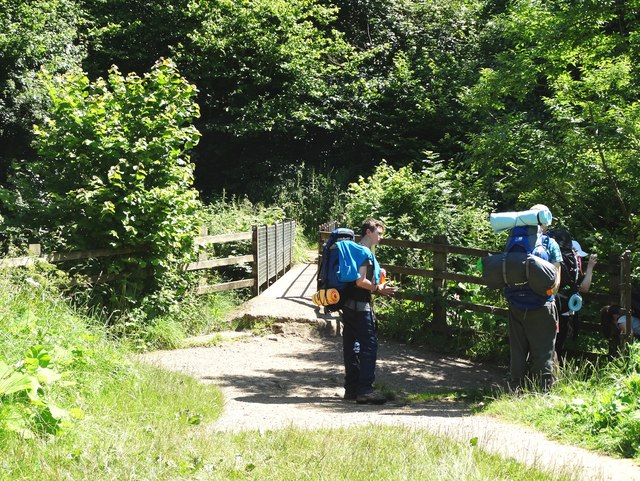
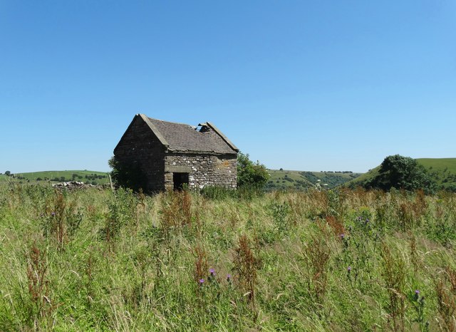
Oldpark Hill is a popular destination for outdoor enthusiasts, offering numerous opportunities for hiking, walking, and nature exploration. A network of well-maintained trails crisscrosses the hill, allowing visitors to traverse its slopes and enjoy its scenic beauty. The hill's diverse flora and fauna also make it an attractive spot for nature lovers and wildlife enthusiasts.

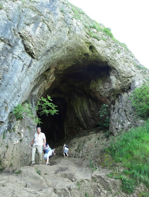
Historically, Oldpark Hill has played a significant role in the local community. It has been mentioned in various historical records and maps dating back centuries. Its strategic location made it an ideal vantage point for monitoring the surrounding areas, and remnants of ancient fortifications can still be found on its summit.

In summary, Oldpark Hill in Staffordshire stands as a picturesque hill with stunning views and rich history. Its accessibility, natural beauty, and recreational opportunities make it a beloved destination for locals and visitors alike.

If you have any feedback on the listing, please let us know in the comments section below.

Oldpark Hill Images

Images are sourced within 2km of 53.079759/-1.845515 or Grid Reference SK1053. Thanks to Geograph Open Source API. All images are credited.

The bed of the River Manifold The river has run completely dry, probably flowing through limestone underground somewhere.
The bed of the River Manifold
The river has run completely dry, probably flowing through limestone underground somewhere.
The Manifold Way A surfaced cycle track along the Manifold Valley, but with little view because of the foliage.
The Manifold Way
A surfaced cycle track along the Manifold Valley, but with little view because of the foliage.
The Manifold Valley Wooded in the bottom, with limestone outcrops above. The foliage ensures that for most of the time, there is not much view of the outcrops.
The Manifold Valley
Wooded in the bottom, with limestone outcrops above. The foliage ensures that for most of the time, there is not much view of the outcrops.
National Trust land below Ossoms Hill The western side of the Manifold Valley, where a path leads towards Grindon.
National Trust land below Ossoms Hill
The western side of the Manifold Valley, where a path leads towards Grindon.
The bed of the River Manifold The river is completely dry.
The bed of the River Manifold
The river is completely dry.
Thor's Cave Situated high above the Manifold Valley.
Thor's Cave
Situated high above the Manifold Valley.
The Manifold Valley The view from Thor's Cave.
The Manifold Valley
The view from Thor's Cave.
Throwley Moor Soles Hill on Throwley Moor.
Throwley Moor
Soles Hill on Throwley Moor.
Thor's Cave Barn near Thor's Cave.
Thor's Cave
Barn near Thor's Cave.
Larkstone Lane Larkstone Lane (left) at Weag's Bridge.
Larkstone Lane
Larkstone Lane (left) at Weag's Bridge.
Ratcliffe Thor's Cave at Ratcliffe.
Ratcliffe
Thor's Cave at Ratcliffe.
Thor's Cave High above the River Manifold. Visited by human beings from the earliest times but still access up into the cave is tricky, especially when the smooth rocky entrance is wet.
Thor's Cave
High above the River Manifold. Visited by human beings from the earliest times but still access up into the cave is tricky, especially when the smooth rocky entrance is wet.
The interior of Thor's Cave Like looking into the throat of some great whale. This cave has been visited by human beings since the earliest times of our history.
The interior of Thor's Cave
Like looking into the throat of some great whale. This cave has been visited by human beings since the earliest times of our history.
Footbridge over The River Manifold Below Thor's Cave
Footbridge over The River Manifold
Below Thor's Cave
A view of Ossom's Crag Viewed from the path that leads from Wetton to Thor's Cave on the opposite side of The Manifold Valley.
A view of Ossom's Crag
Viewed from the path that leads from Wetton to Thor's Cave on the opposite side of The Manifold Valley.
The Manifold Way east of Grindon The Manifold Way follows the exact course of the old Leek and Manifold railway.
The Manifold Way east of Grindon
The Manifold Way follows the exact course of the old Leek and Manifold railway.
Dilapidated field barn above The Manifold Valley
Cow grazing above The Manifold Valley
Show me another place!

Oldpark Hill is located at Grid Ref: SK1053 (Lat: 53.079759, Lng: -1.845515)

Administrative County: Staffordshire

District: Staffordshire Moorlands

Police Authority: Staffordshire

What 3 Words

///name.flinches.swooning. Near Newhaven, Derbyshire

Nearby Locations

Soles Coppice Oldpark Hill

Related Wikis

Beeston Tor railway station

Beeston Tor railway station was a minor station which served the Beeston Tor in Grindon, Staffordshire. The site is now part of the Manifold Way. ��2...
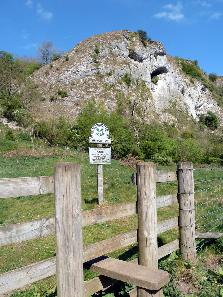
Beeston Tor

Beeston Tor (grid reference SK105540) is a limestone cliff in Staffordshire. It overlooks the confluence of the River Hamps with the River Manifold, and...

Grindon railway station

Grindon railway station was a station on the Leek and Manifold Light Railway. It served the village of Grindon in Staffordshire. The site is now part of...
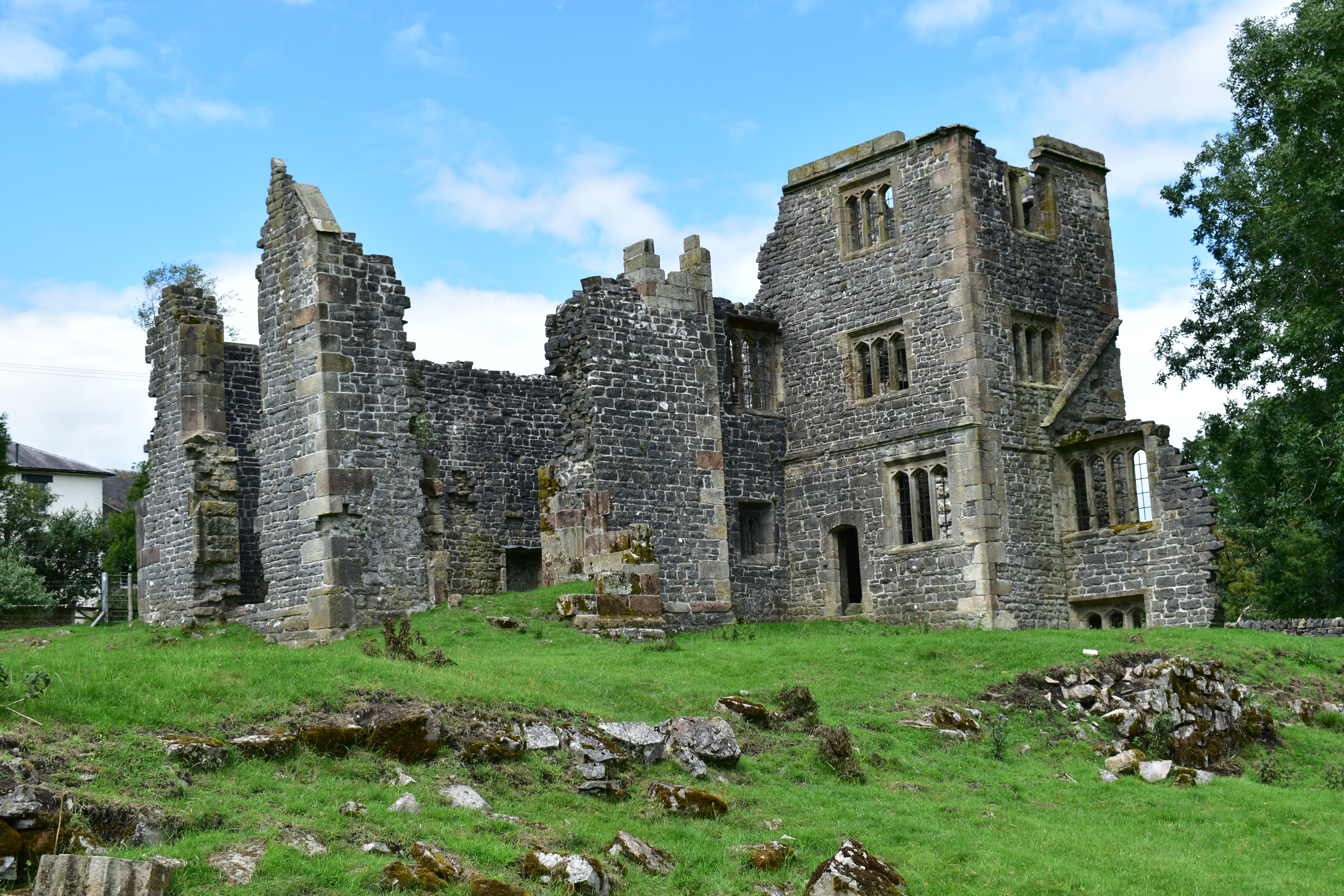
Throwley Old Hall

Throwley Old Hall is a ruined stately home near the village of Calton and adjacent to the River Manifold, in north-east Staffordshire, England. It is a...

Castern Wood

Castern Wood is a nature reserve of the Staffordshire Wildlife Trust. It is an ancient woodland, with scrub and grassland, on the eastern slopes of the...
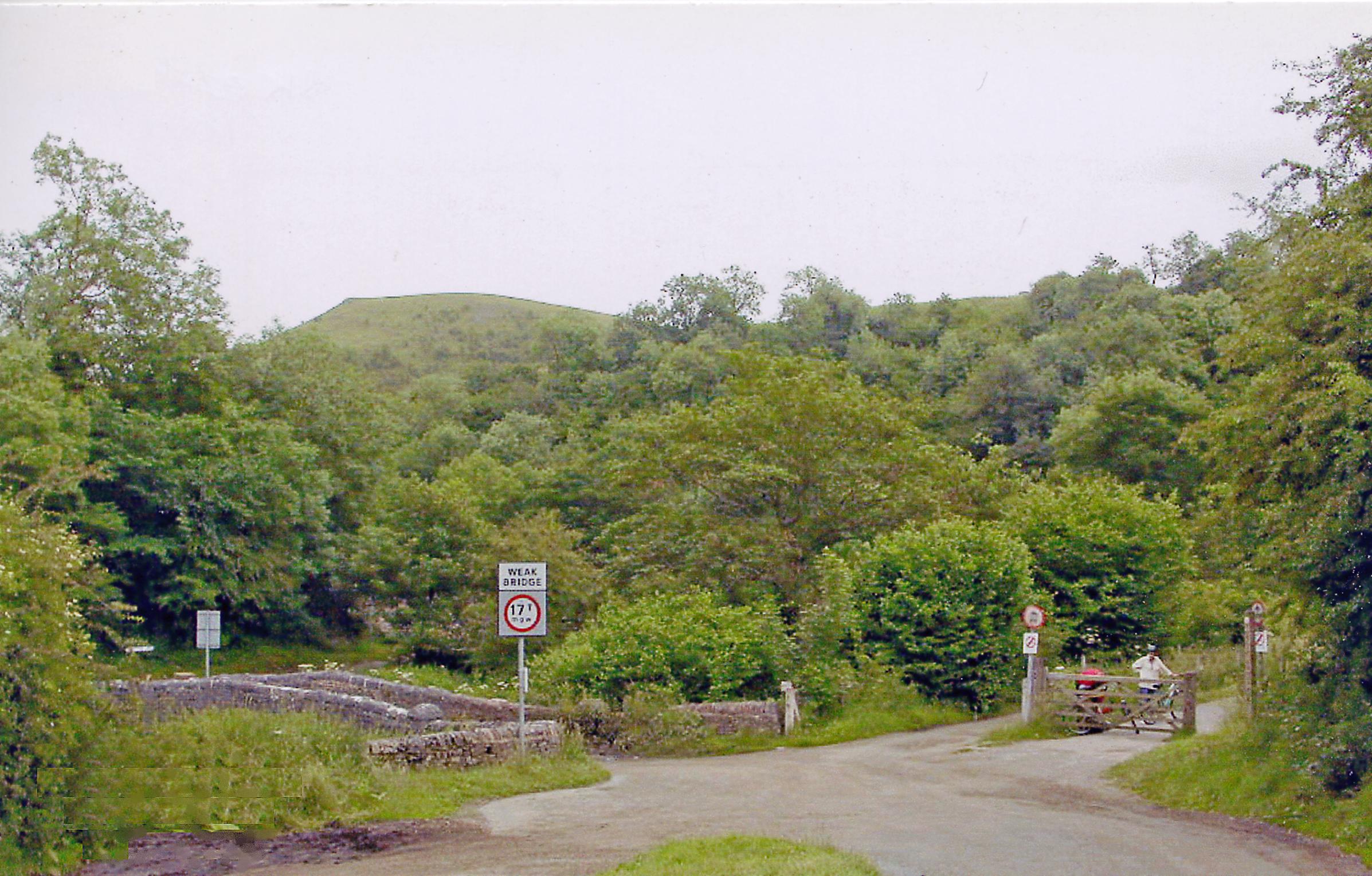
Manifold Way

The Manifold Way is a footpath and cycle way in Staffordshire, England. Some 8 miles (13 km) in length, it runs from Hulme End (53.1307°N 1.8480°W / 53...
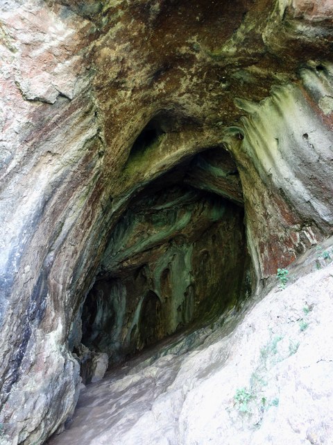
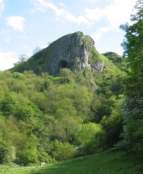
Thor's Cave

Thor's Cave (also known as Thor's House Cavern and Thyrsis's Cave) is a natural cavern located at SK09865496 in the Manifold Valley of the White Peak in...

Thor's Cave railway station

Thor's Cave railway station was a station on the Leek and Manifold Light Railway. Serving the landmark Thor's Cave in Grindon and Wetton. The station site...

Nearby Amenities

Located within 500m of 53.079759,-1.845515
Barrier: stile
Steps: 1
Stile: stepover
Lat/Long: 53.0836114/-1.8475462
Barrier: stile
Ele: 167.3940430
Steps: 1
Stile: stepover
Lat/Long: 53.0784532/-1.851006
Ele: 157
Lat/Long: 53.083085/-1.843977
Ele: 157
Lat/Long: 53.0830837/-1.8440442
Ford: yes
Lat/Long: 53.0831339/-1.8442904
Ele: 165.2310791
Lat/Long: 53.0836292/-1.8441385
Ele: 186.8604736
Lat/Long: 53.0839409/-1.8457859
Barrier: stile
Material: wood
Source: survey;bing;gps
Stile: stepover
Lat/Long: 53.0811674/-1.8407444
Barrier: stile
Material: wood
Source: survey;gps
Stile: stepover
Lat/Long: 53.0826468/-1.846491
WEAG's Barn
Board Type: nature
Information: board
Tourism: information
Lat/Long: 53.0826142/-1.8465319
Information: guidepost
Operator: Peak & Northern Footpaths Society
Ref: 460
Source: survey;gps
Tourism: information
Lat/Long: 53.0769982/-1.8418029
Barrier: stile
Material: stone
Source: survey;gps
Stile: stepover
Lat/Long: 53.0815196/-1.8517678
Old Soles Wood
Place: locality
Lat/Long: 53.0775276/-1.85103
Beeston Tor
Historic Railway: station
Railway: site
Wikidata: Q96373336
Wikipedia: en:Beeston Tor railway station
Lat/Long: 53.0825003/-1.846519
The data included in this document is from www.openstreetmap.org. The data is made available under ODbL.

Have you been to Oldpark Hill?

Leave your review of Oldpark Hill below (or comments, questions and feedback).