Blackoat Hill
Hill, Mountain in Gloucestershire Cotswold
England
Blackoat Hill

Blackoat Hill is a prominent geographical feature located in the county of Gloucestershire, England. Situated in the Cotswold Hills, it is known for its distinctive elevation and scenic beauty. Standing at an impressive height of 287 meters (942 feet) above sea level, the hill offers breathtaking panoramic views of the surrounding countryside.
The hill itself is characterized by its gently sloping sides and is primarily covered in lush green grass and scattered patches of trees. Its summit is relatively flat, allowing visitors to enjoy uninterrupted vistas in all directions. On a clear day, one can see as far as the Malvern Hills to the north and the Severn Estuary to the south.
Blackoat Hill is a popular destination for outdoor enthusiasts and nature lovers. Its accessibility and well-maintained footpaths make it an ideal location for hiking, walking, and picnicking. The hill also offers opportunities for birdwatching, as it attracts a variety of avian species.
In addition to its natural beauty, Blackoat Hill holds historical significance. Evidence of ancient settlements and burial mounds have been discovered in the vicinity, indicating human presence in the area for thousands of years.
Overall, Blackoat Hill in Gloucestershire is an enchanting destination that captivates visitors with its stunning vistas, tranquility, and rich historical heritage.
If you have any feedback on the listing, please let us know in the comments section below.
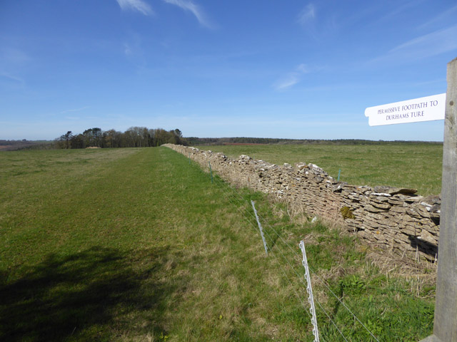
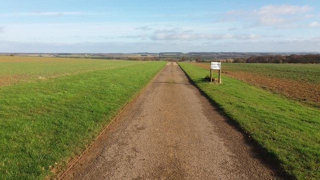
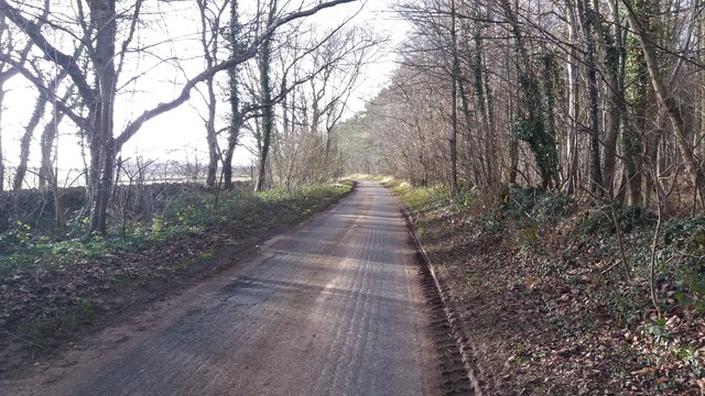
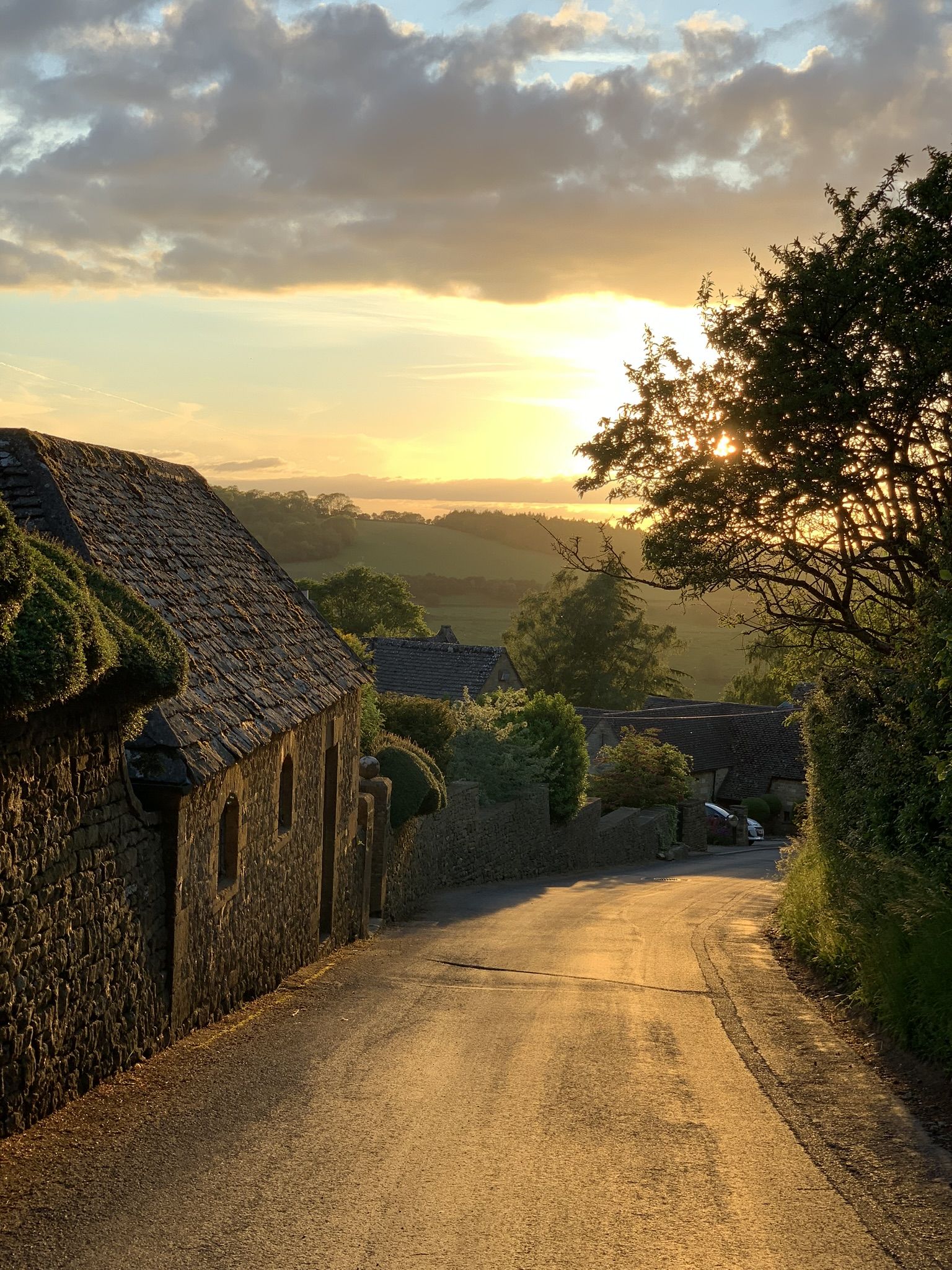
Blackoat Hill Images
Images are sourced within 2km of 51.985648/-1.8553295 or Grid Reference SP1031. Thanks to Geograph Open Source API. All images are credited.


Blackoat Hill is located at Grid Ref: SP1031 (Lat: 51.985648, Lng: -1.8553295)
Administrative County: Gloucestershire
District: Cotswold
Police Authority: Gloucestershire
What 3 Words
///bunny.worked.nooks. Near Broadway, Worcestershire
Nearby Locations
Related Wikis

Cutsdean Quarry
Cutsdean Quarry (grid reference SP105315) is a 0.83-hectare (2.1-acre) nature reserve in Gloucestershire, England. The site is listed in the 'Cotswold...
Snowshill
Snowshill (locally SNOH-zəl, SNOZ-əl) is a small Cotswolds village and civil parish in Gloucestershire, England, located near Broadway, Worcestershire...

Hornsleasow Roughs
Hornsleasow Roughs (grid reference SP117323) is a 28.24-hectare (69.8-acre) biological Site of Special Scientific Interest in Gloucestershire, notified...
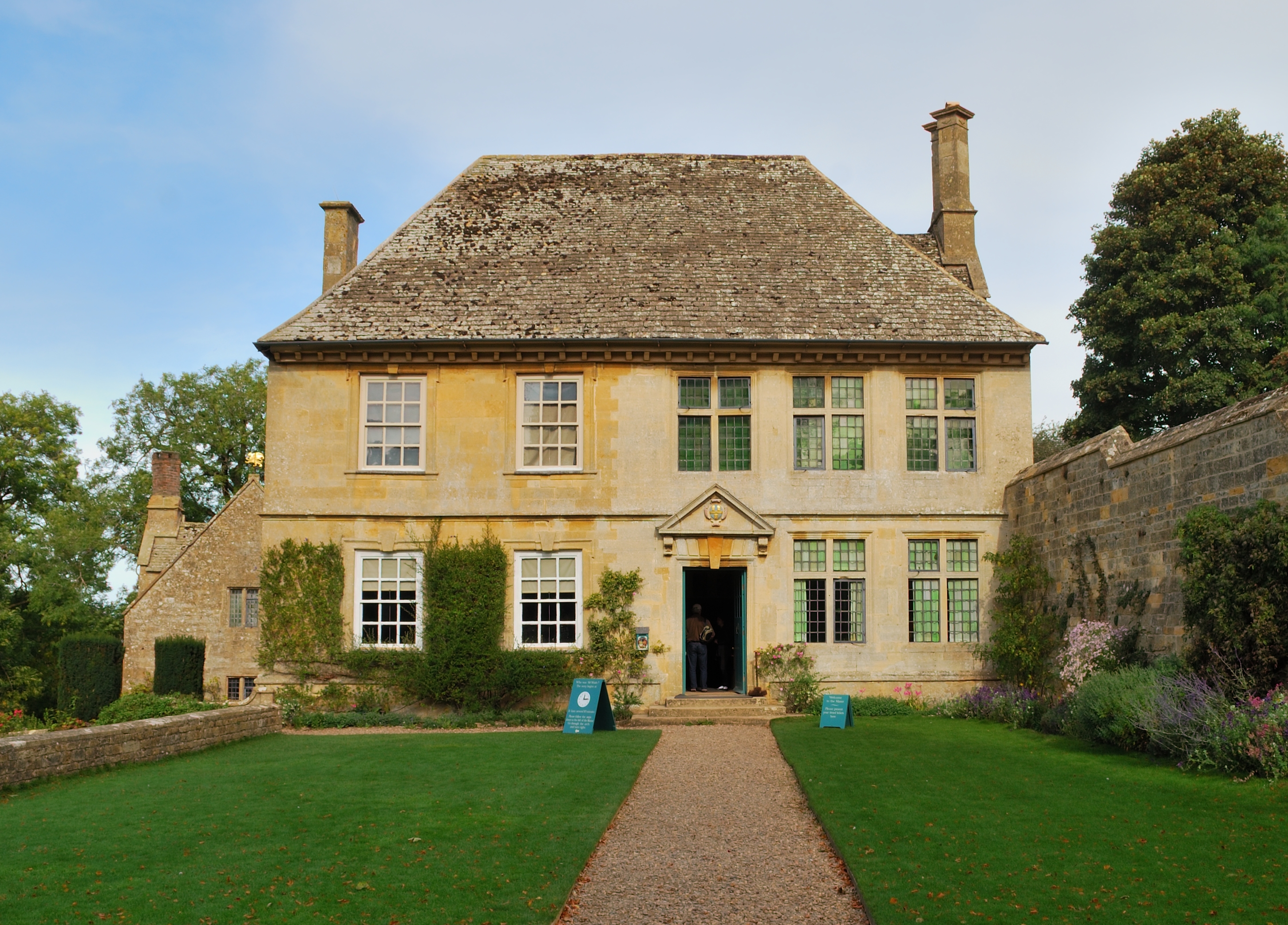
Snowshill Manor
Snowshill Manor is a National Trust property located in the village of Snowshill, Gloucestershire, United Kingdom. It is a sixteenth-century country house...
Cutsdean
Cutsdean is a rural village in the Cotswolds and smaller than average sized parish, a few miles east north-east of Cheltenham, Gloucestershire and the...

Jackdaw Quarry
Jackdaw Quarry (grid reference SP077309) is a 4.78-hectare (11.8-acre) geological Site of Special Scientific Interest in Gloucestershire, notified in 1985...

Ford, Gloucestershire
Ford is a hamlet in Gloucestershire, England. Ford lies on the B4077 road where it crosses the upper reaches of the River Windrush between Tewkesbury and...

Hornsleasow Quarry
Hornsleasow Quarry (grid reference SP131322) is a 3.5-hectare (8.6-acre) geological Site of Special Scientific Interest in Gloucestershire, notified in...
Have you been to Blackoat Hill?
Leave your review of Blackoat Hill below (or comments, questions and feedback).