Ecton Hill
Hill, Mountain in Staffordshire Staffordshire Moorlands
England
Ecton Hill
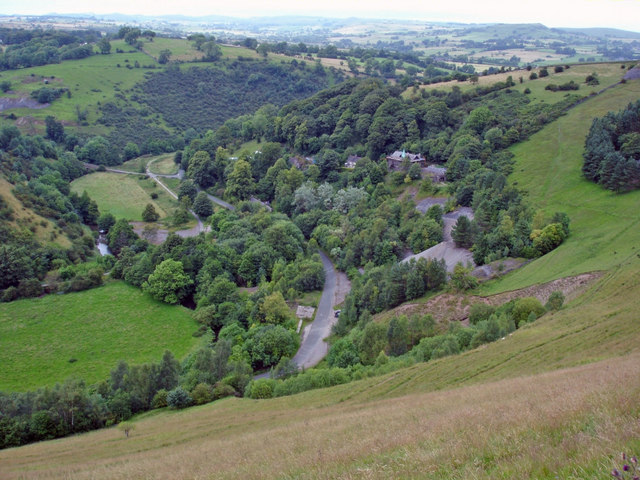
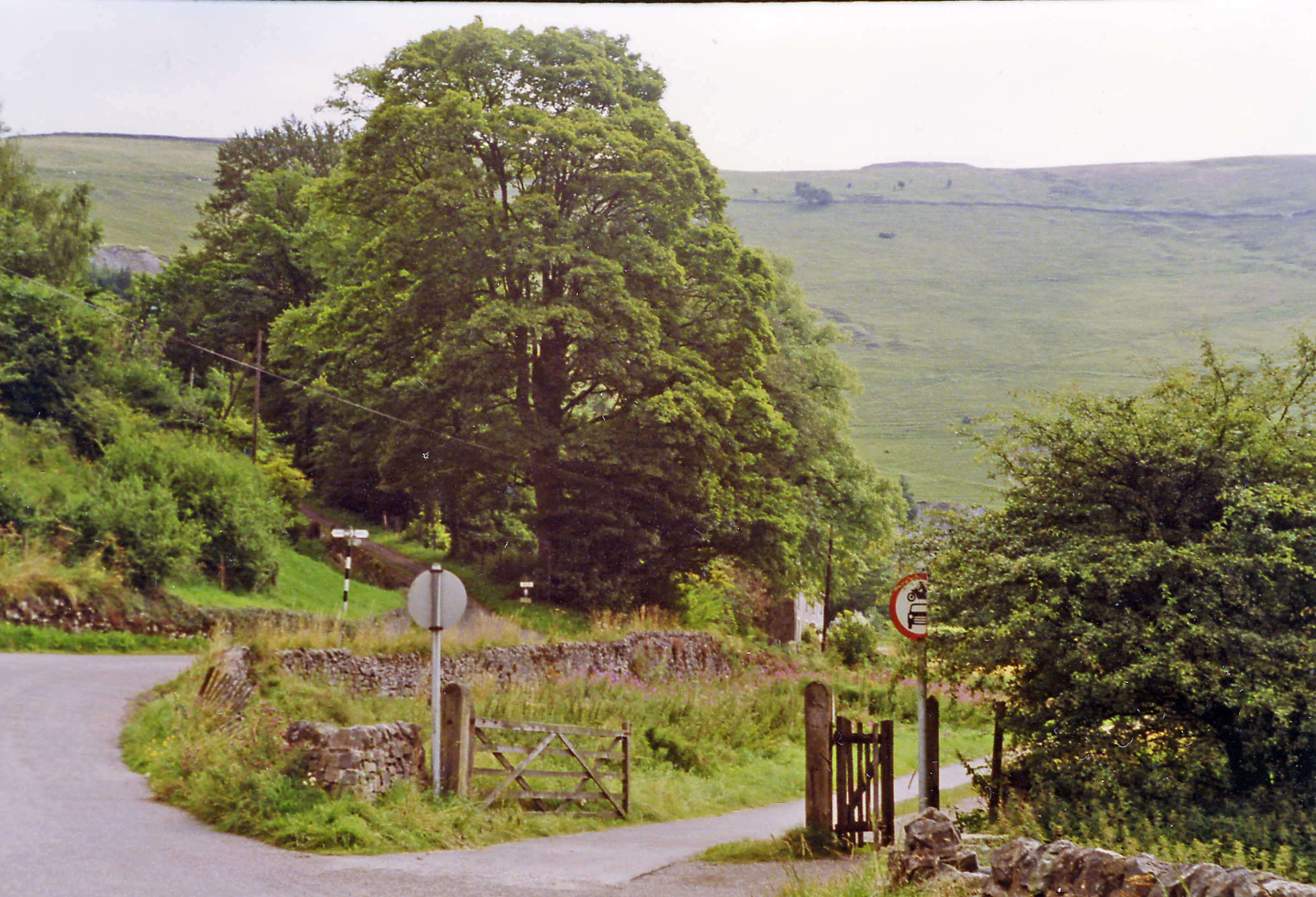
Ecton Hill is a prominent landmark located in Staffordshire, England. Rising to an elevation of 369 meters (1,211 feet), it is classified as a hill rather than a mountain. Situated near the village of Ecton, the hill is part of the Peak District National Park, renowned for its picturesque landscapes and stunning natural beauty.
Ecton Hill is primarily composed of limestone, a characteristic feature of the region. It is rich in lead deposits, which have been extensively mined in the area since the Roman times. In fact, Ecton Hill was once home to one of the most productive lead mines in the country, with mining operations continuing until the mid-19th century. The remnants of these historic mining activities, such as old adits (mine entrances) and spoil heaps, can still be seen on the hillside.
The hill offers breathtaking panoramic views of the surrounding countryside, making it a popular destination for hikers, walkers, and nature enthusiasts. There are several well-marked footpaths and trails that lead visitors up the hill, providing an opportunity to explore its diverse flora and fauna. Wildlife such as rabbits, foxes, and various bird species can often be spotted in the area.
Additionally, Ecton Hill holds significant geological importance due to its unique rock formations and exposed limestone strata. It provides geologists with valuable insights into the area's geological history and is often studied by researchers and students.
Overall, Ecton Hill stands as a notable landmark in Staffordshire, offering a blend of natural beauty, historical significance, and recreational opportunities for visitors to enjoy.
If you have any feedback on the listing, please let us know in the comments section below.
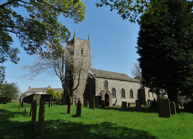
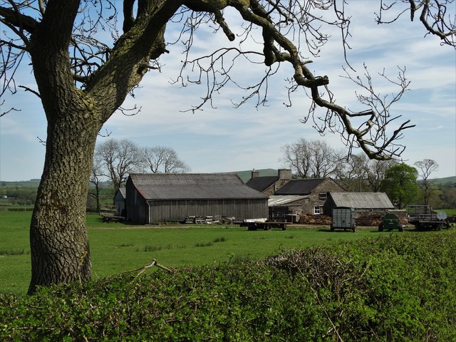
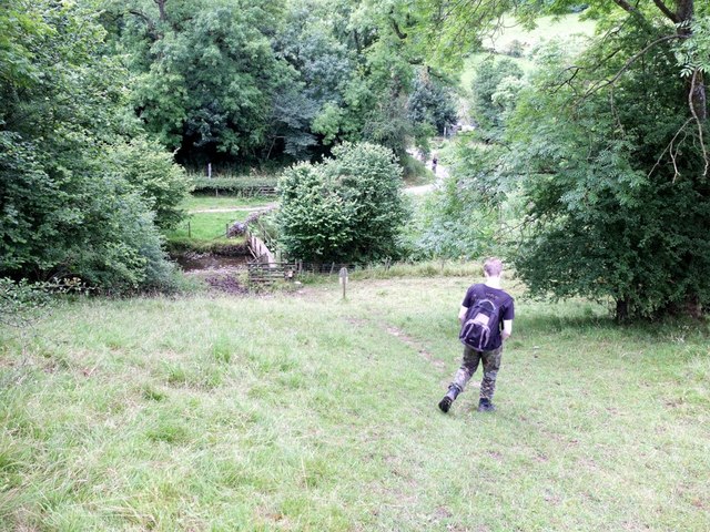
Ecton Hill Images
Images are sourced within 2km of 53.118305/-1.8536845 or Grid Reference SK0957. Thanks to Geograph Open Source API. All images are credited.


Ecton Hill is located at Grid Ref: SK0957 (Lat: 53.118305, Lng: -1.8536845)
Administrative County: Staffordshire
District: Staffordshire Moorlands
Police Authority: Staffordshire
What 3 Words
///cyber.neckline.exotic. Near Newhaven, Derbyshire
Nearby Locations
Related Wikis
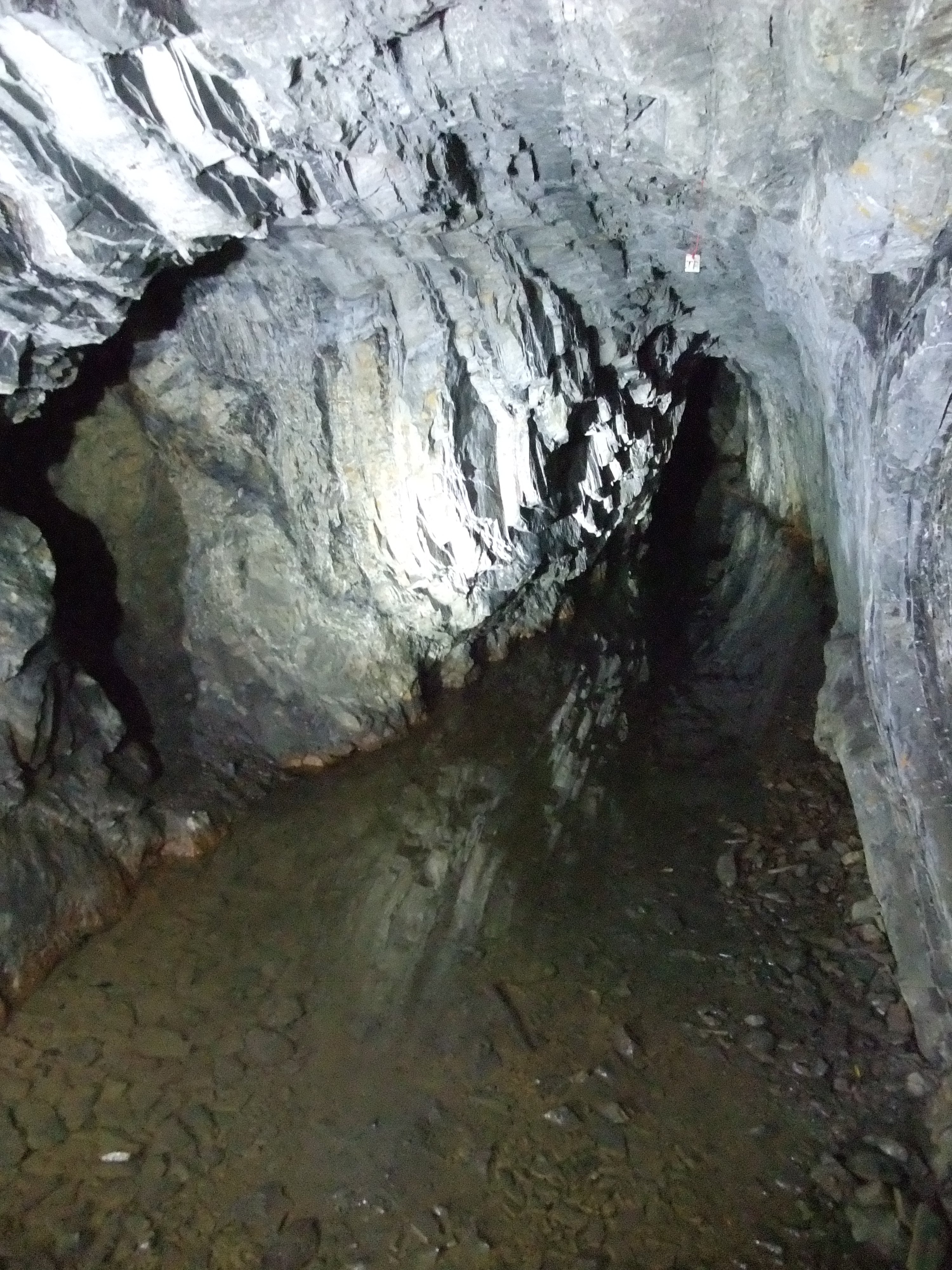
Ecton Mines
A group of mines on Ecton Hill, Staffordshire, are unusual for the Peak District in producing predominantly copper rather than lead and zinc. The most...
Ecton, Staffordshire
Ecton is a hamlet in the Staffordshire Peak District (grid reference SK096584). It is on the Manifold Way, an 8-mile (13 km) walk and cycle path that follows...
Ecton railway station
Ecton railway station was a station on the Leek and Manifold Light Railway. It served the hamlet of Ecton, Staffordshire. Today, the site is now part of...

Butterton railway station
Butterton railway station was a station on the Leek and Manifold Light Railway. It served the village of Butterton in Staffordshire. The site is now part...
Nearby Amenities
Located within 500m of 53.118305,-1.8536845Have you been to Ecton Hill?
Leave your review of Ecton Hill below (or comments, questions and feedback).