Blazon Hill

Hill, Mountain in Durham

England

Blazon Hill

West Crane Row The farm of West Crane Row as seen from the minor road, Crane Row Lane, with its first snow coating of the 2011/2012 winter.
West Crane Row Credit: Trevor Littlewood

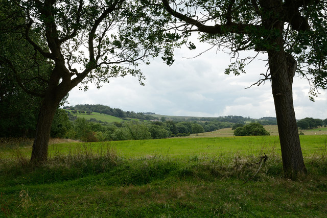
Blazon Hill is a small hill located in the county of Durham, in the northeast of England. Situated near the village of Blazon, the hill is a prominent feature in the local landscape, offering stunning views of the surrounding countryside.

With an elevation of approximately 200 meters (656 feet), Blazon Hill is often referred to as a "mini mountain" due to its steep slopes and rocky terrain. It is part of the Pennines, a range of hills and mountains that stretches across northern England.

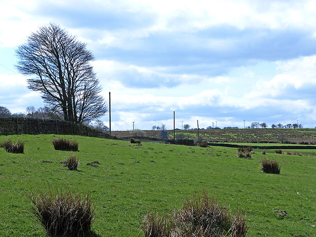
The hill is covered in a mixture of grasses, heather, and scattered trees, providing a diverse habitat for various flora and fauna. It is particularly known for its wildflowers, with vibrant displays of bluebells and primroses during the spring months.

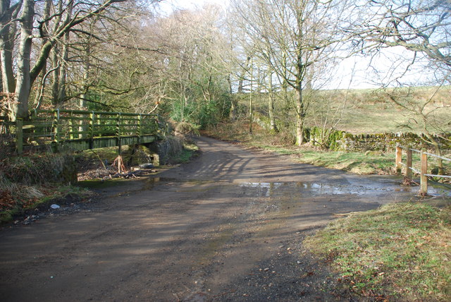
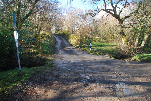
Blazon Hill is a popular destination for hikers and nature enthusiasts, offering several walking trails that cater to different fitness levels. The summit provides breathtaking panoramic views of the surrounding countryside, including the nearby River Wear and the distant Pennine peaks.

Historically, Blazon Hill played a significant role in the region's mining industry, with coal and limestone extraction taking place in the surrounding areas. Today, the hill is primarily used for recreational purposes and is managed by local conservation organizations to preserve its natural beauty.

Blazon Hill is a picturesque and tranquil spot, attracting visitors who seek a peaceful retreat in nature or wish to explore the rugged beauty of Durham's landscape.

If you have any feedback on the listing, please let us know in the comments section below.
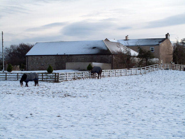
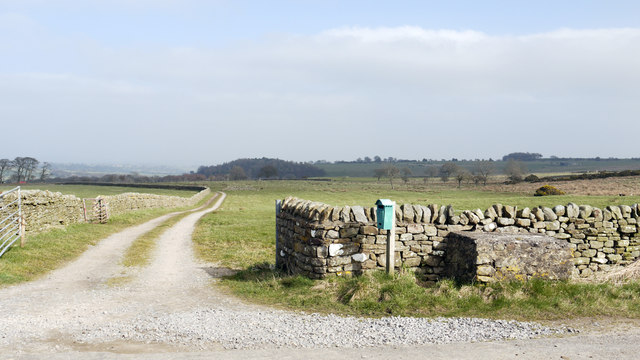
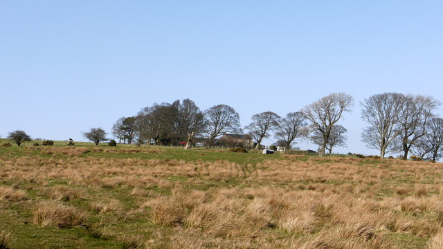
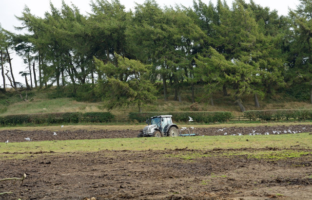
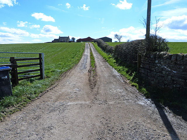
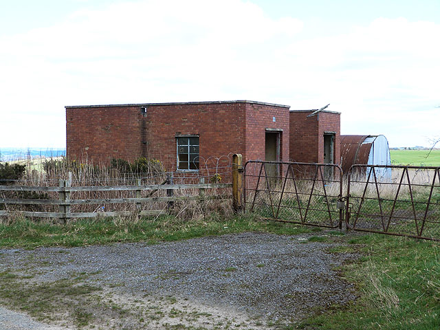
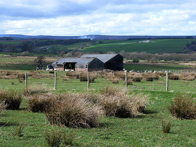
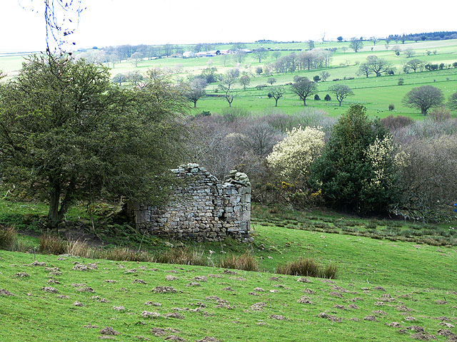
Blazon Hill Images

Images are sourced within 2km of 54.65928/-1.8487541 or Grid Reference NZ0929. Thanks to Geograph Open Source API. All images are credited.

West Crane Row The farm of West Crane Row as seen from the minor road, Crane Row Lane, with its first snow coating of the 2011/2012 winter.
West Crane Row
The farm of West Crane Row as seen from the minor road, Crane Row Lane, with its first snow coating of the 2011/2012 winter.
Farm access road for High Kays Lea High Kays Lea is a farm in the quiet valley of the Linburn Beck. The block to the right of the gateway is presumably a now disused stand for milk churns.
Farm access road for High Kays Lea
High Kays Lea is a farm in the quiet valley of the Linburn Beck. The block to the right of the gateway is presumably a now disused stand for milk churns.
Marginal farmland below Mayland Hall Mayland Hall lies on the northern slope of the shallow valley of the Linburn Beck south of Hamsterley Forest in County Durham. The rush-dominated ground below the farm buildings at the hall tells of poorly drained land.
Marginal farmland below Mayland Hall
Mayland Hall lies on the northern slope of the shallow valley of the Linburn Beck south of Hamsterley Forest in County Durham. The rush-dominated ground below the farm buildings at the hall tells of poorly drained land.
Ploughing a field adjacent to Emms Hill Lane The field lies on the east side of Emms Hill Lane: the tractor/plough unit has its inevitable following of gulls.
Ploughing a field adjacent to Emms Hill Lane
The field lies on the east side of Emms Hill Lane: the tractor/plough unit has its inevitable following of gulls.
Valley of Linburn Beck Linburn Beck flows in the tree-lined groove through the centre of the image.
Valley of Linburn Beck
Linburn Beck flows in the tree-lined groove through the centre of the image.
Ford at Hamsterley This ford on Emms Hill Lane is found on the Linburn Beck at Hamsterley.
Ford at Hamsterley
This ford on Emms Hill Lane is found on the Linburn Beck at Hamsterley.
Ford at Hamsterley This ford on the road to Podgehole is found on the Linburn Beck at Hamsterley.
Ford at Hamsterley
This ford on the road to Podgehole is found on the Linburn Beck at Hamsterley.
Field to the north of Crane Row Lane
Farm road to East Crane Row Farm With status of public footpath.
Farm road to East Crane Row Farm
With status of public footpath.
Old buildings adjacent to Emms Hill Lane Possibly associate with former open cast mining; now apparently put to agricultural use.
Old buildings adjacent to Emms Hill Lane
Possibly associate with former open cast mining; now apparently put to agricultural use.
Barn off Emms Hill Lane In the distance, the smoke rising off heather burning on the moors above Weardale.
Barn off Emms Hill Lane
In the distance, the smoke rising off heather burning on the moors above Weardale.
Ruined barn near Emms Hill Farm Valley of the Linburn Beck beyond.
Ruined barn near Emms Hill Farm
Valley of the Linburn Beck beyond.
Sorting out the lambs This farmer at New Row Farm was busy reassigning lambs to their rightful mother. See <a href="https://www.geograph.org.uk/photo/3926940">NZ0929 : Lambs reunited</a>.
Sorting out the lambs
This farmer at New Row Farm was busy reassigning lambs to their rightful mother. See NZ0929 : Lambs reunited.
Lambs reunited The farmer had been working hard to ensure that the lambs were reassigned to their rightful mother. See <a href="https://www.geograph.org.uk/photo/3926931">NZ0929 : Sorting out the lambs</a>.
Lambs reunited
The farmer had been working hard to ensure that the lambs were reassigned to their rightful mother. See NZ0929 : Sorting out the lambs.
Ford and footbridge on the Linburn Beck It appears that this ford is rarely much of an obstacle.
Ford and footbridge on the Linburn Beck
It appears that this ford is rarely much of an obstacle.
Quad and trailer at New Row Farm This farmer had been busy ensuring that the young lambs were reassigned to their rightful mother. In the trailer are a ewe and two lambs being transported to another field. New Row Farm <a href="https://www.geograph.org.uk/gridref/NZ1029">NZ1029</a> beyond.
Quad and trailer at New Row Farm
This farmer had been busy ensuring that the young lambs were reassigned to their rightful mother. In the trailer are a ewe and two lambs being transported to another field. New Row Farm NZ1029 beyond.
Ford at Hamsterley This ford on the Linburn Beck is found along Emms Hill Lane. The ford can be seen under normal conditions at:
<a title="https://www.geograph.org.uk/photo/3896455" href="https://www.geograph.org.uk/photo/3896455">Link</a>
Ford at Hamsterley
This ford on the Linburn Beck is found along Emms Hill Lane. The ford can be seen under normal conditions at: Link
Ford at Hamsterley This is a third ford on the Linburn Beck at Hamsterley.
Ford at Hamsterley
This is a third ford on the Linburn Beck at Hamsterley.
Show me another place!

Blazon Hill is located at Grid Ref: NZ0929 (Lat: 54.65928, Lng: -1.8487541)

Unitary Authority: County Durham

Police Authority: Durham

What 3 Words

///upstarts.quicker.racked. Near Hamsterley, Co. Durham

Nearby Locations

Blazon Hill

Related Wikis

County Durham

County Durham, officially simply Durham (/ˈdʌrəm/), is a ceremonial county in North East England. The county borders Northumberland and Tyne and Wear to...

Hamsterley Forest

Hamsterley Forest is a commercial forest in County Durham owned and managed by Forestry England. It is the largest forest in County Durham and covers...

Bedburn

Bedburn is a village in County Durham, in England. It is in the civil parish of South Bedburn, near Hamsterley, and Hamsterley Forest. The Bedburn Beck...

South Bedburn

South Bedburn is a civil parish in County Durham, England. The population of the civil parish at the 2011 census was 171. == References == == External... ==

Nearby Amenities

Located within 500m of 54.65928,-1.8487541
New Row
Place: farm
Source Name: OS_OpenData_StreetView
Lat/Long: 54.6607235/-1.8456924
Power: pole
Transformer: distribution
Lat/Long: 54.6604116/-1.8449628
Power: pole
Lat/Long: 54.658065/-1.8445766
Power: pole
Lat/Long: 54.6604264/-1.8449079
Power: pole
Lat/Long: 54.6598252/-1.8443701
Power: pole
Lat/Long: 54.6591658/-1.8437773
Power: pole
Lat/Long: 54.6584886/-1.8431711
Power: pole
Lat/Long: 54.6580122/-1.8427312
Power: pole
Lat/Long: 54.6575328/-1.8422377
Power: pole
Lat/Long: 54.6568625/-1.8423276
The data included in this document is from www.openstreetmap.org. The data is made available under ODbL.

Have you been to Blazon Hill?

Leave your review of Blazon Hill below (or comments, questions and feedback).