Bearhill

Hill, Mountain in Aberdeenshire

Scotland

Bearhill

The A90 heading for Fraserburgh
The A90 heading for Fraserburgh Credit: David Purchase

Bearhill is a prominent hill located in Aberdeenshire, Scotland. Standing at an elevation of approximately 500 meters, it is a significant landmark in the region. The hill is situated within the Cairngorms National Park, which is renowned for its stunning natural beauty and diverse wildlife.

Bearhill offers breathtaking panoramic views of the surrounding landscape. Its summit provides a vantage point from which visitors can admire the picturesque countryside, including vast stretches of heather-clad moorland, rolling hills, and the meandering River Dee. On clear days, it is even possible to catch a glimpse of the majestic peaks of the Cairngorm Mountains in the distance.

The hill is a popular destination for hikers, nature enthusiasts, and those seeking a peaceful retreat in the great outdoors. Several well-marked trails lead to the summit, catering to both experienced walkers and beginners. The ascent can be challenging at times, but the rewarding views make it well worth the effort.

Bearhill is also known for its rich biodiversity. The hill is home to a variety of plant and animal species, including heather, bilberry, red grouse, and mountain hares. Birdwatchers often flock to the area to observe species such as golden eagles, peregrine falcons, and red kites.

In addition to its natural beauty, Bearhill holds historical significance. The hill is believed to have been used as a lookout point during ancient times, providing a strategic advantage to its inhabitants. Archaeological remains have been discovered in the surrounding area, further adding to its historical allure.

Overall, Bearhill is a remarkable hill in Aberdeenshire, offering visitors a chance to immerse themselves in the stunning Scottish countryside and experience its natural wonders.

If you have any feedback on the listing, please let us know in the comments section below.
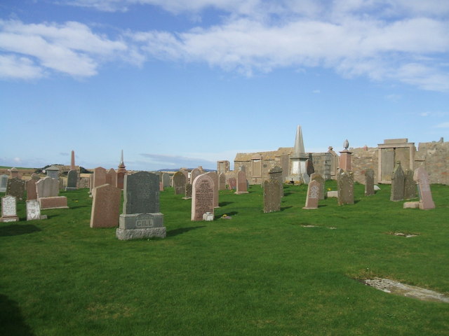
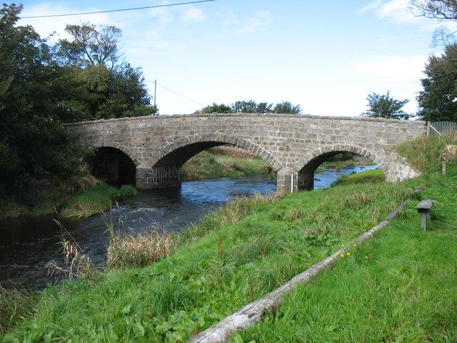
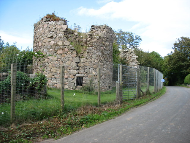
Bearhill Images

Images are sourced within 2km of 57.53799/-1.8390209 or Grid Reference NK0949. Thanks to Geograph Open Source API. All images are credited.

The A90 heading for Fraserburgh
St Fergus Cemetery On the site of an old churchyard. About 2 miles from the actual village of St Fergus.
St Fergus Cemetery
On the site of an old churchyard. About 2 miles from the actual village of St Fergus.
Inverquinzie Cottages prominent set of former farm 'cotter hooses' at a road bend one mile south of St Fergus
Inverquinzie Cottages
prominent set of former farm 'cotter hooses' at a road bend one mile south of St Fergus
Watch House in St Fergus's Kirkyard The watch house was used in the early 1800s to protect newly buried corpses from graverobbers supplying the anatomists in Aberdeen.
Watch House in St Fergus's Kirkyard
The watch house was used in the early 1800s to protect newly buried corpses from graverobbers supplying the anatomists in Aberdeen.
1721 Gravestone. St Fergus's kirkyard, St Fergus
track through trees near St Fergus previously poor boggy marginal farming land, planted with trees 20-25 years ago. now used as shooting estate
track through trees near St Fergus
previously poor boggy marginal farming land, planted with trees 20-25 years ago. now used as shooting estate
St Fergus Royal Observer Corps Post Royal Observer Corps post.  Abandoned September 1991.  This post is locked, presumed flooded.  Access unavailable.
St Fergus Royal Observer Corps Post
Royal Observer Corps post. Abandoned September 1991. This post is locked, presumed flooded. Access unavailable.
Farm buildings, Ednie
Inverugie bridge A road bridge over the River Ugie at Inverugie.
Inverugie bridge
A road bridge over the River Ugie at Inverugie.
Inverugie Bridge
Inverugie Bridge
Inverugie Castle The fencing, though understandable from a "health and safety" perspective, does not make it easy to take a good photo. This is not one of my best (though my critics will say that it is typical of my usual standard), but I have submitted it as there is currently no other photo of the castle on site.
Inverugie Castle
The fencing, though understandable from a "health and safety" perspective, does not make it easy to take a good photo. This is not one of my best (though my critics will say that it is typical of my usual standard), but I have submitted it as there is currently no other photo of the castle on site.
St Fergus telephone exchange The St Fergus telephone exchange is situated at Inverquinzie, a mile south of the village of St Fergus.
St Fergus telephone exchange
The St Fergus telephone exchange is situated at Inverquinzie, a mile south of the village of St Fergus.
Field entrance off the A90, Kirkton
Grassland, Kirkton Off the track towards St Fergus's Church.
Grassland, Kirkton
Off the track towards St Fergus's Church.
Young woodland beside the A90
Field of the A90, Kirkton
A90, Kirkton Towards Fraserburgh.
A90, Kirkton
Towards Fraserburgh.
Show me another place!

Bearhill is located at Grid Ref: NK0949 (Lat: 57.53799, Lng: -1.8390209)

Unitary Authority: Aberdeenshire

Police Authority: North East

What 3 Words

///undertook.mattress.tips. Near Peterhead, Aberdeenshire

Nearby Locations

Bearhill

Related Wikis

Ravenscraig Castle, Aberdeenshire

Ravenscraig Castle, also known as the Craig of Inverugie, is a ruined 15th-century L-shaped tower-house north-west of Peterhead, Aberdeenshire, Scotland...

Inverugie

Inverugie (Scottish Gaelic: Inbhir Ùigidh) is a small village in Aberdeenshire, Scotland, to the northwest of Peterhead. == Sources == Inverugie in the...
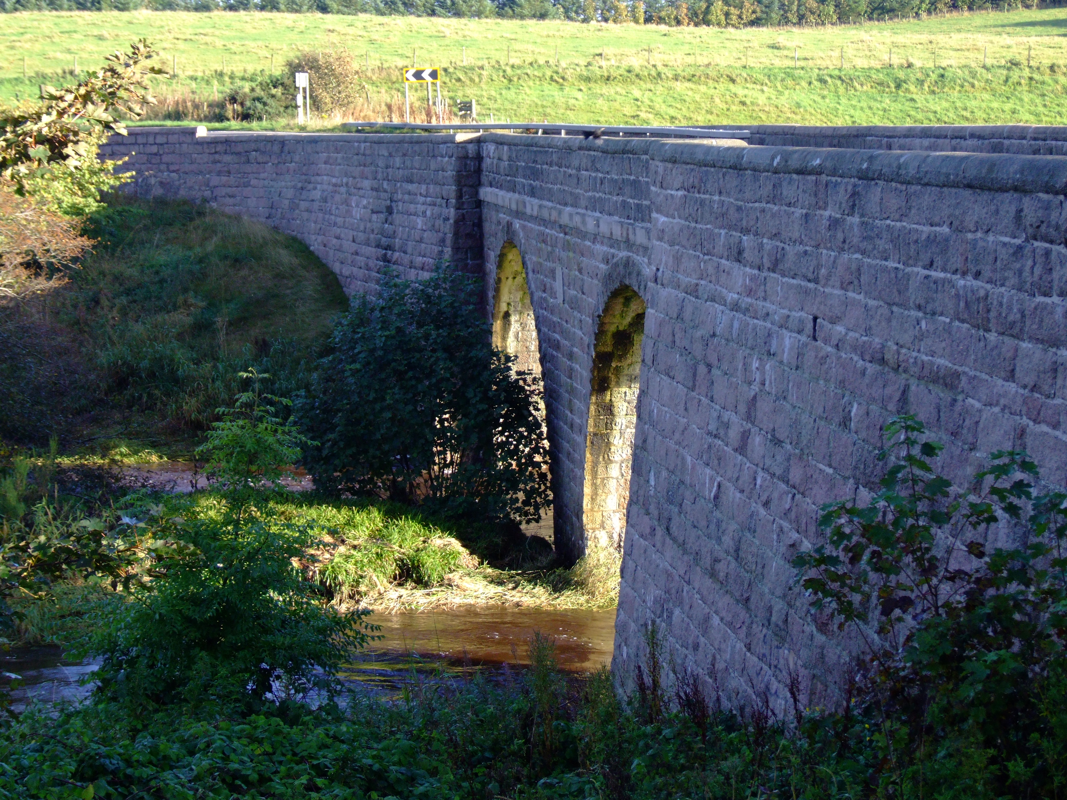
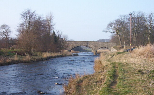
Balmoor Bridge

Balmoor Bridge is a toll-free, three-span bridge in Aberdeenshire, Scotland. A Category B listed structure, it spans the River Ugie, carrying the two lanes...

St Fergus

St Fergus is a village in the Buchan area of Aberdeenshire, Scotland. St Fergus lies 1 mile (1.6 km) from the North Sea coast and 3 miles (5 km) north...

Kirktown of St Fergus

Kirktown of St Fergus, often just called Kirktown, is an area of the village of St Fergus in Buchan, Aberdeenshire, Scotland. It should not be confused...

Inverugie railway station

Inverugie railway station was a railway station in Inverugie, Aberdeenshire. == History == The station was opened on 3 July 1862 by the Formartine and...

Newseat Halt railway station

Newseat Halt railway station was a railway station in Newseat, Aberdeenshire. == History == The station was opened on 3 July 1862 by the Formartine and...
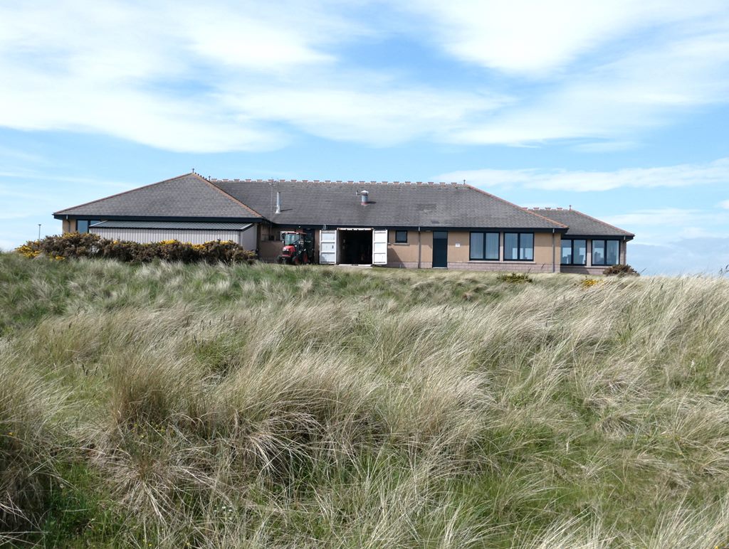
Peterhead Golf Club

Peterhead Golf Club, in Peterhead, Aberdeenshire, Scotland, was founded in 1841, making it, by its own claim, the 18th-oldest golf club in the world. Located...

Nearby Amenities

Located within 500m of 57.53799,-1.8390209
Power: pole
Lat/Long: 57.5372671/-1.8308042
Power: pole
Lat/Long: 57.537889/-1.8310347
Power: pole
Lat/Long: 57.5385488/-1.8312612
Power: pole
Lat/Long: 57.539213/-1.8314957
Power: pole
Lat/Long: 57.5397958/-1.831702
Power: pole
Lat/Long: 57.5351192/-1.8439592
Power: pole
Lat/Long: 57.5354959/-1.8429684
Power: pole
Lat/Long: 57.5358584/-1.8419979
Power: pole
Lat/Long: 57.5362133/-1.8408898
Power: pole
Lat/Long: 57.5365747/-1.8398202
Power: pole
Lat/Long: 57.5369524/-1.8387122
Power: pole
Lat/Long: 57.5372856/-1.8377558
Power: pole
Lat/Long: 57.5376155/-1.8365689
Power: pole
Lat/Long: 57.5376708/-1.8356934
Power: pole
Lat/Long: 57.5377197/-1.8347653
Power: pole
Lat/Long: 57.5377837/-1.8336208
Power: pole
Lat/Long: 57.5376057/-1.8326685
Power: pole
Lat/Long: 57.5374245/-1.8317181
Power: pole
Lat/Long: 57.5362306/-1.8427905
Power: pole
Lat/Long: 57.5366279/-1.8436418
Power: pole
Lat/Long: 57.5369535/-1.8443414
Power: pole
Lat/Long: 57.5371987/-1.8448792
Power: pole
Lat/Long: 57.537469/-1.8454575
Power: pole
Lat/Long: 57.5379411/-1.8464483
Power: pole
Lat/Long: 57.5389905/-1.8386535
Power: pole
Lat/Long: 57.5385358/-1.8384271
Power: pole
Lat/Long: 57.5380963/-1.8382047
Power: pole
Lat/Long: 57.5381939/-1.8374484
Power: pole
Lat/Long: 57.5382797/-1.8367509
Power: tower
Lat/Long: 57.539465/-1.8436091
Power: tower
Lat/Long: 57.5352106/-1.8383983
Power: tower
Lat/Long: 57.5375358/-1.8412417
The data included in this document is from www.openstreetmap.org. The data is made available under ODbL.

Have you been to Bearhill?

Leave your review of Bearhill below (or comments, questions and feedback).