Growkil Hill

Hill, Mountain in Yorkshire Richmondshire

England

Growkil Hill

Field gate for footpath to Caldbergh
Field gate for footpath to Caldbergh Credit: peter robinson

Growkil Hill is a prominent natural feature located in the county of Yorkshire, England. Situated in the region's picturesque countryside, Growkil Hill is classified as a hill due to its elevation and steep slopes. It stands at an impressive height of approximately 450 meters (1,480 feet) above sea level, making it one of the highest points in the area.

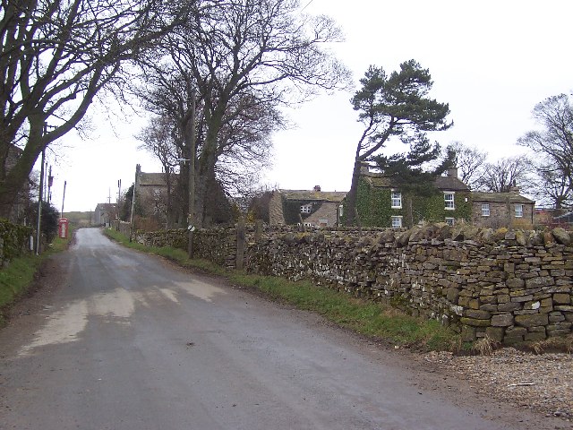
The hill is characterized by its rolling landscape, lush greenery, and stunning panoramic views of the surrounding countryside. It is covered in a patchwork of fields, farmland, and scattered woodland, adding to its natural beauty and charm. The slopes of Growkil Hill are known for their ruggedness, providing a challenging terrain for outdoor enthusiasts and hikers seeking an adventurous experience.

The hill is a haven for wildlife, supporting a diverse range of plant and animal species. Visitors may spot various birds, including buzzards and kestrels, soaring through the skies above. The hill is also home to a variety of mammals, such as rabbits and foxes, which inhabit the surrounding woodlands and fields.

Growkil Hill has become a popular destination for outdoor activities, including hiking, mountain biking, and nature walks. The hill offers a network of well-maintained trails, allowing visitors to explore its scenic beauty while enjoying the fresh air and tranquility of the countryside.

Overall, Growkil Hill is a picturesque and captivating natural feature that showcases the stunning landscapes and biodiversity of Yorkshire. Its height, rugged slopes, and diverse wildlife make it a must-visit destination for nature lovers and outdoor enthusiasts alike.

If you have any feedback on the listing, please let us know in the comments section below.
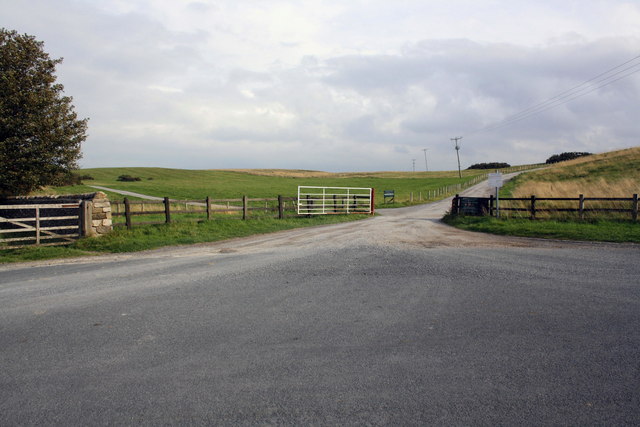
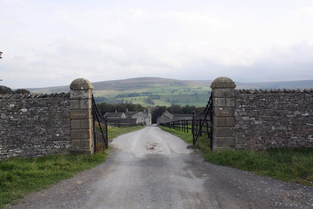
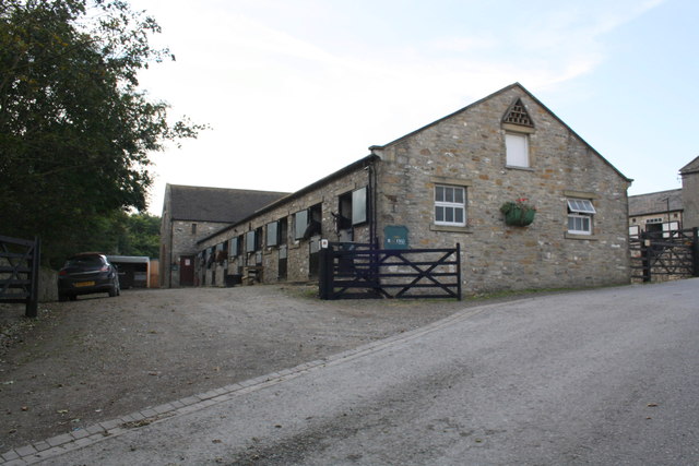
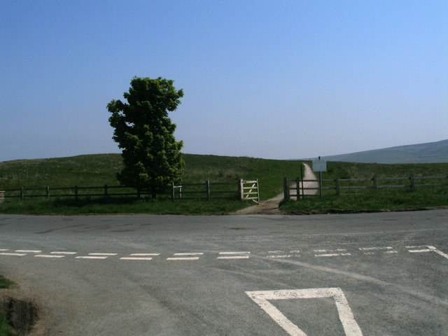
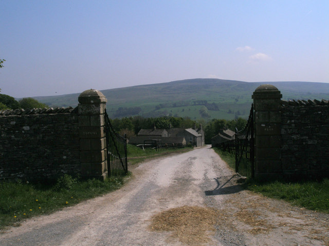
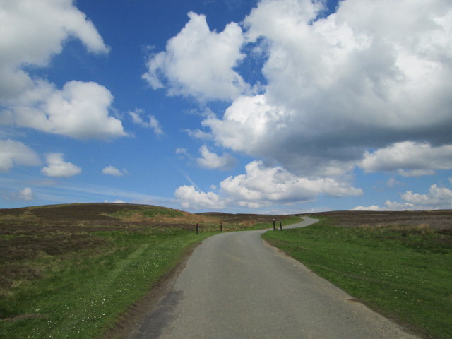
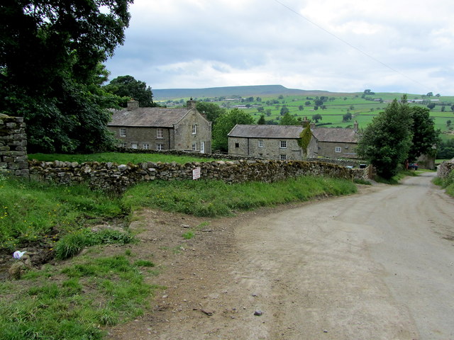
Growkil Hill Images

Images are sourced within 2km of 54.264915/-1.864876 or Grid Reference SE0885. Thanks to Geograph Open Source API. All images are credited.

Field gate for footpath to Caldbergh
Footpath through pasture to Caldbergh in Coverham
Bird Ridding Lane in Coverdale
Green's Beck in Coverham
Roads at Middleham Low Moor near Spigot Lodge
Entrance gates to Tupgill Park
Ashgill Stables, Tupgill Park
East Scrafton Moor The moors on the south side of Coverdale seen from Town Head Cottage above Melmerby
East Scrafton Moor
The moors on the south side of Coverdale seen from Town Head Cottage above Melmerby
Western entrance to Middleham Low Moor
Entrance to Tupgill Park
Tatty barn at West Scrafton It appears that the Pennine weather has been at work on this barn close to West Scrafton village.
Tatty barn at West Scrafton
It appears that the Pennine weather has been at work on this barn close to West Scrafton village.
Old hedgerow trees A line of mature trees across a field at West Scrafton. Close examination reveals that they all have horizontal branches low down, indicating that they were once laid as a hedge.
Old hedgerow trees
A line of mature trees across a field at West Scrafton. Close examination reveals that they all have horizontal branches low down, indicating that they were once laid as a hedge.
Recumbent Bar Slotted Gatepost
Bar Slotted Sandstone Gatepost on Low Lane The wooden bars would have slid down and then been locked into place. These ancient gateposts are becoming rare now throughout the British Isles as replacement gates do not reuse the old stone gate posts. Mostly being made of metal or timber now.<span class="nowrap"><a title="http://www.legendarydartmoor.co.uk/images/Gate3.gif" rel="nofollow ugc noopener" href="http://www.legendarydartmoor.co.uk/images/Gate3.gif">Link</a><img style="margin-left:2px;" alt="External link" title="External link - shift click to open in new window" src="https://s1.geograph.org.uk/img/external.png" width="10" height="10"/></span>
Bar Slotted Sandstone Gatepost on Low Lane
The wooden bars would have slid down and then been locked into place. These ancient gateposts are becoming rare now throughout the British Isles as replacement gates do not reuse the old stone gate posts. Mostly being made of metal or timber now.LinkExternal link
Melmerby Moor Road Looking north.
Melmerby Moor Road
Looking north.
Red Way Seen here descending towards Caldbergh - part of an ancient thoroughfare that linked Coverdale with Colsterdale.
Red Way
Seen here descending towards Caldbergh - part of an ancient thoroughfare that linked Coverdale with Colsterdale.
Gate across The Red Way
In Caldbergh Tidy farming hamlet on the southern side of Coverdale, affording lovely views across the valley to Pen Hill.
In Caldbergh
Tidy farming hamlet on the southern side of Coverdale, affording lovely views across the valley to Pen Hill.
Show me another place!

Growkil Hill is located at Grid Ref: SE0885 (Lat: 54.264915, Lng: -1.864876)

Division: North Riding

Administrative County: North Yorkshire

District: Richmondshire

Police Authority: North Yorkshire

What 3 Words

///gullible.scrubber.workloads. Near Leyburn, North Yorkshire

Nearby Locations

Lampat Hill Growkil Hill

Related Wikis

Caldbergh

Caldbergh (Caldeber in the Domesday Book) is a hamlet within the Yorkshire Dales, North Yorkshire, England. It lies about four miles south of Leyburn....

Caldbergh with East Scrafton

Caldbergh with East Scrafton is a civil parish in the Richmondshire district of North Yorkshire, England. The parish includes the settlements of Caldbergh...

East Scrafton

East Scrafton is a hamlet in the Yorkshire Dales in the Richmondshire district of North Yorkshire, England. It is about 3 miles (5 km) south-west of Leyburn...

Agglethorpe

Agglethorpe is a hamlet in the Richmondshire district of North Yorkshire, England, it lies in northern Coverdale, approximately 4 miles (6.4 km) south...

Coverham with Agglethorpe

Coverham with Agglethorpe is a civil parish in North Yorkshire, England. It includes the villages of Coverham and Agglethorpe. The population of the civil...

Melmerby in Coverdale

Melmerby is a village and civil parish in North Yorkshire, England. It lies in Coverdale in the Yorkshire Dales about 3 miles (4.8 km) south-west of Leyburn...

Forbidden Corner

The Forbidden Corner is a folly garden located in the Tupgill Park Estate, at Coverham in Coverdale, in the Yorkshire Dales National Park. It is open to...

Holy Trinity Church, Coverham

Holy Trinity Church is a redundant Anglican church in the village of Coverham, North Yorkshire, England. It is recorded in the National Heritage List...

Nearby Amenities

Located within 500m of 54.264915,-1.864876
Growkill Hill
Man Made: survey_point
Natural: peak
Source: OS 1:25k
Lat/Long: 54.2649001/-1.8646949
Lampat Hill
Natural: peak
Source: OS 1:25k
Lat/Long: 54.2623121/-1.8698555
Low Barn
Place: farm
Lat/Long: 54.2672906/-1.8625199
Power: pole
Lat/Long: 54.2613345/-1.8602486
Power: pole
Lat/Long: 54.2612319/-1.8617337
Power: pole
Lat/Long: 54.2620793/-1.8626348
Power: pole
Lat/Long: 54.2625336/-1.8631092
Power: pole
Lat/Long: 54.2637754/-1.8644072
Power: pole
Lat/Long: 54.2645961/-1.8652878
Power: pole
Lat/Long: 54.2648865/-1.8667044
Power: pole
Lat/Long: 54.2651823/-1.8681119
Power: pole
Lat/Long: 54.2657978/-1.8702676
Power: pole
Lat/Long: 54.2659257/-1.8705003
Power: pole
Lat/Long: 54.2666718/-1.8719033
Power: pole
Lat/Long: 54.2649865/-1.8644574
Power: pole
Lat/Long: 54.2657845/-1.8639213
Power: pole
Lat/Long: 54.2665106/-1.8634765
Power: pole
Lat/Long: 54.2673046/-1.8627397
The data included in this document is from www.openstreetmap.org. The data is made available under ODbL.

Have you been to Growkil Hill?

Leave your review of Growkil Hill below (or comments, questions and feedback).