Ash Hill
Hill, Mountain in Staffordshire Lichfield
England
Ash Hill

Ash Hill is a prominent natural feature located in the county of Staffordshire, England. As the name suggests, it is a hill that rises to an elevation of 256 meters (840 feet) above sea level, making it one of the highest points in the region. Situated in the northern part of the county, it is surrounded by rolling countryside and offers picturesque views of the Staffordshire Moorlands.
The hill is covered in lush green vegetation, predominantly consisting of grasses, ferns, and heather, which adds to its scenic beauty. It is also home to various species of wildlife, including rabbits, foxes, and a variety of bird species. Ash Hill is a popular spot for nature enthusiasts and hikers, who can explore the network of trails that crisscross the area.
In addition to its natural beauty, Ash Hill holds historical significance. The remains of an Iron Age hillfort, known as Castle Ring, can be found on its summit. The hillfort dates back to around 500 BC and is believed to have served as a defensive stronghold in ancient times. Today, visitors can still see the earthworks and ditches that were once part of the hillfort's fortifications.
Ash Hill's location and elevation make it an ideal spot for panoramic views of the surrounding countryside. On clear days, visitors can enjoy stunning vistas that stretch for miles, including views of other nearby landmarks such as the Weaver Hills and the Roaches. With its natural charm and historical significance, Ash Hill continues to captivate both locals and tourists alike.
If you have any feedback on the listing, please let us know in the comments section below.
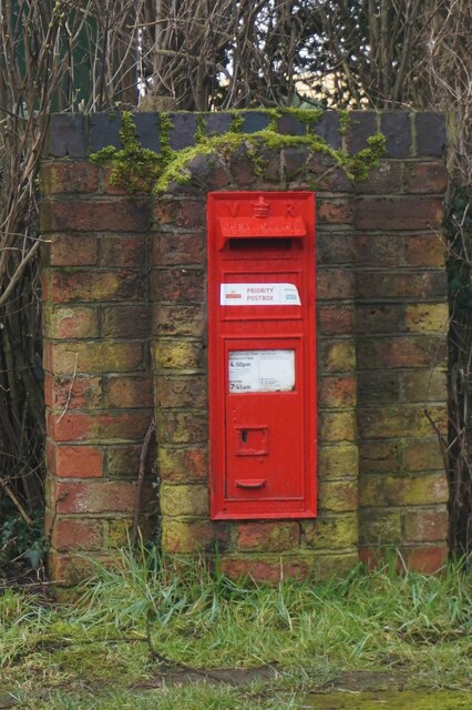
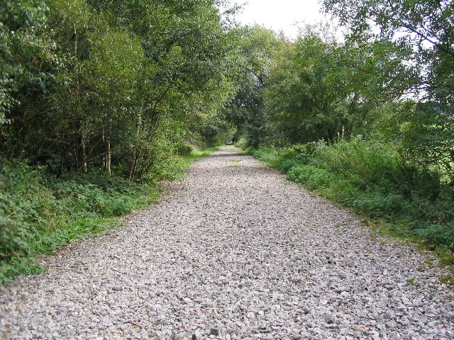
Ash Hill Images
Images are sourced within 2km of 52.790714/-1.8820393 or Grid Reference SK0821. Thanks to Geograph Open Source API. All images are credited.


Ash Hill is located at Grid Ref: SK0821 (Lat: 52.790714, Lng: -1.8820393)
Administrative County: Staffordshire
District: Lichfield
Police Authority: Staffordshire
What 3 Words
///agency.care.poorly. Near Abbots Bromley, Staffordshire
Nearby Locations
Related Wikis

Blithbury
Blithbury is a small village in Lichfield District, Staffordshire, England. Part of the civil parish of Mavesyn Ridware, it lies near the River Blithe...
Staffordshire Way
The Staffordshire Way is a long-distance walk in Staffordshire, England. The path links with the Cheshire Gritstone Trail, the Heart of England Way and...

Abbots Bromley School
Abbots Bromley School (previously the School of S. Mary and S. Anne, Abbots Bromley before becoming Abbots Bromley School for Girls) was a coeducational...

Abbots Bromley
Abbots Bromley is a village and civil parish in the East Staffordshire district of Staffordshire and lies approximately 9.8 miles (15.8 km) east of Stafford...

Colton, Staffordshire
Colton is a village and civil parish in Lichfield District, Staffordshire, England. It is situated just outside the town of Rugeley off the B5013 road...

Blithfield Reservoir
Blithfield Reservoir is a large raw water reservoir in Staffordshire, England, owned by South Staffordshire Water. Some 800 acres (324 hectares) of reservoir...

Church of St Michael and All Angels, Hamstall Ridware
The Church of St Michael and All Angels is a parish church and Grade I listed building in the village of Hamstall Ridware, Staffordshire. The church is...
Admaston, Staffordshire
Admaston is a small hamlet in Staffordshire, England just outside the town of Rugeley near to Abbots Bromley and Blithfield Hall.The name Admaston is derived...
Nearby Amenities
Located within 500m of 52.790714,-1.8820393Have you been to Ash Hill?
Leave your review of Ash Hill below (or comments, questions and feedback).