Bewick Hill

Hill, Mountain in Northumberland

England

Bewick Hill

Old Bewick, Northumberland Looking over farmland in the vicinity of Old Bewick as the sun was setting.
Old Bewick, Northumberland Credit: Rebecca A Wills

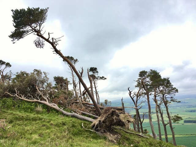
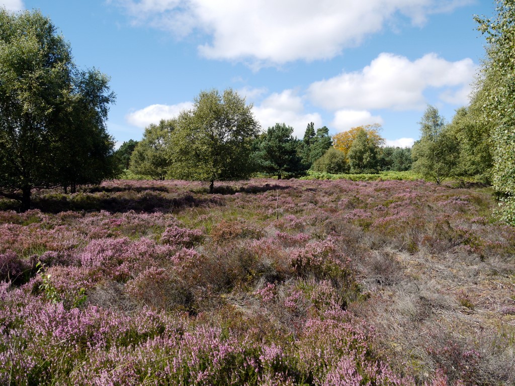
Bewick Hill is a prominent hill located in Northumberland, England. It is part of the wider Bewick Moor area, which is characterized by its rolling countryside and picturesque landscapes. Rising to an elevation of approximately 345 meters (1,132 feet), Bewick Hill offers stunning panoramic views of the surrounding region.

The hill is situated within the Northumberland National Park, a designated protected area known for its diverse wildlife and rich natural beauty. Bewick Hill itself is covered in heather and grasses, creating a colorful tapestry that changes with the seasons. The hill is also home to a variety of bird species, including red grouse and skylarks, making it a popular spot for birdwatching enthusiasts.

At the summit of Bewick Hill, visitors are rewarded with breathtaking views of the Cheviot Hills to the west and the Northumberland coastline to the east. On clear days, it is even possible to see as far as the Scottish Borders. The hill is a favorite destination for hikers and walkers, who enjoy exploring the network of footpaths and trails that crisscross the area.

Bewick Hill has historical significance as well, with ancient hillforts and burial mounds scattered across its slopes. These archaeological features provide evidence of human activity in the area dating back thousands of years.

Overall, Bewick Hill is a natural landmark that offers both recreational and historical value to visitors. Its beauty and tranquility make it a must-visit destination for nature lovers and those seeking a peaceful retreat in Northumberland.

If you have any feedback on the listing, please let us know in the comments section below.
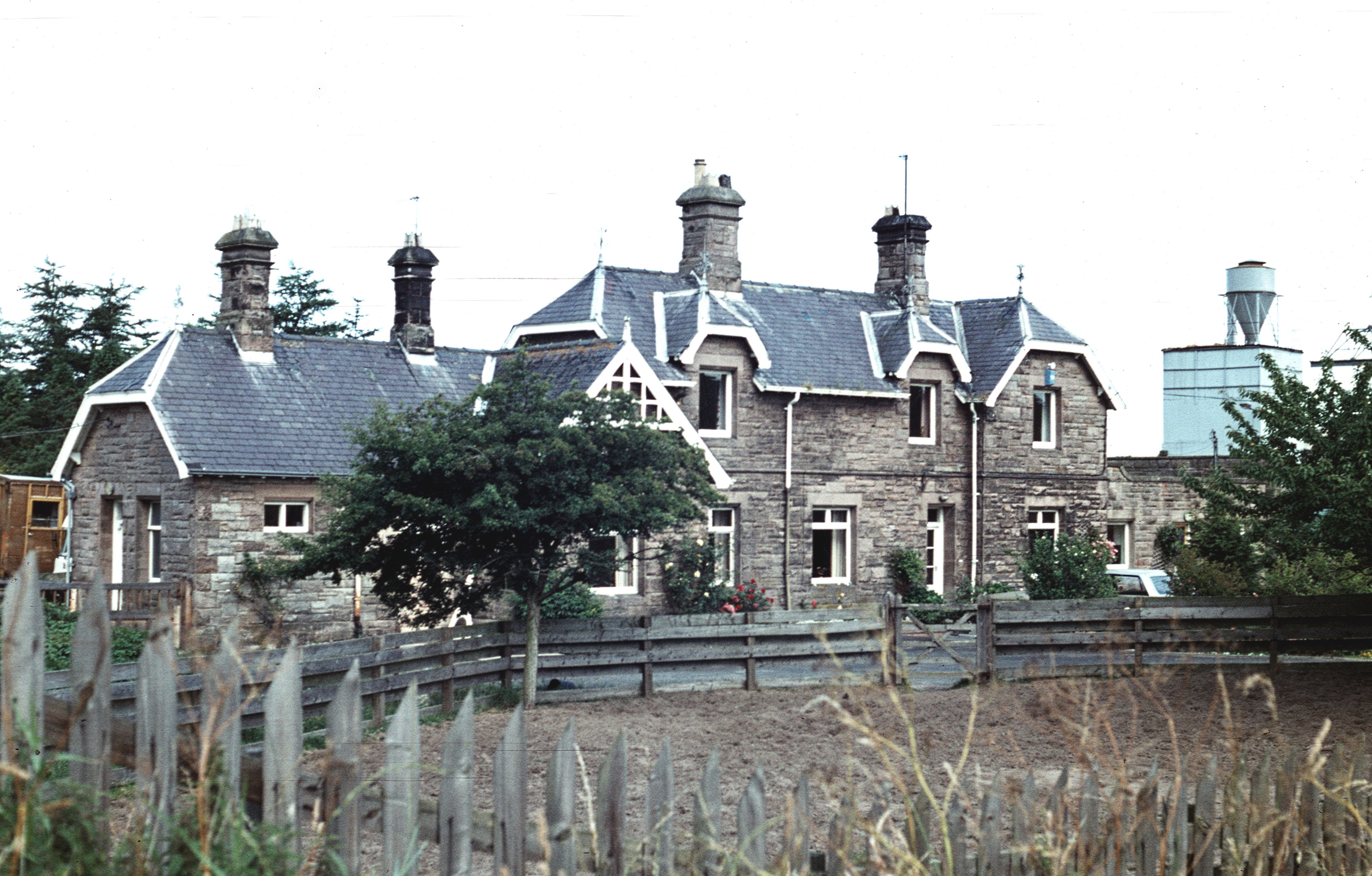
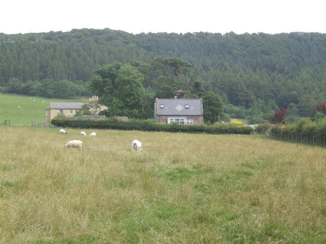
Bewick Hill Images

Images are sourced within 2km of 55.48786/-1.8839925 or Grid Reference NU0721. Thanks to Geograph Open Source API. All images are credited.

Old Bewick, Northumberland Looking over farmland in the vicinity of Old Bewick as the sun was setting.
Old Bewick, Northumberland
Looking over farmland in the vicinity of Old Bewick as the sun was setting.
Storm Arwen at Hanging Crag The storm took its toll of this small stand of pine trees.  The exposure that made it such a landmark was also its undoing.  It used to look like

<a href="https://www.geograph.org.uk/photo/477395">NU0721 : Hanging Crag</a>
Storm Arwen at Hanging Crag
The storm took its toll of this small stand of pine trees. The exposure that made it such a landmark was also its undoing. It used to look like NU0721 : Hanging Crag
Circular stone trough This trough, carved in the bedrock, is about 1.5m in diameter and 0.3m deep.  It's now filled with earth and weeds but 13 years ago it was almost empty.  It's almost at the centre-point of the semicircle that forms the eastern hill fort.  I have no definite idea of its purpose; a water tank perhaps?  Pillbox in the background.  See also

<a href="https://www.geograph.org.uk/photo/7349111">NU0721 : Circular stone trough</a>
Circular stone trough
This trough, carved in the bedrock, is about 1.5m in diameter and 0.3m deep. It's now filled with earth and weeds but 13 years ago it was almost empty. It's almost at the centre-point of the semicircle that forms the eastern hill fort. I have no definite idea of its purpose; a water tank perhaps? Pillbox in the background. See also NU0721 : Circular stone trough
Circular stone trough This trough, carved in the bedrock, is about 1.5m in diameter and 0.3m deep.  It's almost at the centre-point of the semicircle that forms the eastern hill fort.  I have no definite idea of its purpose; a water tank perhaps?  See also

<a href="https://www.geograph.org.uk/photo/7349102">NU0721 : Circular stone trough</a>
Circular stone trough
This trough, carved in the bedrock, is about 1.5m in diameter and 0.3m deep. It's almost at the centre-point of the semicircle that forms the eastern hill fort. I have no definite idea of its purpose; a water tank perhaps? See also NU0721 : Circular stone trough
Millstone on Harehope Hill Abandoned on its journey from quarry to mill?
Millstone on Harehope Hill
Abandoned on its journey from quarry to mill?
Millstone on Harehope Hill Abandoned on its journey from quarry to mill?
Millstone on Harehope Hill
Abandoned on its journey from quarry to mill?
Hill at 279 metres, east of Hepburn Wood The moorland hill is given no name on OS maps. Its eastern side is seen in the image from a location just north of a bridleway north-west of Castle Hill.
Hill at 279 metres, east of Hepburn Wood
The moorland hill is given no name on OS maps. Its eastern side is seen in the image from a location just north of a bridleway north-west of Castle Hill.
Path through valley of Harehope Burn The Harehope Burn is the main stream draining the southern part of the low-level moorland area north of Eglingham. South-east of the ruins at  Blawearie it enters a rocky passage where a path has been created involving stretches of boardwalk and bridges of the sort seen in the image. There's a small amount of easy scrambling needed as well. The route isn't a public footpath but it's entirely over access land.
Path through valley of Harehope Burn
The Harehope Burn is the main stream draining the southern part of the low-level moorland area north of Eglingham. South-east of the ruins at Blawearie it enters a rocky passage where a path has been created involving stretches of boardwalk and bridges of the sort seen in the image. There's a small amount of easy scrambling needed as well. The route isn't a public footpath but it's entirely over access land.
Wall and tracks rising to Nun Law Nun Law is a minor feature of the low-level moorland of Bewick Moor. The tracks have been created by the passage of vehicles and will be concerned with the shoot which operates on the estate.
Wall and tracks rising to Nun Law
Nun Law is a minor feature of the low-level moorland of Bewick Moor. The tracks have been created by the passage of vehicles and will be concerned with the shoot which operates on the estate.
Hanging Crag
Hanging Crag
Crag at Blawearie Blawearie is a ruined house, presumably once a farmhouse, amid low moorland near to Hepburn and Bewick Moors. The small crag lies to the east of the ruined buildings.
Crag at Blawearie
Blawearie is a ruined house, presumably once a farmhouse, amid low moorland near to Hepburn and Bewick Moors. The small crag lies to the east of the ruined buildings.
Green lane, Folly Banks A short cut to Bewick Bridge.
Green lane, Folly Banks
A short cut to Bewick Bridge.
Folly Banks Mixed woodland above the River Till.
Folly Banks
Mixed woodland above the River Till.
Green lane, Folly Banks Descent to Bewick Bridge.
Green lane, Folly Banks
Descent to Bewick Bridge.
River Till Downstream of Bewick Bridge.
River Till
Downstream of Bewick Bridge.
Bewick Bridge Another addition to the fine bridges of Northumberland list.  Crossing the Till.
Bewick Bridge
Another addition to the fine bridges of Northumberland list. Crossing the Till.
Holy Trinity Chapel, Old Bewick
Cross near Old Bewick
Show me another place!

Bewick Hill is located at Grid Ref: NU0721 (Lat: 55.48786, Lng: -1.8839925)

Unitary Authority: Northumberland

Police Authority: Northumbria

What 3 Words

///clots.gathering.sedated. Near Whittingham, Northumberland

Related Wikis

Old Bewick

Old Bewick is a rural village and former civil parish, now in the parish of Bewick, in the county of Northumberland, England, notable for its Bronze Age...

Bewick, Northumberland

Bewick () is a civil parish in the county of Northumberland, England. In 2001 it had a population of 69, increasing to 138 (after the inclusion of Chillingham...

Bewick and Beanley Moors

Bewick and Beanley Moors is the name given to a Site of Special Scientific Interest (SSSI) in north Northumberland, in the north-east of England. The moors...

Wooperton railway station

Wooperton railway station served the hamlet of Wooperton, Roddam, Northumberland, England from 1887 to 1954 on the Cornhill Branch. == History == The station...

Hepburn, Northumberland

Hepburn is a hamlet and former civil parish, now in the civil parish of Chillingham in the county of Northumberland, England. The civil parish was merged...

Battle of Hedgeley Moor

The Battle of Hedgeley Moor, 25 April 1464, was a battle of the Wars of the Roses. It was fought at Hedgeley Moor, north of the villages of Glanton and...

Beanley

Beanley is a village and former civil parish, now in the parish of Hedgeley in the county of Northumberland, England. It is situated to the north-west...

Cateran Hole

Cateran Hole is a circa 35m length cave set in the Gritstone of Cateran Hill in Northumberland. It lies about 4 miles due north of Eglingham, and can be...

Nearby Amenities

Located within 500m of 55.48786,-1.8839925
Power: pole
Lat/Long: 55.4851721/-1.8901064
Power: pole
Lat/Long: 55.4845476/-1.8893079
Power: pole
Lat/Long: 55.4857981/-1.890885
Little Hill Wood
Place: locality
Lat/Long: 55.4858021/-1.8865069
Hanging Crag
Place: locality
Lat/Long: 55.4886977/-1.8896952
Bewick Hill
Ele: 232
Natural: peak
Lat/Long: 55.488956/-1.8829034
The data included in this document is from www.openstreetmap.org. The data is made available under ODbL.

Have you been to Bewick Hill?

Leave your review of Bewick Hill below (or comments, questions and feedback).