Bennett's Hill
Hill, Mountain in Worcestershire Wychavon
England
Bennett's Hill
Bennett's Hill is a prominent landmark located in Worcestershire, England. It is a picturesque hill that forms part of the scenic landscape in the region. Rising to an elevation of approximately 225 meters (738 feet), it is considered one of the highest points in Worcestershire.
Situated in the Malvern Hills Area of Outstanding Natural Beauty, Bennett's Hill offers breathtaking panoramic views of the surrounding countryside. The hill is covered in lush greenery, with a variety of trees and vegetation dotting its slopes. It is a popular destination for nature lovers, hikers, and outdoor enthusiasts seeking a peaceful retreat.
The hill is accessible via well-maintained footpaths and trails, making it a suitable location for both casual walkers and experienced hikers. The routes up the hill offer a range of difficulty levels, catering to different abilities and fitness levels. Along the way, visitors may encounter diverse wildlife and fauna, adding to the charm of the experience.
Bennett's Hill is also known for its historical significance. It is believed to have been named after a local landowner and has been a notable landmark for centuries. The hill has witnessed various historical events and is surrounded by a rich tapestry of local heritage.
Overall, Bennett's Hill is a tranquil and visually stunning location, offering visitors a chance to immerse themselves in the natural beauty and history of Worcestershire. Whether one seeks a challenging hike or a peaceful stroll, this hill provides an idyllic setting for outdoor exploration and appreciation of the surrounding landscape.
If you have any feedback on the listing, please let us know in the comments section below.
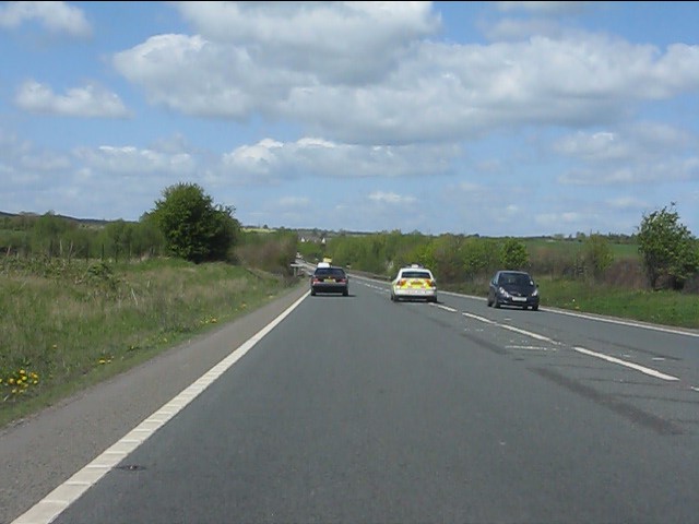
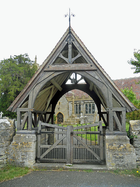
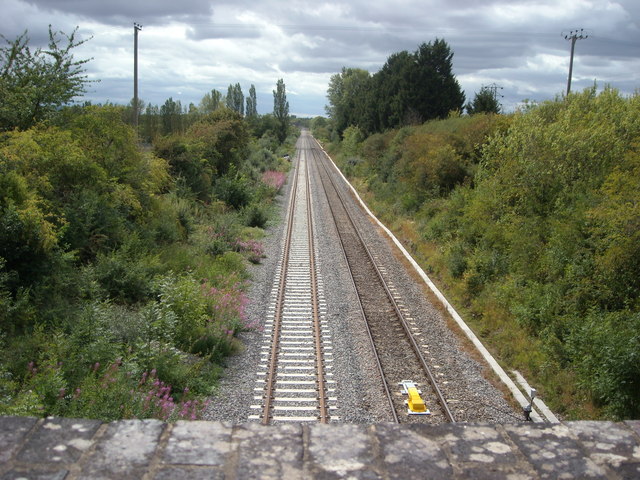
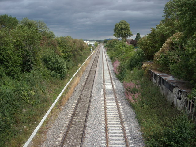
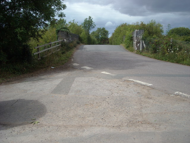
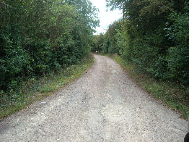
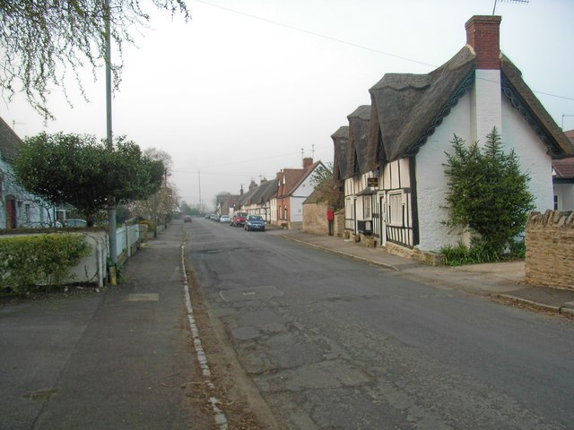
Bennett's Hill Images
Images are sourced within 2km of 52.111816/-1.9018255 or Grid Reference SP0645. Thanks to Geograph Open Source API. All images are credited.


Bennett's Hill is located at Grid Ref: SP0645 (Lat: 52.111816, Lng: -1.9018255)
Administrative County: Worcestershire
District: Wychavon
Police Authority: West Mercia
What 3 Words
///dynamic.weary.famed. Near South Littleton, Worcestershire
Nearby Locations
Related Wikis
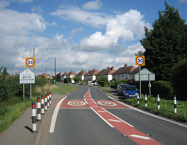
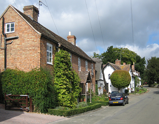
South Littleton
South Littleton is a village and civil parish located in the Wychavon district of Worcestershire, England. South Littleton is located midway between Evesham...

Littleton and Badsey railway station
Littleton and Badsey railway station was a station on the Great Western Railway's Oxford, Worcester and Wolverhampton line, near the town of Evesham, Worcestershire...

Blackminster
Blackminster is a Hamlet in Worcestershire, England. Features include a large middle school, haulage and horticultural produce companies. Littleton and...
Offenham
Offenham is a large rural village and civil parish in the Wychavon district of Worcestershire, England, located about three miles east of Evesham, in the...
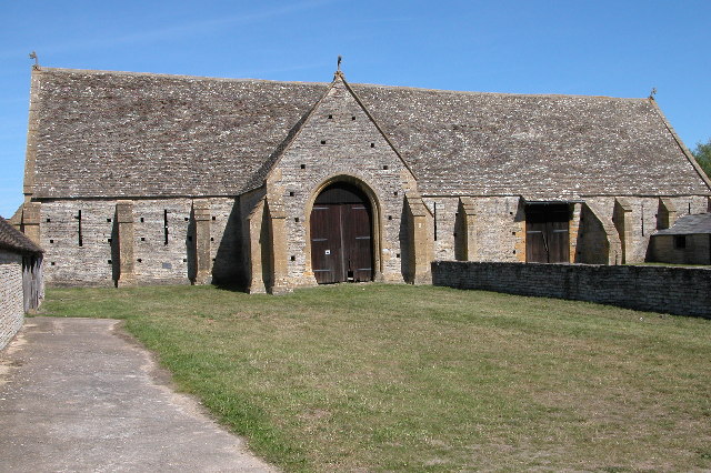
Middle Littleton Tythe Barn
Middle Littleton Tythe Barn, also known as Middle Littleton Tithe Barn, is a grade I listed 13th or 14th-century tithe barn in the village of Middle Littleton...
North and Middle Littleton
North and Middle Littleton is a civil parish located in the Wychavon district of Worcestershire, England. The parish comprises the villages of North Littleton...
Aldington, Worcestershire
Aldington is a village and civil parish in the Wychavon district of Worcestershire, England. It is about three miles east of Evesham, and according to...
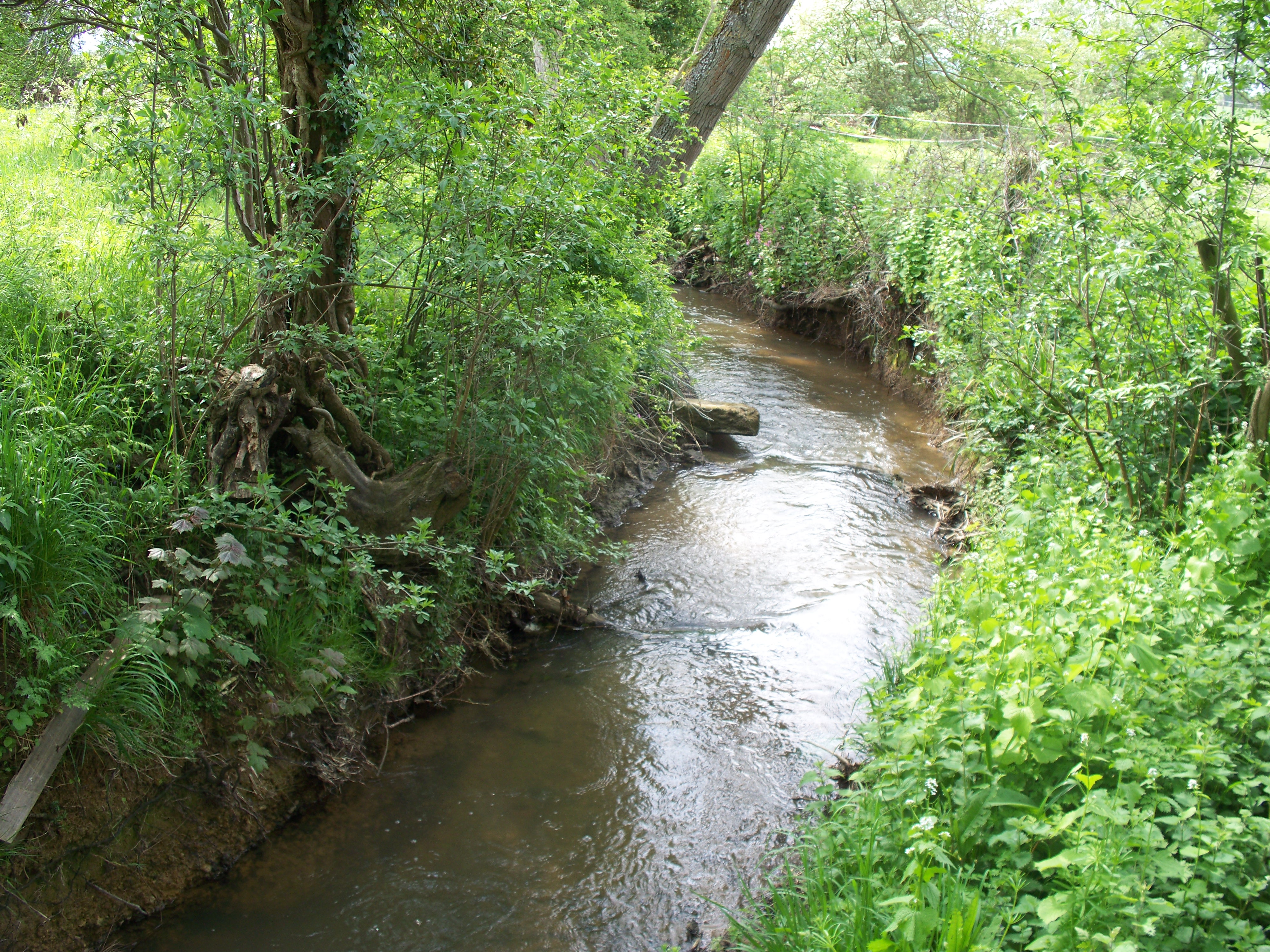
Badsey Brook
The Badsey Brook, also known as the Broadway Brook, is a small brook that flows through Worcestershire, England. It is a lower tributary of the River Avon...
Nearby Amenities
Located within 500m of 52.111816,-1.9018255Have you been to Bennett's Hill?
Leave your review of Bennett's Hill below (or comments, questions and feedback).