Bishopstone Down

Hill, Mountain in Wiltshire

England

Bishopstone Down

Pines, Bishopstone Down A dogless version of <a href="https://www.geograph.org.uk/photo/297132">SU0629 : Hill Top Trees</a> though I have these in a different part of the square. See also <a href="https://www.geograph.org.uk/photo/4550542">SU0629 : Pigs on Bishopstone Down</a> for adjacent pigs. The right of way is restricted byway BURC 2.
Pines, Bishopstone Down Credit: Derek Harper

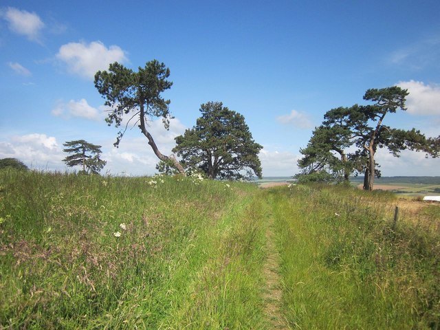
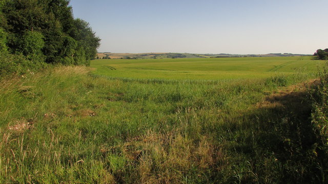
Bishopstone Down is a prominent hill located in the county of Wiltshire, England. Situated in the southern part of the county, it is part of the larger Salisbury Plain area. Bishopstone Down is known for its picturesque landscapes and natural beauty, attracting visitors who appreciate outdoor activities and stunning views.

Standing at an elevation of approximately 227 meters (745 feet), Bishopstone Down offers panoramic vistas of the surrounding countryside, including the nearby villages of Bishopstone and Stratford Tony. The hill is covered in lush green grass, interspersed with patches of heather and gorse, creating a vibrant and diverse habitat for various flora and fauna.

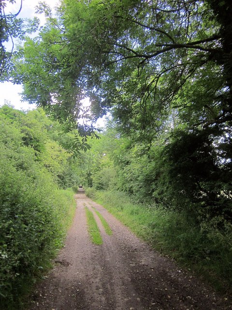
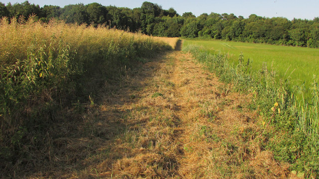
The area is popular among hikers, walkers, and nature enthusiasts who enjoy exploring its network of footpaths and trails. The prominent feature of the hill is its Iron Age hillfort, which is believed to have been constructed around 500 BC. The remains of the fort can still be seen today, offering visitors a glimpse into the region's ancient history.

Bishopstone Down is also home to a variety of wildlife, including rabbits, foxes, and numerous bird species. The hill provides an ideal habitat for birds of prey, such as kestrels and buzzards, which can often be spotted soaring in the skies above.

Overall, Bishopstone Down offers a serene and tranquil escape from the hustle and bustle of everyday life, providing visitors with an opportunity to immerse themselves in the natural beauty of Wiltshire's countryside.

If you have any feedback on the listing, please let us know in the comments section below.

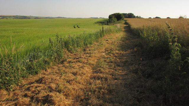
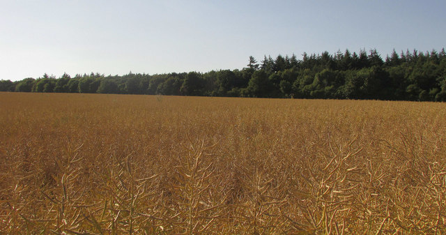
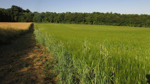
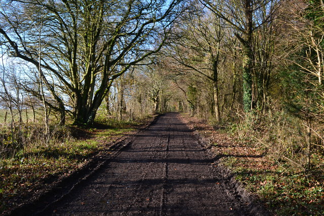
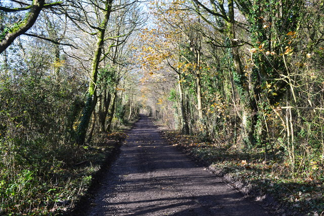
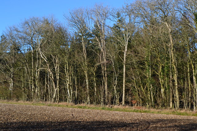
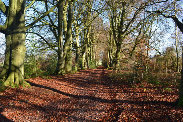
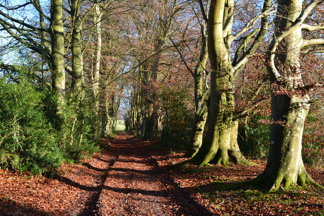
Bishopstone Down Images

Images are sourced within 2km of 51.062162/-1.9058255 or Grid Reference SU0629. Thanks to Geograph Open Source API. All images are credited.

Pines, Bishopstone Down A dogless version of <a href="https://www.geograph.org.uk/photo/297132">SU0629 : Hill Top Trees</a> though I have these in a different part of the square. See also <a href="https://www.geograph.org.uk/photo/4550542">SU0629 : Pigs on Bishopstone Down</a> for adjacent pigs. The right of way is restricted byway BURC 2.
Pines, Bishopstone Down
A dogless version of SU0629 : Hill Top Trees though I have these in a different part of the square. See also SU0629 : Pigs on Bishopstone Down for adjacent pigs. The right of way is restricted byway BURC 2.
Old Shaftesbury Drove Followed by BOAT BSTO 39.
Old Shaftesbury Drove
Followed by BOAT BSTO 39.
Cattle, Stoke Down A wider version of <a href="https://www.geograph.org.uk/photo/4549760">SU0527 : Cattle, Stoke Down</a>, with some more fence posts beside byway BROA 31.
Cattle, Stoke Down
A wider version of SU0527 : Cattle, Stoke Down, with some more fence posts beside byway BROA 31.
Farmland and woods by Portfield Road From the Old Shaftesbury Drove near its junction with the road, which runs behind the trees on the extreme right, and looking towards the valley of the River Ebble. The wood right of centre hides a chalk pit.
Farmland and woods by Portfield Road
From the Old Shaftesbury Drove near its junction with the road, which runs behind the trees on the extreme right, and looking towards the valley of the River Ebble. The wood right of centre hides a chalk pit.
Bridleway, Bishopstone Down A reverse view of the bridleway (BSTO 3) shown in <a href="https://www.geograph.org.uk/photo/885461">SU0728 : Bridleway to Windwhistle</a>, now running between oilseed rape on the left and barley on the right.
Bridleway, Bishopstone Down
A reverse view of the bridleway (BSTO 3) shown in SU0728 : Bridleway to Windwhistle, now running between oilseed rape on the left and barley on the right.
Oilseed rape by Hare Warren From Old Shaftesbury Drove.
Oilseed rape by Hare Warren
From Old Shaftesbury Drove.
Hare Warren A view into the extensive wood beside Old Shaftesbury Drove, not far from Neale’s Barrow.
Hare Warren
A view into the extensive wood beside Old Shaftesbury Drove, not far from Neale’s Barrow.
Barley, Bishopstone Down From bridleway BSTO 3 close to where it leaves Portfield Road (lined with the trees on the left).
Barley, Bishopstone Down
From bridleway BSTO 3 close to where it leaves Portfield Road (lined with the trees on the left).
Bridleway, Bishopstone Down A reverse view of <a href="https://www.geograph.org.uk/photo/5826894">SU0728 : Bridleway, Bishopstone Down</a>, so with oilseed rape on the right and barley on the left.
Bridleway, Bishopstone Down
A reverse view of SU0728 : Bridleway, Bishopstone Down, so with oilseed rape on the right and barley on the left.
Oilseed rape, Bishopstone Down Looking left from where <a href="https://www.geograph.org.uk/photo/5826894">SU0728 : Bridleway, Bishopstone Down</a> was taken, with woodland on the down; Old Shaftesbury Drove runs along its edge.
Oilseed rape, Bishopstone Down
Looking left from where SU0728 : Bridleway, Bishopstone Down was taken, with woodland on the down; Old Shaftesbury Drove runs along its edge.
Barley, Bishopstone Down Another view along bridleway BSTO 3; see also <a href="https://www.geograph.org.uk/photo/5826894">SU0728 : Bridleway, Bishopstone Down</a>.
Barley, Bishopstone Down
Another view along bridleway BSTO 3; see also SU0728 : Bridleway, Bishopstone Down.
Puddles on Old Shaftesbury Drove
On Old Shaftesbury Drove on Bishopstone Down
On Old Shaftesbury Drove, just west of Portfield Road Despite the unmade surface and (relatively) remote location, I had to step aside for  cars passing in both directions on this section.
On Old Shaftesbury Drove, just west of Portfield Road
Despite the unmade surface and (relatively) remote location, I had to step aside for cars passing in both directions on this section.
Southern edge of Netton Clump
Leafy track between trees near Burnbake
Autumn sunlight on avenue of trees near Burnbake
Avenue of trees near Burnbake
Show me another place!

Bishopstone Down is located at Grid Ref: SU0629 (Lat: 51.062162, Lng: -1.9058255)

Unitary Authority: Wiltshire

Police Authority: Wiltshire

What 3 Words

///believer.handed.processes. Near Bishopstone, Wiltshire

Related Wikis

Burcombe Down

Burcombe Down (grid reference SU064295) is an area of chalk grassland situated on a north-facing scarp slope to the south of Burcombe in Wiltshire, England...

Burcombe

Burcombe is a village in the civil parish of Burcombe Without, in Wiltshire, England. The village is about 4.5 miles (7 km) west of Salisbury city centre...

Barford St Martin

Barford St Martin is a village and civil parish in Wiltshire, England, about 2.5 miles (4 km) west of Wilton, around the junction of the A30 and the B3089...

Bishopstone, Salisbury

Bishopstone is a village and civil parish in Wiltshire, England, in the Ebble valley about 5.5 miles (9 km) south-west of Salisbury. The parish is on the...

Battle of Wilton

The Battle of Wilton was a battle of the civil war in England known as The Anarchy. It was fought on 1 July 1143 at Wilton in Wiltshire. An army under...

Wilton, Wiltshire

Wilton is a town and civil parish in Wiltshire, England. Lying about 3 miles (5 km) west of the city of Salisbury, and until 1889 the county town of Wiltshire...

St Mary's Church, Wilton

St Mary's Church in the Market Place of Wilton, Wiltshire, England, was built in the 15th century. It is recorded in the National Heritage List for England...

Old Town Hall, Wilton

The Old Town Hall is a municipal building in the Market Place in Wilton, Wiltshire, England. The structure, which is currently used as a Baptist church...

Nearby Amenities

Located within 500m of 51.062162,-1.9058255
Lyons Borrow
Archaeological Site: megalith
Historic: archaeological_site
Megalith Type: long_barrow
Lat/Long: 51.0624137/-1.9062227
Archaeological Site: tumulus
Historic: archaeological_site
Lat/Long: 51.0628992/-1.9122737
Archaeological Site: tumulus
Historic: archaeological_site
Lat/Long: 51.0628452/-1.9114154
Archaeological Site: tumulus
Historic: archaeological_site
Lat/Long: 51.0628182/-1.9106859
Archaeological Site: tumulus
Historic: archaeological_site
Lat/Long: 51.0650838/-1.9074243
Bishopstone Down
Access: private
Ele: 181
Man Made: survey_point
Natural: peak
Lat/Long: 51.0621096/-1.9057892
The data included in this document is from www.openstreetmap.org. The data is made available under ODbL.

Have you been to Bishopstone Down?

Leave your review of Bishopstone Down below (or comments, questions and feedback).