Dancing Green Hill
Hill, Mountain in Northumberland
England
Dancing Green Hill

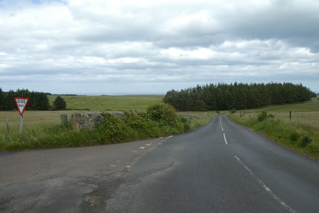
Dancing Green Hill, located in Northumberland, is a picturesque and iconic natural landmark that offers breathtaking views and a tranquil atmosphere. Situated in the northern region of England, this hill is renowned for its rolling green slopes and stunning vistas of the surrounding countryside.
Rising to an elevation of approximately 400 meters, Dancing Green Hill is classified as a hill rather than a mountain. It is characterized by its gentle gradient, making it accessible to both seasoned hikers and casual walkers. The hill is covered in lush green grass, which gives it its distinct name and contributes to its scenic beauty.
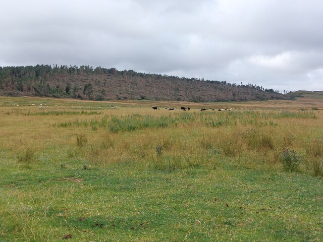
The hill is popular among outdoor enthusiasts, who flock to its slopes to enjoy activities such as hiking, birdwatching, and photography. The panoramic views from the top of the hill are truly captivating, showcasing the undulating landscape of Northumberland and beyond. On clear days, visitors can even catch glimpses of the North Sea in the distance.
Dancing Green Hill is also home to a variety of flora and fauna. The hillside is adorned with wildflowers during the spring and summer months, creating a vibrant and colorful display. It is not uncommon to spot grazing sheep or other wildlife while exploring the area.
Overall, Dancing Green Hill is a must-visit destination for nature lovers and those seeking a peaceful retreat. Its stunning natural beauty, accessibility, and diverse ecosystem make it a gem in the Northumberland landscape. Whether you are looking for an invigorating hike or a place to unwind and connect with nature, Dancing Green Hill offers an experience like no other.
If you have any feedback on the listing, please let us know in the comments section below.
Dancing Green Hill Images
Images are sourced within 2km of 55.594188/-1.89923 or Grid Reference NU0633. Thanks to Geograph Open Source API. All images are credited.


Dancing Green Hill is located at Grid Ref: NU0633 (Lat: 55.594188, Lng: -1.89923)
Unitary Authority: Northumberland
Police Authority: Northumbria
What 3 Words
///dividing.dunk.thinkers. Near Belford, Northumberland
Nearby Locations
Related Wikis
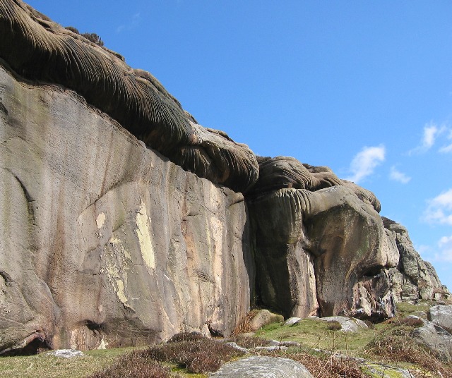
Colour Heugh and Bowden Doors
Colour Heugh and Bowden Doors are two crag rock formations in north Northumberland in North East England, designated as a Site of Special Scientific Interest...

Holburn Lake and Moss
Holburn Lake and Moss is a nature reserve in Northumberland, England to the east of the village of Holburn. Nearby is St Cuthbert's Cave. == The lake... ==

Holburn
Holburn is a hamlet in the English county of Northumberland. Holburn is located between Lowick and Belford. == Governance == Holburn is in the parliamentary...

Middleton Hall, Middleton, Northumberland
Middleton Hall is a country house near the settlement of Middleton, Northumberland, in that parish, that dates from 1871. It is listed Grade II on the...
Nearby Amenities
Located within 500m of 55.594188,-1.89923Have you been to Dancing Green Hill?
Leave your review of Dancing Green Hill below (or comments, questions and feedback).