Black Hill
Hill, Mountain in Northumberland
England
Black Hill

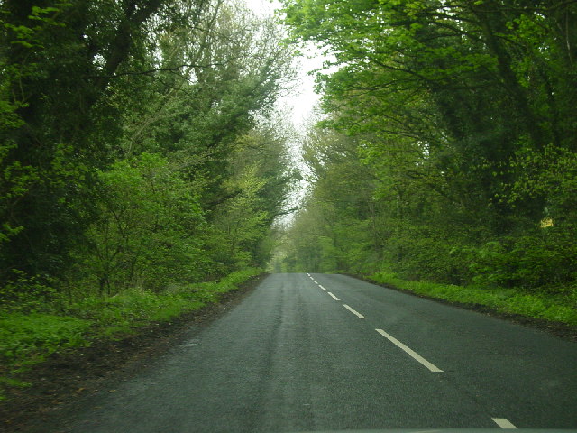
Black Hill is a prominent hill located in the county of Northumberland, in the northeastern part of England. Situated within the North Pennines Area of Outstanding Natural Beauty, it forms part of the stunning landscape that characterizes this region. With an elevation of 609 meters (1,998 feet), Black Hill is often referred to as a mountain due to its impressive height.
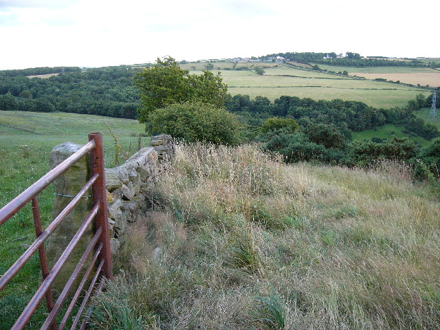
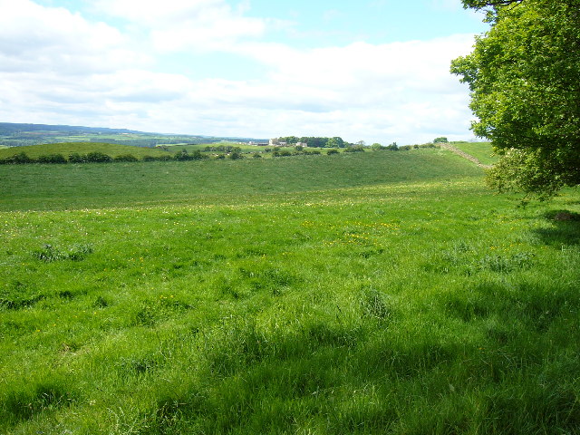
This hill is recognized for its picturesque views and diverse flora and fauna. The summit offers breathtaking vistas of the surrounding countryside, including the nearby Simonside Hills and Cheviot Hills. On clear days, it is even possible to see as far as the North Sea coastline, providing visitors with a truly breathtaking panorama.
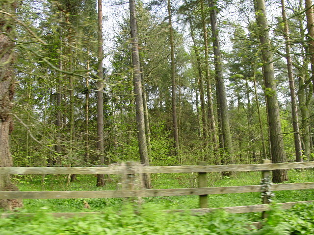
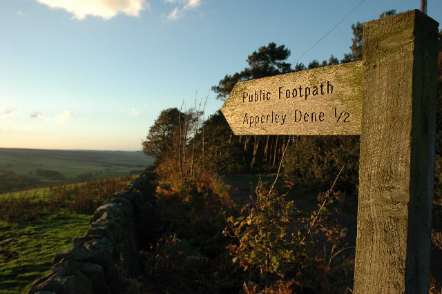
Black Hill is a popular destination for outdoor enthusiasts, including hikers, walkers, and nature lovers. Various trails and footpaths traverse the hill, allowing visitors to explore its rugged terrain and soak in the natural beauty. The hill is also home to a wide range of wildlife, including birds of prey, wildflowers, and grazing animals such as sheep and cattle.
The hill is easily accessible, with parking facilities available nearby. From the car park, visitors can embark on a challenging yet rewarding ascent to the summit, taking in the stunning surroundings along the way. Whether it is to enjoy a peaceful walk in nature or to satisfy the desire for adventure, Black Hill offers a truly enriching experience for all who visit.
If you have any feedback on the listing, please let us know in the comments section below.
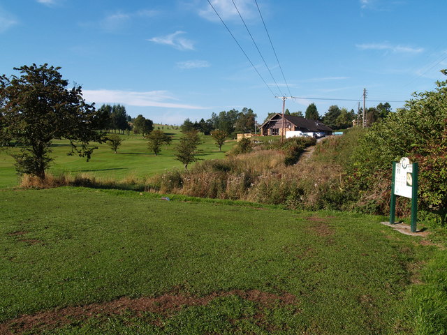
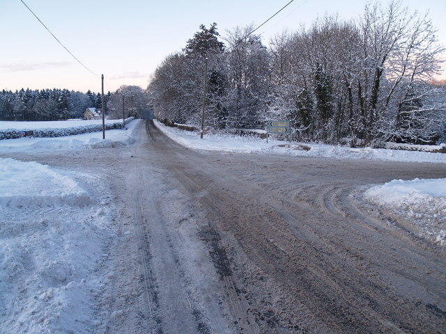
Black Hill Images
Images are sourced within 2km of 54.910644/-1.9049175 or Grid Reference NZ0657. Thanks to Geograph Open Source API. All images are credited.


Black Hill is located at Grid Ref: NZ0657 (Lat: 54.910644, Lng: -1.9049175)
Unitary Authority: Northumberland
Police Authority: Northumbria
What 3 Words
///compress.passing.dries. Near Stocksfield, Northumberland
Nearby Locations
Related Wikis
Apperley Dene
Apperley Dene is a hamlet in Stocksfield parish, Northumberland, England. It is situated south of the River Tyne between Hexham and Newcastle upon Tyne...

New Ridley
New Ridley is a hamlet in the county of Northumberland, England. It is in the parish of Stocksfield and the parliamentary constituency of Hexham. It is...

Hindley, Northumberland
Hindley is a small hamlet, comprising around 20 residences. It is in the parish of Stocksfield and is just to the south of Stocksfield in Northumberland...

Hedley on the Hill
Hedley on the Hill is a village in Northumberland, west of Newcastle upon Tyne. It is located between the valley of the River Derwent, and the watershed...
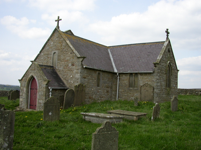
St Andrew's Church, Shotley
St Andrew's Church, Shotley, is a redundant Anglican church standing in an isolated position at a height of 960 feet (293 m) on Greymare Hill in Northumberland...

Painshawfield Estate
The Painshawfield, Batt House and Birches Nook Estate is a housing estate in the village of Stocksfield in Northumberland, England. It is commonly known...

Newlands, Northumberland
Newlands is a hamlet and former civil parish, now in the parish of Shotley Low Quarter, in the county of Northumberland, England. It is north of Ebchester...

Minsteracres
Minsteracres is an 18th-century mansion house, now a Christian retreat centre, in Northumberland, England. It is a Grade II listed building.The house was...
Nearby Amenities
Located within 500m of 54.910644,-1.9049175Have you been to Black Hill?
Leave your review of Black Hill below (or comments, questions and feedback).